The Minigaig in Cairngorms National Park

Cairngorms National Park, SC

The Minigaig

A 25.5-mile historic crossing with real navigation demands.

Photo: Wikimedia Commons
Length
41km
Time
14hr
Elev. change
660m
Difficulty
Challenging
  • Dogs allowed
  • High point 813 m
  • #128 of 260 in Cairngorms

Hear the audio tour

Old Bridge of Tilt and the Red Squirrel Walk

Overview

About The Minigaig

Why go

  • A rare high crossing with a clear route story from older north–south travel.
  • The pass and descent look into the broad landscapes of Strathspey and Glen Bruar.

Heads up

  • Long, remote and intermittently pathless; route-finding is part of the outing.
  • The original Dailriach crossing has no bridge and may require a hazardous ford.

Map & elevation

The route

Loading the Cairngorms map
Full map
Elevation153–813 m
TrailheadOld Bridge of Tilt56.77539, -3.83994
Keep this map with you offline in the Parkwolf app

Plan your hike

Before you go

Parking

The route starts at Old Bridge of Tilt, reached on foot from Blair Atholl along the east side of the River Tilt. No dedicated parking at the bridge was identified. This is point-to-point, so arrange transport between Blair Atholl and the B970/Ruthven end.

Safety

A remote high route with faint or intermittent paths, rough ground and burn crossings. The original Dailriach footbridge over the River Tromie is reported washed away; field reports describe a swift, deep ford. Verify the crossing before setting out and do not ford unsafe water. Dogs are allowed under Scotland’s access rules but need close control around livestock and ground-nesting birds.

3 active Cairngorms alerts

  • CautionStorm Boelo high windsStorm Boelo will bring extremely windy weather to the Cairngorms; take extra care and limit time outdoors. - The Park Authority expects the very windy weather to last until Monday 26 October.Official details
  • ClosureGlenmore wildfire closures and dangerous treesWildfire damage has closed Allt Mor car park and the path to Sugarbowl/Utsi’s Bridge; keep out of the closed area.Official details
See all 3 alerts
A park ranger sits on a dash-mounted phone, talking, as Parkwolf’s Tour Guide plays “Army Cutworm Moths: A Grizzly Bear Buffet” on Grand Loop Road below Dunraven Pass in Yellowstone
Parkwolf Tour GuideThe highest, rockiest slopes around here are a summer buffet for grizzly bears.

Cairngorms Tour Guide

Your drive to The Minigaig, narrated.

Parkwolf is a GPS audio tour guide for Cairngorms National Park. As you drive, it chimes in with what’s ahead: hidden gems, upcoming stops, history, geology, and wildlife, right through your car’s speakers.

See the Cairngorms audio tour

Recorded for this trailhead

Old Bridge of Tilt and the Red Squirrel Walk
0:00 / 0:26
“You're approaching Old Bridge of Tilt, with woodland walks from Glen Tilt car park. For a short stop, I'd choose the red-marked Red Squirrel Walk, a gentle one-mile loop taking thirty to forty minutes beside the river.”

Plays as you drive up to this trailhead in the Parkwolf Cairngorms Tour Guide.

More stories near here in the app

  • Atholl Country Life Museum and a Village Meal
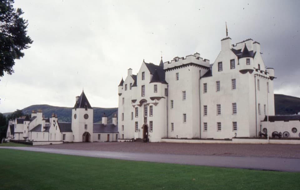
  • Blair Castle and Gardens
  • A Siege in the Family
  • The Woodland Leaves That Fold
  • 298 audio storiesacross Cairngorms’s roads, triggered by GPS as you drive
  • Wildlife heatmapsfor Red Deer, Reindeer, Osprey, and 13 more
  • Works offlinemaps, 260 trails, 90 places, and audio download before you lose signal
  • CarPlay readysimple controls built for the drive
★★★★★
“Fantastic app with many points of information… It’s great to just turn on while you’re driving and it gives you an audio tour of the national Park. We love it!!!!”
JMJamesApp Store review
Download Parkwolf on the App StoreGet Parkwolf on Google Play

4.7 from 8,600+ ratings

Trail guide

Hiking The Minigaig

A hard crossing, not a short hill walkThe Minigaig is a 25.

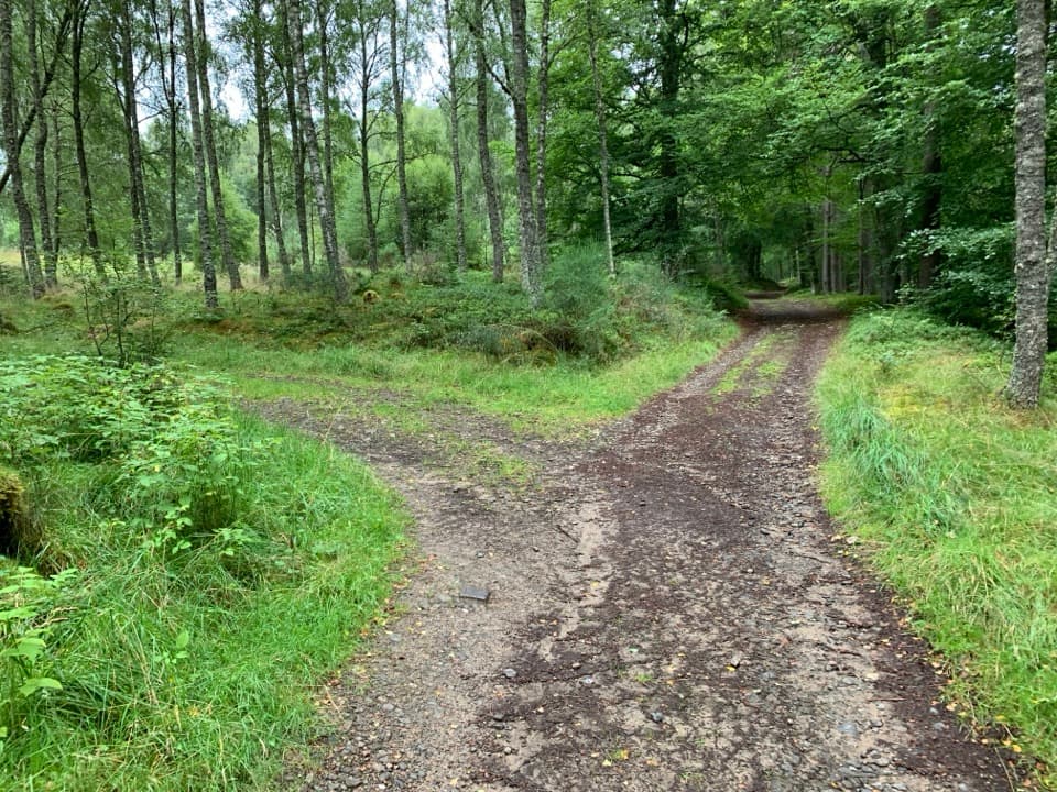
The Minigaig is a 25.5-mile (41 km) point-to-point route from Old Bridge of Tilt near Blair Atholl to the B970 by Ruthven Barracks, crossing the 833 m Minigaig Pass. It follows a historic drove and military road, but today it is a remote mountain crossing rather than a maintained long-distance trail: expect a mix of estate road, rough track, faint path and open hillside. Budget two days and about 14 hours of walking in total, before breaks and an overnight stop. This suits walkers who can navigate when the tread fades; it is not a short pass walk or a beginner's first mountain route.

From the Tilt to Glen BruarFrom Old Bridge of Tilt, cross the River Tilt toward Old Blair and turn northwest up the Banvie…

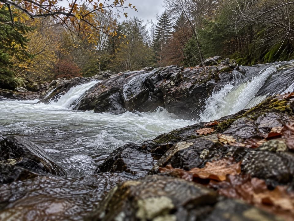
From Old Bridge of Tilt, cross the River Tilt toward Old Blair and turn northwest up the Banvie Burn road. After about 2 km, turn north alongside the Allt na Moine Baine for roughly 1 km, cross the burn and work northwest toward Allt an t-Seapail and Allt Sheicheachan. The Allt Sheicheachan bothy is a useful landmark on this approach. A path then rounds the hillside into Glen Bruar and reaches Bruar Lodge. From there, follow the east bank of Bruar Water for about 5 km before leaving the glen where it divides.

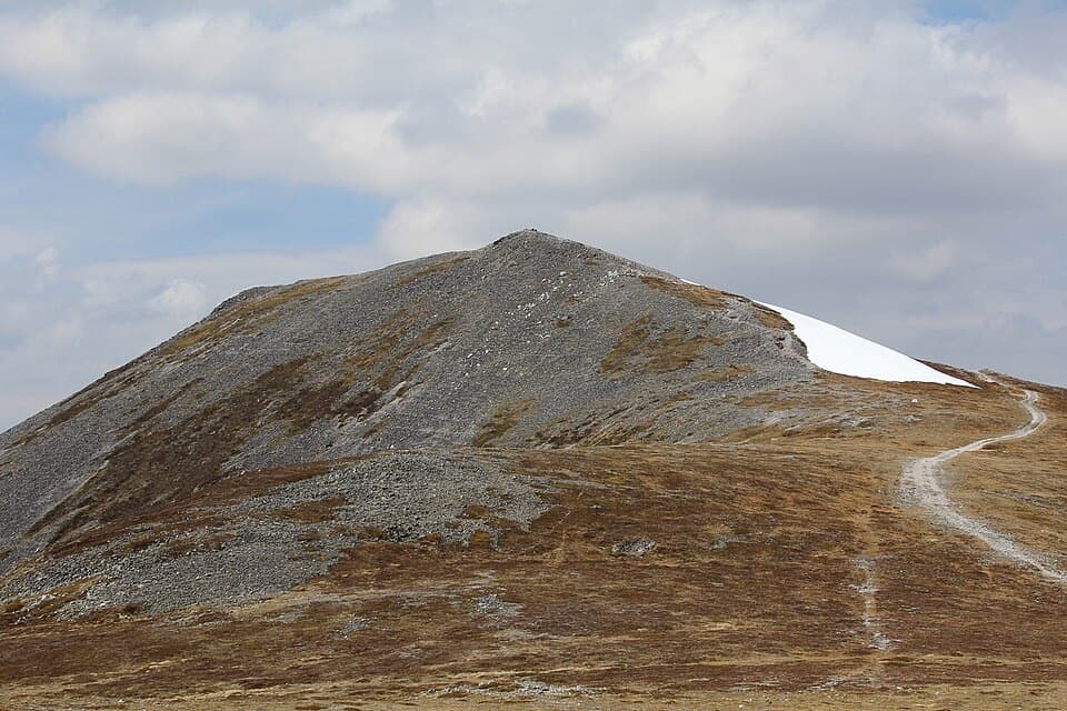
Climb to the watershedThe climb north to the crest of Uchd a’ Chlarsair is steep; it eases on the final slope to the…

The climb north to the crest of Uchd a’ Chlarsair is steep; it eases on the final slope to the Minigaig Pass at 833 m. Occasional white stones mark the high point. The view opens toward Strathspey, but this is exposed, path-finding country, not a groomed summit path. On the far side, descend across the west slopes of Leathad an Taobhain and follow the north bank of the Allt Bhran toward Glen Tromie. The line can be faint and the descent includes rough, wet ground and burn crossings. At the Allt a’ Chùil, frame the stream with the steep-sided glen around it to show the scale of the route.

Read the northern finish carefullyThe original line reaches the private road in Glen Tromie, then heads toward the B970 by…

The original line reaches the private road in Glen Tromie, then heads toward the B970 by Ruthven. Its old soldiers’ route crosses the River Tromie at Dailriach, where the footbridge is reported washed away and the approach is difficult to trace among deer fencing and forestry. A field account describes a swift, deep ford there. Do not assume the river is safely passable; check the crossing before planning this route. Other finishes use the bridge and stile at Glentromie Lodge, or continue to Tromie Bridge and link to the Speyside or Badenoch Way. Those are separate variants with different lines and distances.

An old road into BadenochThe Minigaig is shown as the only road north on maps from 1689 and 1725.

The Minigaig is shown as the only road north on maps from 1689 and 1725. Wade’s military road over Drumochter, built in 1728–30, later replaced it as the main crossing, although the Minigaig continued to appear as a summer road to Ruthven. The route was formally acknowledged as a public path in 1885. Ruthven Barracks, at the northern end, was built in 1719–21 after the 1715 rising on the site of earlier castles. After Culloden, Charles Edward Stuart’s message to disperse reached the regrouped Jacobite army there on 20 April 1746.

What to plan forThis is a one-way route, so arrange transport at both ends.

This is a one-way route, so arrange transport at both ends. The Allt Sheicheachan bothy is the only named shelter on the line; no food service or confirmed potable-water facility was found along the route. Dogs may accompany walkers under Scotland’s outdoor-access rules, but keep them close around farm animals and on a short lead or close at heel on moorland and in woods during the ground-nesting bird season, usually April through July.

Wildlife

Wildlife in Cairngorms

All Cairngorms wildlife maps

Sighting maps show where each species has been reported across Cairngorms. Wildlife moves, so no sighting is guaranteed.

Keep exploring

Near The Minigaig

See it all on the map

Trails that start nearby

Places near the trailhead

Parkwolf’s Cairngorms ranking

Top-rated trails in Cairngorms

All 260 trails
  1. 1Loch an Eilein CircuitEasy · 5 km
  2. 2Lairig GhruChallenging · 30.6 km
  3. 3Ben Macdui and Cairn Gorm CircuitChallenging · 19.8 km
  4. 4Loch Morlich TrailModerate · 5.6 km
  5. 5Meall a’ Bhuachaille CircuitChallenging · 8 km
  6. 6Loch Muick CircuitModerate · 12.5 km

Take Parkwolf to Cairngorms.

The audio tour guide for the drive, plus offline maps, trails, and wildlife heatmaps for when the signal drops.

4.7 from 8,600+ ratings

Download Parkwolf on the App StoreGet Parkwolf on Google Play