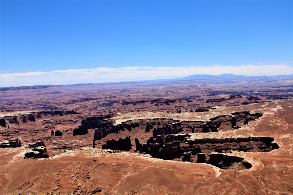
Angel Arch in Canyonlands National Park

Sight · Canyonlands National Park

Angel Arch

A landmark arch reached on a serious Salt Creek backcountry trip.

Photo: Wikimedia Commons
Type
Sight
Nearest trail
1.5 mi

Hear the audio tour

Lower Salt Creek Gate and Angel Arch

Overview

About Angel Arch

Why stop

  • A huge sandstone arch with the Molar to frame its scale.

Heads up

  • Remote access through deep sand and dense, sometimes hard-to-follow growth.

Map

Where it is

Loading the Canyonlands map
Full map
SightAngel Arch38.05174, -109.75652
Keep this map with you offline in the Parkwolf app

Plan your stop

Before you go

2 active Canyonlands alerts

  • ClosureRain-damaged Needles backcountry roads impassableRecent rains have made several Needles backcountry roads impassable; do not drive these routes.Official details
  • CautionMaze access roads require high-clearance 4WDOnly use high-clearance 4WD to reach Hans Flat or Horseshoe Canyon in The Maze; low-clearance vehicles are not recommended on these damaged, rutted, muddy routes.Official details
Canyonlands alerts
A park ranger sits on a dash-mounted phone, talking, as Parkwolf’s Tour Guide plays “Army Cutworm Moths: A Grizzly Bear Buffet” on Grand Loop Road below Dunraven Pass in Yellowstone
Parkwolf Tour GuideThe highest, rockiest slopes around here are a summer buffet for grizzly bears.

Canyonlands Tour Guide

Your drive to Angel Arch, narrated.

Parkwolf is a GPS audio tour guide for Canyonlands National Park. As you drive, it chimes in with what’s ahead: hidden gems, upcoming stops, history, geology, and wildlife, right through your car’s speakers.

See the Canyonlands audio tour

Recorded for this place

Lower Salt Creek Gate and Angel Arch
0:00 / 0:31
“You're approaching Lower Salt Creek gate, a starting point for a planned backpacking trip to Angel Arch. The arch cuts through a tall sandstone fin, with tooth-shaped Molar Rock in front of it.”

Plays as you drive up to Angel Arch in the Parkwolf Canyonlands Tour Guide.

  • 43 audio storiesacross Canyonlands’s roads, triggered by GPS as you drive
  • Wildlife heatmapsfor Bighorn Sheep, Mule Deer, Coyote, and 13 more
  • Works offlinemaps, 63 trails, 65 places, and audio download before you lose signal
  • CarPlay readysimple controls built for the drive
★★★★★
“Fantastic app with many points of information… It’s great to just turn on while you’re driving and it gives you an audio tour of the national Park. We love it!!!!”
JMJamesApp Store review
Download Parkwolf on the App StoreGet Parkwolf on Google Play

4.7 from 8,600+ ratings

Guide

More about Angel Arch

A landmark in a remote canyonAngel Arch is a natural arch cut through a high sandstone fin in a side canyon of Salt Creek,…

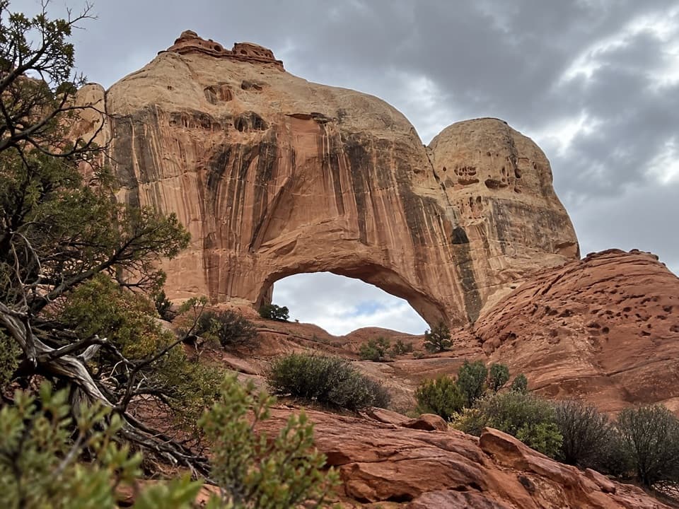
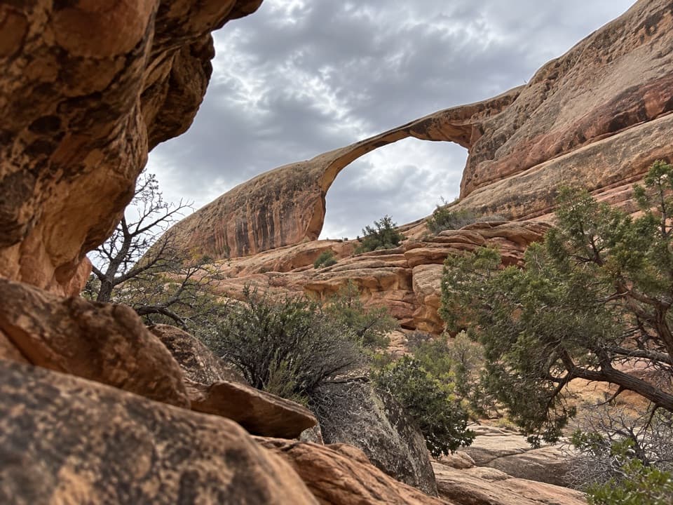
Angel Arch is a natural arch cut through a high sandstone fin in a side canyon of Salt Creek, deep in Canyonlands’ Needles District. It is the park’s largest natural arch: the opening is reported at about 135 feet high and 120 feet wide, with the fin rising roughly 450 feet above the canyon floor. This is a serious backcountry goal, not a quick sightseeing stop.

Let the Molar frame itThe Molar is a separate, tooth-shaped rock in front of the arch.

The Molar is a separate, tooth-shaped rock in front of the arch. From there, the whole opening reads clearly and the foreground gives it scale. A closer approach can hide part of the arch, so keep the Molar in the view instead of chasing a tighter angle.

Plan the approach before you goThe Angel Arch branch leaves Upper Salt Creek.

The Angel Arch branch leaves Upper Salt Creek. From the Needles Campground trailhead, the route follows Peekaboo into the canyon; Cathedral Butte is the southern trailhead, and a through-hike needs a vehicle shuttle. Mileage varies by starting point and route, so use a topographic map to plan camps and daylight rather than relying on one advertised total.

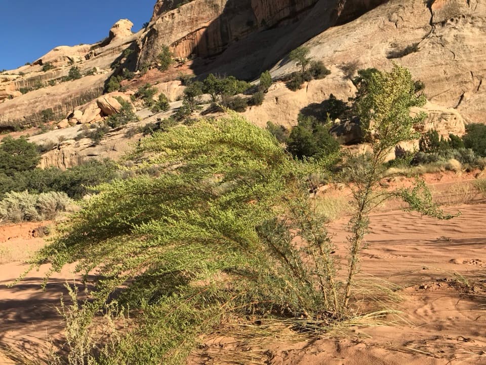
Salt Creek is not an easy trail corridor: deep sand, reeds and dense vegetation can slow you down or hide the path, and seasonal flooding can change the route. Mosquitoes and gnats can be common from early summer into autumn. Most backpackers spend two or three nights in the canyon, and a full through-hike in two days or less is discouraged. Roads to either end can be impassable or require high-clearance four-wheel drive. For Peekaboo, park at Cave Springs/Salt Creek Gate and walk the road instead of parking along Salt Creek or Horse Canyon, where flash flooding is a risk.

Pack and camp for the backcountryCarry the food and water you need; springs and pools vary, so do not rely on finding a…

Carry the food and water you need; springs and pools vary, so do not rely on finding a dependable source without planning and treatment. Overnight camping requires a reserved designated site or the Salt & Horse at-large zone; dispersed camping elsewhere in Salt Creek is not allowed. From March 15 through November 30, food, drinks, scented items and trash must be kept in a park-approved hard-sided animal-resistant container at least 100 feet from camp. Bears have been seen in the canyon.

A changing landscape with a long human storyThe arch is part of a Cedar Mesa Sandstone fin formed from coastal dunes about 245 to 286…

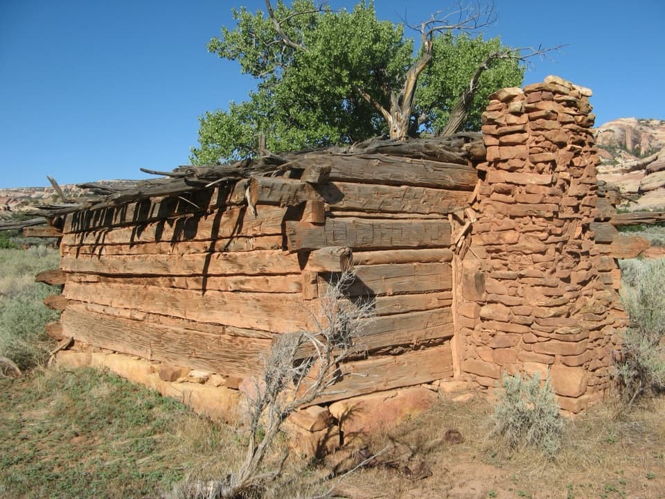
The arch is part of a Cedar Mesa Sandstone fin formed from coastal dunes about 245 to 286 million years ago. Its name comes from the figure-like shape of an angel with folded wings; it was called Pegasus Arch before Angel Arch was adopted in 1963. People have lived in or traveled through the region for more than 10,000 years, and Salt Creek is part of a protected archaeological district. Visit only cultural sites marked open, and leave artifacts and structures untouched.

Wildlife

Wildlife in Canyonlands

All Canyonlands wildlife maps

Sighting maps show where each species has been reported across Canyonlands. Wildlife moves, so no sighting is guaranteed.

Parkwolf’s Canyonlands ranking

Top sights in Canyonlands

All 65 places
  1. 1Mesa ArchSight
  2. 2Grand View PointSight
  3. 3Green River OverlookSight
  4. 4Great GallerySight
  5. 5Upheaval DomeSight
  6. 6Druid ArchSight

Take Parkwolf to Canyonlands.

The audio tour guide for the drive, plus offline maps, trails, and wildlife heatmaps for when the signal drops.

4.7 from 8,600+ ratings

Download Parkwolf on the App StoreGet Parkwolf on Google Play