Parking
Follow Davis Canyon Road about 9 miles from Highway 211 to its end at the park boundary and trailhead register. High-clearance four-wheel drive is required.
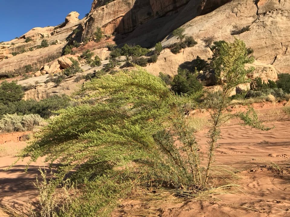
Canyonlands National Park, UT
A sandy wash leads to arches, shaded alcoves, and rock art
Overview
Map & elevation
Plan your hike

The highest, rockiest slopes around here are a summer buffet for grizzly bears.
Canyonlands Tour Guide
Parkwolf is a GPS audio tour guide for Canyonlands National Park. As you drive, it chimes in with what’s ahead: hidden gems, upcoming stops, history, geology, and wildlife, right through your car’s speakers.
See the Canyonlands audio tour“Fantastic app with many points of information… It’s great to just turn on while you’re driving and it gives you an audio tour of the national Park. We love it!!!!”


Trail guide
Upper Davis Canyon is a 4.3-mile out-and-back from a trailhead at the Needles boundary, following a sandy wash past alcoves, arches and archaeological sites. This is an informal backcountry hike, not a maintained, signed tread: the route fades into a web of social paths, and soft sand makes the miles slow. Allow about four hours, bring all your water, and choose it only if you're comfortable finding your way through a broad wash.
A faint path leads from the trail register to the main wash. The early granaries and cliff dwellings sit in alcoves across the wash and along the canyon walls. The shaded Five Faces panel is described on a ledge; accounts mention slickrock and a narrow ledge on the close approach. Stay on existing social tracks, keep back from the masonry, and never touch the images or move anything. Back in the wash, look along both walls for small arches. A longer branch leads toward Log Ruin, a timber-built dwelling.
The 4.3-mile figure is a total round trip and is the shorter outing recorded here. Longer directions continue farther up the wash toward Log Ruin and give about 6 miles round trip. These descriptions follow faint tracks through branches rather than a single signed route, so the turnaround is not a fixed marker. The mapped line follows the named footpath into the connected main wash and draws the corridor once; it ends at an approximate point and doesn't include every ruin detour or the longer Log Ruin extension. Don't treat its endpoint as a trail sign.
The canyon cuts through Cedar Mesa sandstone and divides into smaller side canyons. Alcoves in the walls hold granaries, cliff dwellings and rock art; small natural arches appear farther along the wash. The timber-built Log Ruin is a distinctive feature of the longer walk. The attraction is the sequence of close canyon details and archaeological sites, not one summit or overlook.
Davis Canyon Road runs about 9 miles from Highway 211 to the park boundary, where the road ends by the trailhead. A high-clearance four-wheel-drive vehicle is required for this backcountry road; check conditions with the Needles Visitor Center before setting out. No drinking-water source or food service is established along the hike, so carry what you need. Pets are prohibited on hiking trails and four-wheel-drive roads. An overnight stay inside the park requires a backcountry permit.
Wildlife
 48 sightingsBighorn SheepMost seen around 7 AMSighting map
 47 sightingsMule DeerMost seen around 7 AMSighting map
 12 sightingsCoyoteMost seen around 7 PMSighting map
 30 sightingsWestern RattlesnakeMost seen around 7 PMSighting map
 18 sightingsTurkey VultureMost seen around 11 AMSighting map
 18 sightingsWild TurkeyMost seen around 7 AMSighting map
Sighting maps show where each species has been reported across Canyonlands. Wildlife moves, so no sighting is guaranteed.
Keep exploring
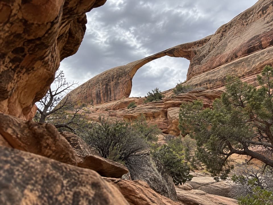 EasyCastle Arch Trail0.9 mi · 45 min · 2.7 mi awayA short arch walk beyond a permit-required 4WD road.
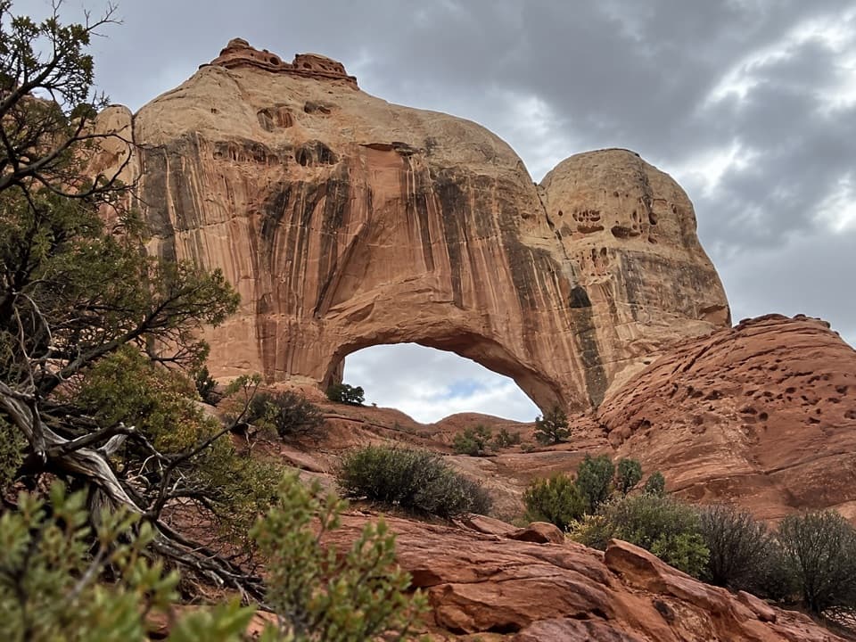 ModerateFortress Arch Trail1 mi · 1 hr · 2.8 mi awayA short, rocky climb to a tucked-away sandstone arch.
 ModerateHorse Canyon Road Walk to Paul Bunyan’s Potty6.8 mi · 4 hr · 6.9 mi awayA sandy road walk to a sandstone arch in a canyon.
 ChallengingAngel Arch Trail27.5 mi · 20 hr · 7 mi awayMolar Rock and a giant arch reward a hard canyon walk.
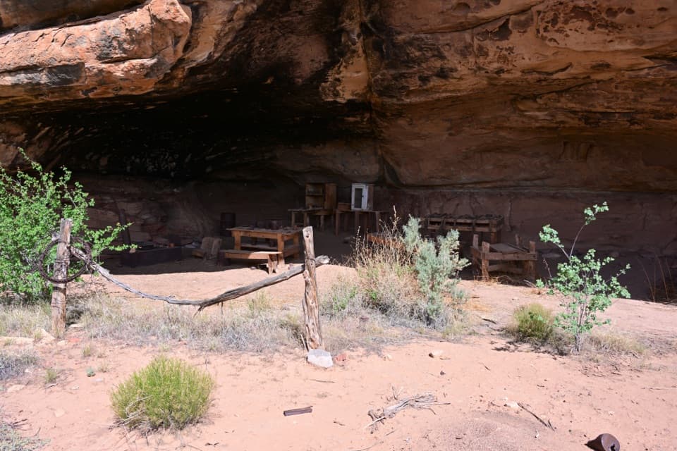 EasyCave Spring Trail0.6 mi · 45 min · 7.3 mi awayA short loop with a cowboy camp, spring alcove, and rock art.
 ChallengingAmerican Discovery Trail (Canyonlands Passage)19.8 mi · 10 hr · 7.3 mi awayA remote, one-way 19.8-mile road walk through The Needles.
 EasyStone Storehouse Trail0.3 mi · 20 min · 8 mi awayA short loop to an Indigenous storehouse beneath a sandstone alcove.
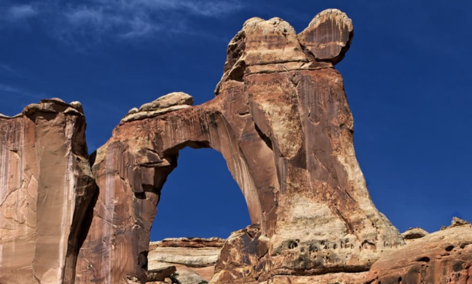 ChallengingSalt Creek Canyon Trail22.5 mi · 18 hr · 8.2 mi awayA high mesa drop opens onto a green canyon threaded with history.Sight · 4.2 mi awayAngel ArchA landmark arch reached on a serious Salt Creek backcountry trip.
 Sight · 4.3 mi awayAll American ManA vivid pictograph on a remote Salt Creek backcountry route.
 Campground · 5.2 mi awayPeekaboo CampA remote two-site camp near rock art, for experienced 4WD drivers.
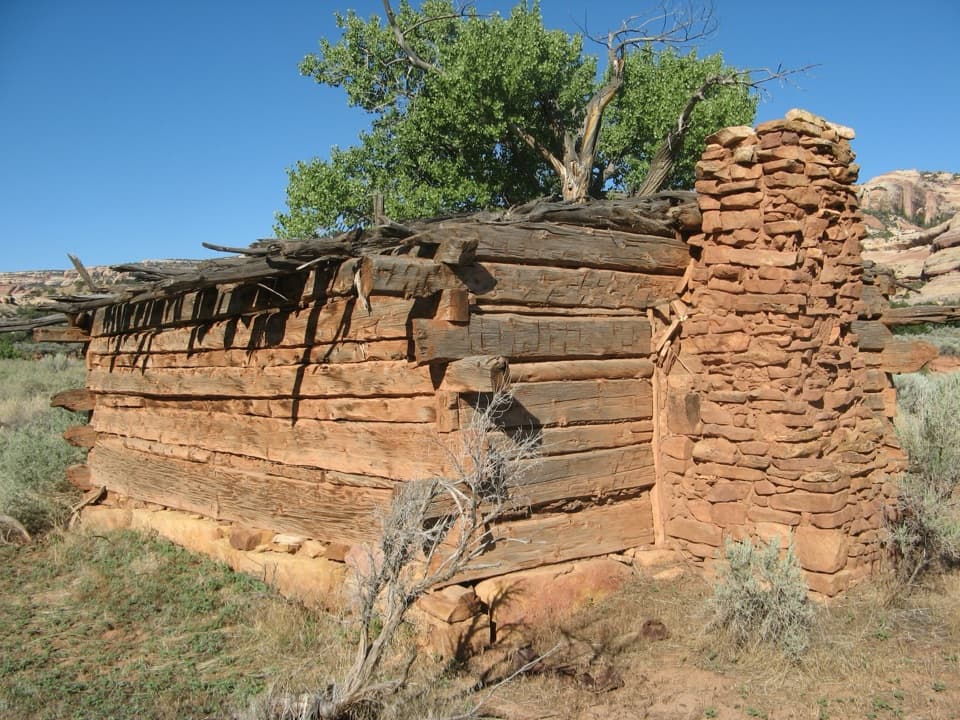 Sight · 6.6 mi awayKirk’s CabinA hand-hewn ranch cabin tucked into remote Salt Creek.Sight · 7.3 mi awayCave Spring and Cowboy CampSpring, cowboy camp and rock art all fit in a 45-minute loop.
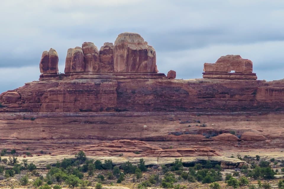 Sight · 7.9 mi awayWooden Shoe Arch OverlookA quick stop for one unmistakable shoe-shaped arch.Sight · 7.9 mi awayStone StorehouseA quick loop to an ancient granary beneath a sandstone alcove.
 Entrance station · 8 mi awayThe Needles Entrance StationBuy your park pass here before continuing into The Needles.
Parkwolf’s Canyonlands ranking

The audio tour guide for the drive, plus offline maps, trails, and wildlife heatmaps for when the signal drops.




