Parking
Start where the Castle Arch footpath leaves Horse Canyon Road; a separate parking area is not identified at this junction. The road requires a day-use backcountry permit and high-clearance, low-range 4WD.
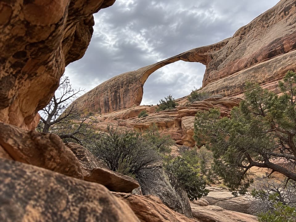
Canyonlands National Park, UT
A short arch walk beyond a permit-required 4WD road.
Overview
The payoff is a thin, slightly sloping sandstone span set in a layered canyon wall. From some angles, a split running along the span stands out. Keep the surrounding sandstone in your photo so the narrow opening stays in context. The exact legal viewing edge is not documented, so stay on the mapped path and don't climb onto or underneath the arch.
 Parkwolf’s verdictThe arch is the payoff
Map & elevation
Plan your hike

The highest, rockiest slopes around here are a summer buffet for grizzly bears.
Canyonlands Tour Guide
Parkwolf is a GPS audio tour guide for Canyonlands National Park. As you drive, it chimes in with what’s ahead: hidden gems, upcoming stops, history, geology, and wildlife, right through your car’s speakers.
See the Canyonlands audio tour“Fantastic app with many points of information… It’s great to just turn on while you’re driving and it gives you an audio tour of the national Park. We love it!!!!”


Trail guide
Castle Arch Trail is a short out-and-back spur from Horse Canyon Road into a side canyon of the Needles, ending near the slender Castle Arch. The mapped path is about 0.46 mile each way, or about 0.92 mile round trip. Terrain samples rise about 150 feet from the road to the far end. Allow roughly 45 minutes on foot; that is a planning estimate because the short spur has no reliable published time, surface or grade. The drive is the bigger commitment.
The spur leaves Horse Canyon Road. Reaching it requires a high-clearance, low-range 4WD vehicle and a day-use backcountry permit. Deep sand, deep water and quicksand can make the road impassable, so check its current status before driving. There is no food, water or toilet facility listed at the trail junction; bring what you need for a remote backcountry stop. Pets are prohibited on the backcountry roads and trails, even inside vehicles.
Wildlife
 48 sightingsBighorn SheepMost seen around 7 AMSighting map
 47 sightingsMule DeerMost seen around 7 AMSighting map
 12 sightingsCoyoteMost seen around 7 PMSighting map
 30 sightingsWestern RattlesnakeMost seen around 7 PMSighting map
 18 sightingsTurkey VultureMost seen around 11 AMSighting map
 18 sightingsWild TurkeyMost seen around 7 AMSighting map
Sighting maps show where each species has been reported across Canyonlands. Wildlife moves, so no sighting is guaranteed.
Keep exploring
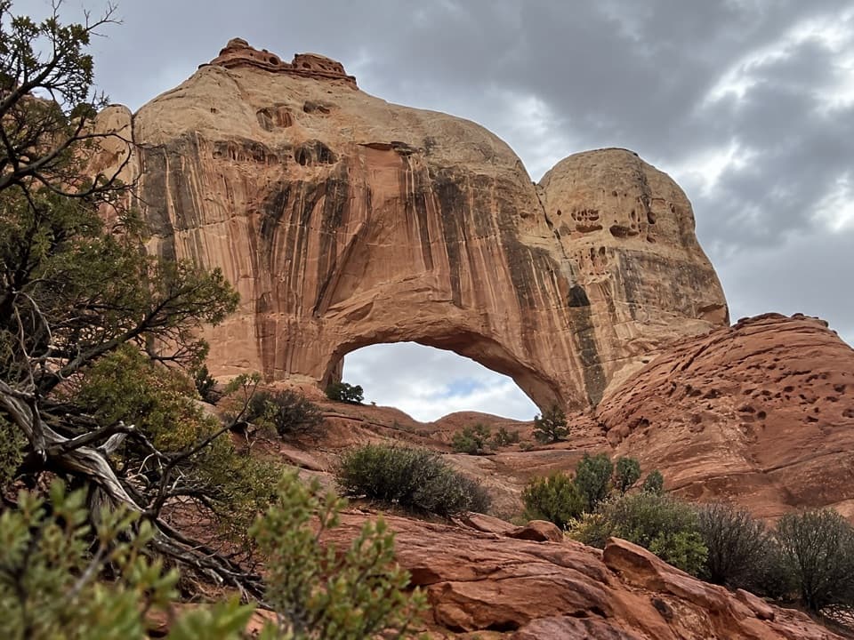 ModerateFortress Arch Trail1 mi · 1 hr · 0.1 mi awayA short, rocky climb to a tucked-away sandstone arch.
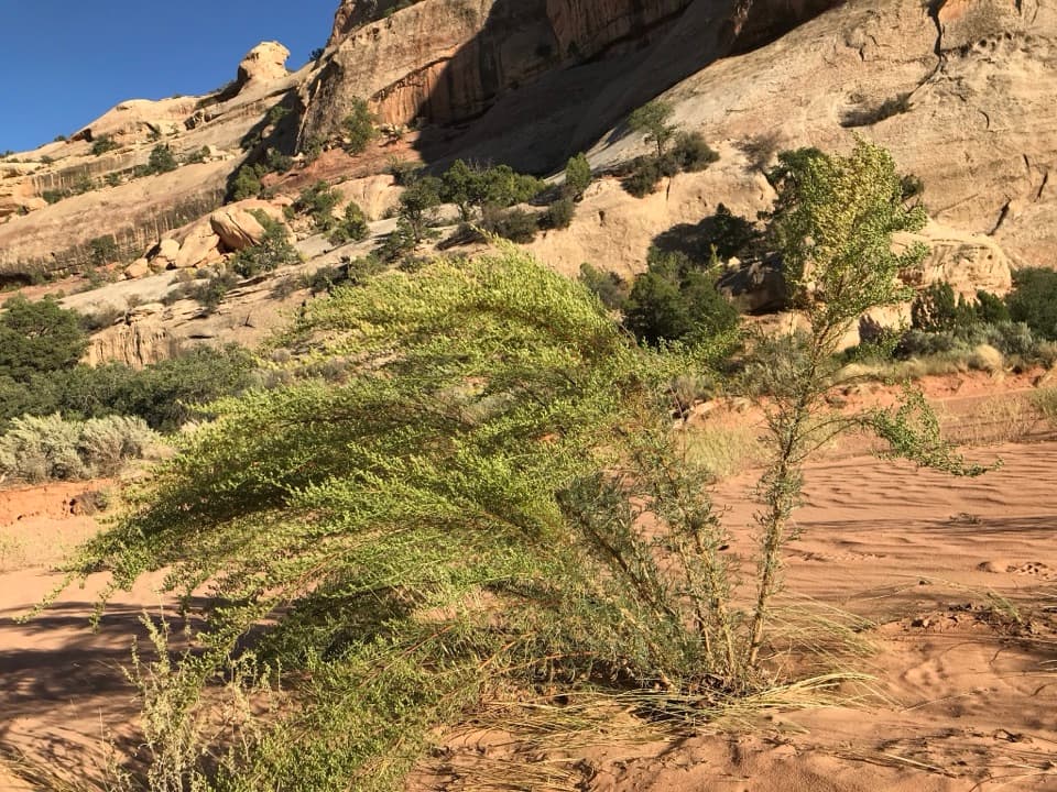 ModerateUpper Davis Canyon Trail4.3 mi · 4 hr · 2.7 mi awayA sandy wash leads to arches, shaded alcoves, and rock art
 ModerateHorse Canyon Road Walk to Paul Bunyan’s Potty6.8 mi · 4 hr · 6.1 mi awayA sandy road walk to a sandstone arch in a canyon.
 ChallengingAngel Arch Trail27.5 mi · 20 hr · 6.1 mi awayMolar Rock and a giant arch reward a hard canyon walk.
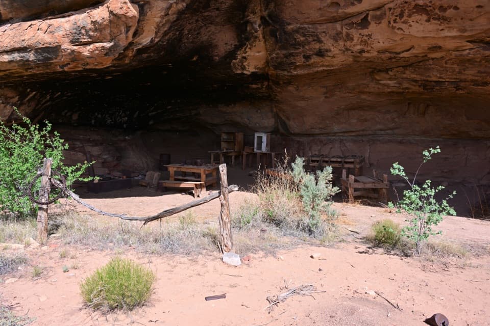 EasyCave Spring Trail0.6 mi · 45 min · 6.6 mi awayA short loop with a cowboy camp, spring alcove, and rock art.
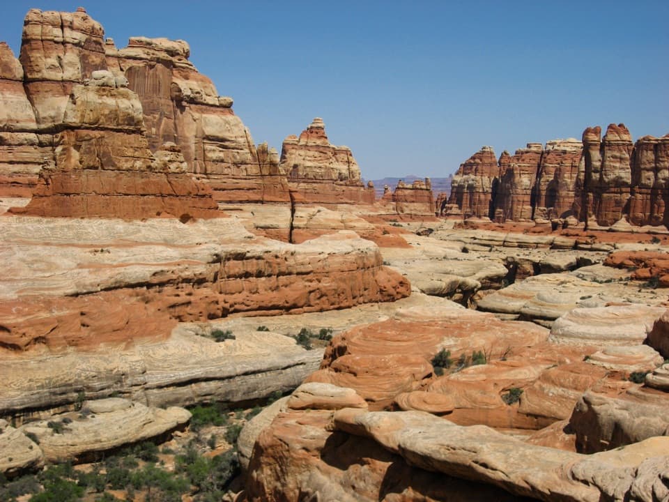 ChallengingBig Spring Canyon to Elephant Canyon Loop Trail10.5 mi · 5 hr · 6.7 mi awayTwo ladders cross a slickrock pass between Big Spring and Elephant.
 ChallengingPeekaboo Trail10.8 mi · 6 hr · 6.8 mi awayTwo ladders and high slickrock make this a serious Needles day hike.
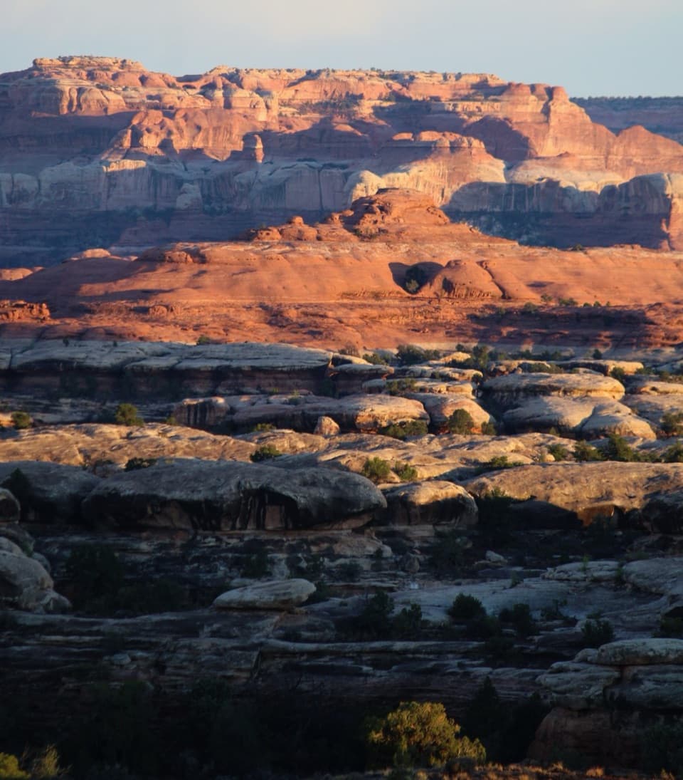 ChallengingWooden Shoe Canyon to Lost Canyon Loop Trail8.7 mi · 5.5 hr · 6.8 mi awayTwo canyon floors, slickrock climbs, and one ladder in a rugged loop.Sight · 1.6 mi awayAngel ArchA landmark arch reached on a serious Salt Creek backcountry trip.
 Sight · 2.2 mi awayAll American ManA vivid pictograph on a remote Salt Creek backcountry route.
 Campground · 3.8 mi awayPeekaboo CampA remote two-site camp near rock art, for experienced 4WD drivers.
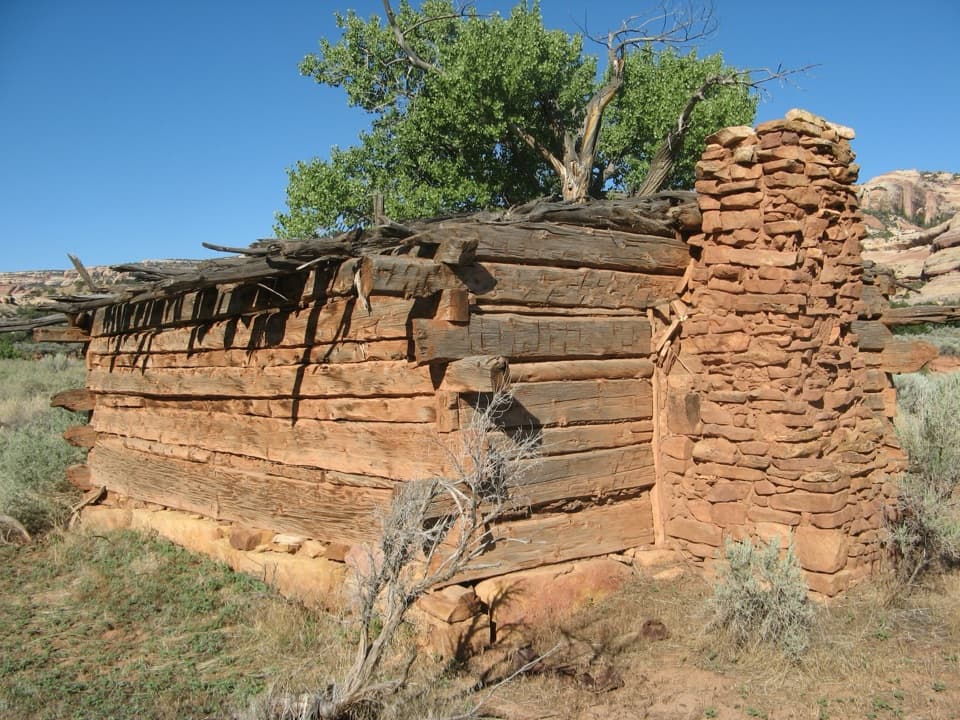 Sight · 5.4 mi awayKirk’s CabinA hand-hewn ranch cabin tucked into remote Salt Creek.
 Sight · 5.7 mi awayDruid ArchA 10.8-mile hike ends beneath a striking two-opening sandstone arch.Sight · 6.5 mi awayCave Spring and Cowboy CampSpring, cowboy camp and rock art all fit in a 45-minute loop.
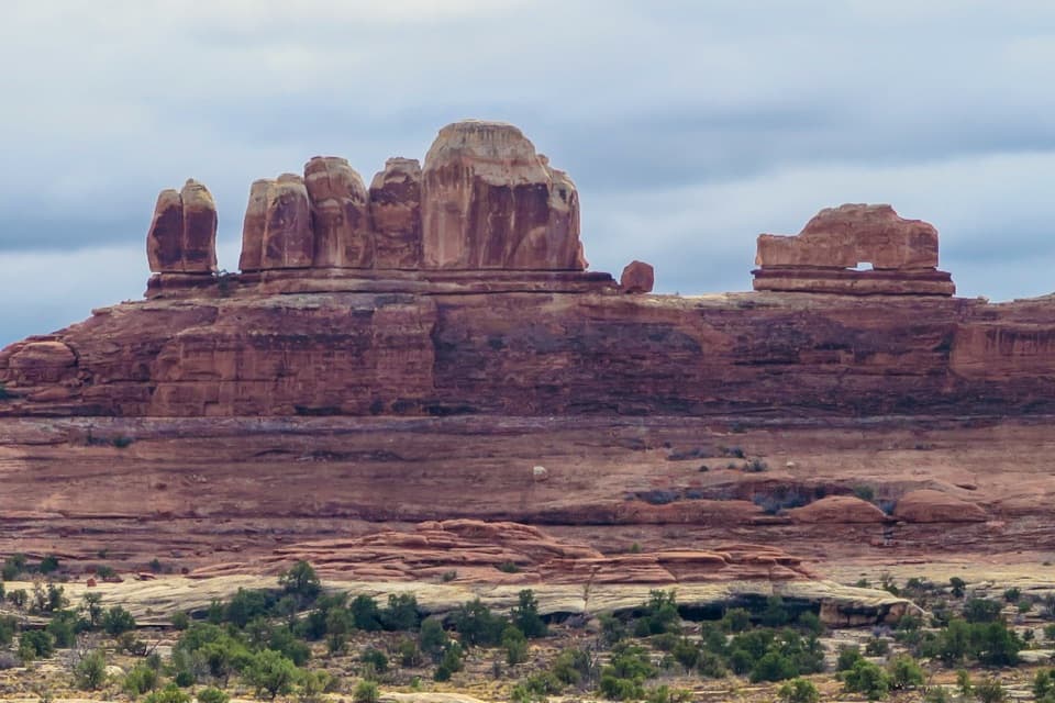 Sight · 6.6 mi awayWooden Shoe Arch OverlookA quick stop for one unmistakable shoe-shaped arch.
 Campground · 6.8 mi awayThe Needles CampgroundCamp among sandstone spires, with Needles hikes close at hand.
Parkwolf’s Canyonlands ranking
The audio tour guide for the drive, plus offline maps, trails, and wildlife heatmaps for when the signal drops.




