1 active Cape Cod alert
- CautionSharks active in park waters through OctoberSharks are active in park waters through October; heed beach guidelines and signage before entering the water.Official details
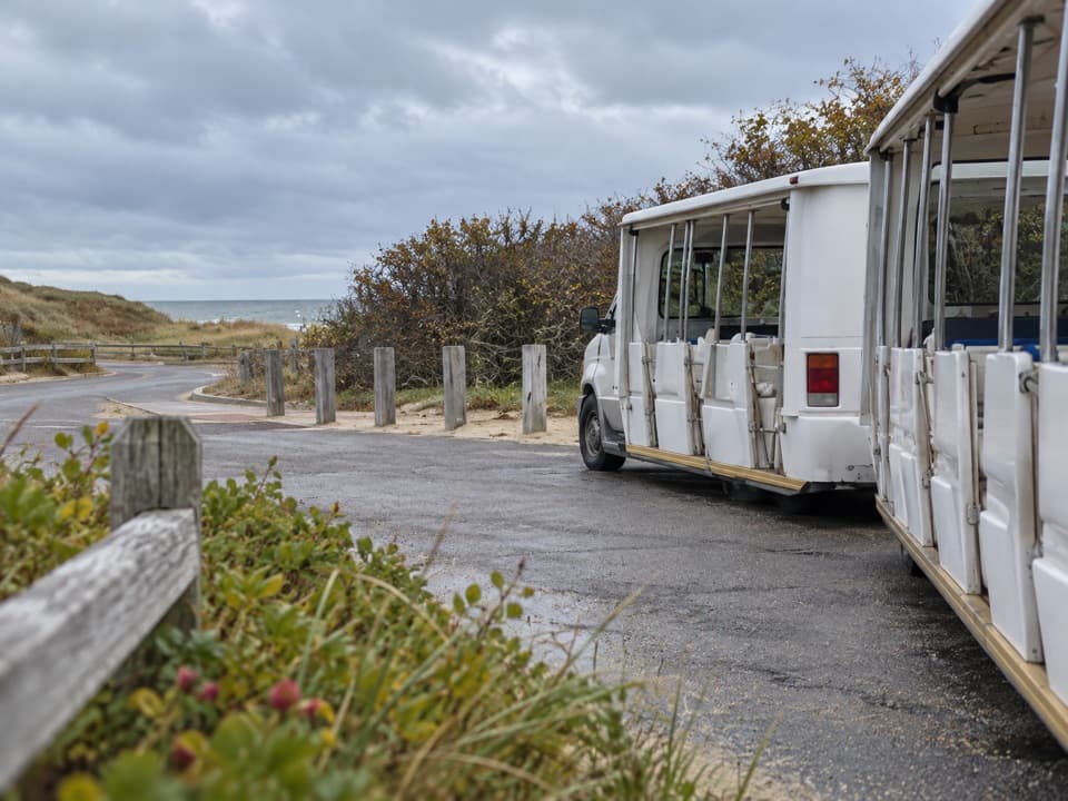
Entrance station · Cape Cod National Seashore
Settle fees and catch the Coast Guard Beach shuttle here.
Overview
Map
Plan your stop

The highest, rockiest slopes around here are a summer buffet for grizzly bears.
Cape Cod Tour Guide
Parkwolf is a GPS audio tour guide for Cape Cod National Seashore. As you drive, it chimes in with what’s ahead: hidden gems, upcoming stops, history, geology, and wildlife, right through your car’s speakers.
Recorded for this place
Coast Guard Beach via Little Creek“You're approaching the access route for Coast Guard Beach in Eastham. The shore is farther along, and in summer most visitors park at Little Creek and take the shuttle, with a walk to the water afterward.”
Plays as you drive up to Little Creek Beach Shuttle and Fee Station in the Parkwolf Cape Cod Tour Guide.
More stories near here in the app
“Fantastic app with many points of information… It’s great to just turn on while you’re driving and it gives you an audio tour of the national Park. We love it!!!!”


Guide
Little Creek Beach Shuttle and Fee Station is the inland parking and access point for Coast Guard Beach on Doane Road in Eastham. Park here and continue by shuttle; the beach is separate from the lot, so build that transfer into your visit.
Coast Guard Beach entrance fees are collected here, and daily and annual park passes are sold at the booth. Sort payment before boarding rather than expecting to handle it at the shoreline.
A shuttle stop is part of this site, but operating dates and timing can vary. Check current service before building your day around the ride; don't rely on an old departure time or assume the shuttle runs outside its operating season.
Wildlife
 459 sightingsGray SealMost seen around 11 AMSighting map
 84 sightingsCoyoteMost seen around 6 AMSighting map
 297 sightingsRed FoxMost seen around 7 PMSighting map
 49 sightingsWhite-tailed DeerMost seen around 6 AMSighting map
 263 sightingsHorseshoe CrabMost seen around 8 PMSighting map
 73 sightingsGreat Blue HeronMost seen around 6 PMSighting map
Sighting maps show where each species has been reported across Cape Cod. Wildlife moves, so no sighting is guaranteed.
Keep exploring
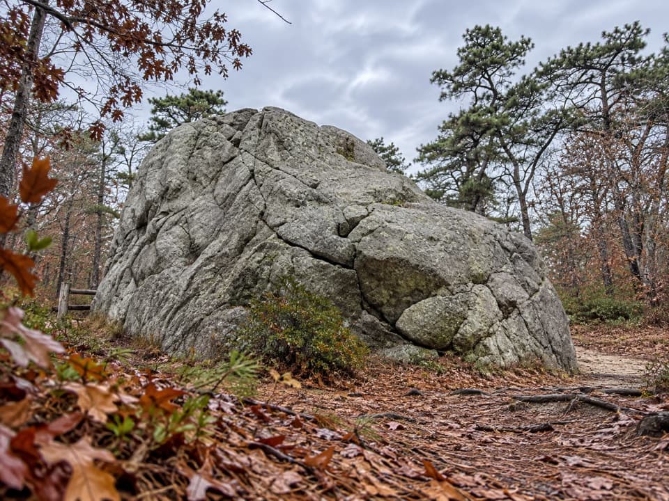 EasyDoane Trail0.6 mi · 30 min · 0.2 mi awayA short paved loop past a glacial boulder at the start.
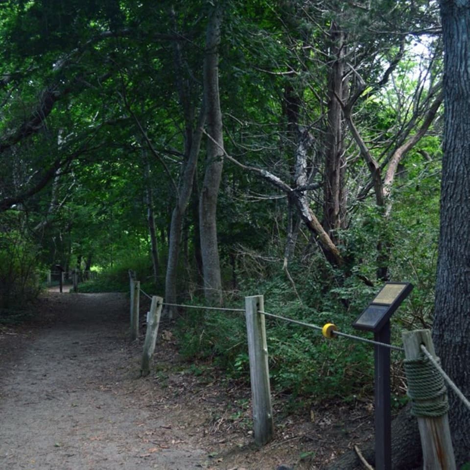 EasyButtonbush Trail0.3 mi · 15 min · 0.8 mi awayBraille, guide ropes and a pond bridge pack into 0.3 miles.
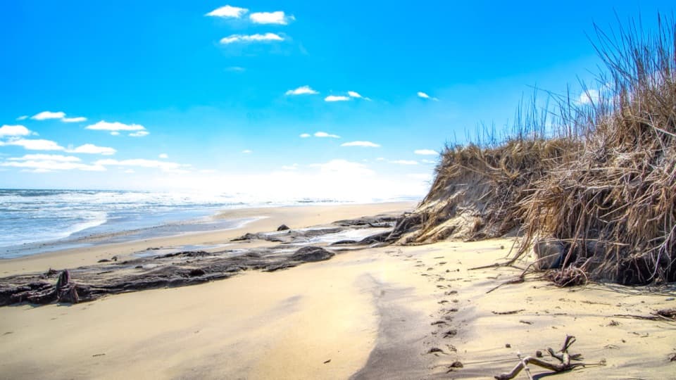 EasyCoast Guard Beach Trail4 mi · 2.2 hr · 0.8 mi awaySalt marsh footpath to a wide Cape Cod beach.
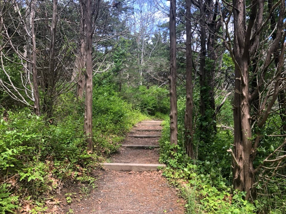 EasyNauset Marsh Trail1.3 mi · 1 hr · 0.8 mi awaySalt Pond, tidal marsh and a short loop through recovering forest
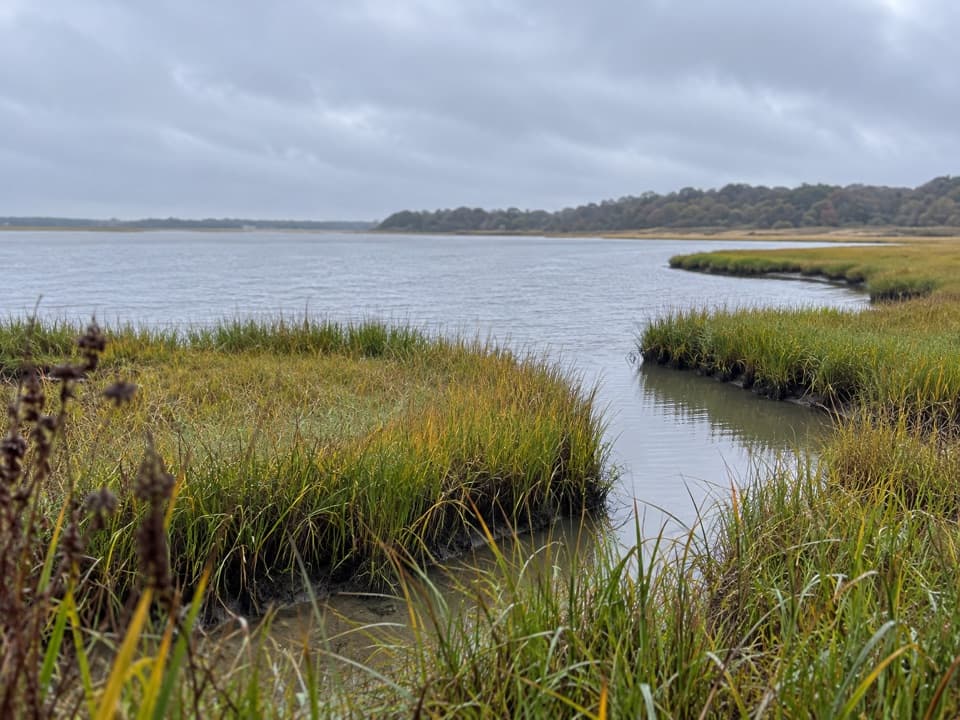 EasyNauset Bike Trail2 mi · 1.3 hr · 1 mi awayA rolling paved path through woods to Coast Guard Beach.
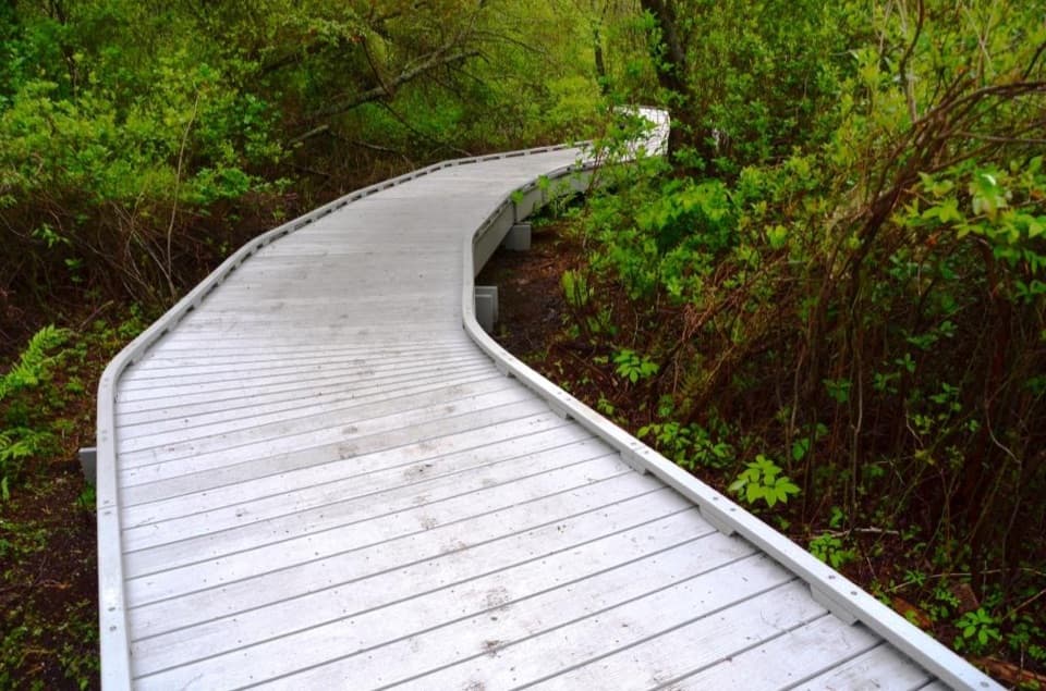 EasyRed Maple Swamp Trail0.8 mi · 30 min · 1.7 mi awayA short boardwalk beneath red maples, brightest in fall.
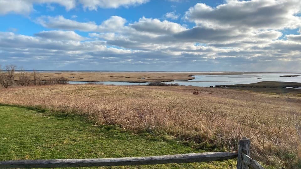 EasyFort Hill Trail1 mi · 45 min · 1.9 mi awayA short field loop with marsh views and a 20-ton story.
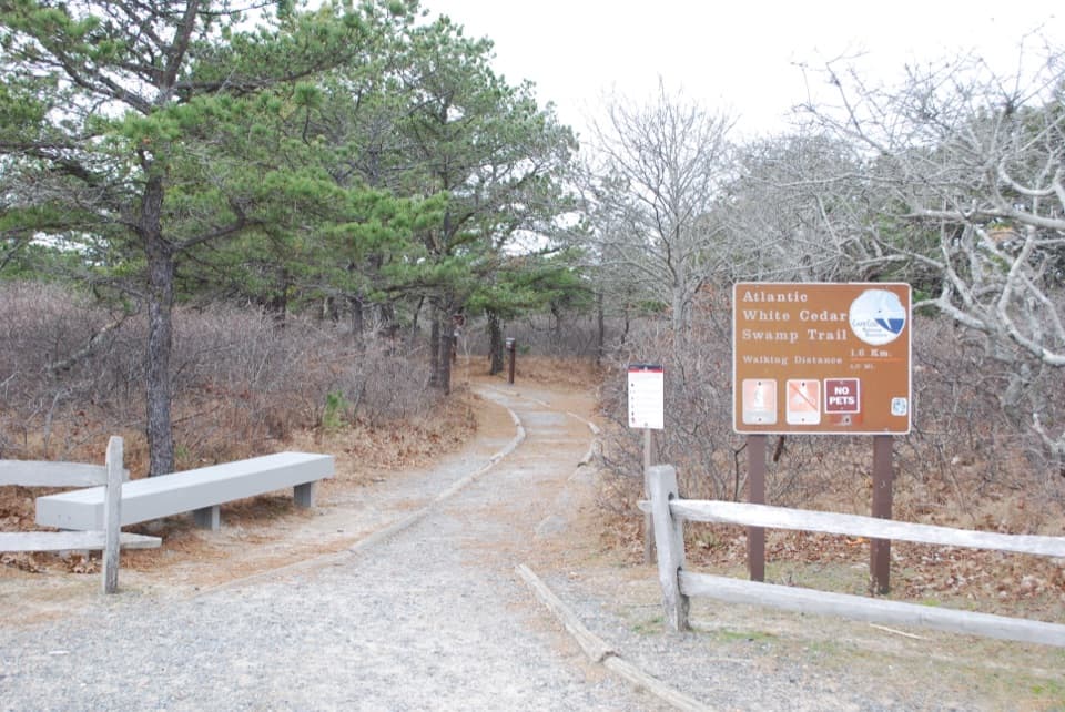 ModerateAtlantic White Cedar Swamp Trail1.2 mi · 1 hr · 4.6 mi awayBoardwalk through cedar swamp; half a mile of soft sand after.
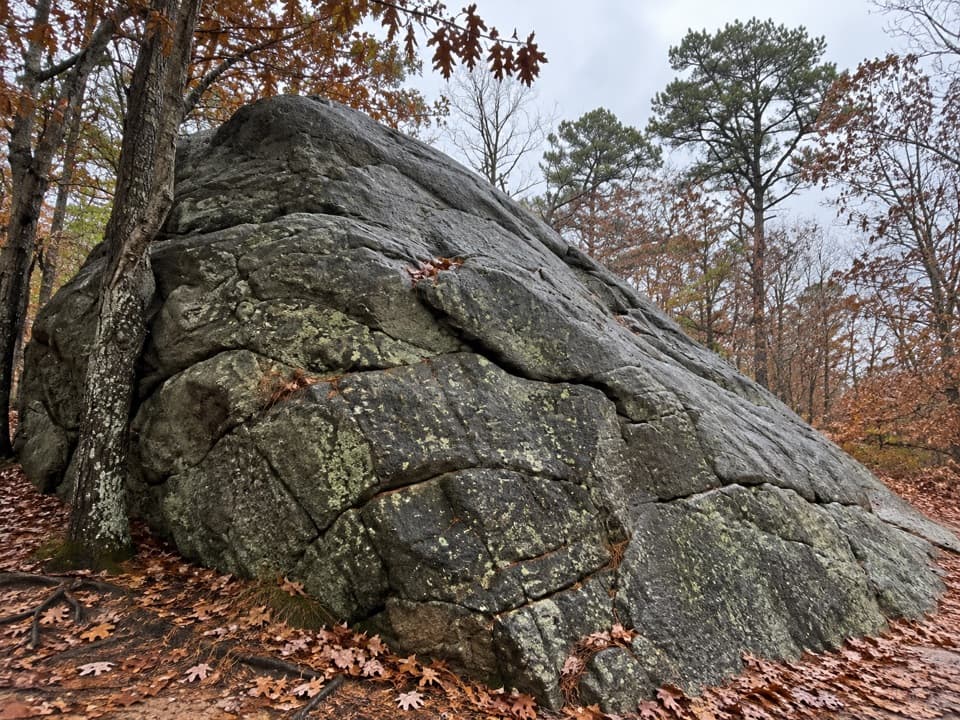 Sight · 0.2 mi awayDoane RockA giant ice-age erratic with an accessible woodland loop nearby.
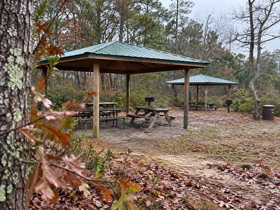 Picnic area · 0.3 mi awayDoane Rock Picnic AreaA covered picnic stop with an easy forest loop next door.
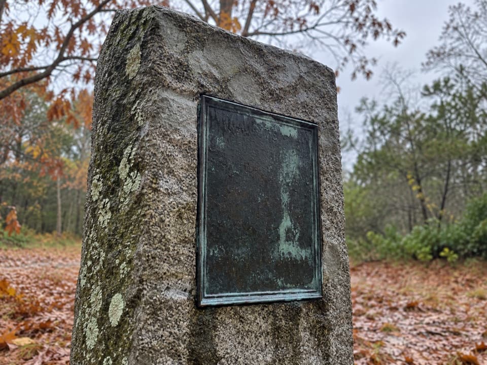 Sight · 0.4 mi awayDoane Homestead SiteA vanished 17th-century home left unusually vivid archaeological clues.
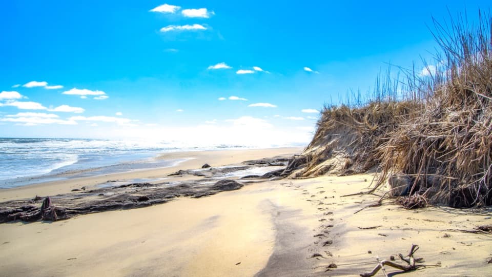 Beach · 0.7 mi awayCoast Guard BeachOpen Atlantic sand, where the Great Beach begins.
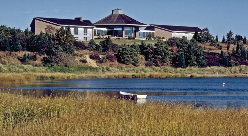 Visitor center · 0.9 mi awaySalt Pond Visitor CenterRanger help, local history, and a view over Salt Pond.
 Sight · 0.9 mi awayThree Sisters LighthousesThree small towers with a story that wandered inland.
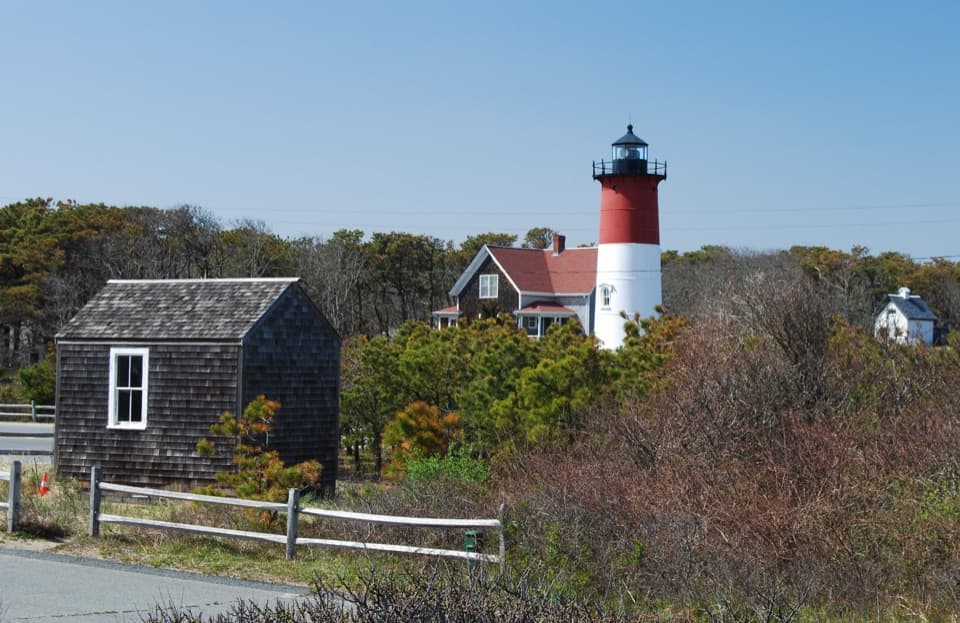 Sight · 1 mi awayFrench Cable HutA small hut marks Cape Cod's part in the French cable story.
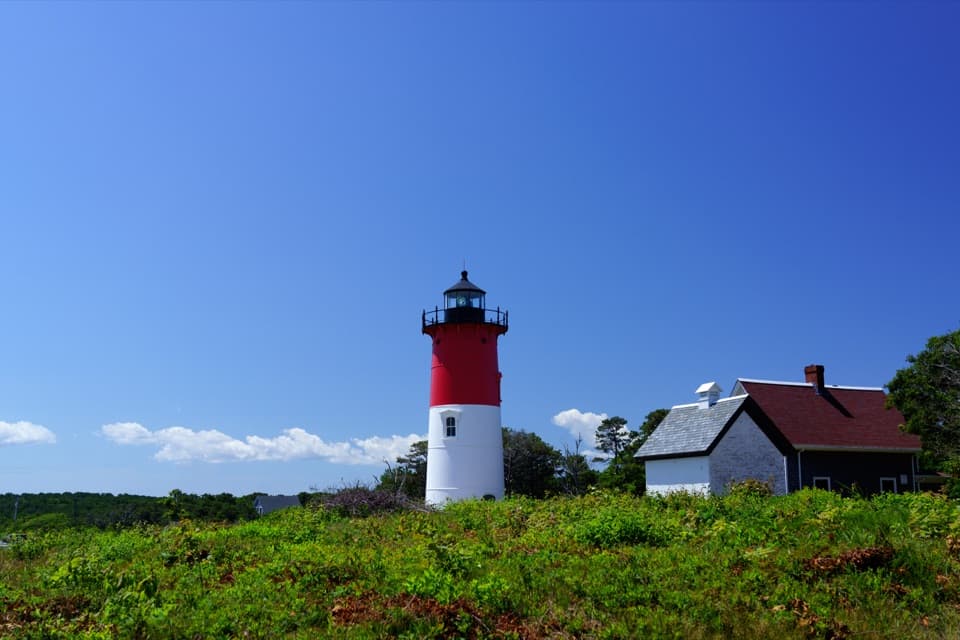 Sight · 1 mi awayNauset LightThe red-and-white tower printed on the Cape Cod Chips bag.
Parkwolf’s Cape Cod ranking

The audio tour guide for the drive, plus offline maps, trails, and wildlife heatmaps for when the signal drops.