Red Maple Swamp Trail in Cape Cod National Seashore

#7 of 32 trails in Cape Cod

Cape Cod National Seashore, MA

Red Maple Swamp Trail

A short boardwalk beneath red maples, brightest in fall.

Photo: National Park Service
Length
0.8mi
Time
30min
Elevation
Flat
Difficulty
Easy
  • No dogs
  • High point 36 ft

Hear the audio tour

Red Maple Swamp Trail

Overview

About Red Maple Swamp Trail

Why go

  • Curved boardwalk through a shady red maple canopy, with vivid fall color.
  • A quick, low-effort way to see the wetland.

Heads up

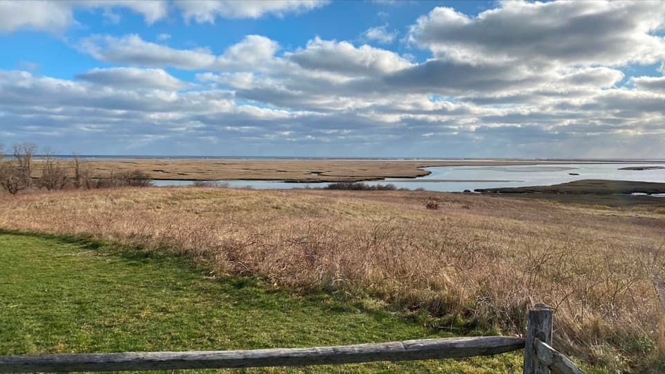
  • The swamp stays enclosed by trees; Fort Hill has the open marsh views.

Map & elevation

The route

Loading the Cape Cod map
Full map
Elevation8–36 ft
TrailheadHemenway Road entrance at Hemenway Landing41.82245, -69.96528
Keep this map with you offline in the Parkwolf app

Plan your hike

Before you go

Parking

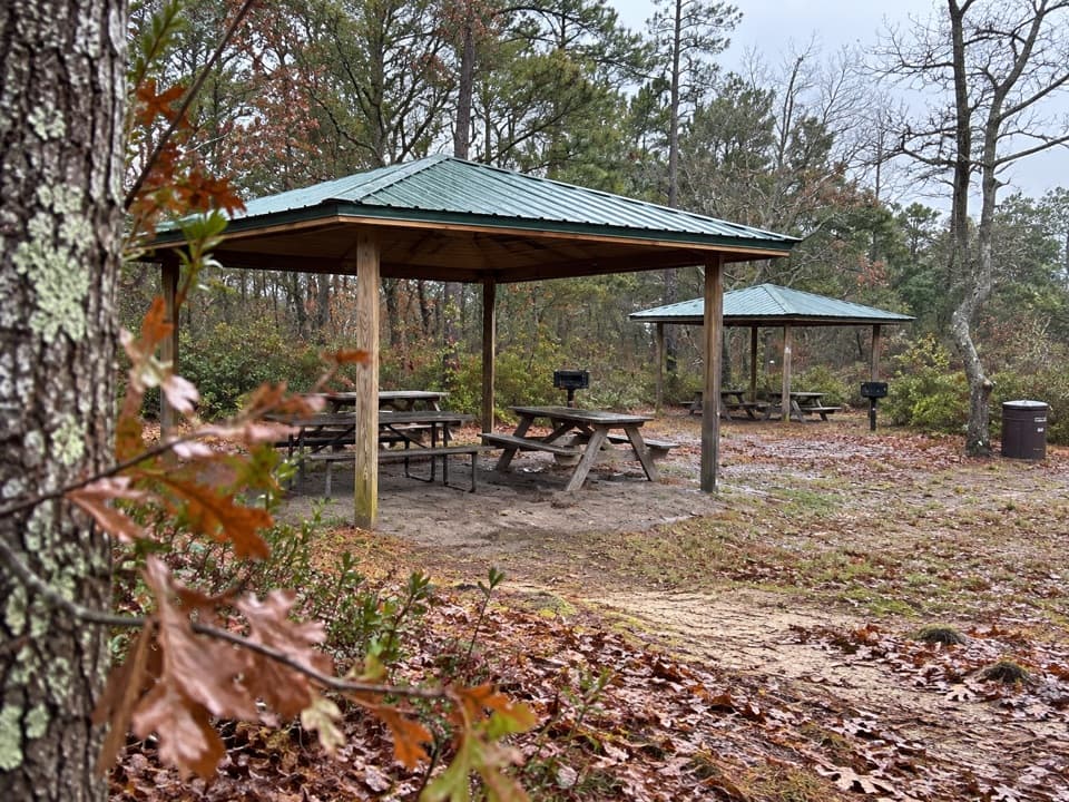
From Route 6, turn onto Hemenway Road and follow it to the lot beside the trail entrance and seasonal restroom. Hemenway Landing is town-managed; during Eastham’s summer parking season, a town beach sticker or day pass is required. Day passes are not sold at Hemenway Landing. Check the town’s current season dates before you go.

Safety

The Fort Hill-side access has steps down to the boardwalk, so the full route is not step-free. Dogs are not allowed. Summer parking at Hemenway Landing requires an Eastham beach sticker or day pass; day passes are not sold at this lot.

3 active Cape Cod alerts

  • CautionSharks active in park waters through OctoberSharks are active in Cape Cod National Seashore waters through October; heed all beach guidelines and signage before entering the water. Check current park conditions before entering the water.Official details
  • CautionHarmful algal bloom advisories at Snows and Slough PondsDo not swim in or swallow water at Snows Pond or Slough Pond; the Town of Truro currently lists harmful algal bloom advisories at both ponds.Official details
See all 3 alerts
A park ranger sits on a dash-mounted phone, talking, as Parkwolf’s Tour Guide plays “Army Cutworm Moths: A Grizzly Bear Buffet” on Grand Loop Road below Dunraven Pass in Yellowstone
Parkwolf Tour GuideThe highest, rockiest slopes around here are a summer buffet for grizzly bears.

Cape Cod Tour Guide

Your drive to Red Maple Swamp Trail, narrated.

Parkwolf is a GPS audio tour guide for Cape Cod National Seashore. As you drive, it chimes in with what’s ahead: hidden gems, upcoming stops, history, geology, and wildlife, right through your car’s speakers.

See the Cape Cod audio tour

Recorded for this trailhead

Red Maple Swamp Trail
0:00 / 0:26
“You're nearing the Red Maple Swamp trail entrance, a good choice for an enclosed woodland-and-wetland walk.”

Plays as you drive up to this trailhead in the Parkwolf Cape Cod Tour Guide.

More stories near here in the app

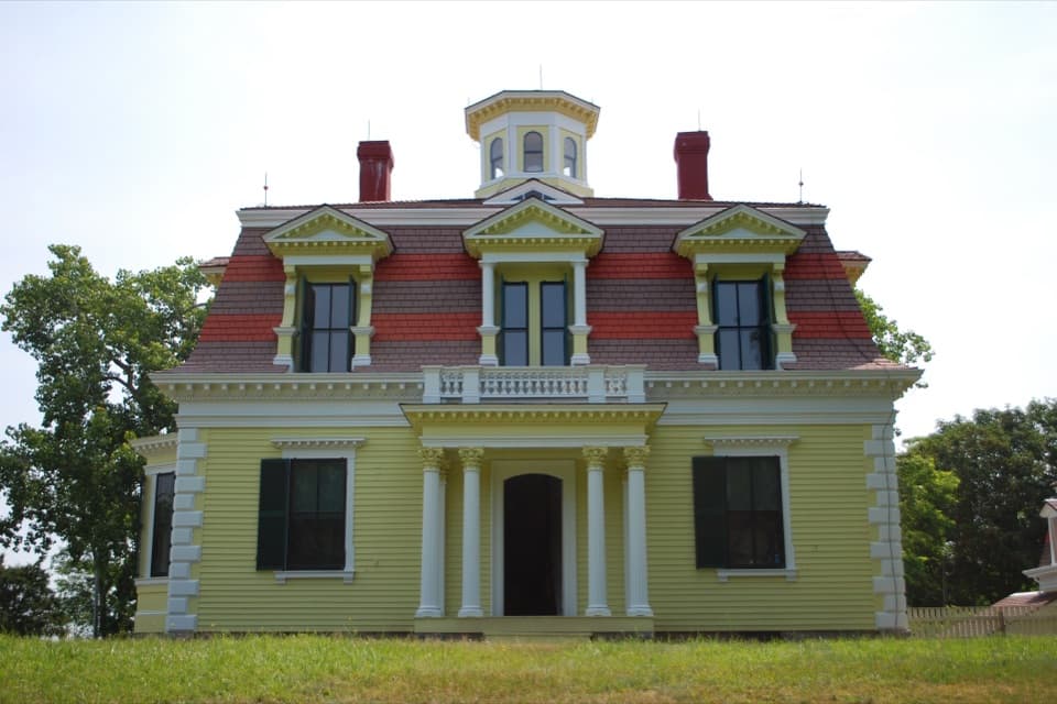
  • Fort Hill and Captain Penniman House
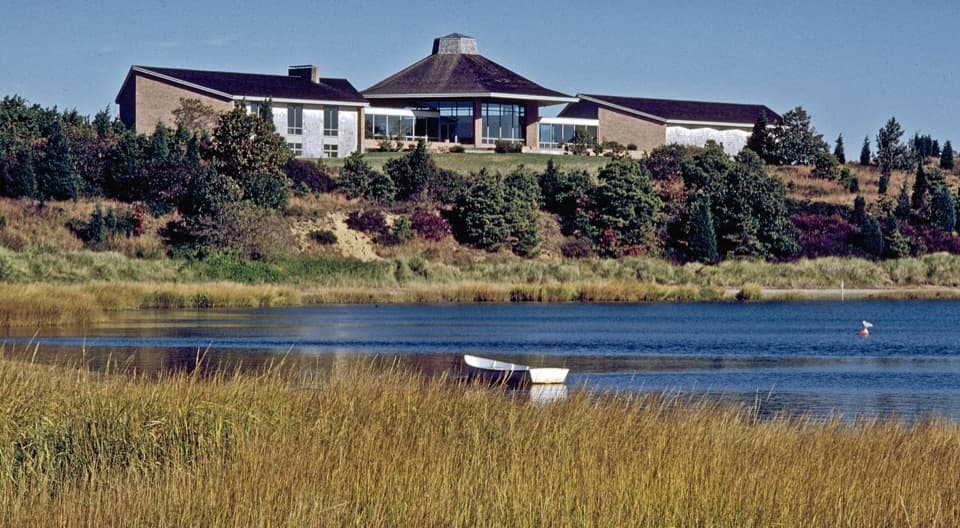
  • Salt Pond Visitor Center
  • Coast Guard Beach via Little Creek
  • Doane Rock and Picnic Area
  • 56 audio storiesacross Cape Cod’s roads, triggered by GPS as you drive
  • Wildlife heatmapsfor Gray Seal, Coyote, Red Fox, and 13 more
  • Works offlinemaps, 32 trails, 55 places, and audio download before you lose signal
  • CarPlay readysimple controls built for the drive
★★★★★
“Fantastic app with many points of information… It’s great to just turn on while you’re driving and it gives you an audio tour of the national Park. We love it!!!!”
JMJamesApp Store review
Download Parkwolf on the App StoreGet Parkwolf on Google Play

4.7 from 8,600+ ratings

Trail guide

Hiking Red Maple Swamp Trail

The short walkRed Maple Swamp Trail is an easy out-and-back from Hemenway Road to its Fort Hill connection,…

Red Maple Swamp Trail is an easy out-and-back from Hemenway Road to its Fort Hill connection, with boardwalk sections threading through a red maple wetland. The park lists 0.8 mile round trip and 20–30 minutes. The mapped line follows the named swamp route to the Fort Hill junction; it is about 0.47 mile one way, so walking that whole line out and back comes out closer to 0.9 mile. The broader Fort Hill walk is an optional extension. This is a good quick change from the Cape’s beaches and dunes, but it’s mostly an enclosed woods-and-wetland walk rather than a big open view.

Under the maplesStart at the Hemenway Road lot and follow the trail into the swamp.

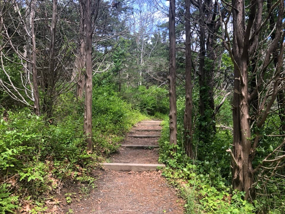
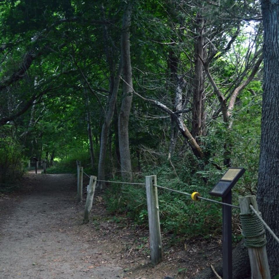
Start at the Hemenway Road lot and follow the trail into the swamp. Raised boardwalk bends beneath the canopy and keeps the walk on the wetland’s surface; the route is nearly level, with only a small rise toward Fort Hill. The tree cover makes this a shaded walk in summer. In fall, red maple leaves turn orange and red, giving the swamp its strongest color. If you start from the Fort Hill side, there are steps down to the trail, so don’t assume the whole route is step-free.

A swamp still changingBefore the seashore was established in 1961, residents dug drainage ditches through the swamp…

Before the seashore was established in 1961, residents dug drainage ditches through the swamp to cut down on mosquitoes. The ditches dried the wetland soils and encouraged dense shrubs underneath the maples. Closing them now could flood neighboring private property, so the wetland can’t simply be returned to its earlier water pattern. In 2023, researchers cleared small plots beside the trail to study red maple regeneration. Seedlings came up, and some reached six inches before going dormant for winter; you can see the study plots from the trail edge.

The boardwalk’s second lifeThe trail was first developed in 1964, then closed in 2010 when its boardwalk had deteriorated.

The trail was first developed in 1964, then closed in 2010 when its boardwalk had deteriorated. A repair project rebuilt the curved boardwalk and finished a final spur in 2017; the trail reopened in 2018 with help from local supporters. That curved path is still the walk’s defining feature: look back along it through the trees rather than expecting a wide overlook from the swamp itself.

Getting thereFrom Route 6, turn onto Hemenway Road and follow it to the lot beside the trail entrance and…

From Route 6, turn onto Hemenway Road and follow it to the lot beside the trail entrance and seasonal restrooms. Hemenway Landing is town-managed. During Eastham’s summer parking season, a town beach sticker or day pass is required; day passes aren’t sold at Hemenway Landing, so arrange one elsewhere before you go. The lot’s capacity wasn’t established. Dogs aren’t allowed on the trail.
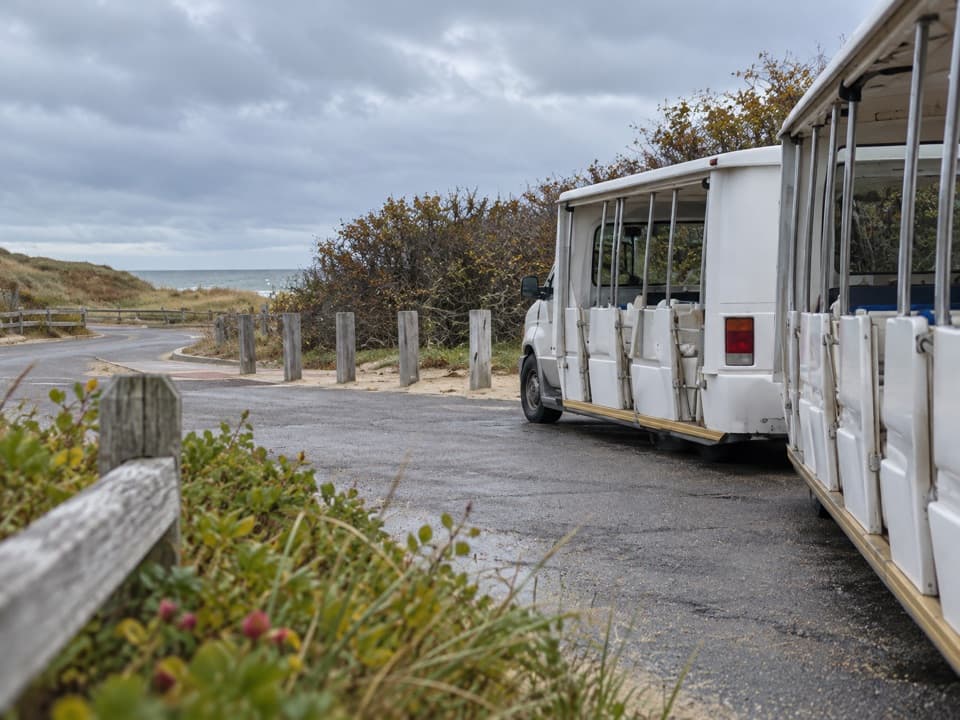
Add Fort Hill for the viewAt either end, you can connect with the separate Fort Hill Trail.

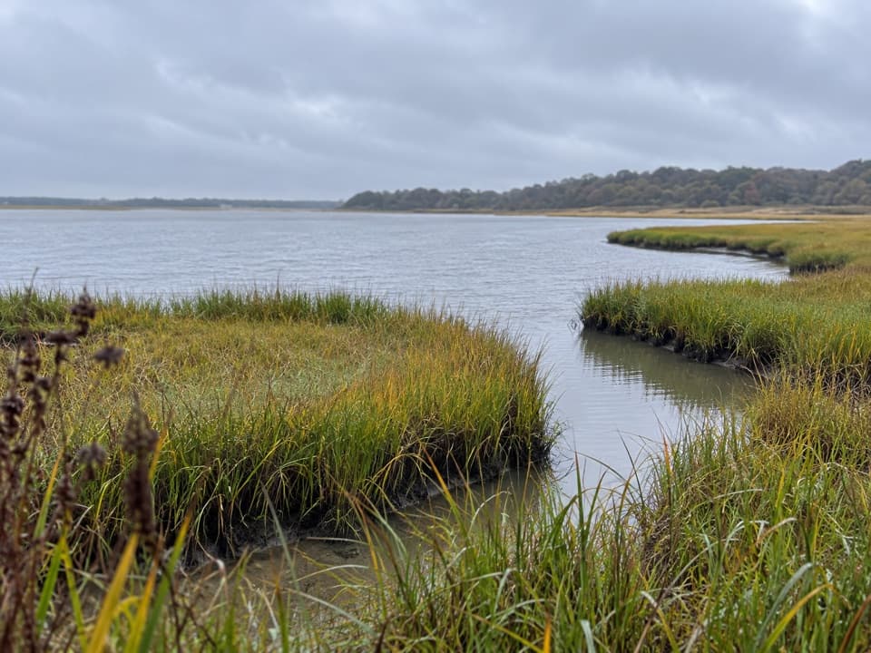
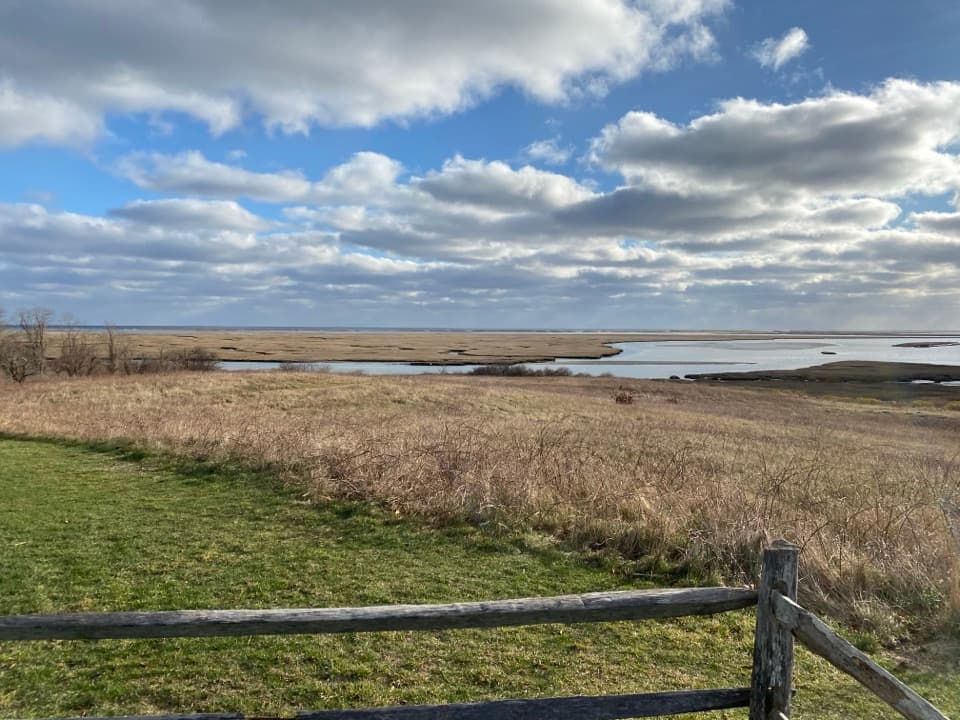
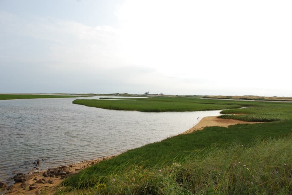
At either end, you can connect with the separate Fort Hill Trail. Its roughly one-mile loop crosses open fields and gives the wide Nauset Marsh views the swamp walk doesn’t. Add it if you want a longer outing and open scenery; keep to the short out-and-back if the boardwalk and red maple canopy are the point.

Wildlife

Wildlife in Cape Cod

All Cape Cod wildlife maps

Sighting maps show where each species has been reported across Cape Cod. Wildlife moves, so no sighting is guaranteed.

Keep exploring

Near Red Maple Swamp Trail

See it all on the map

Trails that start nearby

Places near the trailhead

Parkwolf’s Cape Cod ranking

Top-rated trails in Cape Cod

All 32 trails
  1. 1Great Island TrailModerate · 3.9 mi
  2. 2Fort Hill TrailEasy · 1 mi
  3. 3Atlantic White Cedar Swamp TrailModerate · 1.2 mi
  4. 4Nauset Marsh TrailEasy · 1.3 mi
  5. 5Hatches Harbor TrailModerate · 3.5 mi
  6. 6Long Point Lighthouse TrailModerate · 5.5 mi

Take Parkwolf to Cape Cod.

The audio tour guide for the drive, plus offline maps, trails, and wildlife heatmaps for when the signal drops.

4.7 from 8,600+ ratings

Download Parkwolf on the App StoreGet Parkwolf on Google Play