Parking
Start at the Salt Pond Visitor Center parking area; the paved trail access is at the far-left side of the lot. Doane Rock Picnic Area and Coast Guard Beach are additional access points; Doane parking is limited to two hours.
Cape Cod National Seashore, MA
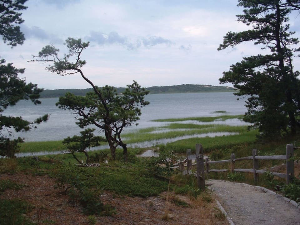
A rolling paved path through woods to Coast Guard Beach.
Overview
Map & elevation
Plan your hike

The highest, rockiest slopes around here are a summer buffet for grizzly bears.
Cape Cod Tour Guide
Parkwolf is a GPS audio tour guide for Cape Cod National Seashore. As you drive, it chimes in with what’s ahead: hidden gems, upcoming stops, history, geology, and wildlife, right through your car’s speakers.
Recorded for this trailhead
Salt Pond Visitor Center“Salt Pond Visitor Center is up ahead, a useful stop if you're still choosing what to do today. Ask a ranger for help, then take in the view across Salt Pond and Nauset Marsh from the lobby.”
Plays as you drive up to this trailhead in the Parkwolf Cape Cod Tour Guide.
More stories near here in the app
“Fantastic app with many points of information… It’s great to just turn on while you’re driving and it gives you an audio tour of the national Park. We love it!!!!”


Trail guide
Nauset Bike Trail is a paved, 2-mile point-to-point route from the Salt Pond Visitor Center parking area to Coast Guard Beach. The shared path winds through coastal woods, rises and dips over small hills, and crosses a boardwalk beside Nauset Bay. It works as a bike ride or a relaxed walk to the shore, with a marsh view to break up the pavement.
The connected path measures about 2 miles one way, longer than the 1.6-mile figure you may see in published descriptions. Allow about 1 to 1.5 hours one way on foot if you want a pause at the bay. It isn't a loop: plan for about 4 miles total if you're walking back to Salt Pond, or arrange a pickup before heading out. From the visitor-center lot, use the paved path at the far-left side; starting behind the building adds extra steps.
Expect a paved, winding route through trees rather than a straight bike lane. Several rolling rises make it more work than the short mileage suggests, and roots have made parts of the pavement bumpy. Bikes use the path in both directions, so keep right and pay attention around bends; riders are expected to yield to pedestrians.
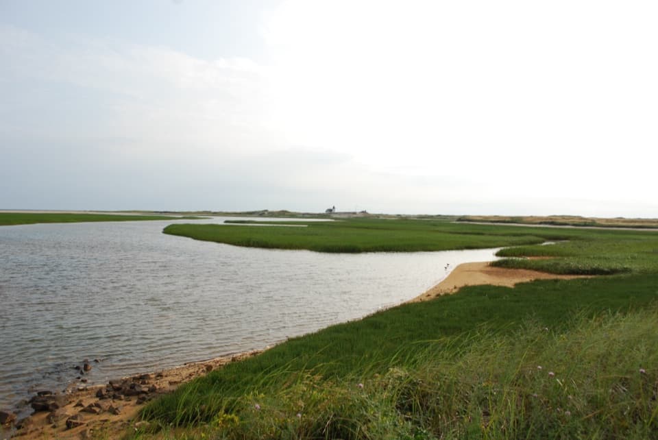
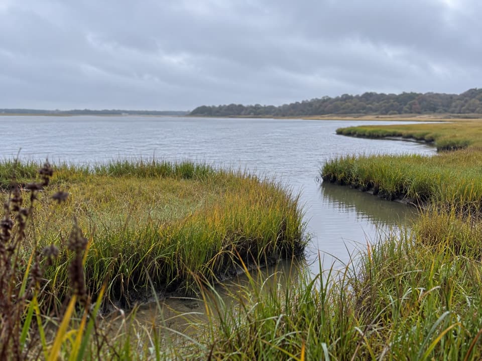
The wooden boardwalk beside Nauset Bay is the best place to pause. Marsh grass frames the tidal water and wooded shore; put the channel or grass in the foreground if you're taking a photo, so the picture reads as a marsh rather than a sheet of water. The route continues to Coast Guard Beach at its eastern end.
Leashed dogs may use the route from November 1 through April 30. They're not permitted on Nauset Bike Trail from May 1 through October 31, so don't assume the beach endpoint is dog access year-round.
Wildlife
 459 sightingsGray SealMost seen around 11 AMSighting map
 84 sightingsCoyoteMost seen around 6 AMSighting map
 297 sightingsRed FoxMost seen around 7 PMSighting map
 49 sightingsWhite-tailed DeerMost seen around 6 AMSighting map
 263 sightingsHorseshoe CrabMost seen around 8 PMSighting map
 73 sightingsGreat Blue HeronMost seen around 6 PMSighting map
Sighting maps show where each species has been reported across Cape Cod. Wildlife moves, so no sighting is guaranteed.
Keep exploring
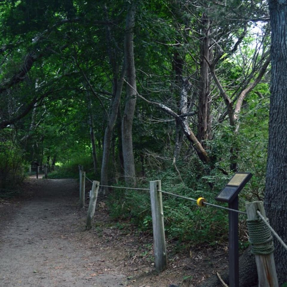 EasyButtonbush Trail0.3 mi · 15 min · 0.2 mi awayBraille, guide ropes and a pond bridge pack into 0.3 miles.
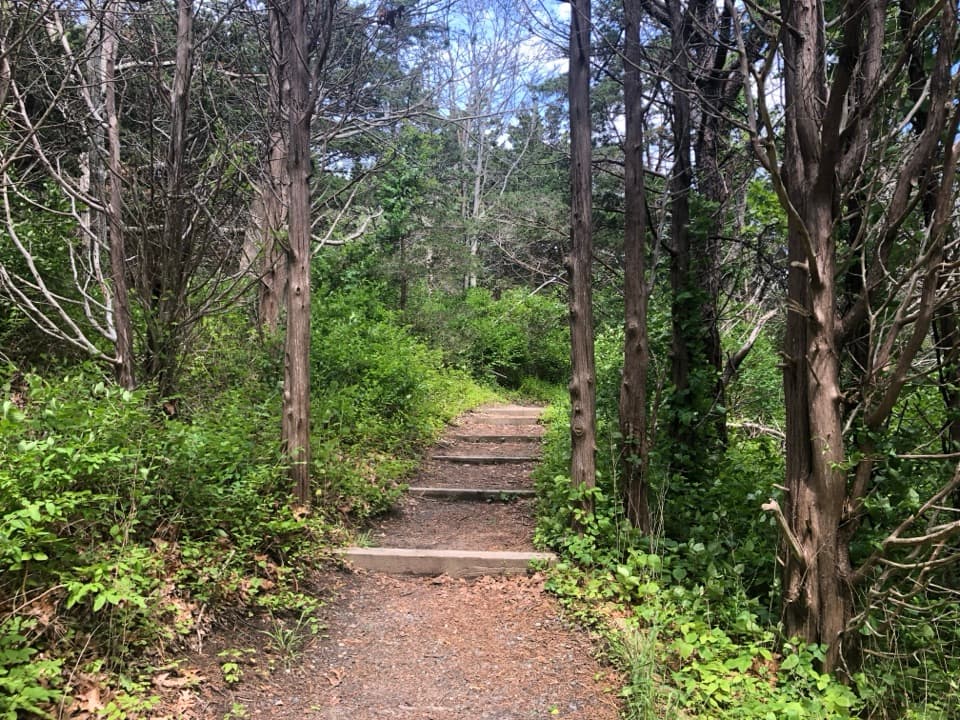 EasyNauset Marsh Trail1.3 mi · 1 hr · 0.2 mi awaySalt Pond, tidal marsh and a short loop through recovering forest
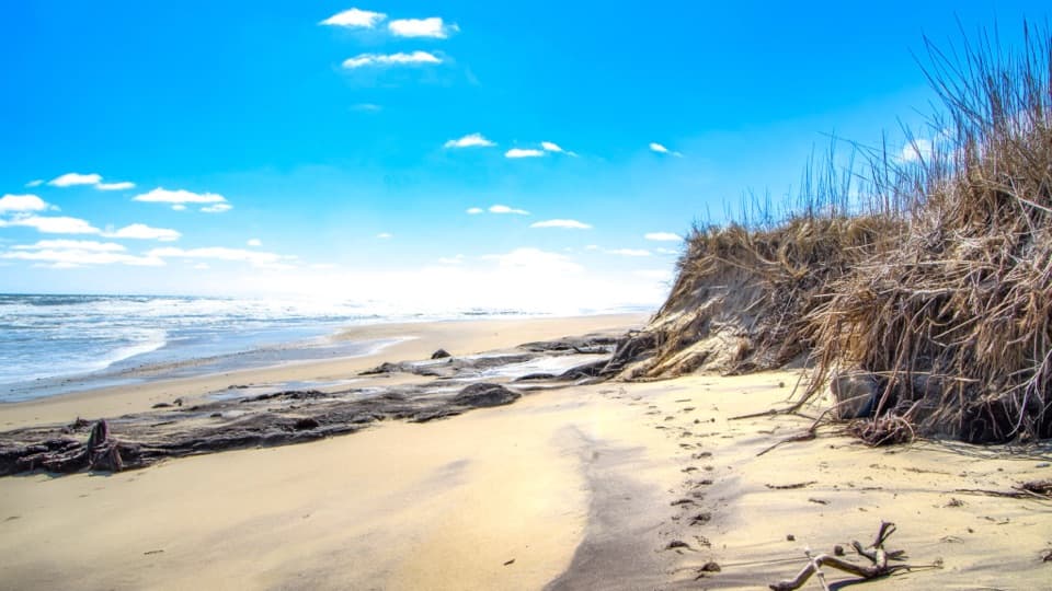 EasyCoast Guard Beach Trail4 mi · 2.2 hr · 0.2 mi awaySalt marsh footpath to a wide Cape Cod beach.
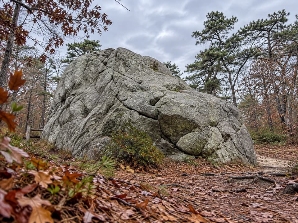 EasyDoane Trail0.6 mi · 30 min · 1 mi awayA short paved loop past a glacial boulder at the start.
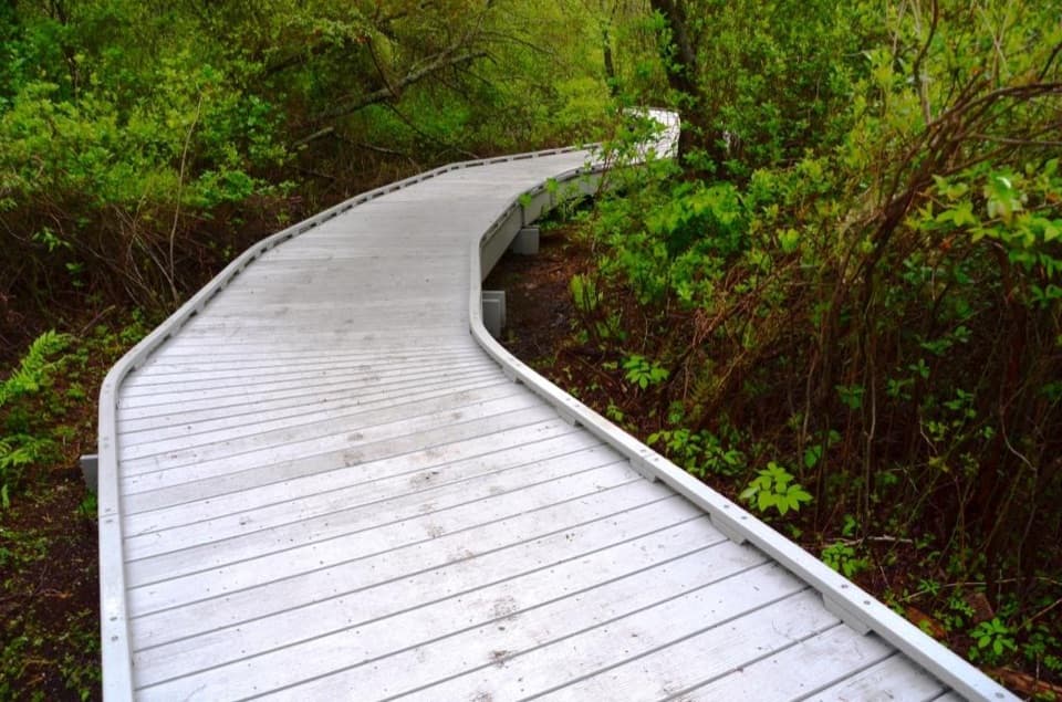 EasyRed Maple Swamp Trail0.8 mi · 30 min · 1.2 mi awayA short boardwalk beneath red maples, brightest in fall.
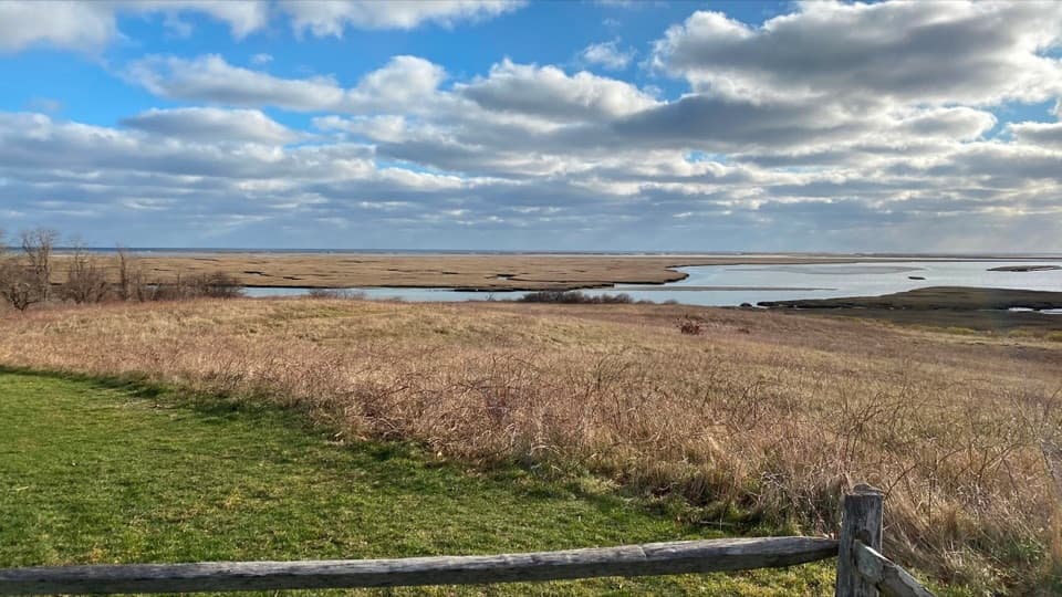 EasyFort Hill Trail1 mi · 45 min · 1.4 mi awayA short field loop with marsh views and a 20-ton story.
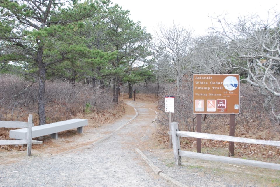 ModerateAtlantic White Cedar Swamp Trail1.2 mi · 1 hr · 5.2 mi awayBoardwalk through cedar swamp; half a mile of soft sand after.
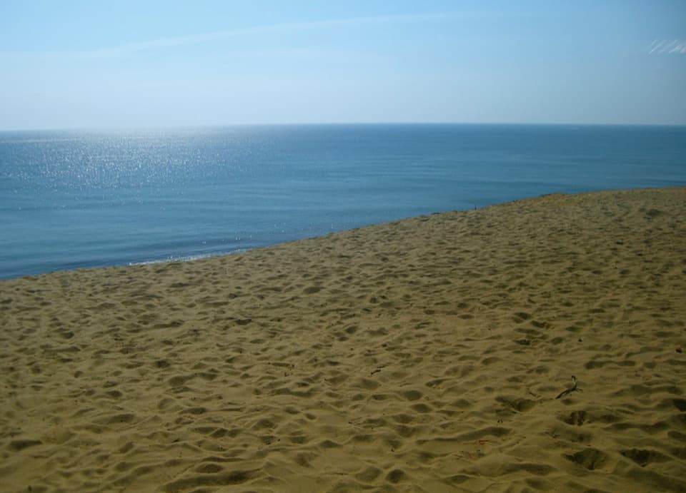 ModerateDuck Pond, Great Pond and White Crest Beach Loop5.9 mi · 2.5 hr · 7.1 mi awayTwo kettle ponds and a beach in one sandy loop.
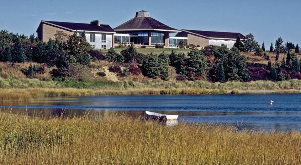 Visitor center · 0.1 mi awaySalt Pond Visitor CenterRanger help, local history, and a view over Salt Pond.
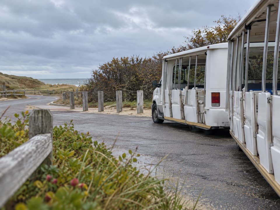 Entrance station · 1 mi awayLittle Creek Beach Shuttle and Fee StationSettle fees and catch the Coast Guard Beach shuttle here.
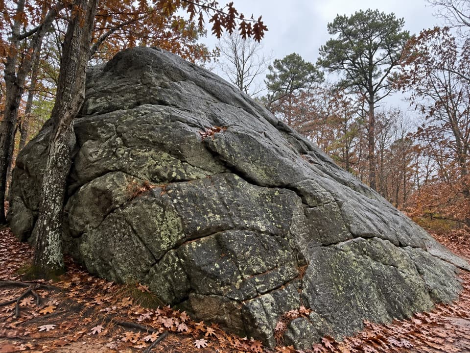 Sight · 1 mi awayDoane RockA giant ice-age erratic with an accessible woodland loop nearby.
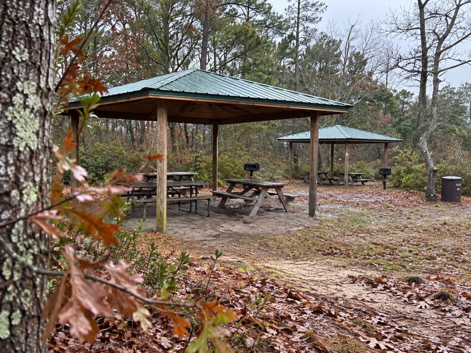 Picnic area · 1.1 mi awayDoane Rock Picnic AreaA covered picnic stop with an easy forest loop next door.
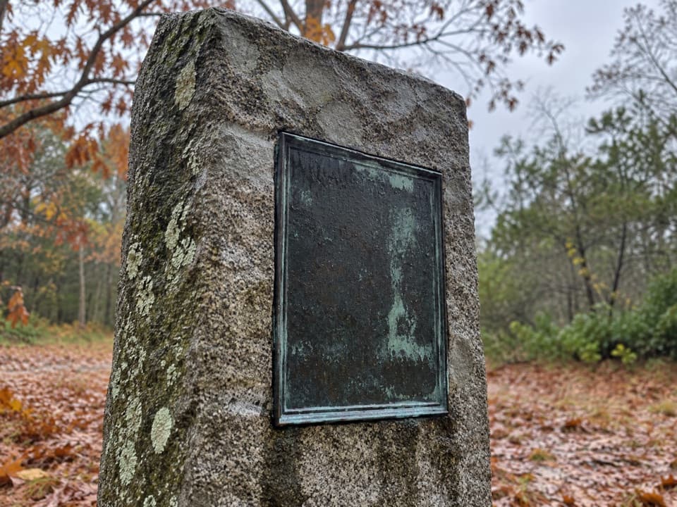 Sight · 1.1 mi awayDoane Homestead SiteA vanished 17th-century home left unusually vivid archaeological clues.
 Sight · 1.2 mi awaySkiff Hill OverlookA 20-ton sharpening stone above the marsh it once stood in.
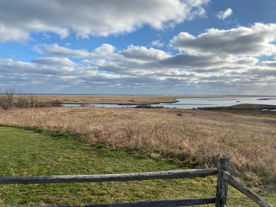 Sight · 1.4 mi awayFort HillA short loop across open fields to wide Nauset Marsh views.
 Sight · 1.4 mi awayCaptain Penniman HouseA whaling captain built this house to watch ships from the cupola.
Parkwolf’s Cape Cod ranking

The audio tour guide for the drive, plus offline maps, trails, and wildlife heatmaps for when the signal drops.