Parking
Fort Hill lower parking area, 70 Fort Hill Road, opposite Captain Penniman House. The upper lot and Hemenway Landing are additional access points; seasonal restrooms are near Hemenway Landing.
#2 of 32 trails in Cape Cod
Cape Cod National Seashore, MA
A short field loop with marsh views and a 20-ton story.
Overview
Map & elevation
Plan your hike

The highest, rockiest slopes around here are a summer buffet for grizzly bears.
Cape Cod Tour Guide
Parkwolf is a GPS audio tour guide for Cape Cod National Seashore. As you drive, it chimes in with what’s ahead: hidden gems, upcoming stops, history, geology, and wildlife, right through your car’s speakers.
See the Cape Cod audio tourRecorded for this trailhead
Fort Hill and Captain Penniman House“Fort Hill is coming up, with open fields above Nauset Marsh and a view toward the ocean. For a quick look, use the upper clearing; you don't have to walk the full loop to enjoy the marsh.”
Plays as you drive up to this trailhead in the Parkwolf Cape Cod Tour Guide.
More stories near here in the app
“Fantastic app with many points of information… It’s great to just turn on while you’re driving and it gives you an audio tour of the national Park. We love it!!!!”


Trail guide
Fort Hill Trail is an easy one-mile loop through open fields above Nauset Marsh. It usually takes 30 to 45 minutes, with only about 40 feet of elevation change. Go for the open marsh view and the unusual stone landmark, not a strenuous climb or a long coastal trek. A slower pace suits this walk: birding and the views are most of the point.
From the lower Fort Hill parking area, the route bends through open ground and circles the low rise. The footing is mostly solid, with a few log steps on small slopes. One road crossing links sections of trail, so pause and check traffic before crossing. Smaller paths lead toward the marsh; stay on the signed circuit, since low side paths can be tide-sensitive and are not part of the one-mile loop.
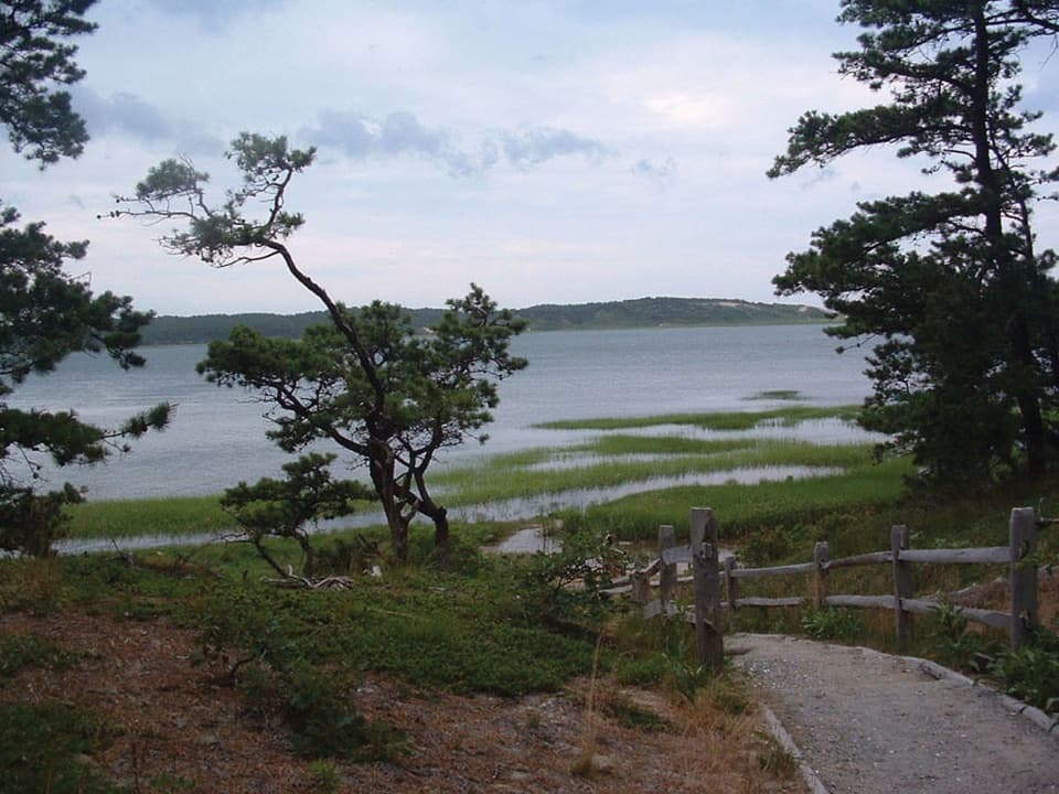
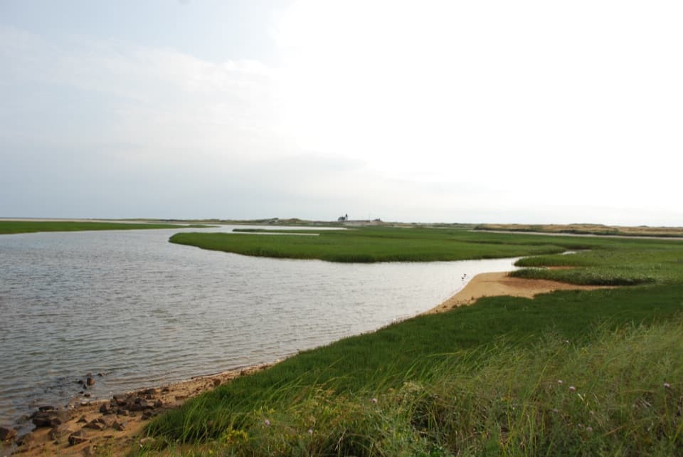
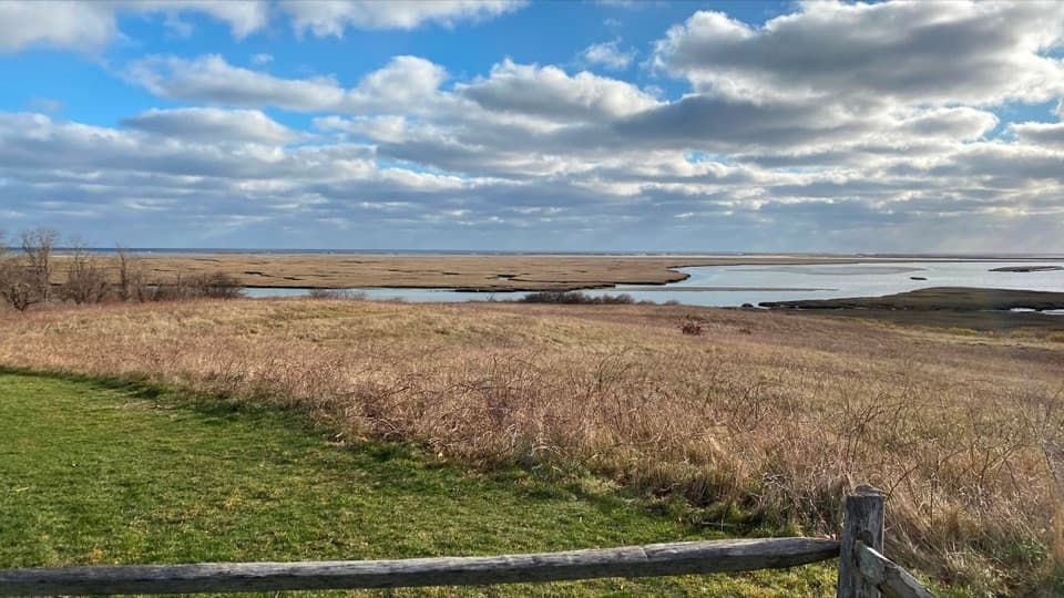
The broadest views open along the field edge above Nauset Marsh. Channels, salt grass and low marsh islands fill the foreground, with wider water beyond. Give yourself time to look around instead of treating this as a quick lap. For a phone photo, keep some grass or the slope in the frame with the channels beyond it; a close crop of the water loses the sense of being up on the hill. Birding is another good reason to slow down here.
Look for the large granitic boulder on Skiff Hill. Its long curved grooves and wider smooth hollows are thought to be marks from sharpening bone tools such as harpoon heads and fishhooks, along with stone axes. The glacial boulder weighs about 20 tons. It originally sat on the marsh just south of Hemenway Landing; in September 1965 it was moved about 100 feet to Skiff Hill as the retreating shore threatened to leave it underwater. The old site is now submerged. It is a striking bit of human history on a walk that is otherwise mostly about the landscape.
The marsh and open field edges make this a rewarding slow walk for birders. Willets and other shorebirds are mentioned by visitors, and local trail information also lists egrets and osprey among possible sightings. Treat those as possibilities, not a checklist: species and activity vary with season and tide. Birds can be nearer the shore at high tide, but do not follow small cut-throughs into the marsh to get closer; some are vulnerable to being cut off by water.
Fort Hill connects to the separate Red Maple Swamp Trail, a 0.8-mile round trip with sections of boardwalk. That is a useful add-on if you want a longer outing and a more wooded, swamp setting. Keep its distance separate from the one-mile Fort Hill loop; the boardwalk belongs to the swamp trail, not the open-field circuit.
The lower parking area is at 70 Fort Hill Road, opposite Captain Penniman House. The upper lot and Hemenway Landing are also access points; seasonal restrooms are near Hemenway Landing. No reservation is required for the hike, though general park entrance fees may apply. Pets are prohibited on the Seashore's walking trails. Poison ivy and ticks are hazards to watch for.
Wildlife
 461 sightingsGray SealMost seen around 11 AMSighting map
 85 sightingsCoyoteMost seen around 6 AMSighting map
 300 sightingsRed FoxMost seen around 7 PMSighting map
 49 sightingsWhite-tailed DeerMost seen around 6 AMSighting map
 264 sightingsHorseshoe CrabMost seen around 8 PMSighting map
 74 sightingsGreat Blue HeronMost seen around 6 PMSighting map
Sighting maps show where each species has been reported across Cape Cod. Wildlife moves, so no sighting is guaranteed.
Keep exploring
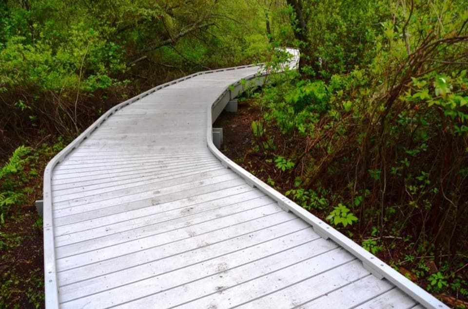 EasyRed Maple Swamp Trail0.8 mi · 30 min · 0.3 mi awayA short boardwalk beneath red maples, brightest in fall.
 EasyCoast Guard Beach Trail4 mi · 2.2 hr · 1.3 mi awaySalt marsh footpath to a wide Cape Cod beach.
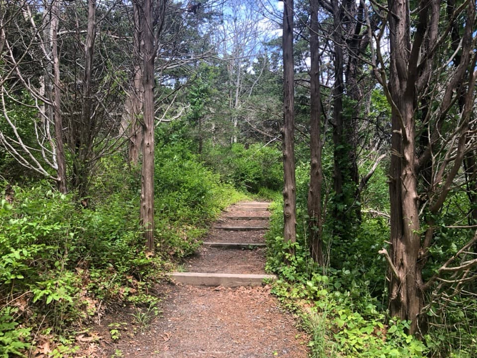 EasyNauset Marsh Trail1.3 mi · 1 hr · 1.3 mi awaySalt Pond, tidal marsh and a short loop through recovering forest
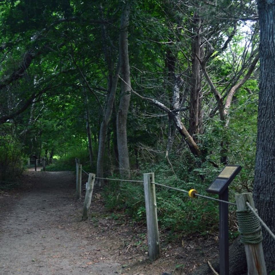 EasyButtonbush Trail0.3 mi · 15 min · 1.4 mi awayBraille, guide ropes and a pond bridge pack into 0.3 miles.
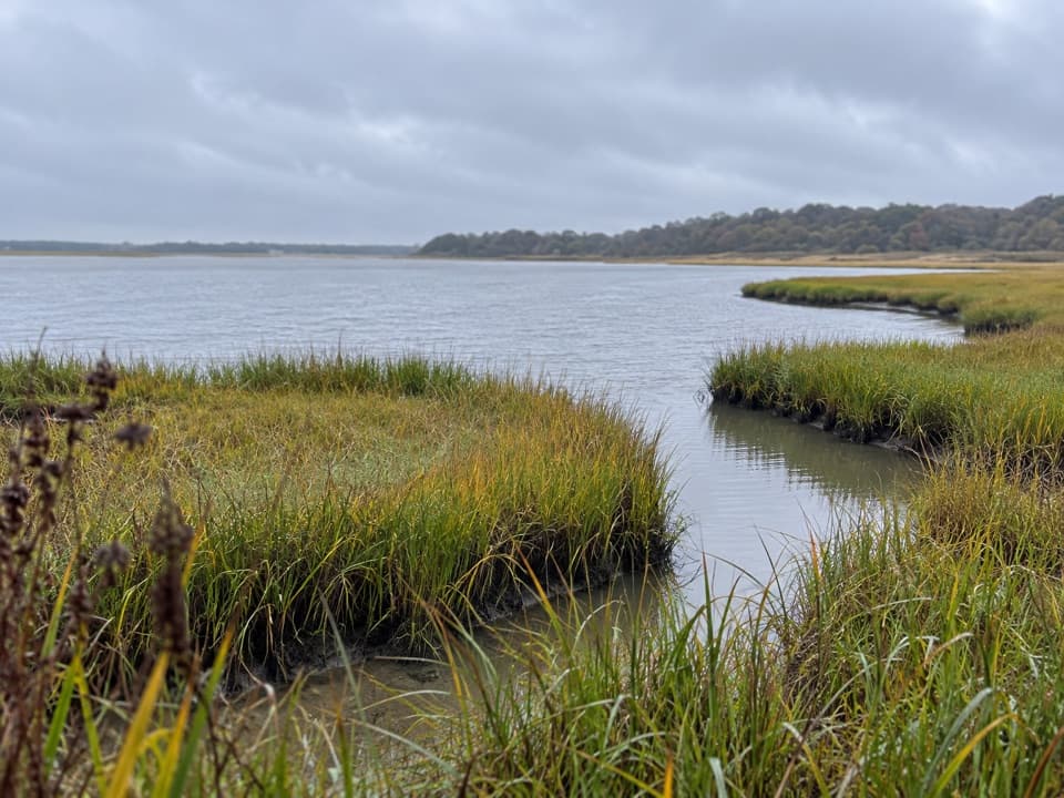 EasyNauset Bike Trail2 mi · 1.3 hr · 1.4 mi awayA rolling paved path through woods to Coast Guard Beach.
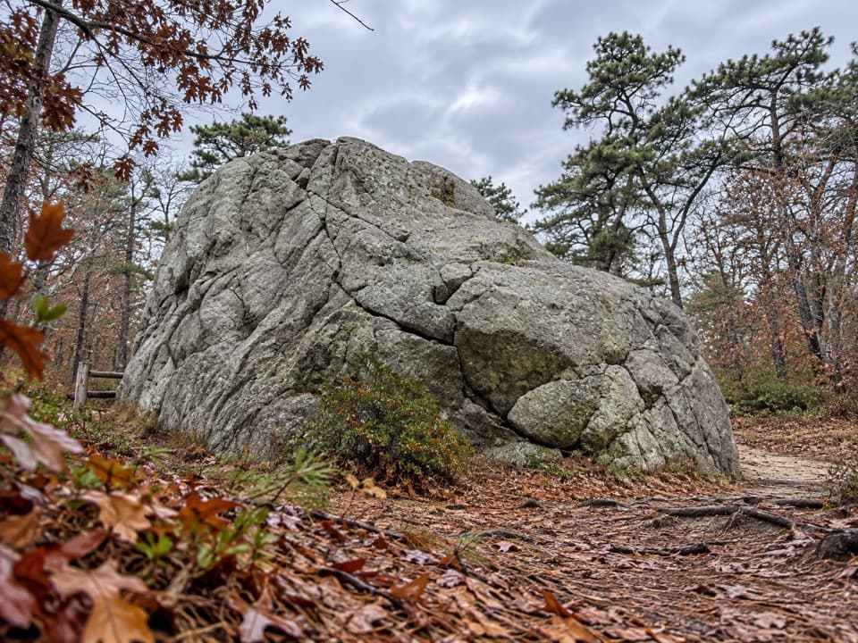 EasyDoane Trail0.6 mi · 30 min · 1.8 mi awayA short paved loop past a glacial boulder at the start.
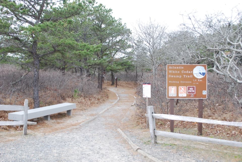 ModerateAtlantic White Cedar Swamp Trail1.2 mi · 1 hr · 6.5 mi awayBoardwalk through cedar swamp; half a mile of soft sand after.
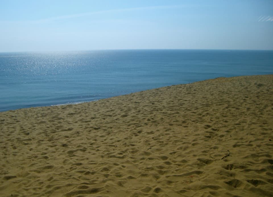 ModerateDuck Pond, Great Pond and White Crest Beach Loop5.9 mi · 2.5 hr · 8.4 mi awayTwo kettle ponds and a beach in one sandy loop.
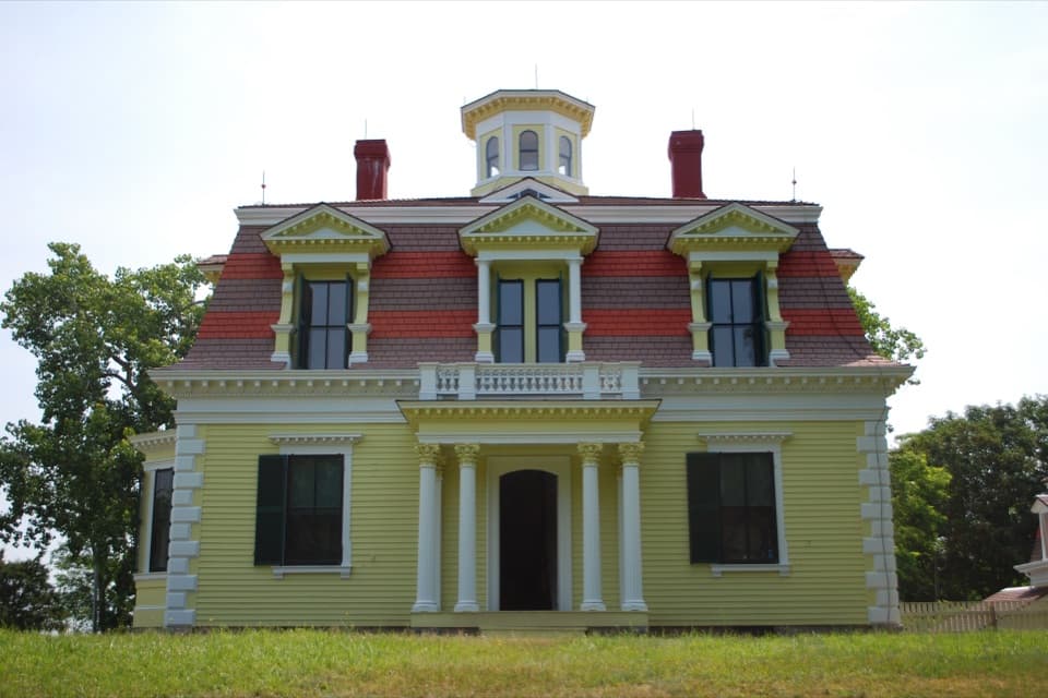 Sight · 0.1 mi awayCaptain Penniman HouseA whaling captain built this house to watch ships from the cupola.
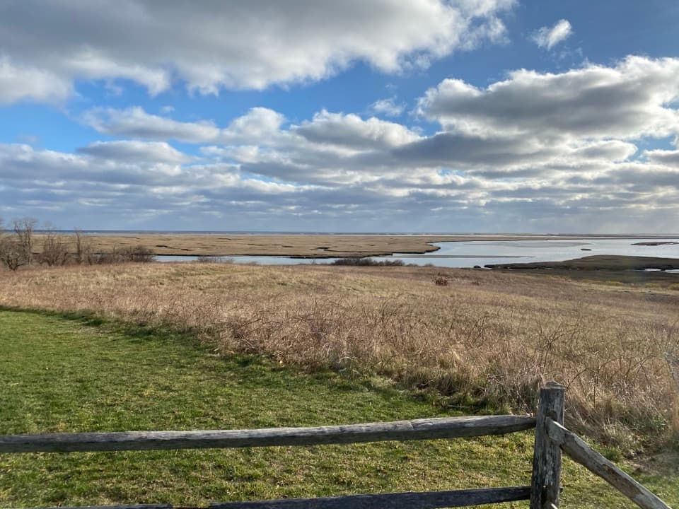 Sight · 0.1 mi awayFort HillA short loop across open fields to wide Nauset Marsh views.
 Sight · 0.3 mi awaySkiff Hill OverlookA 20-ton sharpening stone above the marsh it once stood in.
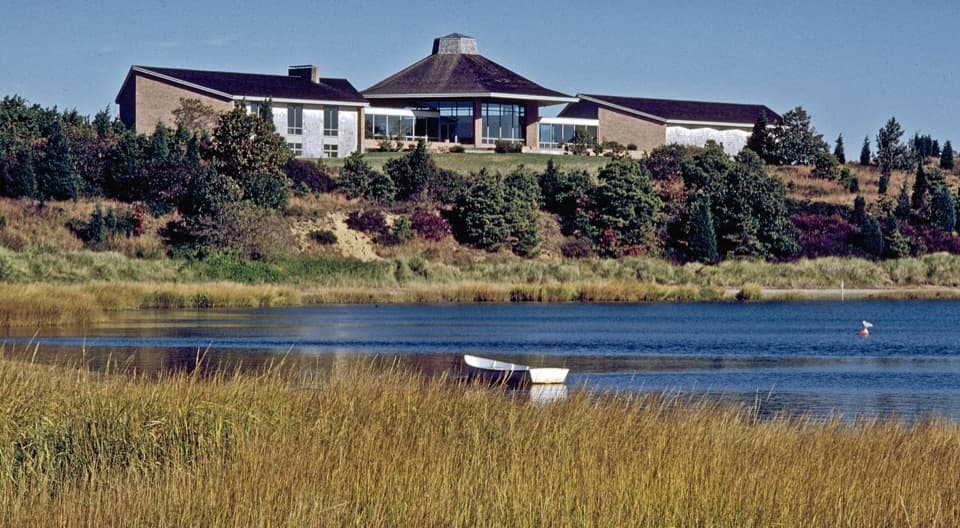 Visitor center · 1.4 mi awaySalt Pond Visitor CenterRanger help, local history, and a view over Salt Pond.
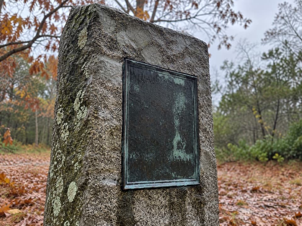 Sight · 1.7 mi awayDoane Homestead SiteA vanished 17th-century home left unusually vivid archaeological clues.
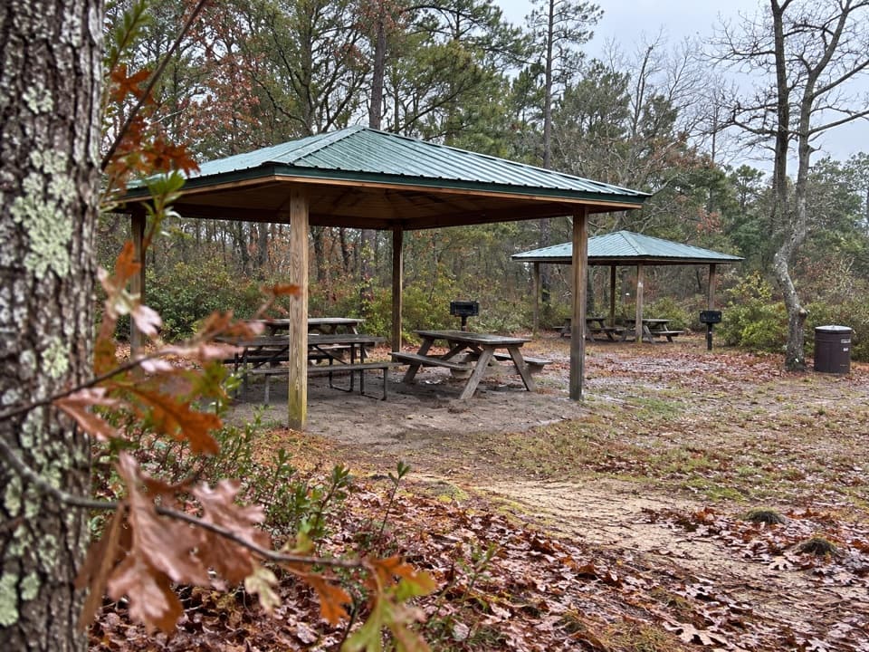 Picnic area · 1.8 mi awayDoane Rock Picnic AreaA covered picnic stop with an easy forest loop next door.
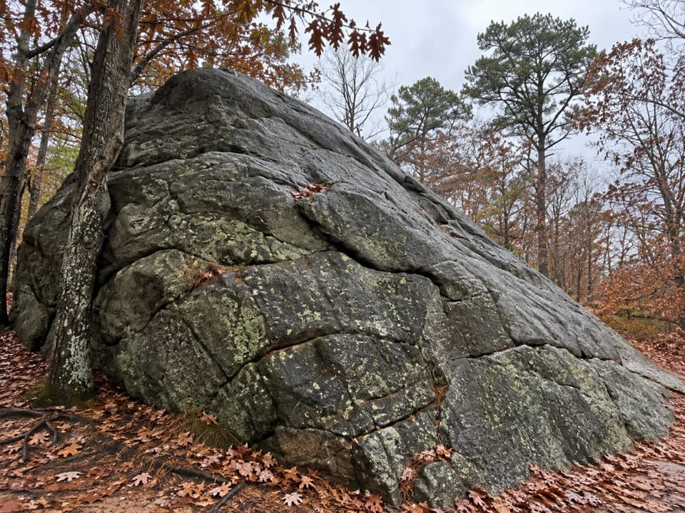 Sight · 1.8 mi awayDoane RockA giant ice-age erratic with an accessible woodland loop nearby.
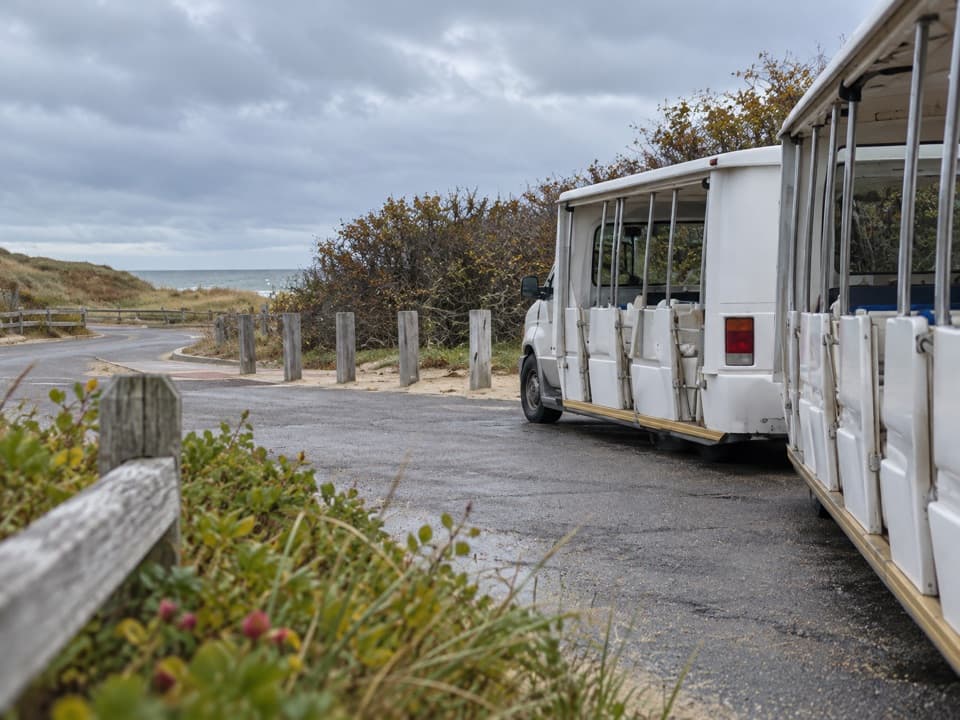 Entrance station · 1.9 mi awayLittle Creek Beach Shuttle and Fee StationSettle fees and catch the Coast Guard Beach shuttle here.
Parkwolf’s Cape Cod ranking

The audio tour guide for the drive, plus offline maps, trails, and wildlife heatmaps for when the signal drops.