Parking
Start at Salt Pond Visitor Center, 50 Nauset Road, Eastham. The trail begins beside the amphitheater; use the visitor-center lot, where restrooms are available. The Coast Guard Beach lot is a separate access with seasonal vehicle limits.
Cape Cod National Seashore, MA
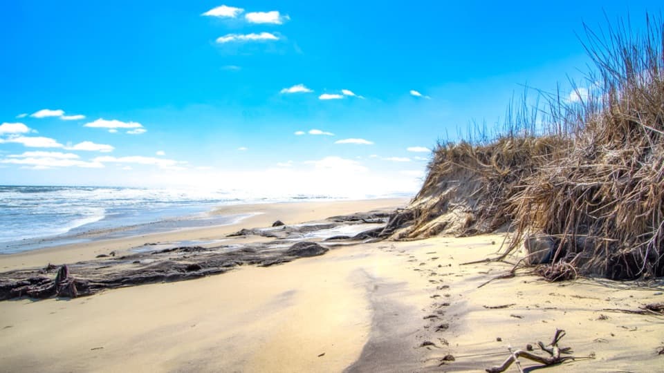
Salt marsh footpath to a wide Cape Cod beach.
Overview
Map & elevation
Plan your hike

The highest, rockiest slopes around here are a summer buffet for grizzly bears.
Cape Cod Tour Guide
Parkwolf is a GPS audio tour guide for Cape Cod National Seashore. As you drive, it chimes in with what’s ahead: hidden gems, upcoming stops, history, geology, and wildlife, right through your car’s speakers.
Recorded for this trailhead
Salt Pond Visitor Center“Salt Pond Visitor Center is up ahead, a useful stop if you're still choosing what to do today. Ask a ranger for help, then take in the view across Salt Pond and Nauset Marsh from the lobby.”
Plays as you drive up to this trailhead in the Parkwolf Cape Cod Tour Guide.
More stories near here in the app
“Fantastic app with many points of information… It’s great to just turn on while you’re driving and it gives you an audio tour of the national Park. We love it!!!!”


Trail guide
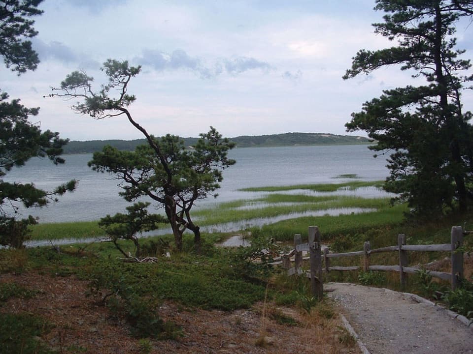
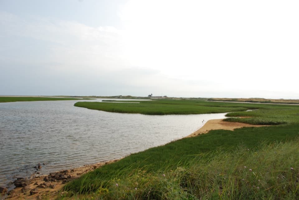
Coast Guard Beach Trail is an out-and-back from the Nauset Marsh trail access beside Salt Pond Visitor Center to the outer beach. The connected mapped walk is about 2 miles each way, 4 miles round trip; allow around two hours on foot, plus time at the shore. You get Salt Pond and Nauset Marsh, fields and recovering woods, then a broad Atlantic beach. I’d choose it when the walk there is part of the outing. If you only want beach time, use the beach access when its seasonal parking rules work for you.
The park’s 2026 visitor guide prints 1.6 miles each way, while its trail page gives conflicting extension figures. The continuous mapped route from the amphitheater to the beach measures about 2 miles one way, which is the distance used here. Expect some mileage variation around the junction with the extension.
Start beside the amphitheater and follow linked Nauset Marsh and Buttonbush paths to the signed Coast Guard Beach extension. The route skirts pond and marsh edges, crosses open fields, and enters recovering pine and oak woods. The through trail is minimally maintained. It leads toward Doane Picnic Area, then shares short stretches of the paved Doane path and Nauset Bicycle Trail before the final beach approach. Those shared bits are part of the connection; they are not the full Doane loop or bike trail. Watch for riders where the paths cross.
The park describes the Nauset Marsh path as easy, with some log steps and moderate grades. Expect dirt and uneven footing through the extension, then firmer shared paths and softer sand as you reach the shore. It is not a steep hike, but the full return is a longer walk and you retrace the same corridor. The separate 1.3-mile Nauset Marsh loop is a shorter choice if you want the Salt Pond and marsh views without continuing to the beach; the 0.6-mile Doane loop is paved.
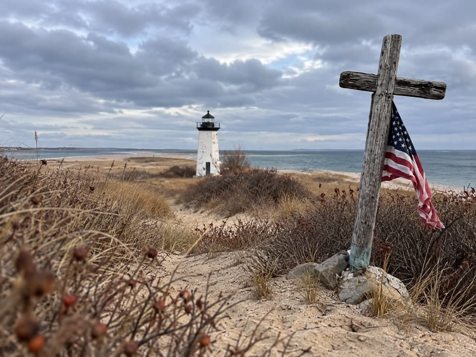
The open Atlantic shore is known as the Great Beach. The Mayflower made landfall here on November 9, 1620, before sailing on to Provincetown Harbor. Behind the sand is the former Coast Guard lifesaving station: the present building replaced an earlier station threatened by erosion, served mariners until 1958, and became the first Cape Cod National Seashore headquarters in 1961. The outer shore has a long shipwreck history, too; the park records more than 3,000 wrecks since the Sparrowhawk was lost in 1626.
Nauset Marsh’s tidal flats support shorebirds in warmer months, and seals haul out on nearby sandbars in some seasons. Keep at least 150 feet from seals and stay out of posted nesting areas. The ocean side can have dangerous rip currents. There are restrooms at the Salt Pond Visitor Center lot and seasonal restrooms at Doane and Coast Guard Beach. Pets are prohibited on this walking trail.
Wildlife
 459 sightingsGray SealMost seen around 11 AMSighting map
 84 sightingsCoyoteMost seen around 6 AMSighting map
 297 sightingsRed FoxMost seen around 7 PMSighting map
 49 sightingsWhite-tailed DeerMost seen around 6 AMSighting map
 263 sightingsHorseshoe CrabMost seen around 8 PMSighting map
 73 sightingsGreat Blue HeronMost seen around 6 PMSighting map
Sighting maps show where each species has been reported across Cape Cod. Wildlife moves, so no sighting is guaranteed.
Keep exploring
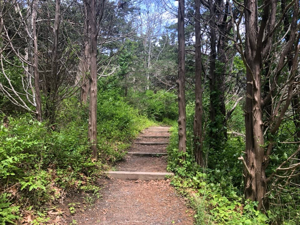 EasyNauset Marsh Trail1.3 mi · 1 hr · At the trailheadSalt Pond, tidal marsh and a short loop through recovering forest
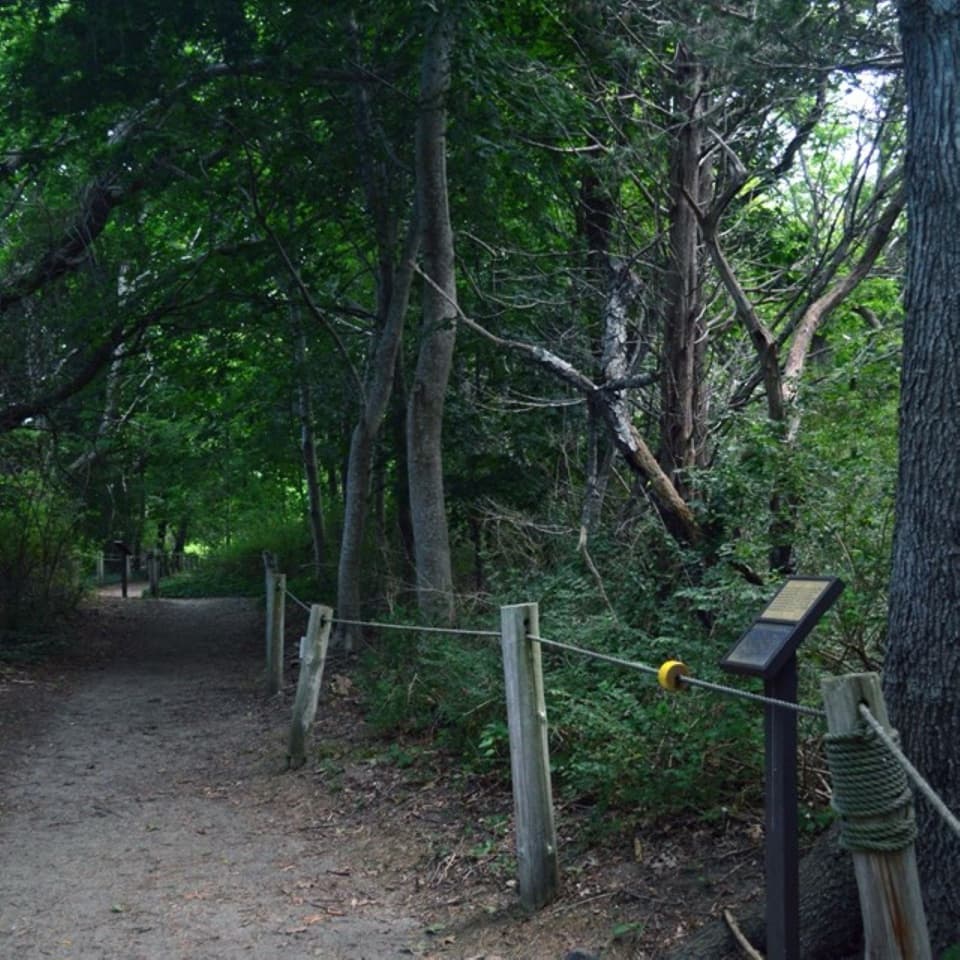 EasyButtonbush Trail0.3 mi · 15 min · At the trailheadBraille, guide ropes and a pond bridge pack into 0.3 miles.
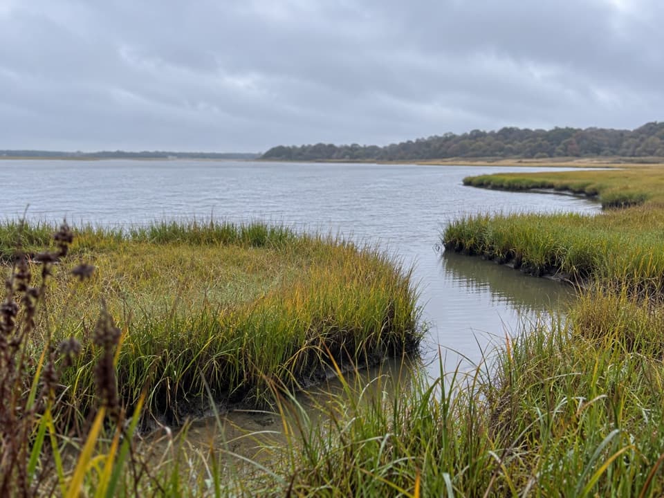 EasyNauset Bike Trail2 mi · 1.3 hr · 0.2 mi awayA rolling paved path through woods to Coast Guard Beach.
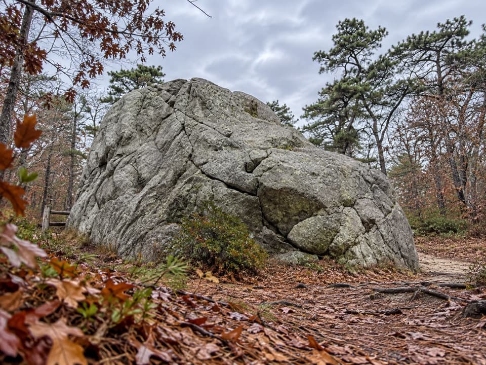 EasyDoane Trail0.6 mi · 30 min · 0.8 mi awayA short paved loop past a glacial boulder at the start.
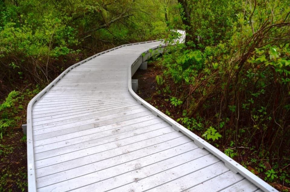 EasyRed Maple Swamp Trail0.8 mi · 30 min · 1.1 mi awayA short boardwalk beneath red maples, brightest in fall.
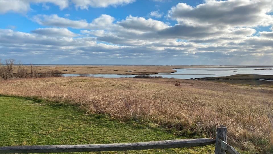 EasyFort Hill Trail1 mi · 45 min · 1.3 mi awayA short field loop with marsh views and a 20-ton story.
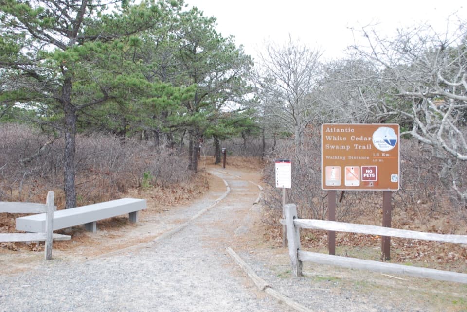 ModerateAtlantic White Cedar Swamp Trail1.2 mi · 1 hr · 5.2 mi awayBoardwalk through cedar swamp; half a mile of soft sand after.
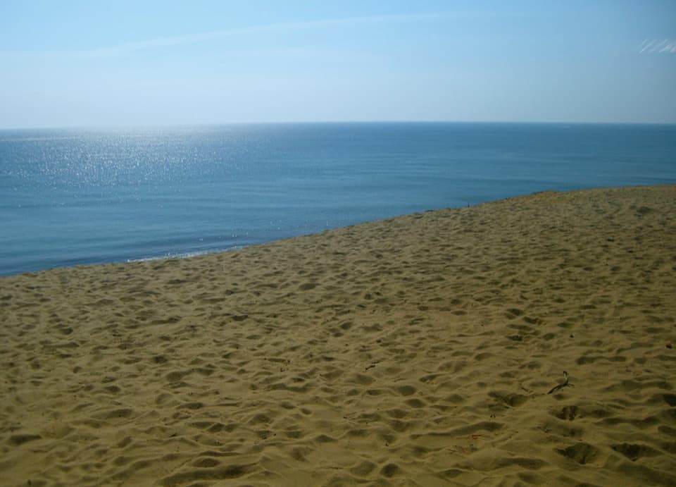 ModerateDuck Pond, Great Pond and White Crest Beach Loop5.9 mi · 2.5 hr · 7.1 mi awayTwo kettle ponds and a beach in one sandy loop.
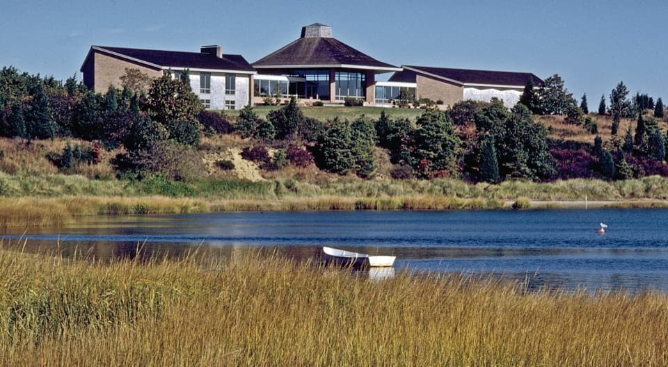 Visitor center · At the trailheadSalt Pond Visitor CenterRanger help, local history, and a view over Salt Pond.
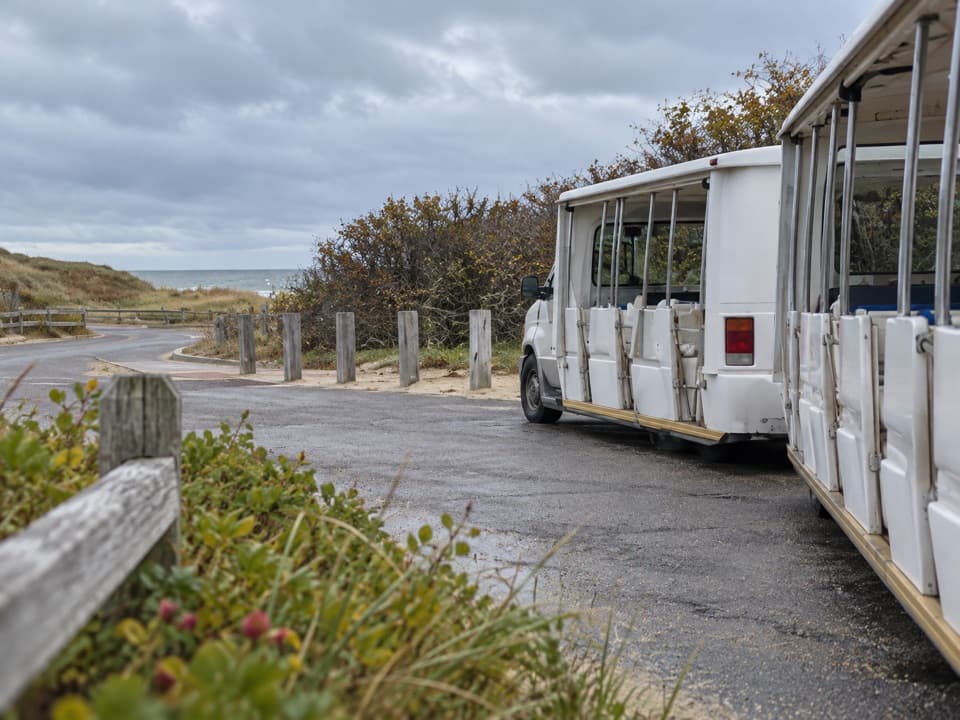 Entrance station · 0.8 mi awayLittle Creek Beach Shuttle and Fee StationSettle fees and catch the Coast Guard Beach shuttle here.
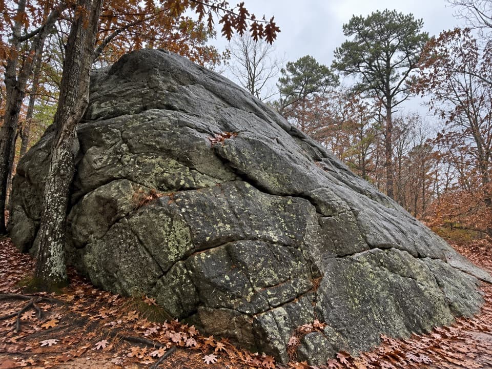 Sight · 0.9 mi awayDoane RockA giant ice-age erratic with an accessible woodland loop nearby.
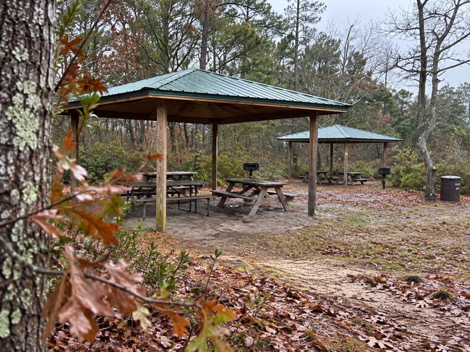 Picnic area · 0.9 mi awayDoane Rock Picnic AreaA covered picnic stop with an easy forest loop next door.
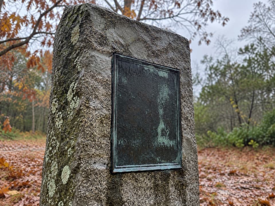 Sight · 0.9 mi awayDoane Homestead SiteA vanished 17th-century home left unusually vivid archaeological clues.
 Sight · 1.1 mi awaySkiff Hill OverlookA 20-ton sharpening stone above the marsh it once stood in.
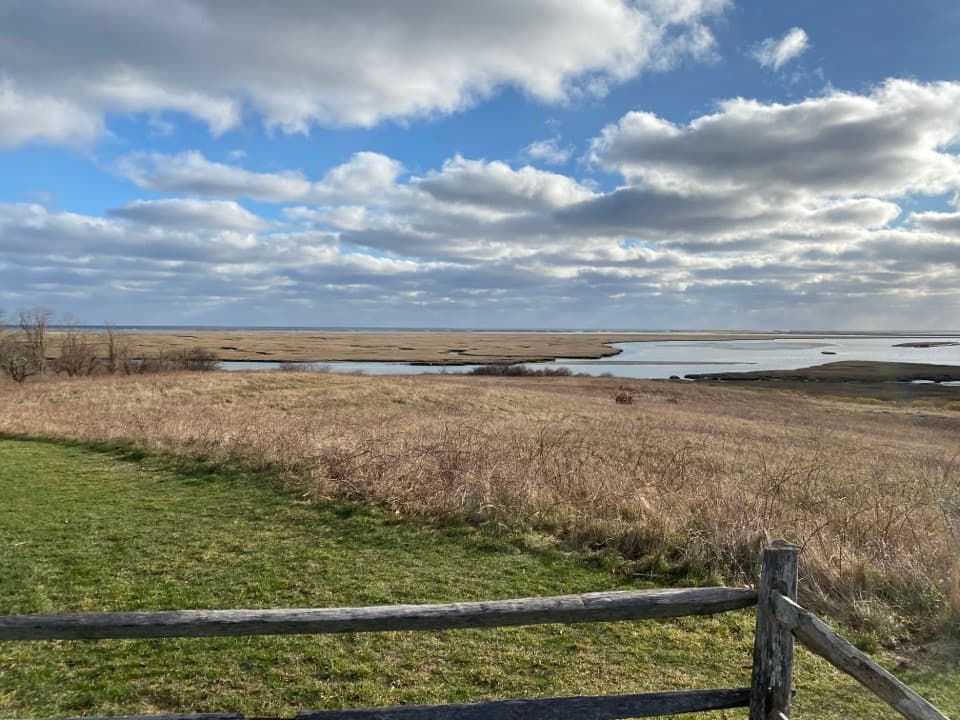 Sight · 1.3 mi awayFort HillA short loop across open fields to wide Nauset Marsh views.
 Sight · 1.4 mi awayCaptain Penniman HouseA whaling captain built this house to watch ships from the cupola.
Parkwolf’s Cape Cod ranking

The audio tour guide for the drive, plus offline maps, trails, and wildlife heatmaps for when the signal drops.