Parking
Start at the Village-side path access just outside Ocracoke Village, beside Irvin Garrish Highway (NC 12). No dedicated Village-side trail lot is identified in the route information; plan a pickup or the 3-mile return walk.
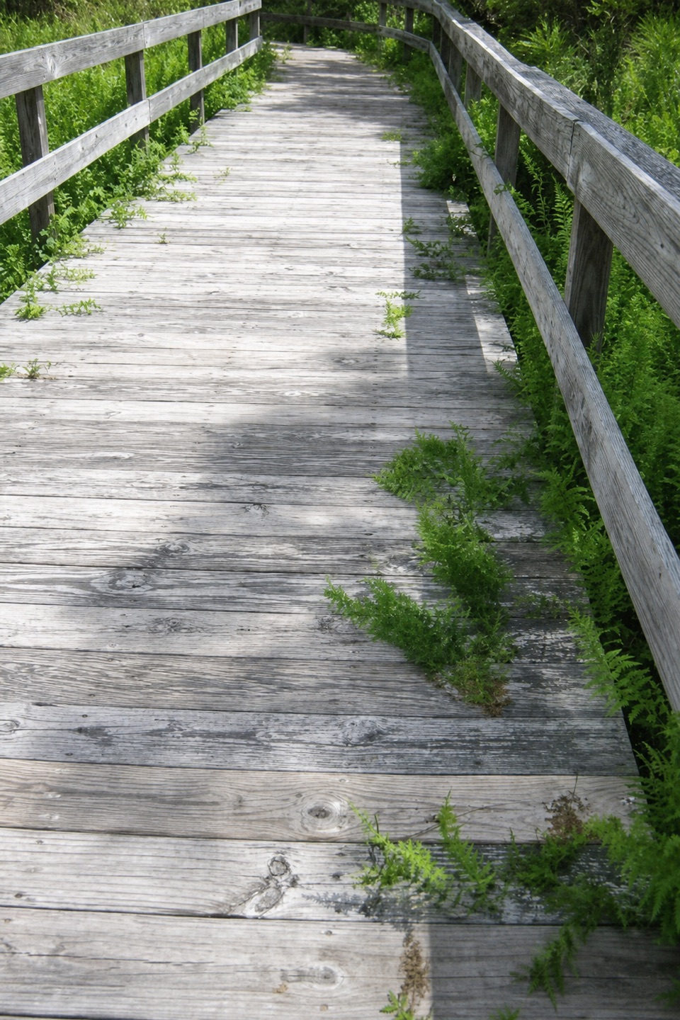
#10 of 11 trails in Cape Hatteras
Cape Hatteras National Seashore, NC
A paved 3-mile link between the village and the campground
Overview
Map & elevation
Plan your hike

The highest, rockiest slopes around here are a summer buffet for grizzly bears.
Cape Hatteras Tour Guide
Parkwolf is a GPS audio tour guide for Cape Hatteras National Seashore. As you drive, it chimes in with what’s ahead: hidden gems, upcoming stops, history, geology, and wildlife, right through your car’s speakers.
Recorded for this area
Ocracoke Lighthouse“Up ahead is Ocracoke Lighthouse, a small white tower tucked into the village. Its light first shone in 1824 to guide ships through Ocracoke Inlet, and it still works today.”
Plays on the road 0.8 mi from the trailhead in the Parkwolf Cape Hatteras Tour Guide.
More stories near here in the app
“Fantastic app with many points of information… It’s great to just turn on while you’re driving and it gives you an audio tour of the national Park. We love it!!!!”


Trail guide
The Ocracoke Multi-Use Path is a paved 3-mile point-to-point route from the village-side access just outside Ocracoke Village to Ocracoke Campground. The 3 miles are one way; walking the same corridor back makes a 6-mile outing. It follows Irvin Garrish Highway (NC 12) and is open to walkers, hikers, bikes, and strollers. Think of it as a useful island connection, not a loop or a hike to one single viewpoint.
The path stays nearly level, so the distance is the main commitment. Much of it runs beside the highway, which makes this a practical paved walk or ride rather than a quiet forest trail. It also gives access to Ocracoke Airport and Ramp 70, Ocracoke Beach, and the Hammock Hills Trail; Outer Banks Forever lists the Pony Pens as another access point. These are stops off the main line, not extra mileage included in the 3-mile figure. The Hammock Hills boardwalk is a separate short trail and the best nearby nature detour.
Allow about 1 to 1½ hours one way on foot, or roughly 2 to 3 hours for the 6-mile walk out and back, before side trips. The village end begins just outside Ocracoke Village; the other end reaches the campground. No dedicated Village-side path lot is identified in the route information, so confirm your parking and transport plan before choosing the one-way walk. The campground has drinking water and flush toilets at the far end; no midway facilities are identified. Pets are allowed in the park on a 6-foot leash, except in resource closures and designated swim beaches.
Wildlife
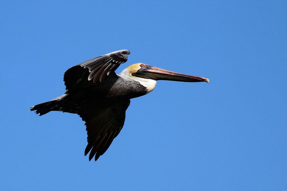 489 sightingsBrown PelicanMost seen around 8 AMSighting map
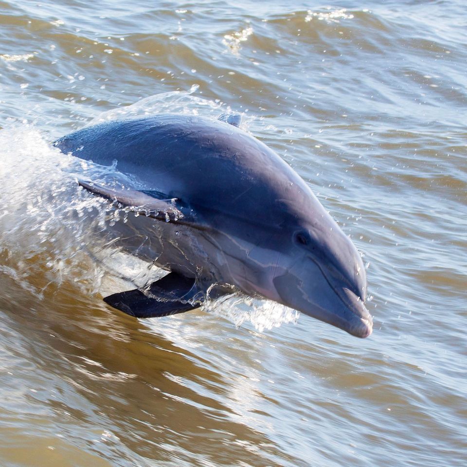 64 sightingsTamanend's Bottlenose DolphinMost seen around 7 AMSighting map
 35 sightingsBald EagleMost seen around 8 AMSighting map
 225 sightingsWhite-tailed DeerMost seen around 7 AMSighting map
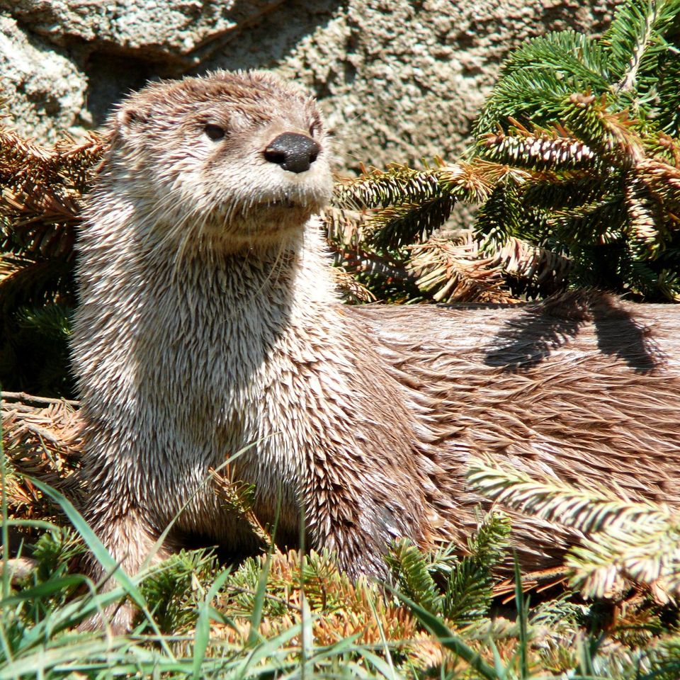 59 sightingsRiver OtterMost seen around 7 PMSighting map
 112 sightingsOspreyMost seen around 8 AMSighting map
Sighting maps show where each species has been reported across Cape Hatteras. Wildlife moves, so no sighting is guaranteed.
Keep exploring
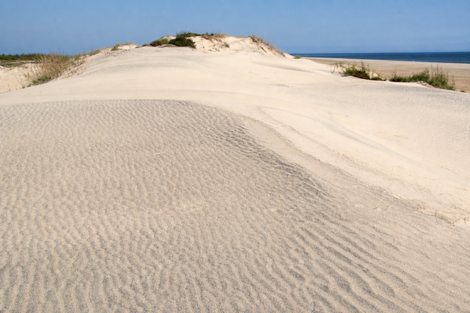 ChallengingMountains-to-Sea Trail: Cape Hatteras Section72.3 mi · 1.7 days · 1.2 mi awayA long beach route with one ferry crossing and a forest break.
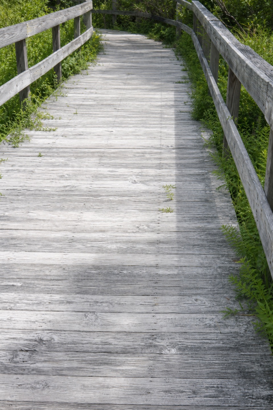 EasyHammock Hills Trail0.8 mi · 30 min · 2.9 mi awayBoardwalk, dunes, and marsh views in a quick Ocracoke loop.
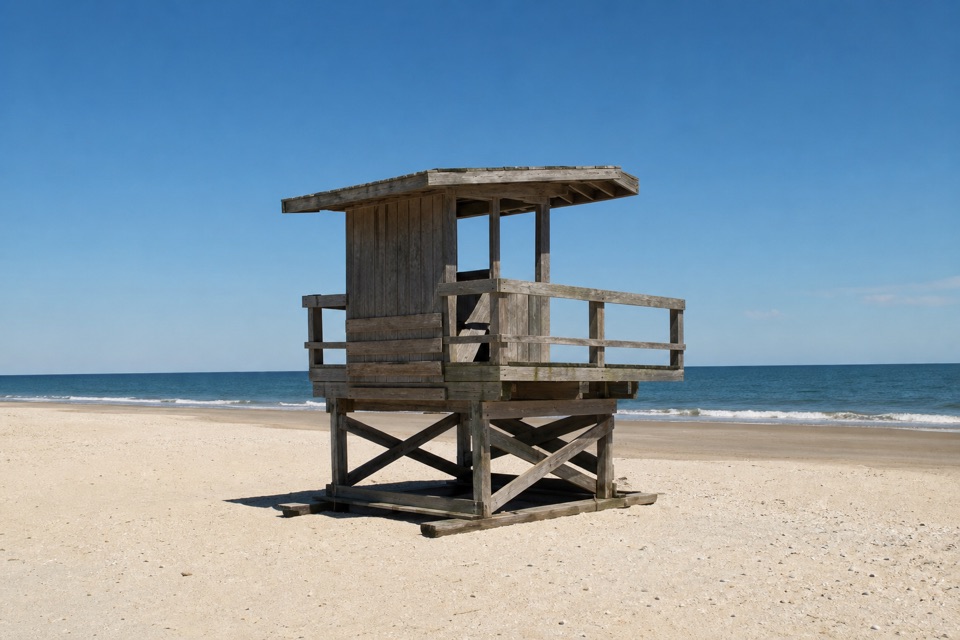 Beach · 0.9 mi awayOcracoke BeachA boardwalk leads to a warmer Atlantic beach with summer lifeguards.
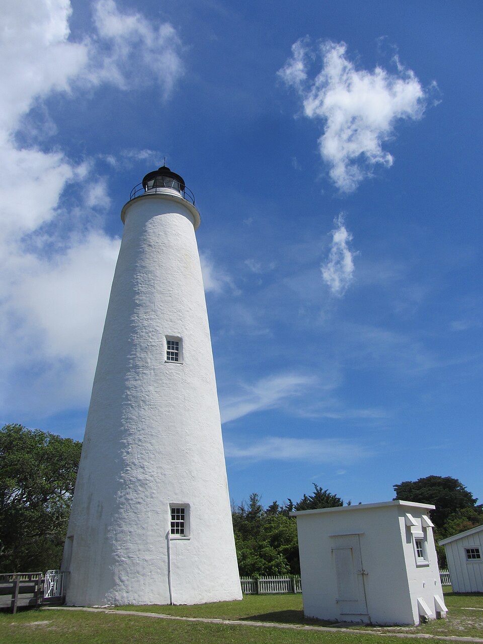 Sight · 0.9 mi awayOcracoke LighthouseA working 1820s lighthouse, an easy walk from the village.
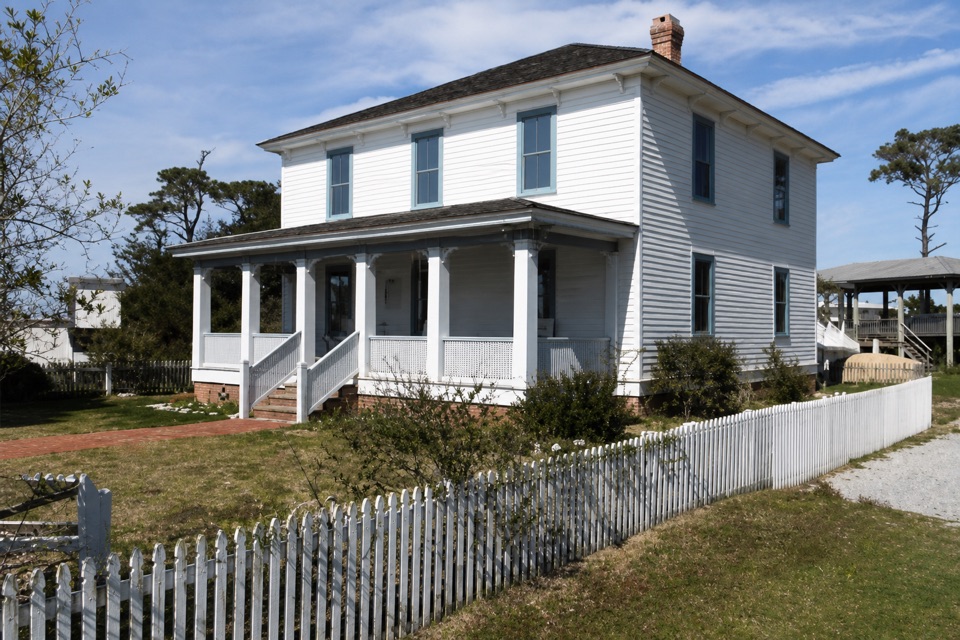 Sight · 1.1 mi awayOcracoke Preservation Society MuseumOcracoke history inside a restored home from around 1900.
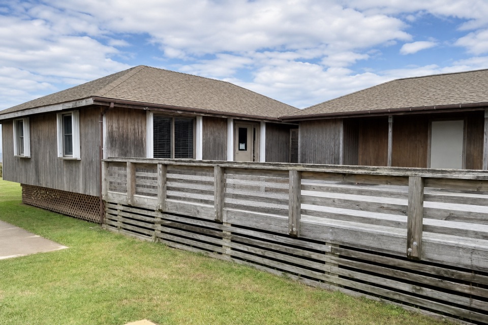 Visitor center · 1.2 mi awayOcracoke Island Discovery CenterA useful first stop for maps, park info, and island bearings.
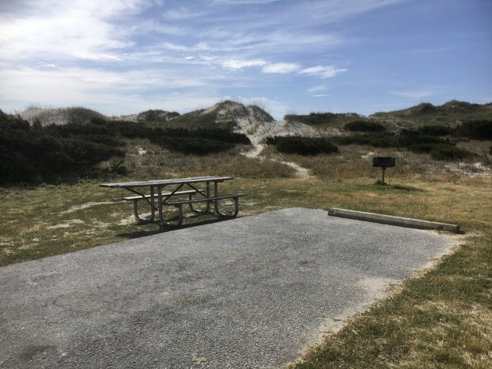 Campground · 3.2 mi awayOcracoke CampgroundCamp behind the dunes, with the Atlantic a short walk away.
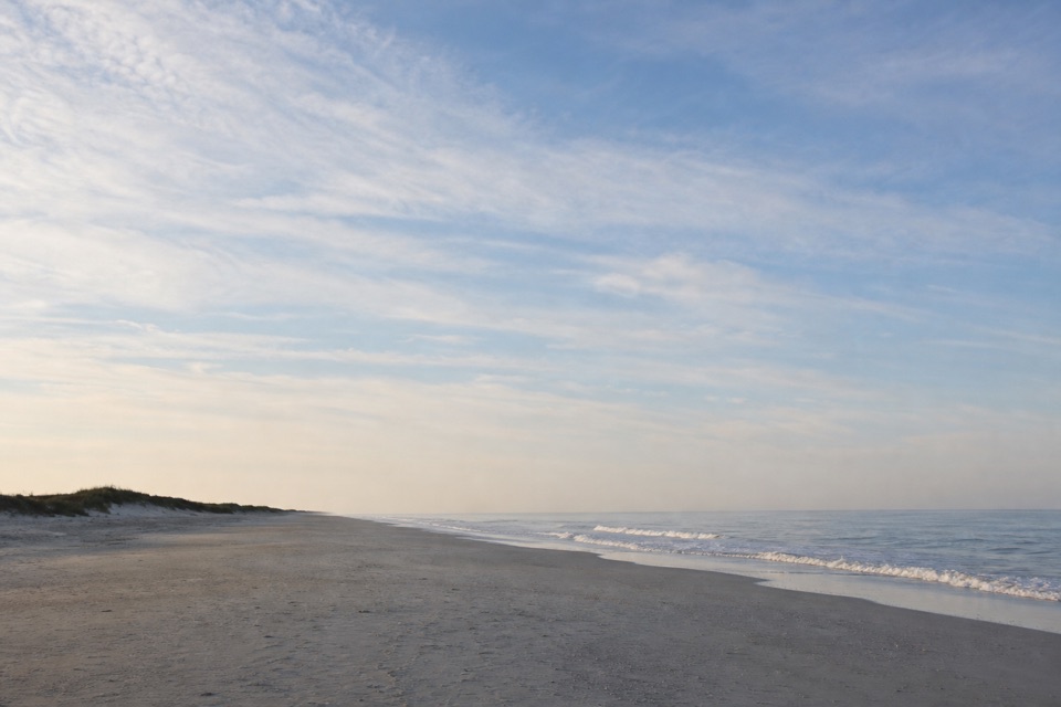 Beach · 6.3 mi awayPony Pasture BeachA boardwalk crosses the dunes to Ocracoke’s Atlantic shore.
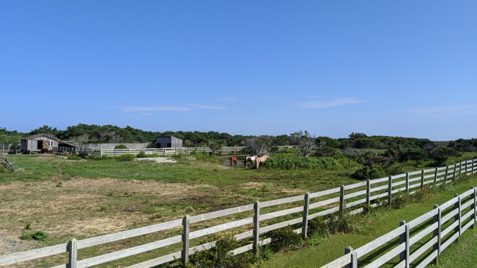 Sight · 6.3 mi awayOcracoke Pony PensTwo raised decks offer an easy chance to spot Ocracoke's horses.
Parkwolf’s Cape Hatteras ranking

The audio tour guide for the drive, plus offline maps, trails, and wildlife heatmaps for when the signal drops.