Open Ponds Trail in Cape Hatteras National Seashore

#1 of 11 trails in Cape Hatteras

Cape Hatteras National Seashore, NC

Open Ponds Trail

A one-way crossing through Hatteras dunes, ponds, and maritime woods.

Length
4.5mi
Time
4hr
Elevation
Flat
Difficulty
Moderate
  • Dogs allowed
  • High point 22 ft

Hear the audio tour

Buxton British Cemetery and Open Ponds Trail

Overview

About Open Ponds Trail

Why go

  • Interdune ponds and maritime forest break up the sandy crossing.

Heads up

  • Loose sand slows the miles, and a true one-way walk needs a pickup.

Map & elevation

The route

Loading the Cape Hatteras map
Full map
Elevation7–22 ft
TrailheadOpen Ponds Eastern Trailhead35.24802, -75.53263
Keep this map with you offline in the Parkwolf app

Plan your hike

Before you go

Parking

The eastern trailhead by the British Cemetery and Buxton Woods Picnic Area has a small lot with limited spaces. There is no parking at the western trailhead; the nearest spaces are at the entrance to Frisco Campground. Arrange a ride, or walk back for a 9-mile total.

Safety

Loose sand on rolling dunes slows the pace, and open dune and scrub sections have little shade. A three-way fork near Frisco can be confusing; from that end, the route account follows the left branch and finds a trail sign just beyond it.

6 active Cape Hatteras alerts

  • ClosurePartial beach closures in front of Buxton VillageSections of beachfront in front of Buxton Village are temporarily closed. - The closure is due to threatened oceanfront structures and Dare County’s beach nourishment project.Official details
  • ClosurePartial beach closure in northern RodantheThe beach from the northern boundary of Rodanthe to the Rodanthe pier is closed to all access. - The closure is required because multiple threatened oceanfront structures pose risks to public safety.Official details
See all 6 alerts
A park ranger sits on a dash-mounted phone, talking, as Parkwolf’s Tour Guide plays “Army Cutworm Moths: A Grizzly Bear Buffet” on Grand Loop Road below Dunraven Pass in Yellowstone
Parkwolf Tour GuideThe highest, rockiest slopes around here are a summer buffet for grizzly bears.

Cape Hatteras Tour Guide

Your drive to Open Ponds Trail, narrated.

Parkwolf is a GPS audio tour guide for Cape Hatteras National Seashore. As you drive, it chimes in with what’s ahead: hidden gems, upcoming stops, history, geology, and wildlife, right through your car’s speakers.

Recorded for this trailhead

Buxton British Cemetery and Open Ponds Trail
0:00 / 0:30
“You're approaching Buxton British Cemetery and the eastern end of Open Ponds Trail. The tiny, fenced cemetery holds two sailors lost during the 1942 U-boat attacks off Hatteras.”

Plays as you drive up to this trailhead in the Parkwolf Cape Hatteras Tour Guide.

More stories near here in the app

  • Cape Point Campground
  • Cape Point
  • Cape Hatteras Lighthouse Grounds
  • Old Lighthouse Beach and the Former Tower Site
  • 67 audio storiesacross Cape Hatteras’s roads, triggered by GPS as you drive
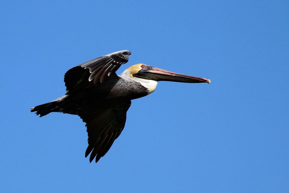
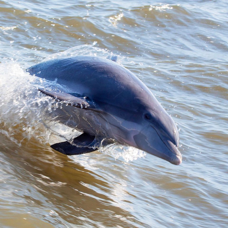
  • Wildlife heatmapsfor Brown Pelican, Tamanend's Bottlenose Dolphin, Bald Eagle, and 13 more
  • Works offlinemaps, 11 trails, 35 places, and audio download before you lose signal
  • CarPlay readysimple controls built for the drive
★★★★★
“Fantastic app with many points of information… It’s great to just turn on while you’re driving and it gives you an audio tour of the national Park. We love it!!!!”
JMJamesApp Store review
Download Parkwolf on the App StoreGet Parkwolf on Google Play

4.7 from 8,600+ ratings

Trail guide

Hiking Open Ponds Trail

Cross Hatteras one wayOpen Ponds Trail is a 4.

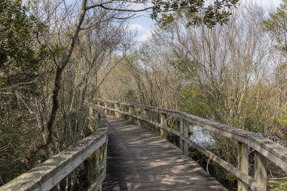
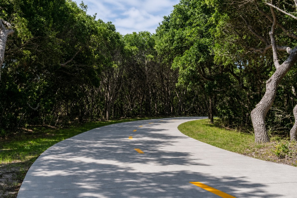
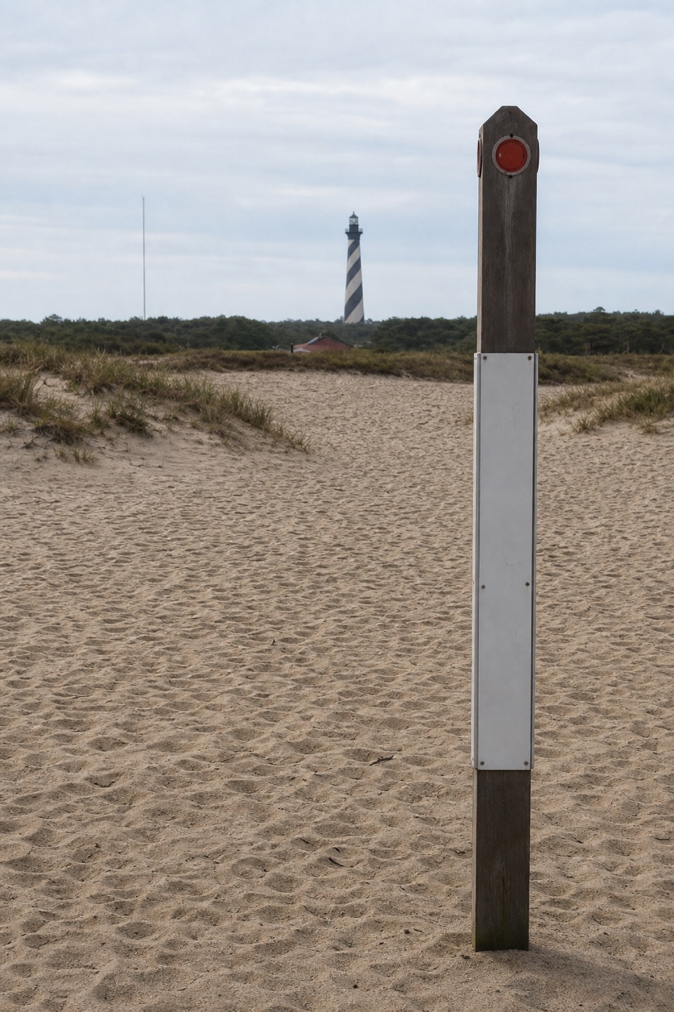
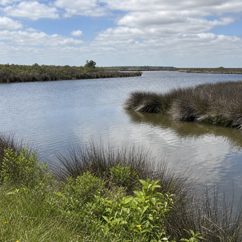
Open Ponds Trail is a 4.5-mile point-to-point hike across Hatteras Island, linking the British Cemetery by Buxton Woods Picnic Area with Frisco Campground. It is a segment of the Mountains-to-Sea Trail. The route moves among dunes, shrub thickets, maritime forest, and interdune ponds; this is an interior walk, not a beach hike. Keep it for a half day when you want a longer change of scene from the coast road. The listed distance is one way, not a loop, so walking back makes a 9-mile day. Arrange a pickup if you want the full crossing without retracing your steps. The ponds are part of the scenery along the crossing, not a single destination at the end.

Sand, ponds, and woodsSoft sand is the main effort.

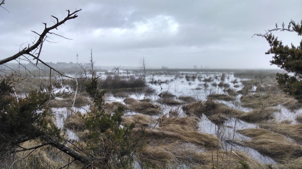
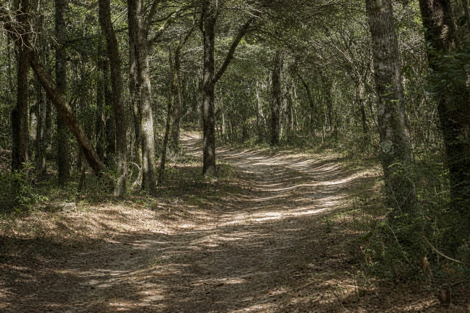
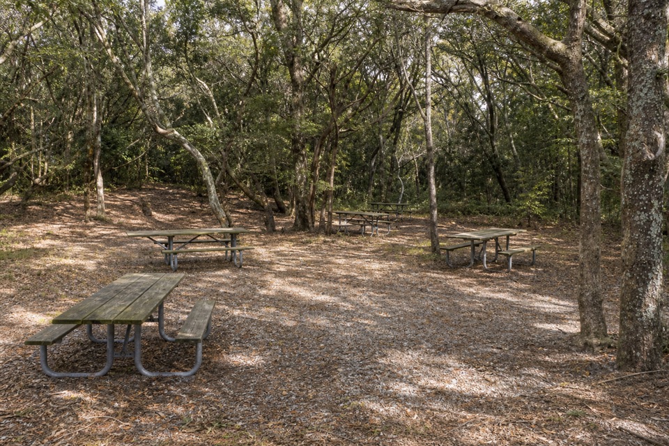
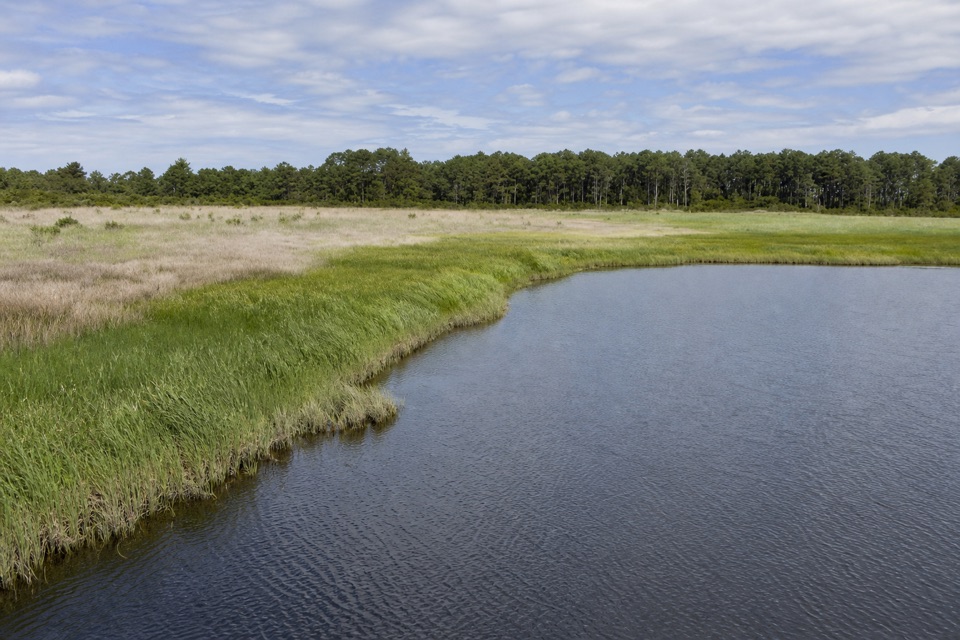
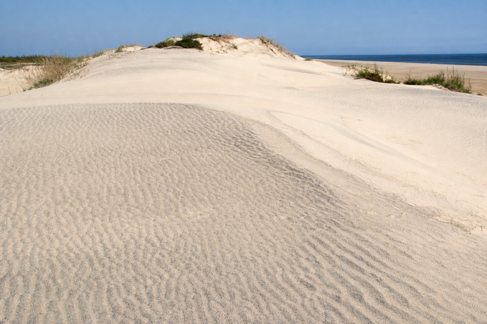
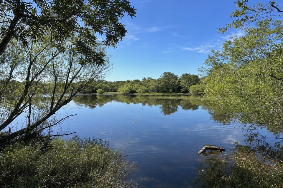
Soft sand is the main effort. Rolling dune ridges keep the footing uneven, and open dune and scrub stretches have little shade, so the mileage feels longer than a firm path. Other stretches pass through maritime forest with ponds set between sandy ridges. Near the Buxton end, the trail provides access into Buxton Nature Reserve, which protects 1,007 acres and one of the Atlantic Coast's largest contiguous maritime evergreen forests. If a pond opens beside the path, leave some of the wooded far bank in your photo; that setting is the point of the view, not a tight shot of water alone. The reward is a set of landscape changes rather than one big summit or lookout.

The Frisco endFrom the campground end, a detailed route account describes an old service road that reaches a…

From the campground end, a detailed route account describes an old service road that reaches a disused water tower just short of a mile from Frisco. Past the tower, the route becomes hilly and very sandy; deep sand continues at the two-mile mark. The service-road start is brief; don't count on it being representative of the rest. The same account flags a three-way fork on a hill: take the left branch, then look for a trail sign a little farther on. That directional note is for the Frisco approach. Hikers starting near the British Cemetery meet those landmarks from the other direction, so don't apply the left turn in reverse.

Plan the crossingSet aside about four hours; NPS calls it a half-day walk.

Set aside about four hours; NPS calls it a half-day walk. Sand may lower your pace, and the open dune and scrub sections offer little shade. The east trailhead has a small lot with limited capacity. There is no parking at the west trailhead; NPS says the closest spaces are at the entrance to Frisco Campground. That makes a pickup important for a true one-way trip; otherwise budget nine miles total to return to your start. Pets are allowed on a leash no longer than six feet, subject to any resource closure. The service-road approach from Frisco is short, so don't expect it to represent the surface for the rest of the route.

Wildlife

Wildlife in Cape Hatteras

All Cape Hatteras wildlife maps

Sighting maps show where each species has been reported across Cape Hatteras. Wildlife moves, so no sighting is guaranteed.

Keep exploring

Near Open Ponds Trail

See it all on the map

Trails that start nearby

Places near the trailhead

Parkwolf’s Cape Hatteras ranking

Top-rated trails in Cape Hatteras

All 11 trails
  1. 2Buxton Woods TrailEasy · 0.8 mi
  2. 3Bodie Island Boardwalk TrailEasy · 0.4 mi
  3. 4Hammock Hills TrailEasy · 0.8 mi
  4. 5Mountains-to-Sea Trail: Cape Hatteras SectionChallenging · 72.3 mi
  5. 6Off-Island TrailEasy · 0.6 mi
  6. 7Lookout Loop TrailEasy · 0.3 mi

Take Parkwolf to Cape Hatteras.

The audio tour guide for the drive, plus offline maps, trails, and wildlife heatmaps for when the signal drops.

4.7 from 8,600+ ratings

Download Parkwolf on the App StoreGet Parkwolf on Google Play