Parking
Park at Buxton Woods Picnic Area on Lighthouse Road in Buxton; the trail starts from the picnic area.
#2 of 11 trails in Cape Hatteras
Cape Hatteras National Seashore, NC
A marsh boardwalk and maritime forest in under an hour.
Overview
Map & elevation
Plan your hike

The highest, rockiest slopes around here are a summer buffet for grizzly bears.
Cape Hatteras Tour Guide
Parkwolf is a GPS audio tour guide for Cape Hatteras National Seashore. As you drive, it chimes in with what’s ahead: hidden gems, upcoming stops, history, geology, and wildlife, right through your car’s speakers.
Recorded for this trailhead
Cape Hatteras Lighthouse Grounds“You're approaching the Cape Hatteras Lighthouse grounds, where the black-and-white spiral tower stands beside the old keepers' buildings. This is a stop I'd keep even if you only walk the grounds.”
Plays as you drive up to this trailhead in the Parkwolf Cape Hatteras Tour Guide.
More stories near here in the app
“Fantastic app with many points of information… It’s great to just turn on while you’re driving and it gives you an audio tour of the national Park. We love it!!!!”


Trail guide
Buxton Woods Trail is about a 0.75-mile loop from Buxton Woods Picnic Area, with a short shared entrance path that you walk out and back. Allow about 45 minutes. The sandy route circles through maritime forest and wetland, with a wooden boardwalk as its most distinctive stretch. It’s an easy change of pace from Hatteras’s open beaches if you want to look closely at the island’s woods; don’t come expecting a long hike or a broad view.
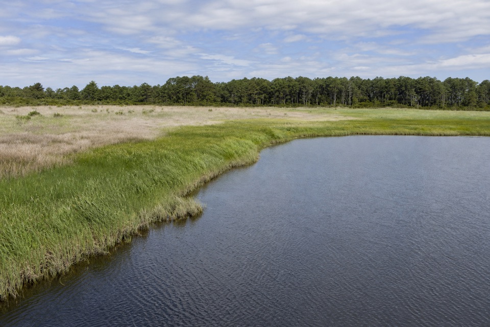
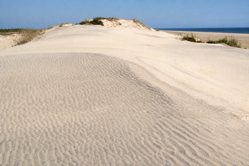
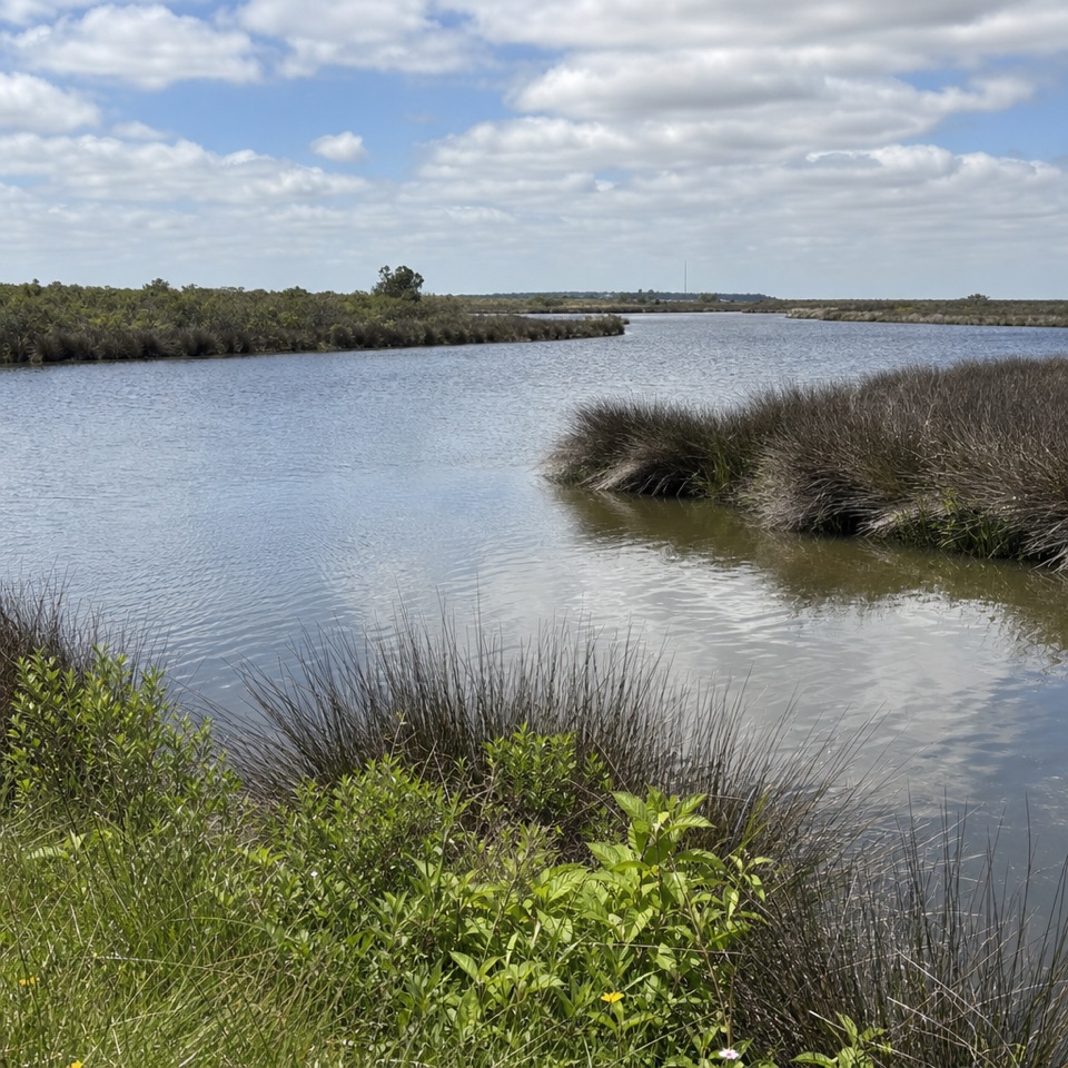
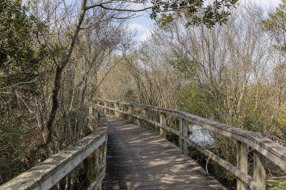
The sandy track begins beneath live oaks and crosses low, stabilized dune ridges. About 250 yards from the picnic area, take the right-hand branch to follow the edge of Jennette’s Sedge, a reed-filled freshwater pond. The loop crosses a short boardwalk over wet marsh, then turns through denser vegetation. A smaller swamp comes into view farther along; look for yaupon bearing bright red berries when in season. The trail returns to the first fork just under 0.6 mile, so retrace the entry path to finish back at the picnic area.
This is a quiet look at maritime forest formed on old beach ridges: centuries-old live oaks, pines, ponds, and marsh tucked behind the oceanfront dunes. The wider woods hold saltwater as well as freshwater ponds and support wildlife unusual for a barrier island, but sightings of foxes, otters, turtles, or birds are luck, not the point of a guaranteed wildlife walk. The route stays relatively level; its interest is the changing vegetation and wetland edge, not a summit view. At the boardwalk, shoot down the planks toward their bend so the rails frame the marsh crossing.
Start and park at Buxton Woods Picnic Area on Lighthouse Road; picnic tables make it easy to pair the walk with lunch. Insects can be active even on warm winter days, so repellent is unusually useful here. The sandy track can also be soggy after rain. Dogs are allowed on a leash no longer than 6 feet.
Wildlife
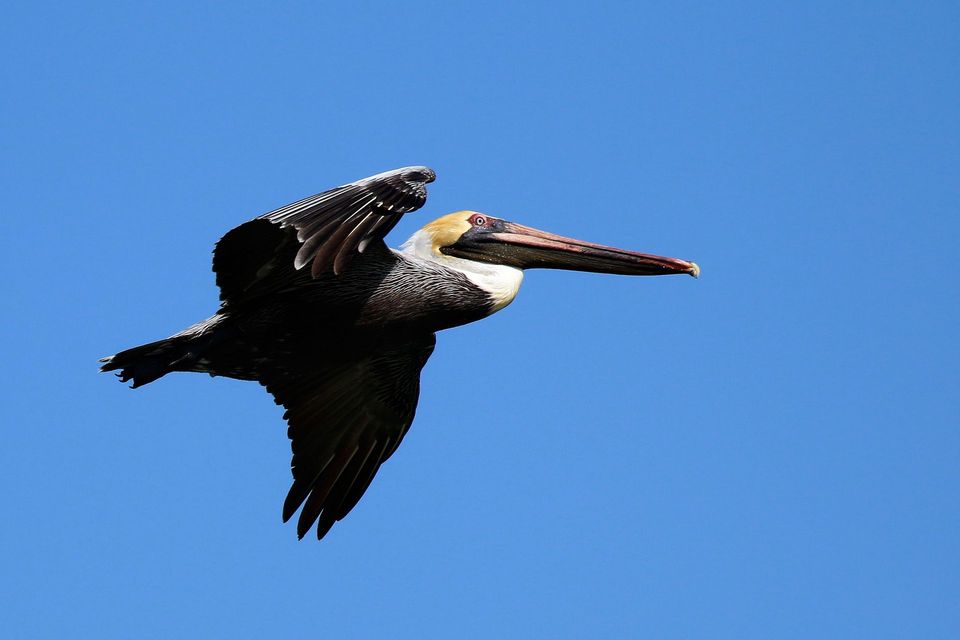 489 sightingsBrown PelicanMost seen around 8 AMSighting map
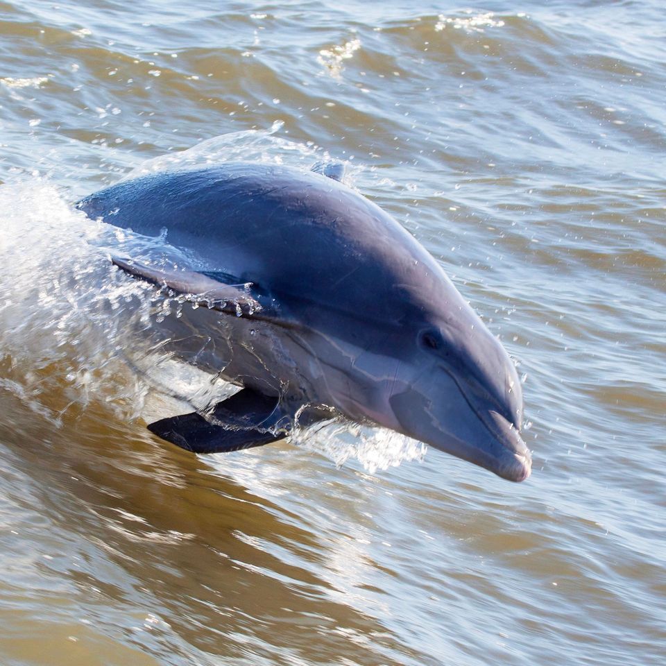 64 sightingsTamanend's Bottlenose DolphinMost seen around 7 AMSighting map
 35 sightingsBald EagleMost seen around 8 AMSighting map
 225 sightingsWhite-tailed DeerMost seen around 7 AMSighting map
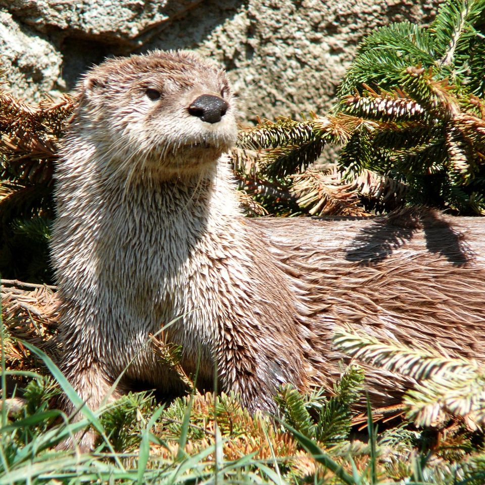 59 sightingsRiver OtterMost seen around 7 PMSighting map
 112 sightingsOspreyMost seen around 8 AMSighting map
Sighting maps show where each species has been reported across Cape Hatteras. Wildlife moves, so no sighting is guaranteed.
Keep exploring
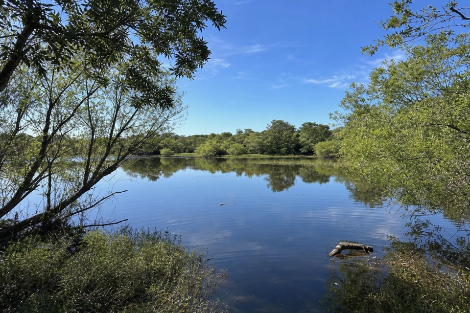 ModerateOpen Ponds Trail4.5 mi · 4 hr · 0.4 mi awayA one-way crossing through Hatteras dunes, ponds, and maritime woods.
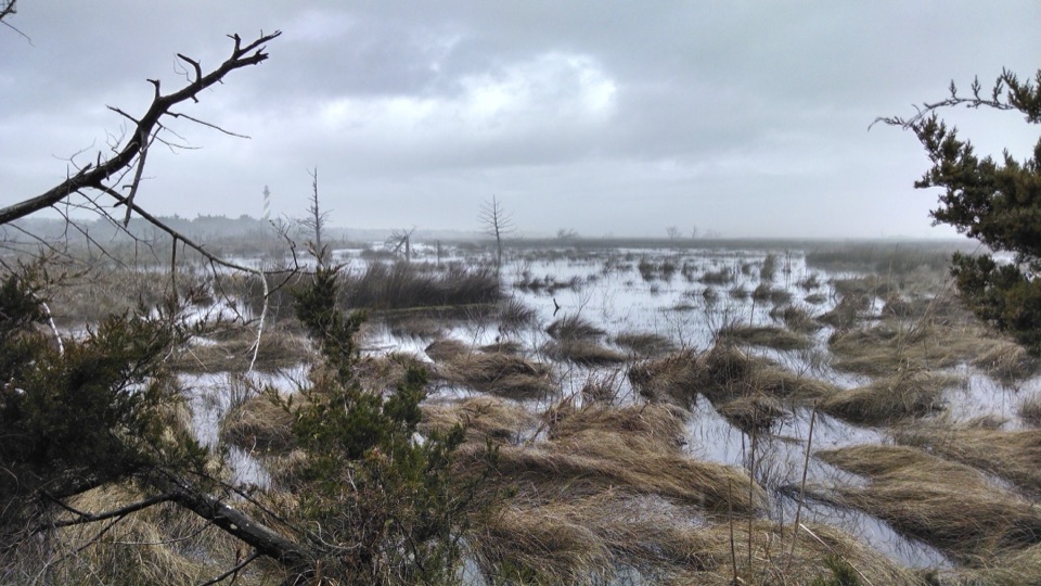 EasyLoran Road Trail0.5 mi · 15 min · 0.7 mi awayAn easy accessible walk along a former Coast Guard tower road.
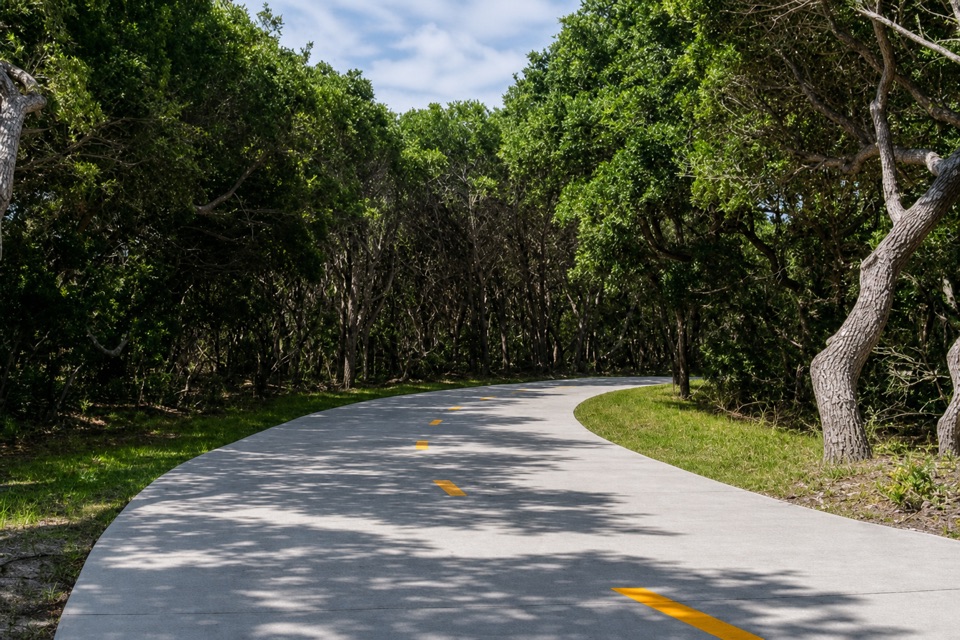 EasyThe Lighthouse Pathway1.5 mi · 36 min · 0.9 mi awayA broad paved link from Buxton to the lighthouse and beach.
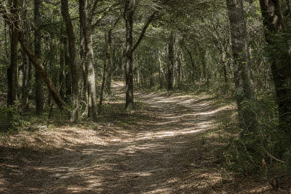 EasyLookout Loop Trail0.3 mi · 21 min · 1.8 mi awayA quick ridge-to-sedge walk across old coastal dunes.
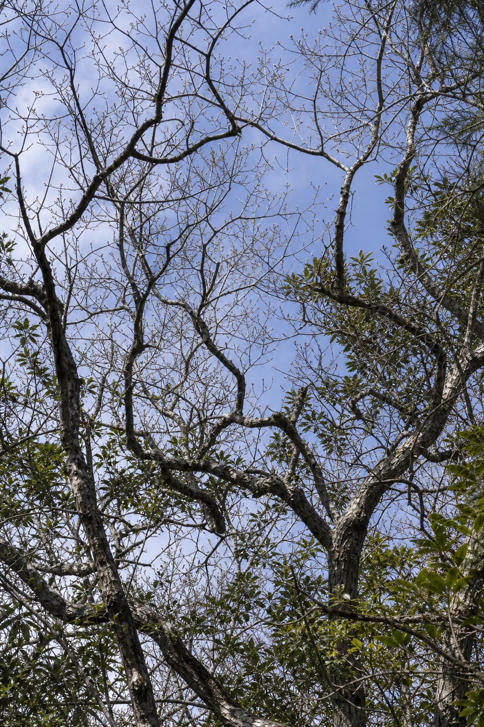 ModerateNorth Trail (Buxton Woods Reserve)2 mi · 1.3 hr · 3.1 mi awayA steep climb through the barrier island’s dune-ridge forest.
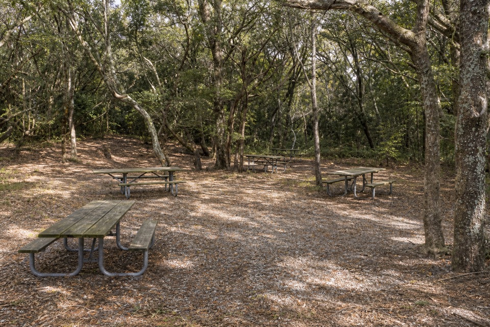 Picnic area · At the trailheadBuxton Woods Picnic AreaA shady picnic stop with a lighthouse view and forest trail.
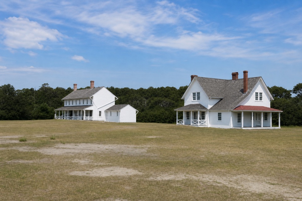 Sight · 0.1 mi awayMuseum of the SeaShipwreck and lifesaving stories inside a 1854 keeper house.
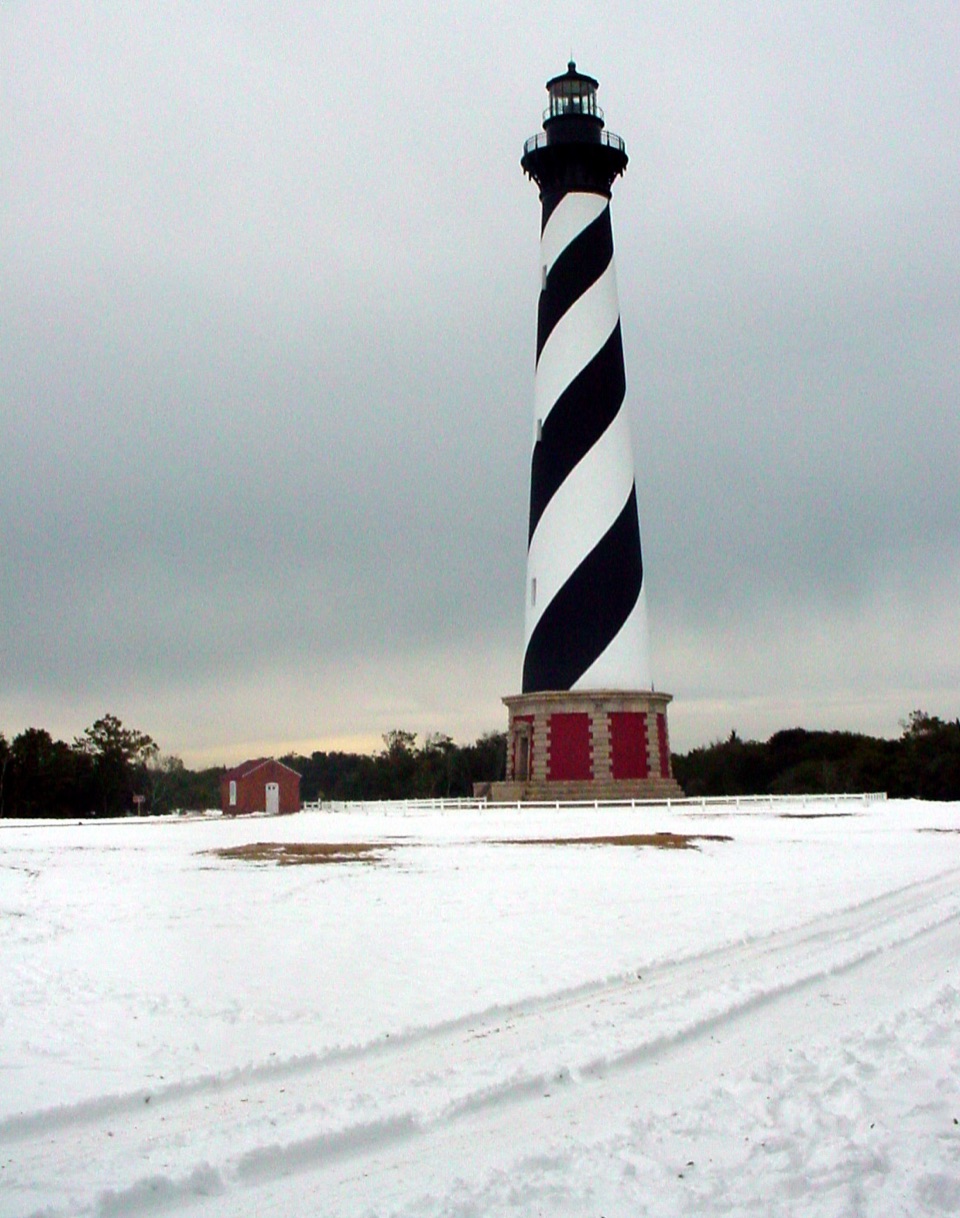 Sight · 0.2 mi awayCape Hatteras LighthouseA black-and-white beacon for the Graveyard of the Atlantic.
 Sight · 0.4 mi awayBuxton British CemeteryTwo sailors' graves give this short stop a World War II story.
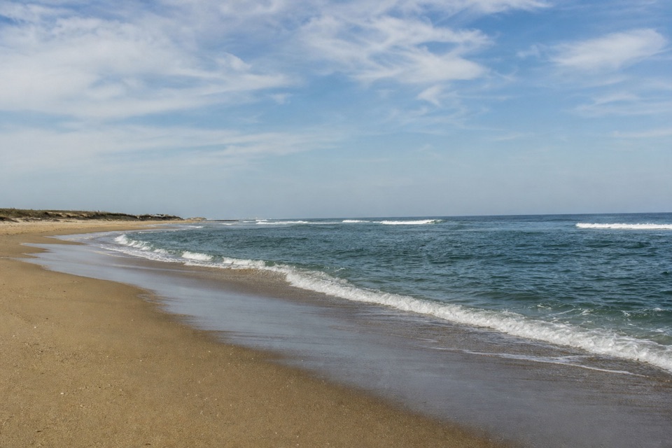 Beach · 0.4 mi awayOld Lighthouse BeachSurf, shells and a lighthouse story written into the sand.
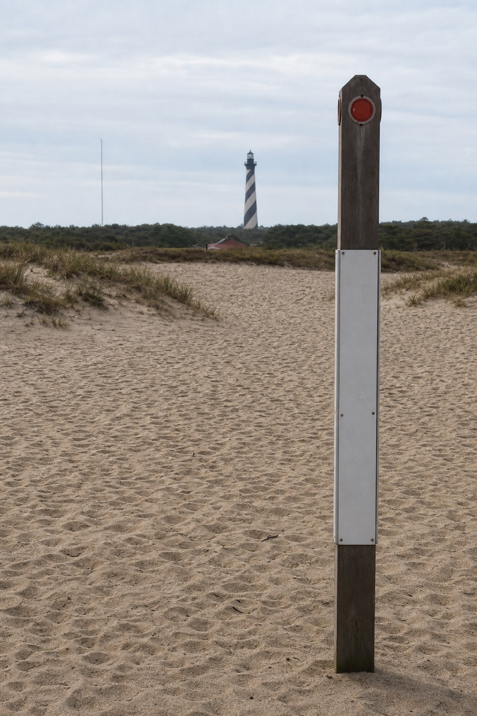 Sight · 0.5 mi awayHistoric Cape Hatteras Lighthouse SiteSee the old footprint and the tower’s 2,900-foot move.
 Food · 0.9 mi awayOrange Blossom Bakery & CaféA big apple fritter with a story built into the dough.
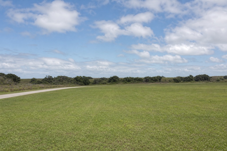 Campground · 1.3 mi awayCape Point CampgroundOpen camping, a dune walk from the Atlantic and Cape Point.
Parkwolf’s Cape Hatteras ranking

The audio tour guide for the drive, plus offline maps, trails, and wildlife heatmaps for when the signal drops.