Parking
Begin at Ocracoke Ferry Terminal. This is a one-way section that ends at the Nags Head boundary, so arrange a separate return from the north end.
#5 of 11 trails in Cape Hatteras
Cape Hatteras National Seashore, NC
A long beach route with one ferry crossing and a forest break.
Overview
Map & elevation
Plan your hike

The highest, rockiest slopes around here are a summer buffet for grizzly bears.
Cape Hatteras Tour Guide
Parkwolf is a GPS audio tour guide for Cape Hatteras National Seashore. As you drive, it chimes in with what’s ahead: hidden gems, upcoming stops, history, geology, and wildlife, right through your car’s speakers.
Recorded for this area
Ocracoke Village Discovery Center and Museum“You're approaching the Ocracoke Island Discovery Center in the village, a handy stop for a map or advice from a ranger. Nearby, the Ocracoke Preservation Society Museum fills a restored house from around 1900.”
Plays on the road 0.1 mi from the trailhead in the Parkwolf Cape Hatteras Tour Guide.
More stories near here in the app
“Fantastic app with many points of information… It’s great to just turn on while you’re driving and it gives you an audio tour of the national Park. We love it!!!!”


Trail guide
The Cape Hatteras part of the Mountains-to-Sea Trail’s Outer Banks segment is a roughly 72-mile, one-way route from the Ocracoke Ferry Terminal to the north edge of the national seashore at Nags Head. The 72 walking miles are separate from a required ferry crossing from Ocracoke to Hatteras. The longer named segment continues north to Jockey’s Ridge State Park; this record ends at the seashore boundary. Plan for a through-hike and a separate pickup at the far end—there’s no loop back to Ocracoke.
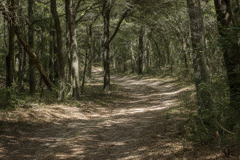
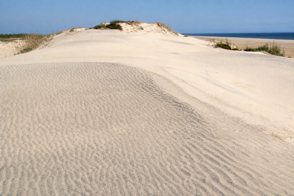
Most of the walking is on loose, shifting beach sand. The terrain is almost level, but the surface makes the mileage tiring, and the view changes slowly over long beach stretches. In Buxton Woods, the route leaves the open coast for the sandy Open Ponds Trail, crossing dunes, shrub thickets and maritime forest between the British Cemetery area and Frisco Campground. That’s the best change of pace on the route. North of Buxton, the trail passes through Pea Island National Wildlife Refuge before reaching Nags Head; its low dunes and beach grass are a good place to stop for a photo. Winter brings waterfowl to the refuge. White-circle blazes are sparse on beach stretches and can disappear in storms, so check the route where it shifts between sand, roads and the forest trail. The Outer Banks’ “Graveyard of the Atlantic” nickname comes from the area’s severe weather and meeting ocean currents; this route keeps you close to that exposed coast for days.
Start at Ocracoke Ferry Terminal and follow the route north. The Ocracoke–Hatteras ferry takes about an hour and is part of this park section; the other ferry in Segment 18 is outside this record’s start. The National Park Service requires overnight hikers to use designated campgrounds; camping on the beach is not allowed. Roadway and bridge crossings need care. Dogs can join on leash: no longer than six feet in the seashore and ten feet maximum in Pea Island Refuge. At Pea Island, pets are not allowed west of NC 12 except in and beside parking areas, not on trails. Dogs are also prohibited in resource closures.
Wildlife
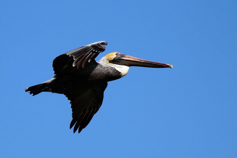 489 sightingsBrown PelicanMost seen around 8 AMSighting map
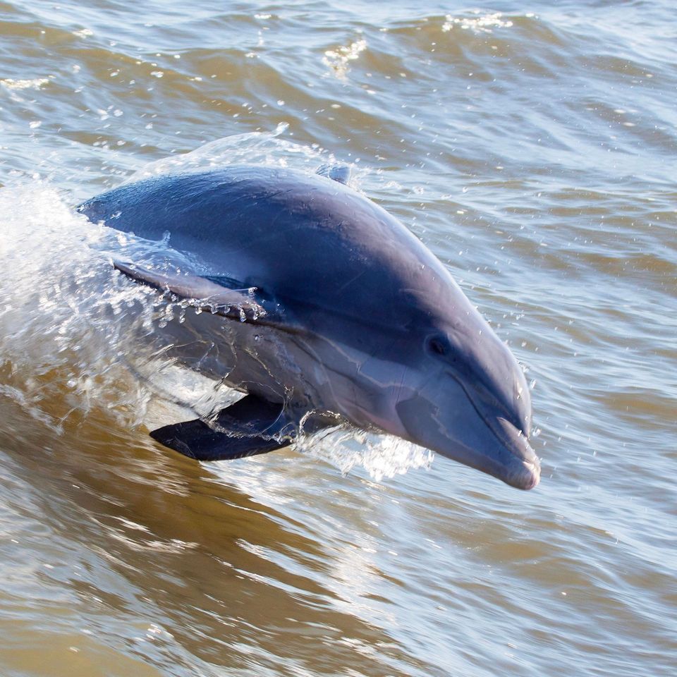 64 sightingsTamanend's Bottlenose DolphinMost seen around 7 AMSighting map
 35 sightingsBald EagleMost seen around 8 AMSighting map
 225 sightingsWhite-tailed DeerMost seen around 7 AMSighting map
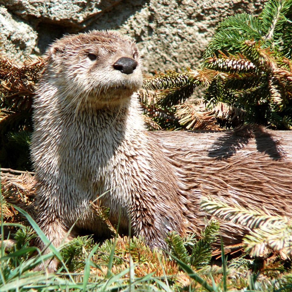 59 sightingsRiver OtterMost seen around 7 PMSighting map
 112 sightingsOspreyMost seen around 8 AMSighting map
Sighting maps show where each species has been reported across Cape Hatteras. Wildlife moves, so no sighting is guaranteed.
Keep exploring
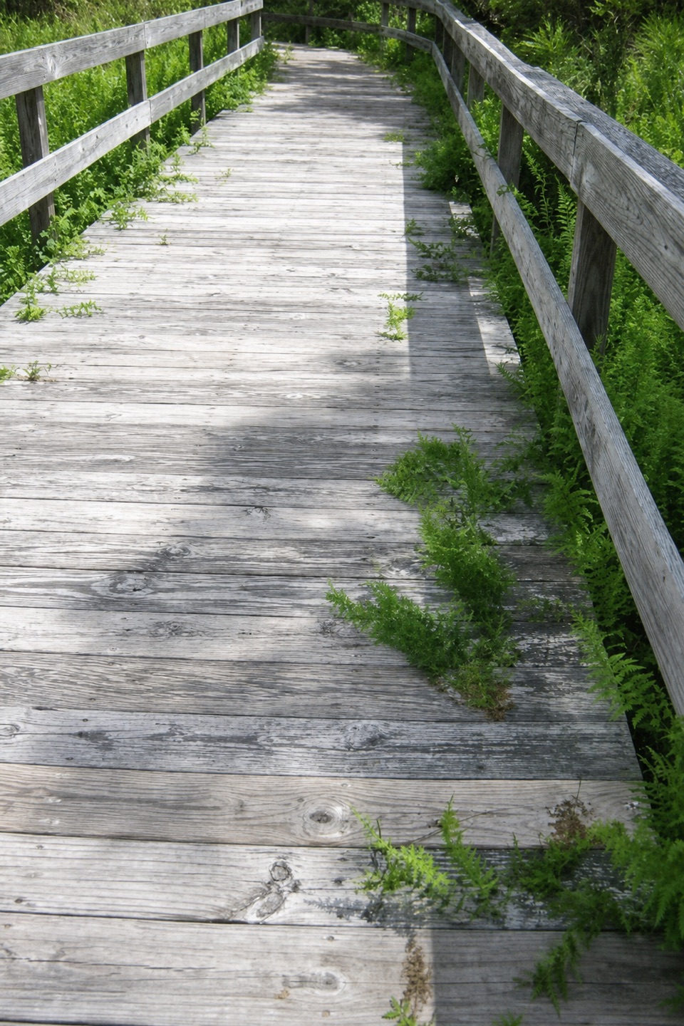 EasyOcracoke Multi-Use Path3 mi · 1.5 hr · 1.2 mi awayA paved 3-mile link between the village and the campground
 EasyHammock Hills Trail0.8 mi · 30 min · 3.6 mi awayBoardwalk, dunes, and marsh views in a quick Ocracoke loop.
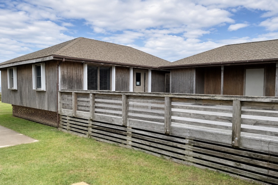 Visitor center · 0.1 mi awayOcracoke Island Discovery CenterA useful first stop for maps, park info, and island bearings.
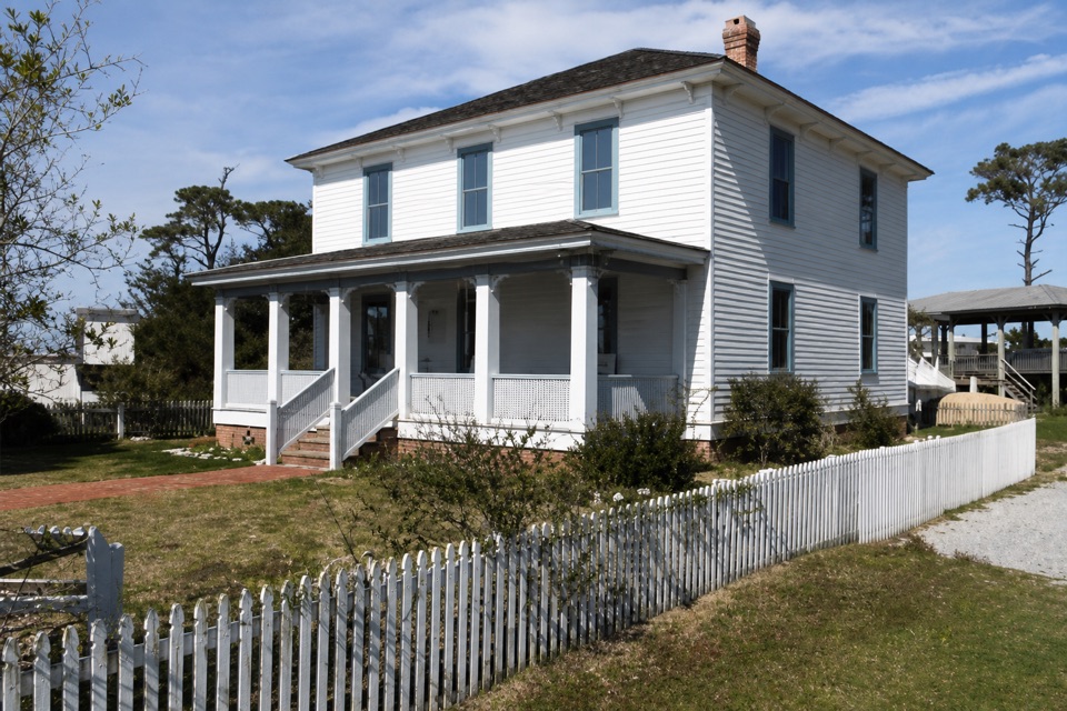 Sight · 0.1 mi awayOcracoke Preservation Society MuseumOcracoke history inside a restored home from around 1900.
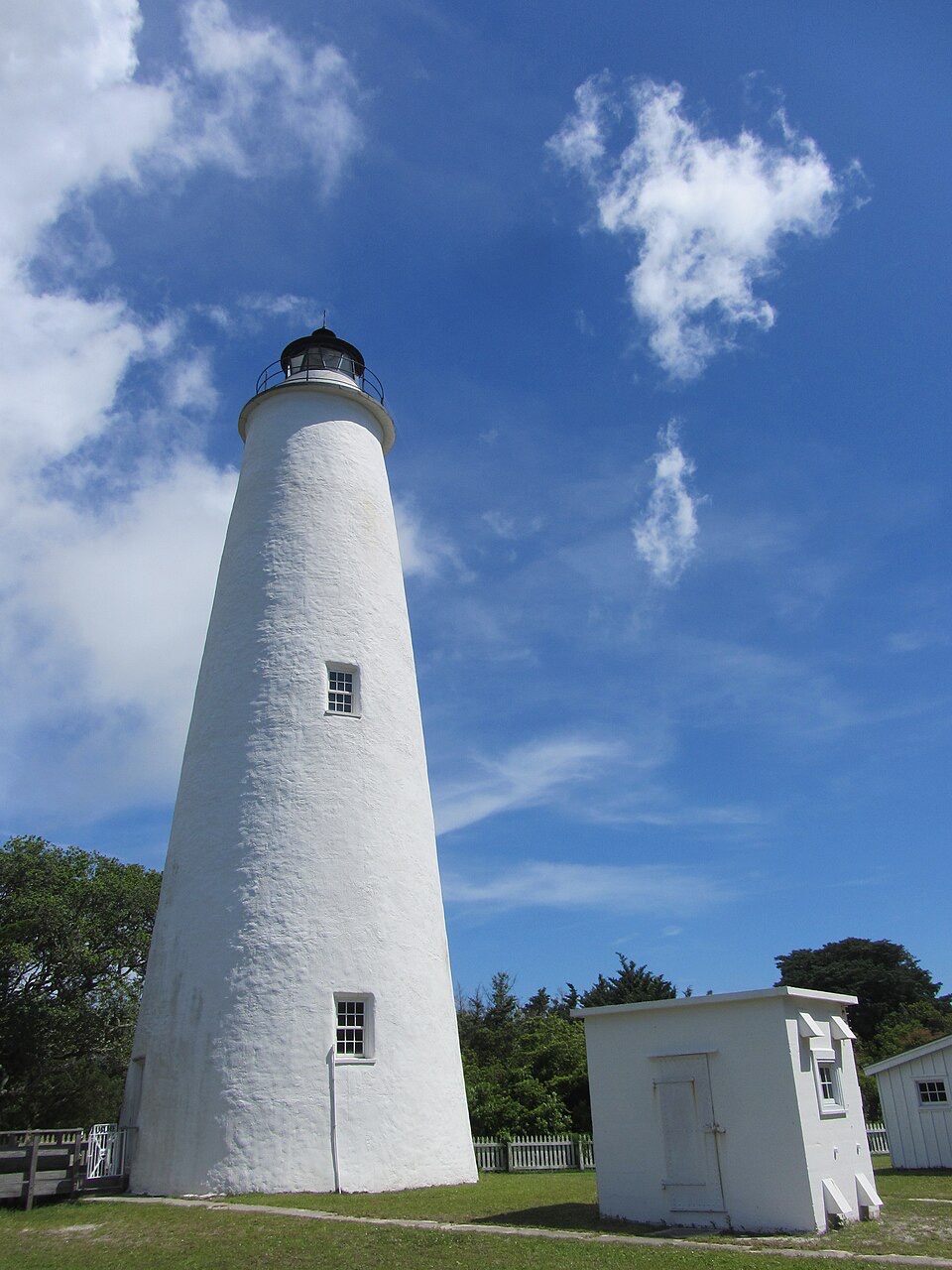 Sight · 0.5 mi awayOcracoke LighthouseA working 1820s lighthouse, an easy walk from the village.
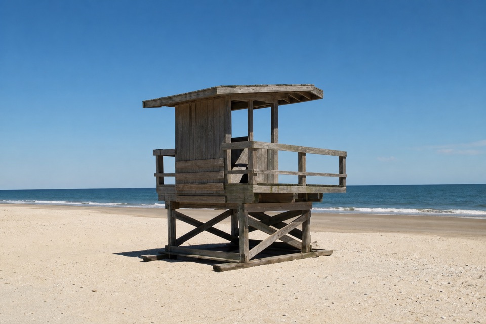 Beach · 2 mi awayOcracoke BeachA boardwalk leads to a warmer Atlantic beach with summer lifeguards.
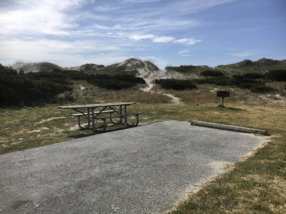 Campground · 3.9 mi awayOcracoke CampgroundCamp behind the dunes, with the Atlantic a short walk away.
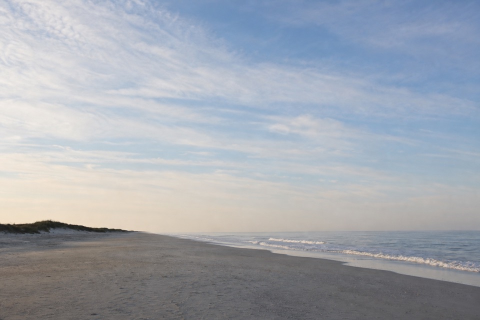 Beach · 6.9 mi awayPony Pasture BeachA boardwalk crosses the dunes to Ocracoke’s Atlantic shore.
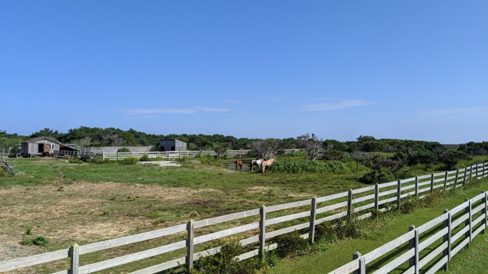 Sight · 6.9 mi awayOcracoke Pony PensTwo raised decks offer an easy chance to spot Ocracoke's horses.
Parkwolf’s Cape Hatteras ranking

The audio tour guide for the drive, plus offline maps, trails, and wildlife heatmaps for when the signal drops.