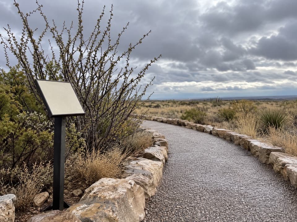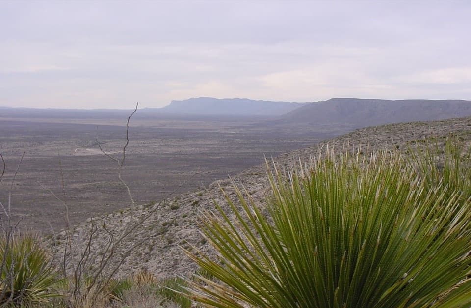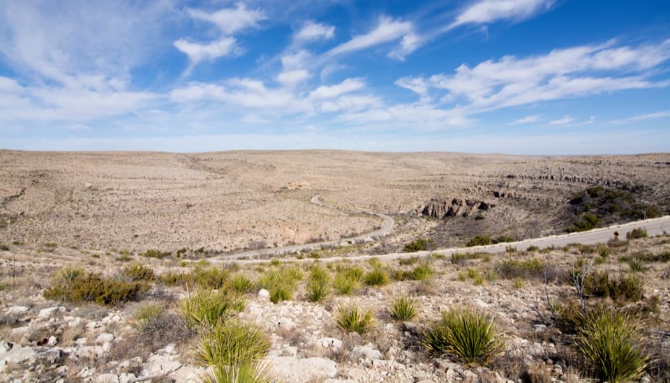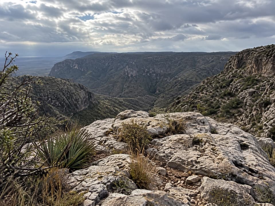
Ussery Trail in Carlsbad Caverns National Park

Carlsbad Caverns National Park, NM

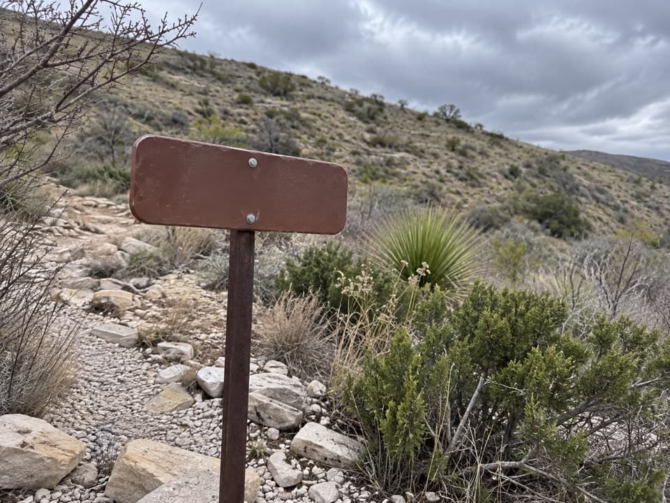
Ussery Trail

A steep, faint route into Carlsbad Caverns’ remote southwest corner.

Length
4mi
Time
4.5hr
Elev. change
1,736ft
Difficulty
Challenging
  • No dogs
  • High point 6,499 ft
Parkwolf audio tour26 stories across Carlsbad Caverns’s roads

Overview

About Ussery Trail

Heads up

  • Poorly marked, with a roughly 1,700-foot climb on the return.
  • No dependable water or verified parking area at the remote access.

Map & elevation

The route

Loading the Carlsbad Caverns map
Full map
Elevation4,764–6,499 ft
TrailheadUssery Jeep Trail at Wild Cow Mesa32.06031, -104.68980
Keep this map with you offline in the Parkwolf app

Plan your hike

Before you go

Parking

The route starts at the Ussery Jeep Trail on Wild Cow Mesa, on the Lincoln National Forest side. No designated lot or exact legal parking spot is documented; confirm where you may park and the current road approach with the Guadalupe Ranger District before driving in.


Safety

This is remote backcountry with a poorly marked trail and no dependable water. Carry a topographic map and compass or GPS you know how to use. The return climbs about 1,700 feet. Obtain a free backcountry-use permit from the Visitor Center; pets are not permitted. Summer heat and winter ice or snow can be hazardous.

1 active Carlsbad Caverns alert

  • ClosureFlood-damaged road and trails remain closedWalnut Canyon Desert Drive and three backcountry trail sections remain closed because of extensive damage from the historic August 2022 flood.Official details
Carlsbad Caverns alerts
A park ranger sits on a dash-mounted phone, talking, as Parkwolf’s Tour Guide plays “Army Cutworm Moths: A Grizzly Bear Buffet” on Grand Loop Road below Dunraven Pass in Yellowstone
Parkwolf Tour GuideThe highest, rockiest slopes around here are a summer buffet for grizzly bears.

Carlsbad Caverns Tour Guide

Your drive to Ussery Trail, narrated.

Parkwolf is a GPS audio tour guide for Carlsbad Caverns National Park. As you drive, it chimes in with what’s ahead: hidden gems, upcoming stops, history, geology, and wildlife, right through your car’s speakers.

  • 26 audio storiesacross Carlsbad Caverns’s roads, triggered by GPS as you drive
  • Wildlife heatmapsfor Mexican Free-tailed Bat, Aoudad, Mule Deer, and 13 more
  • Works offlinemaps, 12 trails, 12 places, and audio download before you lose signal
  • CarPlay readysimple controls built for the drive
★★★★★
“Fantastic app with many points of information… It’s great to just turn on while you’re driving and it gives you an audio tour of the national Park. We love it!!!!”
JMJamesApp Store review
Download Parkwolf on the App StoreGet Parkwolf on Google Play

4.7 from 8,600+ ratings

Trail guide

Hiking Ussery Trail

The routeUssery Trail is a remote out-and-back from the Lincoln National Forest side into the southwest…

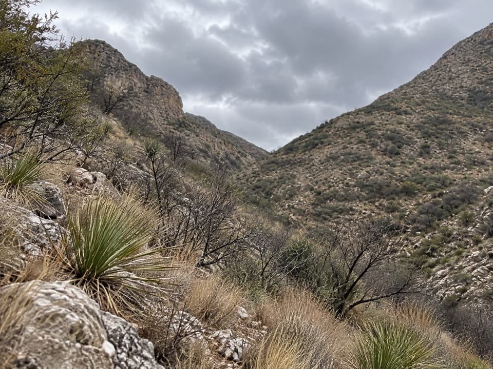
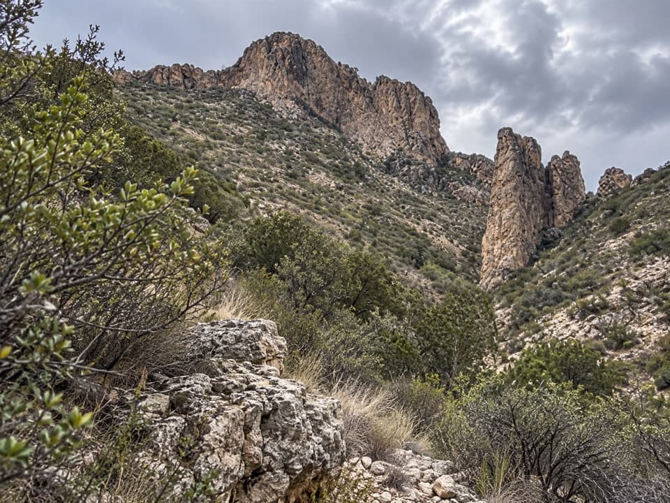
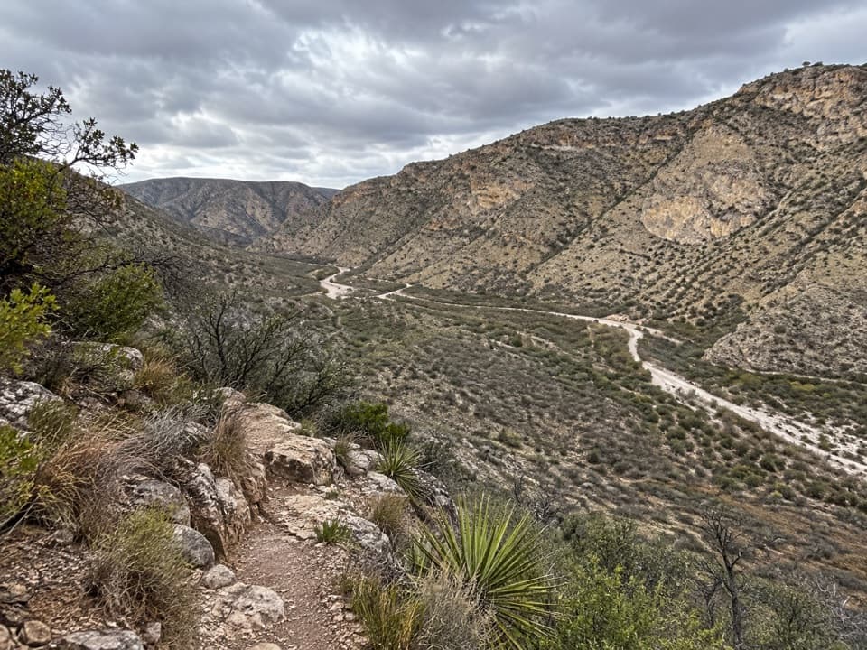
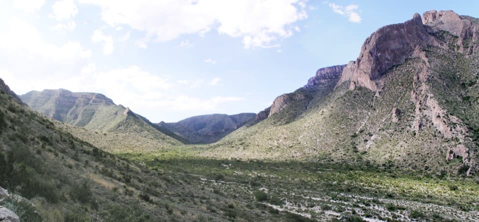
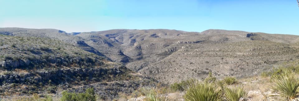
Ussery Trail is a remote out-and-back from the Lincoln National Forest side into the southwest corner of Carlsbad Caverns. Plan on about 4 miles round-trip, roughly 2 miles each way from the Ussery Jeep Trail at Wild Cow Mesa to the park’s southern boundary. The route includes about 0.4 mile of forest-side approach and 1.6 miles inside the park. Turn around at the boundary; land beyond it is private.

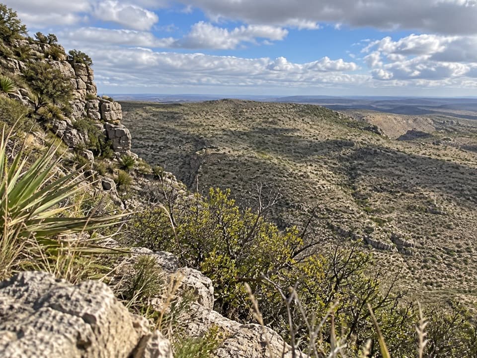
A steep, faint backcountry walkThe route drops about 1,700 feet on the way in, then climbs almost all of it back to the start.

The route drops about 1,700 feet on the way in, then climbs almost all of it back to the start. The footpath is poorly marked, so bring a topographic map and compass or GPS and know how to use them. There is no dependable water. Allow about 4 to 5 hours. Summer heat and winter ice or snow can make the hike hazardous.

Access and rulesAccess is remote.

Access is remote. No designated parking area or exact legal parking spot is documented at the Wild Cow Mesa access, so confirm where to park and the road conditions with the Guadalupe Ranger District before driving in. A free backcountry-use permit is required from the Visitor Center. Pets are not allowed on backcountry hikes.

Wildlife

Wildlife in Carlsbad Caverns

All Carlsbad Caverns wildlife maps

Sighting maps show where each species has been reported across Carlsbad Caverns. Wildlife moves, so no sighting is guaranteed.

Parkwolf’s Carlsbad Caverns ranking

Top-rated trails in Carlsbad Caverns

All 12 trails
  1. 1Chihuahuan Desert Nature TrailEasy · 0.8 mi
  2. 2Slaughter Canyon Cave TrailChallenging · 1 mi
  3. 3Old Guano TrailModerate · 4.2 mi
  4. 4Walnut Canyon Overlook TrailEasy · 0.2 mi
  5. 5Upper Rattlesnake Canyon to Guadalupe Ridge LoopModerate · 6 mi
  6. 6Yucca Canyon TrailChallenging · 15.4 mi

Take Parkwolf to Carlsbad Caverns.

The audio tour guide for the drive, plus offline maps, trails, and wildlife heatmaps for when the signal drops.

4.7 from 8,600+ ratings

Download Parkwolf on the App StoreGet Parkwolf on Google Play