Parking
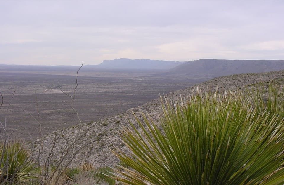
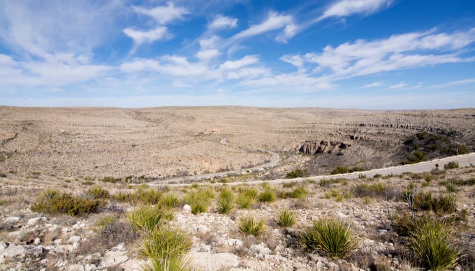
The start is at the end of the westbound dirt road where Slaughter Canyon Road crosses the park boundary; high clearance or four-wheel drive is recommended. A developed lot is not documented.
Carlsbad Caverns National Park, NM
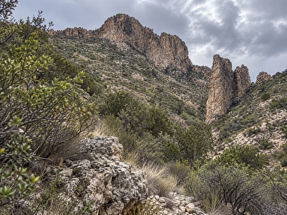
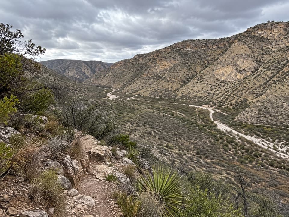
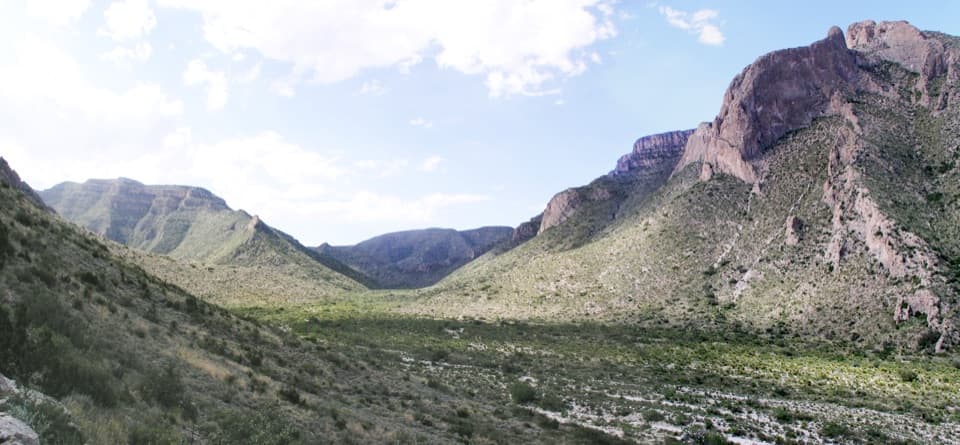
A long backcountry branch drops from Yucca Canyon’s high plateau.
Overview
Map & elevation
Plan your hike

The highest, rockiest slopes around here are a summer buffet for grizzly bears.
Carlsbad Caverns Tour Guide
Parkwolf is a GPS audio tour guide for Carlsbad Caverns National Park. As you drive, it chimes in with what’s ahead: hidden gems, upcoming stops, history, geology, and wildlife, right through your car’s speakers.
Recorded for this trailhead
Yucca Canyon Access Road“You're approaching the dirt-road access for Yucca Canyon; the trailhead is farther along at the road's end. High clearance or four-wheel drive is recommended for that drive.”
Plays as you drive up to this trailhead in the Parkwolf Carlsbad Caverns Tour Guide.
More stories near here in the app
“Fantastic app with many points of information… It’s great to just turn on while you’re driving and it gives you an audio tour of the national Park. We love it!!!!”


Trail guide
Double Canyon is a backcountry out-and-back from the end of the Yucca Canyon access road. Follow Yucca Canyon about 5.5 miles to the Double Canyon junction, then continue about 1.9 miles on the mapped Double Canyon line; return the same way for roughly 14.8 miles total. The often-listed 3.7-mile figure covers the branch alone and leaves out the long approach. The park estimates 8.5 hours one way for the similarly long Yucca Canyon route, not this variant, so use about 17 hours as a cautious planning comparison rather than a guaranteed pace. This is a very long day or overnight outing; set a firm turnaround time.
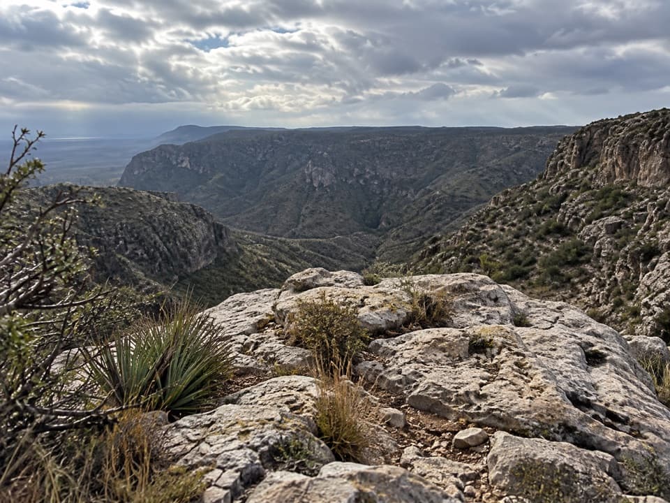
The Yucca Canyon approach climbs quickly to the escarpment and crosses the plateau before the Double Canyon branch descends south toward the canyon. The route reaches roughly 6,150 feet at its high point, then drops to about 4,800 feet at the mapped end. The Double Canyon line follows an old jeep trail shown on historic maps; most backcountry routes here are unmarked, and the mapped endpoint has no confirmed overlook, waterfall, or built destination. Older descriptions of a short Double Canyon overlook and a separate canyon-floor trip from West Slaughter Canyon to Double Falls describe different variants, not this mapped route.
The walk starts at the end of the westbound dirt road where Slaughter Canyon Road crosses the park boundary; high clearance or four-wheel drive is recommended for that access road. All backcountry users need a free permit from the Visitor Center. There is no reliable water in the backcountry, so carry at least one gallon per person per day. Expect extreme summer heat, possible winter ice or snow, flash-flood risk, and limited cell reception. Bring and know how to use a topographic map with a compass or GPS, and do not rely on a phone for navigation or emergency help. Pets are not permitted in the backcountry.
Wildlife
 48 sightingsMexican Free-tailed BatMost seen around 8 PMSighting map
 175 sightingsAoudadMost seen around 6 PMSighting map
 38 sightingsMule DeerMost seen around 7 PMSighting map
 86 sightingsWild TurkeyMost seen around 7 AMSighting map
 33 sightingsCollared PeccaryMost seen around 7 PMSighting map
 52 sightingsLargemouth BassMost seen around 7 PMSighting map
Sighting maps show where each species has been reported across Carlsbad Caverns. Wildlife moves, so no sighting is guaranteed.
Keep exploring
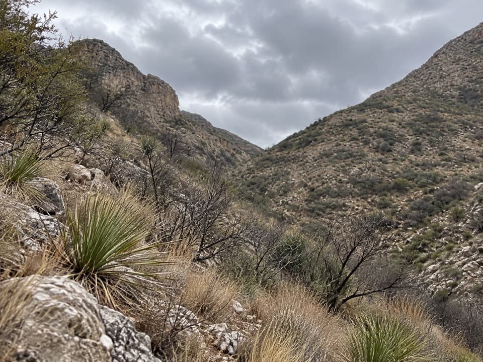 ChallengingYucca Canyon Trail15.4 mi · 17 hr · At the trailheadA remote climb to a sheer rim above Big Canyon.
 ChallengingSlaughter Canyon Cave Trail1 mi · 1.5 hr · 1.6 mi awayA rugged half-mile ascent to a cave only entered on ranger tours.
 ChallengingNorth Slaughter Canyon Trail5.3 mi · 7 hr · 1.7 mi awayA remote, exposed 5.3-mile climb to the Guadalupe Ridge Trail.
 ModerateLower Rattlesnake Canyon Trail3 mi · 3 hr · 6.3 mi awayA rocky canyon path starts beyond marker four.
 ChallengingUssery Trail4 mi · 4.5 hr · 6.6 mi awayA steep, faint route into Carlsbad Caverns’ remote southwest corner.
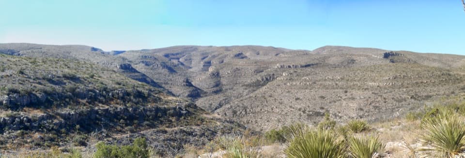 ModerateUpper Rattlesnake Canyon to Guadalupe Ridge Loop6 mi · 4 hr · 6.8 mi awayA canyon wash, steep bluff climb, and a ridge-and-road loop.
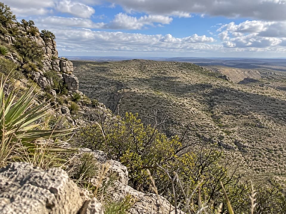 ChallengingGuadalupe Ridge Trail12 mi · 14 hr · 7.4 mi awayA full-day ridge traverse with sweeping desert views.
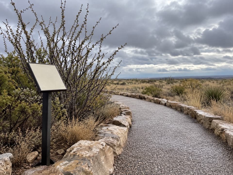 EasyChihuahuan Desert Nature Trail0.8 mi · 30 min · 10.1 mi awayA short desert loop with plant markers and broad views.
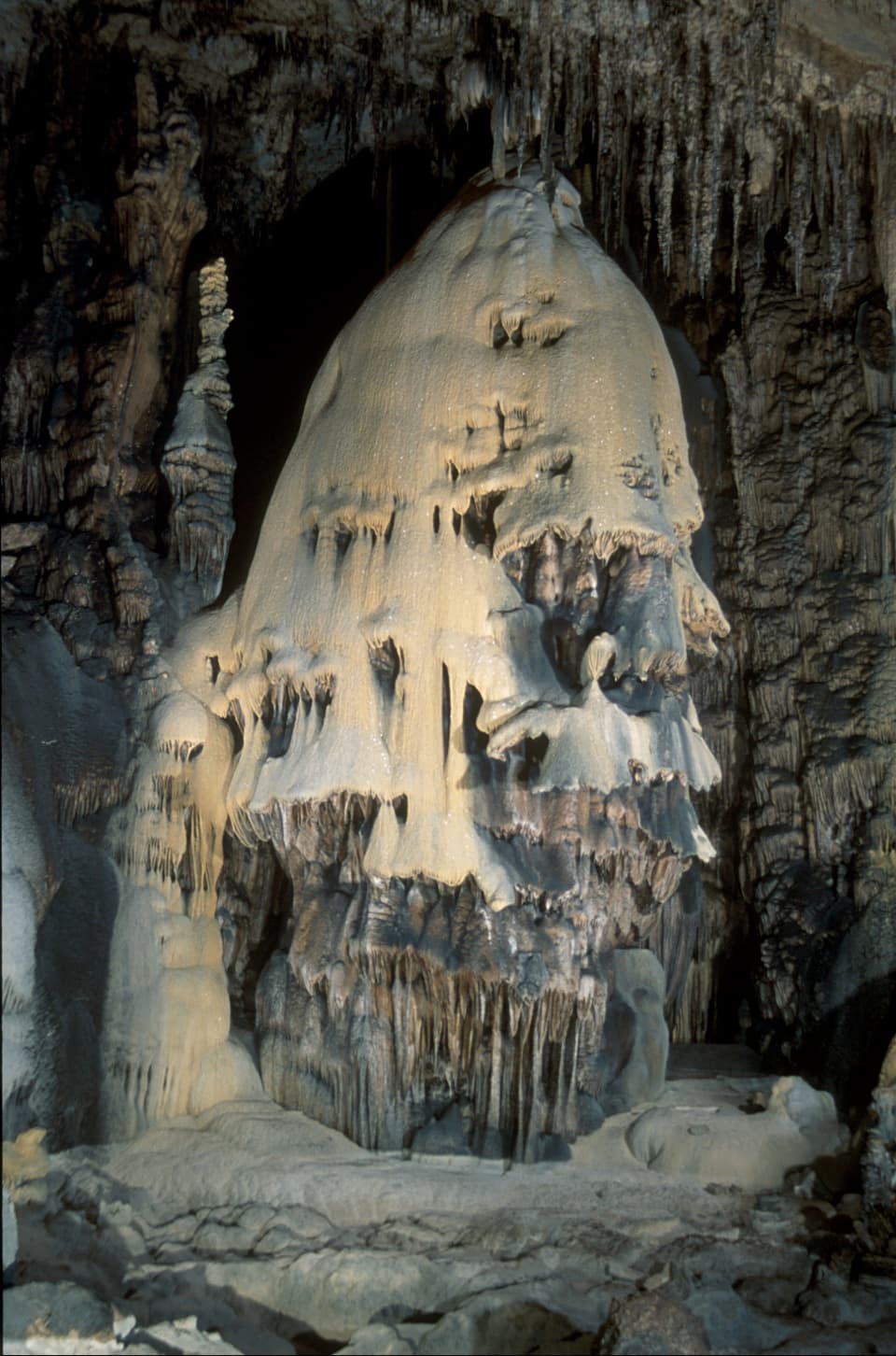 Sight · 1.4 mi awaySlaughter Canyon CaveA half-mile climb to a rugged cave of landmark formations.
 Picnic area · 7.2 mi awayRattlesnake SpringsCottonwood shade, picnic tables, and a surprisingly rich birding stop.
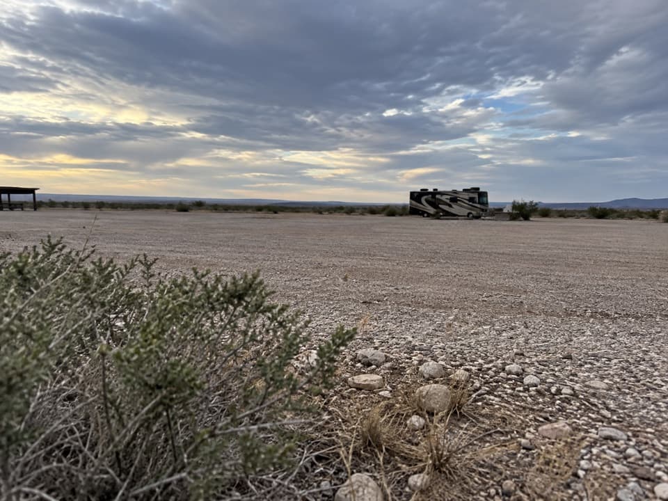 Campground · 9.1 mi awayChosa CampgroundA practical dry-camping base with dark skies between two parks.
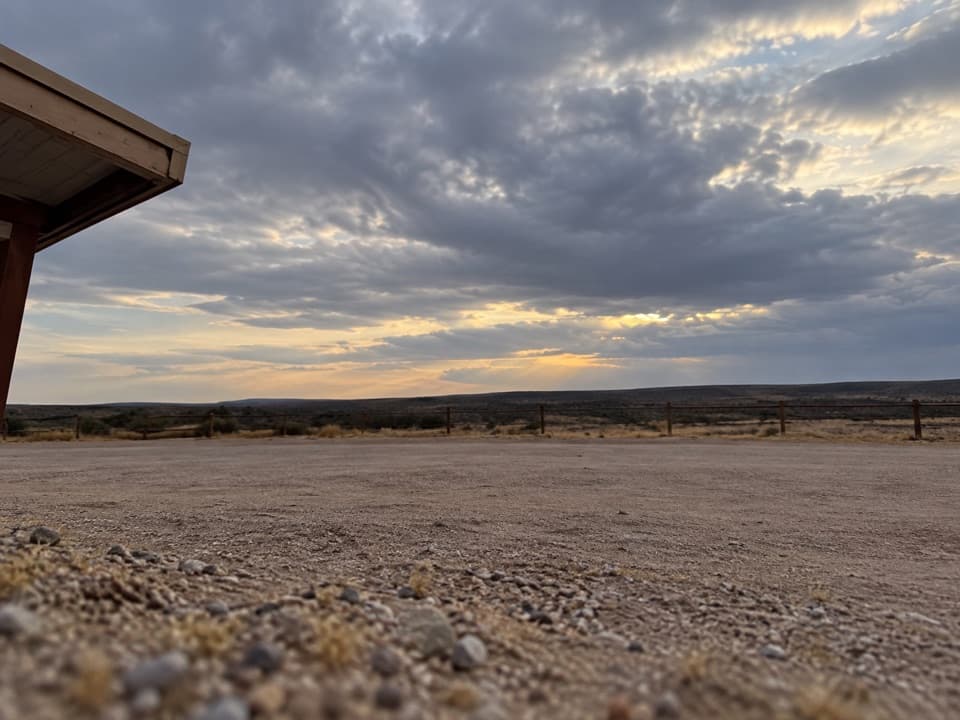 Campground · 9.6 mi awaySunset Reef CampgroundA useful dry-camping base between two national parks.
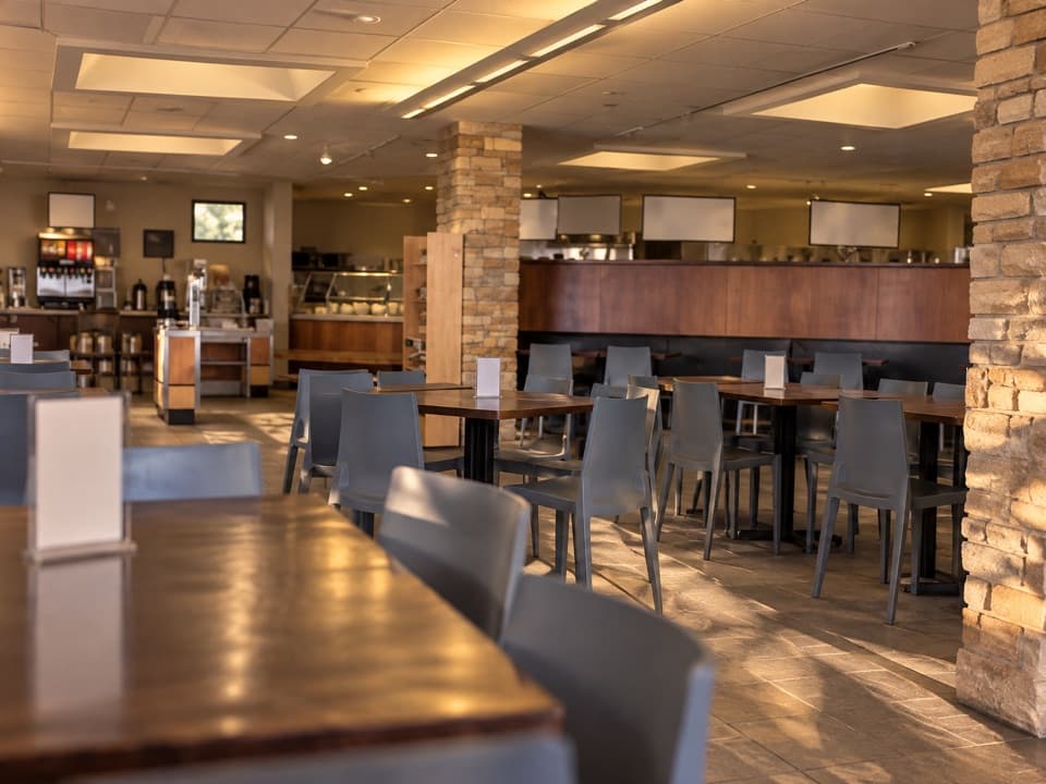 Restaurant · 9.9 mi awayCarlsbad Caverns Trading Company RestaurantA handy visitor-center meal before or after exploring the cavern.
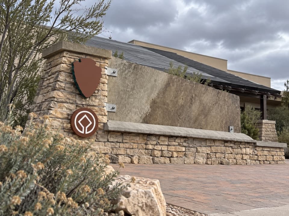 Visitor center · 9.9 mi awayCarlsbad Caverns Visitor CenterA hands-on start above ground before the cavern below.
Parkwolf’s Carlsbad Caverns ranking

The audio tour guide for the drive, plus offline maps, trails, and wildlife heatmaps for when the signal drops.