North Slaughter Canyon Trail in Carlsbad Caverns National Park

#7 of 12 trails in Carlsbad Caverns

Carlsbad Caverns National Park, NM

North Slaughter Canyon Trail

A remote, exposed 5.3-mile climb to the Guadalupe Ridge Trail.

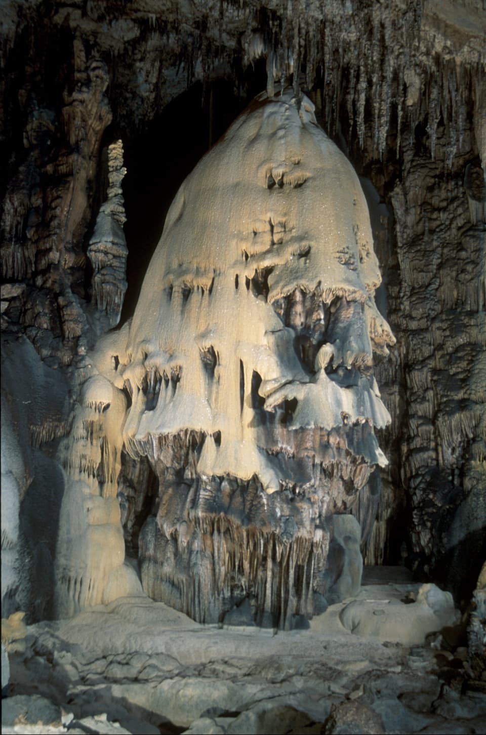
Photo: Wikimedia Commons
Length
5.3mi
Time
7hr
Elev. change
1,888ft
Difficulty
Challenging
  • No dogs
  • High point 6,097 ft

Hear the audio tour

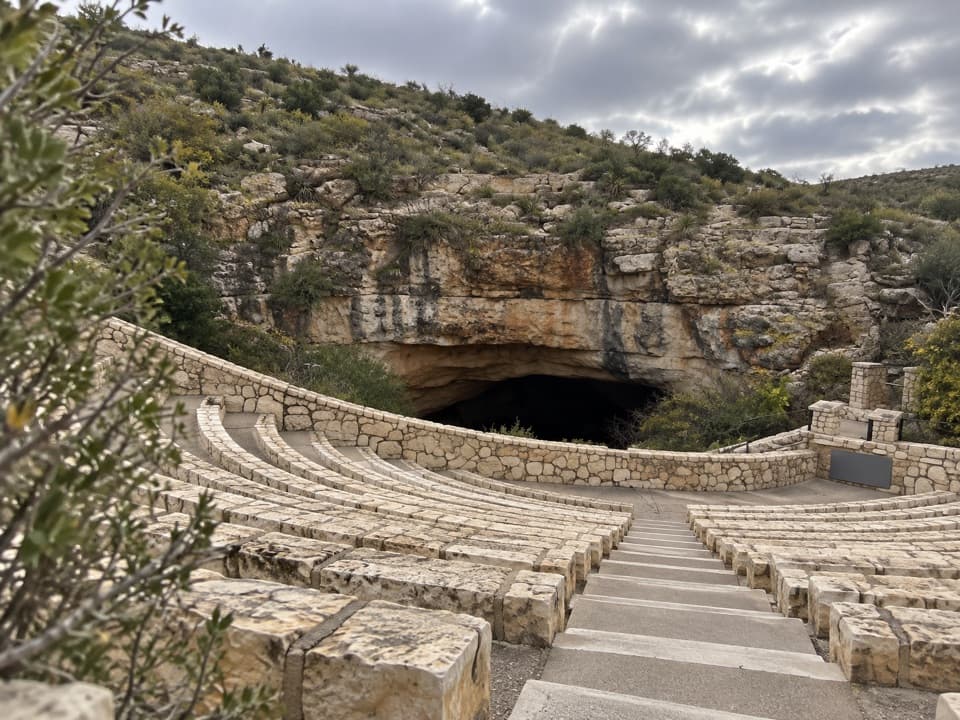
Slaughter Canyon Cave Approach

Overview

About North Slaughter Canyon Trail

Why go

  • Pale limestone washes lead to a high ridge above the canyon forks
  • The upper saddle looks into the tight, winding Middle Slaughter Canyon

Heads up

  • Cairns and side routes make the canyon crossings easy to misread
  • The exposed one-way distance and lack of dependable water demand a full backcountry plan

Map & elevation

The route

Loading the Carlsbad Caverns map
Full map
Elevation4,208–6,097 ft
TrailheadSlaughter Canyon parking area32.11044, -104.56272
Keep this map with you offline in the Parkwolf app

Plan your hike

Before you go

Parking

From US 180, follow Washington Ranch Road, Collwell Ranch Road and Gartersnake Road to Slaughter Canyon parking; the final mile is gravel, with junctions signed toward the cave. Start on the long North Slaughter Canyon route, not the separate cave trail.

Safety

Narrow, rocky and steep, with cairn-marked crossings that can be hard to follow. The exposed canyon has no dependable water and is vulnerable to flash flooding; summer heat can exceed 100°F. A free overnight backcountry permit is required. No pets.

1 active Carlsbad Caverns alert

  • ClosureFlood-damaged road and trails remain closedWalnut Canyon Desert Drive and three backcountry trail sections remain closed because of extensive damage from the historic August 2022 flood.Official details
Carlsbad Caverns alerts
A park ranger sits on a dash-mounted phone, talking, as Parkwolf’s Tour Guide plays “Army Cutworm Moths: A Grizzly Bear Buffet” on Grand Loop Road below Dunraven Pass in Yellowstone
Parkwolf Tour GuideThe highest, rockiest slopes around here are a summer buffet for grizzly bears.

Carlsbad Caverns Tour Guide

Your drive to North Slaughter Canyon Trail, narrated.

Parkwolf is a GPS audio tour guide for Carlsbad Caverns National Park. As you drive, it chimes in with what’s ahead: hidden gems, upcoming stops, history, geology, and wildlife, right through your car’s speakers.

Recorded for this trailhead

Slaughter Canyon Cave Approach
0:00 / 0:36
“You're nearing the Slaughter Canyon trailhead, where a steep half-mile climb leads to Slaughter Canyon Cave.”

Plays as you drive up to this trailhead in the Parkwolf Carlsbad Caverns Tour Guide.

More stories near here in the app

  • Yucca Canyon Access Road
  • The Pictures That Brought Visitors
  • Mud Nests at the Cave Mouth
  • Water from a Seed
  • 26 audio storiesacross Carlsbad Caverns’s roads, triggered by GPS as you drive
  • Wildlife heatmapsfor Mexican Free-tailed Bat, Aoudad, Mule Deer, and 13 more
  • Works offlinemaps, 12 trails, 12 places, and audio download before you lose signal
  • CarPlay readysimple controls built for the drive
★★★★★
“Fantastic app with many points of information… It’s great to just turn on while you’re driving and it gives you an audio tour of the national Park. We love it!!!!”
JMJamesApp Store review
Download Parkwolf on the App StoreGet Parkwolf on Google Play

4.7 from 8,600+ ratings

Trail guide

Hiking North Slaughter Canyon Trail

Know what you’re taking onNorth Slaughter Canyon Trail is a 5.

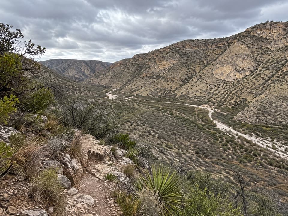
North Slaughter Canyon Trail is a 5.3-mile, one-way backcountry route from Slaughter Canyon parking to the Guadalupe Ridge Trail junction. It follows a broad desert wash, then climbs a rocky ridge between the north and middle forks, with roughly 1,850 feet of elevation change. Allow about seven hours to reach the junction. This is not a loop; returning to the same lot makes it roughly 10.6 miles and about 14 hours at that one-way estimate. Treat it as a serious point-to-point hike, not a quick canyon walk.

This is the long canyon-to-ridge route, not Slaughter Canyon Cave Trail. The cave trail is a separate, steep half-mile climb to the cave entrance and branches west near the parking area.

Follow the washThe route leaves the lot through brush and enters the wide canyon floor.

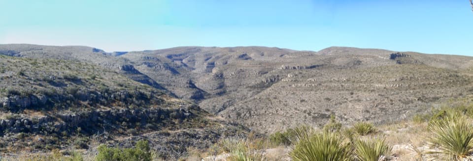
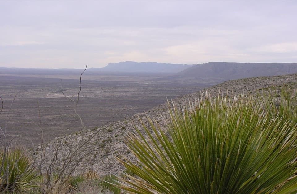
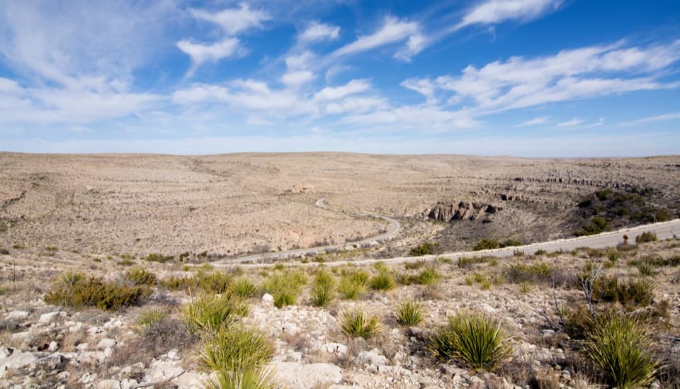
The route leaves the lot through brush and enters the wide canyon floor. For about two miles, it crosses the dry wash repeatedly, passing mesquite, green sotol and stretches of pale limestone pebbles. Cairns mark the crossings, but smaller cairn lines can lead toward side routes. At the forks, keep to North Slaughter Canyon; Middle Slaughter joins from the left. The North Fork narrows as you continue.

The rocky climbNear the end of the canyon floor, tinajas—natural potholes—and water-carved channels cut…

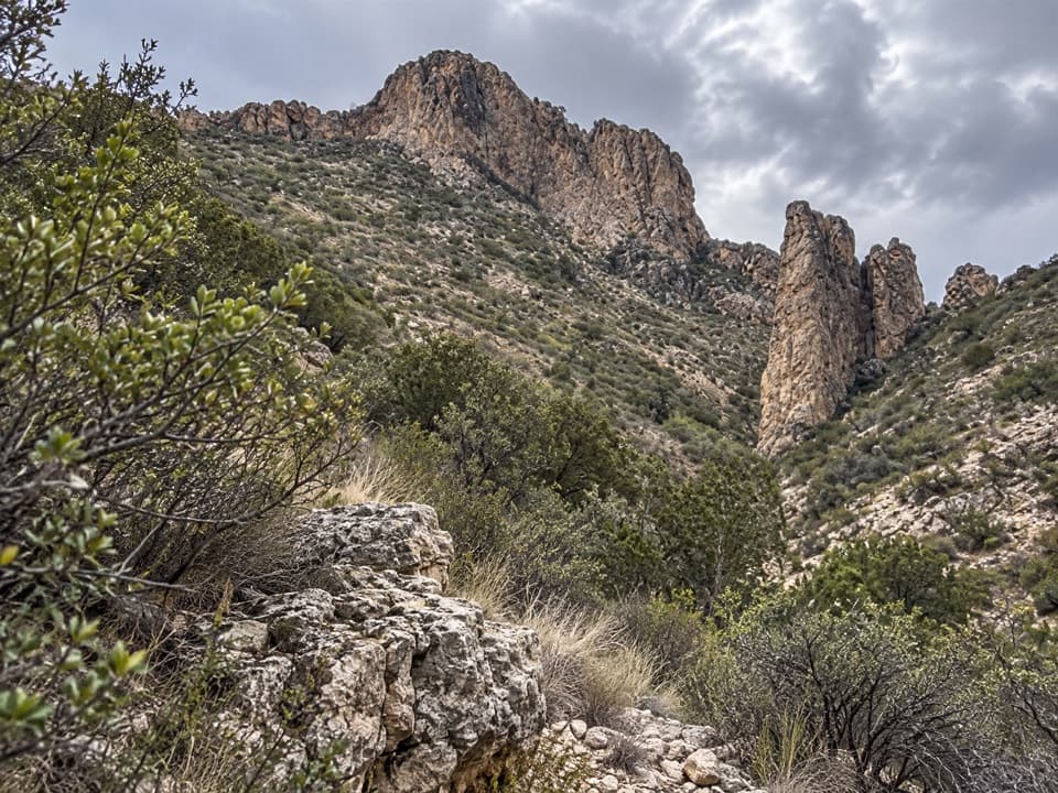
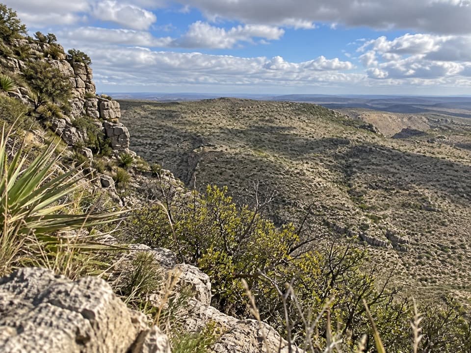
Near the end of the canyon floor, tinajas—natural potholes—and water-carved channels cut through white limestone. The route then climbs steeply out of the wash and gains about 1,000 feet over roughly a mile along the ridge separating the two forks. The tread is narrow and rocky, and the exposed climb is the hard part of the day.

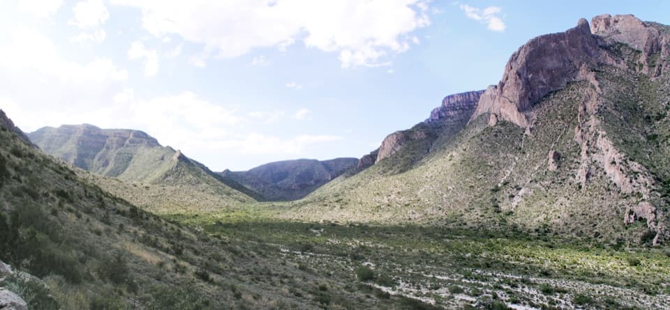
Finish on the ridgeA higher saddle opens the first broad view down into Middle Slaughter Canyon, a tighter, more…

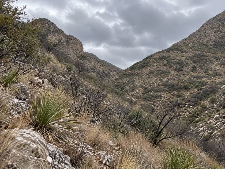
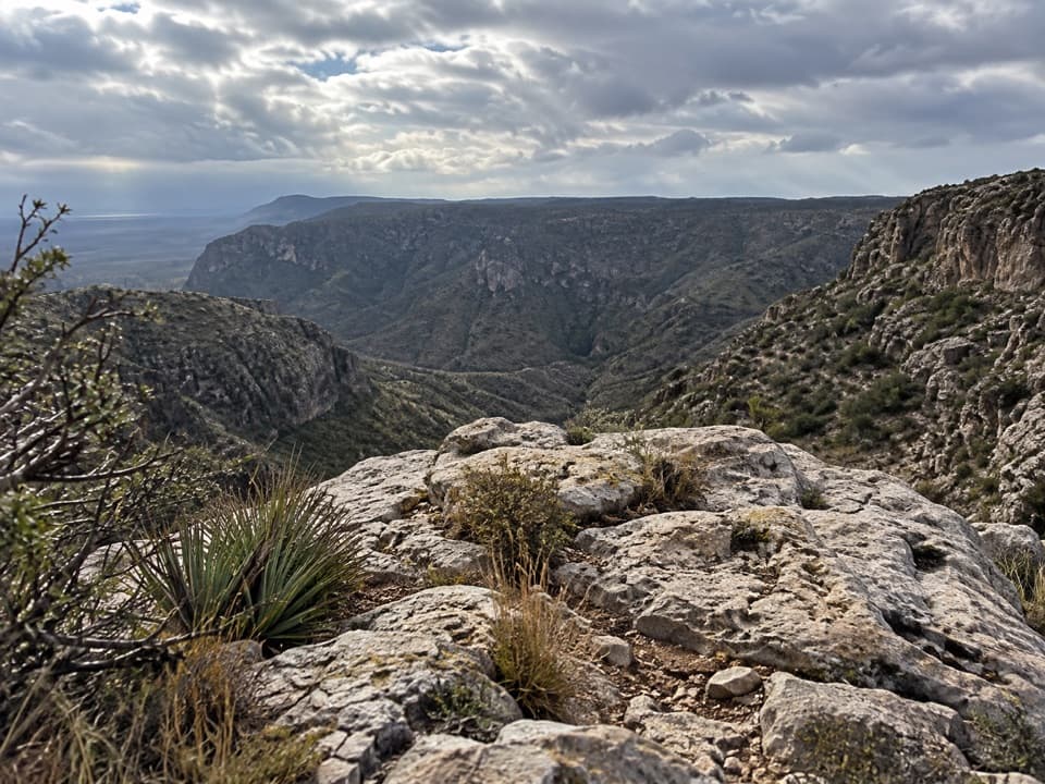
A higher saddle opens the first broad view down into Middle Slaughter Canyon, a tighter, more winding drainage than the North Fork. The final approach rises and dips over several small high points before reaching the Guadalupe Ridge Trail. The path levels near the junction and is less traveled above the main climb. From the saddle, look south into Middle Slaughter; the bends and steep walls make the route’s defining view.

Heat, water and permitsThis is exposed desert backcountry with no dependable water source along the route.

This is exposed desert backcountry with no dependable water source along the route. Summer heat can exceed 100°F, and the canyon wash is vulnerable to flash flooding. In summer, the park advises hiking before 10 a.m. or after 5 p.m.; check conditions before setting out. The park lists the trail as year-round, but winter ice or snow can still affect travel. Any overnight backcountry stay requires a free permit from the visitor center during business hours. Pets are not allowed on this trail.

Wildlife

Wildlife in Carlsbad Caverns

All Carlsbad Caverns wildlife maps

Sighting maps show where each species has been reported across Carlsbad Caverns. Wildlife moves, so no sighting is guaranteed.

Keep exploring

Near North Slaughter Canyon Trail

See it all on the map

Trails that start nearby

Places near the trailhead

Parkwolf’s Carlsbad Caverns ranking

Top-rated trails in Carlsbad Caverns

All 12 trails
  1. 1Chihuahuan Desert Nature TrailEasy · 0.8 mi
  2. 2Slaughter Canyon Cave TrailChallenging · 1 mi
  3. 3Old Guano TrailModerate · 4.2 mi
  4. 4Walnut Canyon Overlook TrailEasy · 0.2 mi
  5. 5Upper Rattlesnake Canyon to Guadalupe Ridge LoopModerate · 6 mi
  6. 6Yucca Canyon TrailChallenging · 15.4 mi

Take Parkwolf to Carlsbad Caverns.

The audio tour guide for the drive, plus offline maps, trails, and wildlife heatmaps for when the signal drops.

4.7 from 8,600+ ratings

Download Parkwolf on the App StoreGet Parkwolf on Google Play