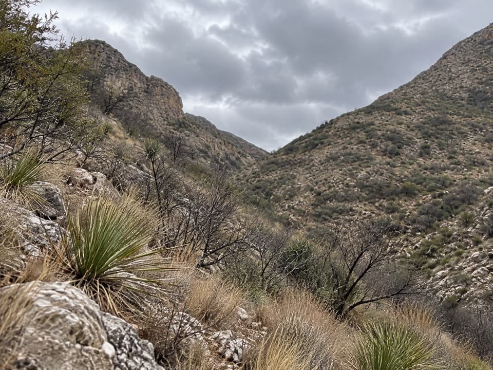
Old Guano Trail in Carlsbad Caverns National Park

#3 of 12 trails in Carlsbad Caverns

Carlsbad Caverns National Park, NM

Old Guano Trail

Follow the cavern’s old guano road down to White’s City.

Photo: National Park Service
Length
4.2mi
Time
2.3hr
Elev. change
738ft
Difficulty
Moderate
  • No dogs
  • High point 4,400 ft

Hear the audio tour

Carlsbad Cavern and the Visitor Center

Overview

About Old Guano Trail

Why go

  • Early-1900s mining remains, stone culverts and quarry traces along the road.
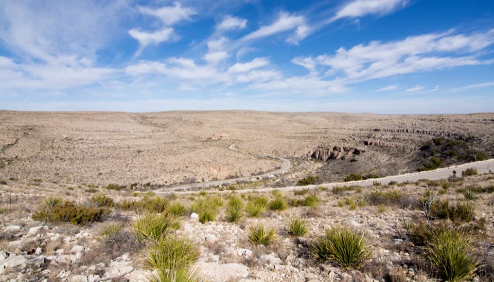
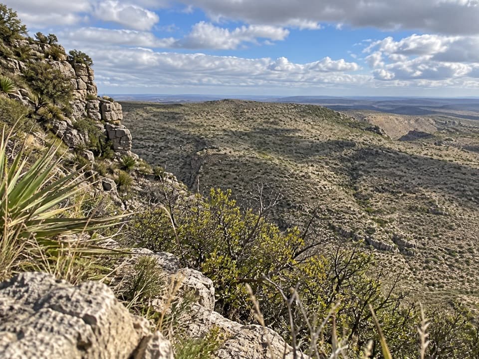
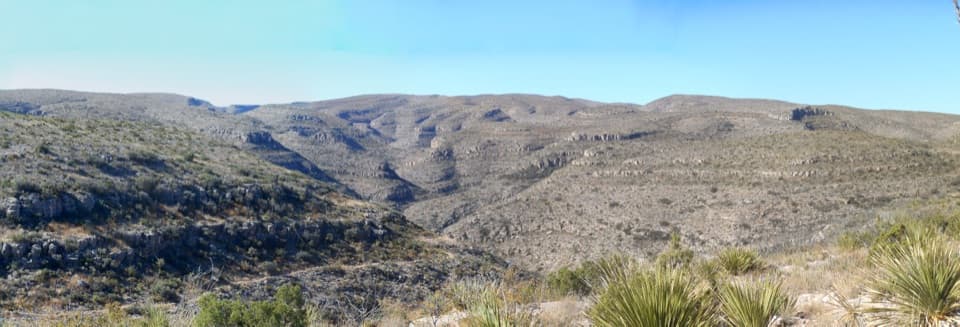
  • Broad desert and mountain views from the escarpment.

Heads up

  • Point-to-point finish needs a pickup or an 8.5-mile return walk.
  • Steep finish, no reliable water and severe summer heat.

Map & elevation

The route

Loading the Carlsbad Caverns map
Full map
Elevation3,661–4,400 ft
TrailheadCarlsbad Cavern Natural Entrance32.17708, -104.44103
Keep this map with you offline in the Parkwolf app

Plan your hike

Before you go

Parking

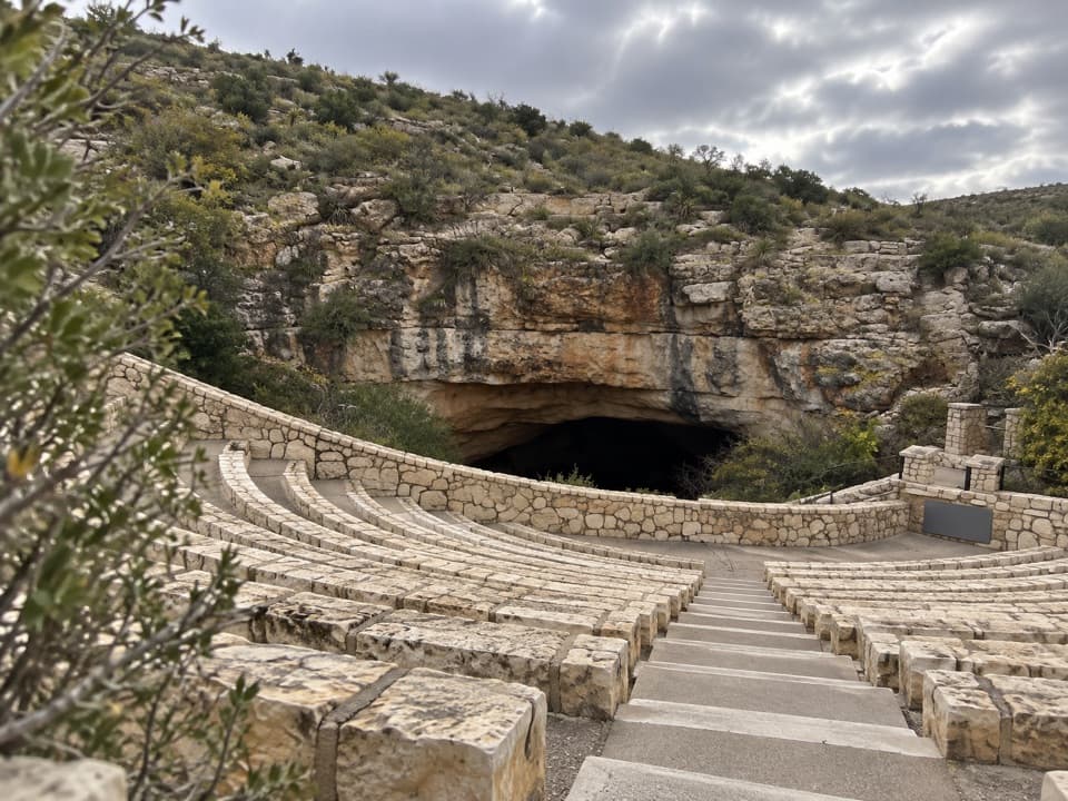
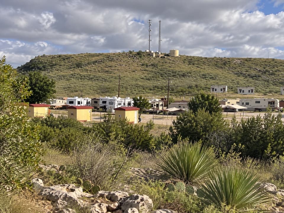
Park at the Carlsbad Caverns Visitor Center, then walk to the Natural Entrance area; the trail begins beside the entrance near the Bat Flight Amphitheater. The route ends at White’s City campground. Arrange a pickup before starting or plan to retrace the trail; no official return option was verified.

Safety

The trail is closed near the Natural Entrance during Bat Flight Programs. NPS warns of summer heat above 100°F, winter ice or snow, lightning, flash floods, limited cell reception and no reliable backcountry water. Arrange your return before starting this point-to-point route.

1 active Carlsbad Caverns alert

  • ClosureFlood-damaged road and trails remain closedWalnut Canyon Desert Drive and three backcountry trail sections remain closed because of extensive damage from the historic August 2022 flood.Official details
Carlsbad Caverns alerts
A park ranger sits on a dash-mounted phone, talking, as Parkwolf’s Tour Guide plays “Army Cutworm Moths: A Grizzly Bear Buffet” on Grand Loop Road below Dunraven Pass in Yellowstone
Parkwolf Tour GuideThe highest, rockiest slopes around here are a summer buffet for grizzly bears.

Carlsbad Caverns Tour Guide

Your drive to Old Guano Trail, narrated.

Parkwolf is a GPS audio tour guide for Carlsbad Caverns National Park. As you drive, it chimes in with what’s ahead: hidden gems, upcoming stops, history, geology, and wildlife, right through your car’s speakers.

Recorded for this trailhead

Carlsbad Cavern and the Visitor Center
0:00 / 0:49
“You're approaching Carlsbad Cavern and its visitor center, where the Big Room spreads across more than eight acres underground.”

Plays as you drive up to this trailhead in the Parkwolf Carlsbad Caverns Tour Guide.

More stories near here in the app

  • Walnut Canyon Overlook
  • Big Hill Seep
  • The Cloud That Wasn’t Smoke
  • Leaves on Demand
  • 26 audio storiesacross Carlsbad Caverns’s roads, triggered by GPS as you drive
  • Wildlife heatmapsfor Mexican Free-tailed Bat, Aoudad, Mule Deer, and 13 more
  • Works offlinemaps, 12 trails, 12 places, and audio download before you lose signal
  • CarPlay readysimple controls built for the drive
★★★★★
“Fantastic app with many points of information… It’s great to just turn on while you’re driving and it gives you an audio tour of the national Park. We love it!!!!”
JMJamesApp Store review
Download Parkwolf on the App StoreGet Parkwolf on Google Play

4.7 from 8,600+ ratings

Trail guide

Hiking Old Guano Trail

The route and the returnOld Guano Trail is a point-to-point walk of about 4.

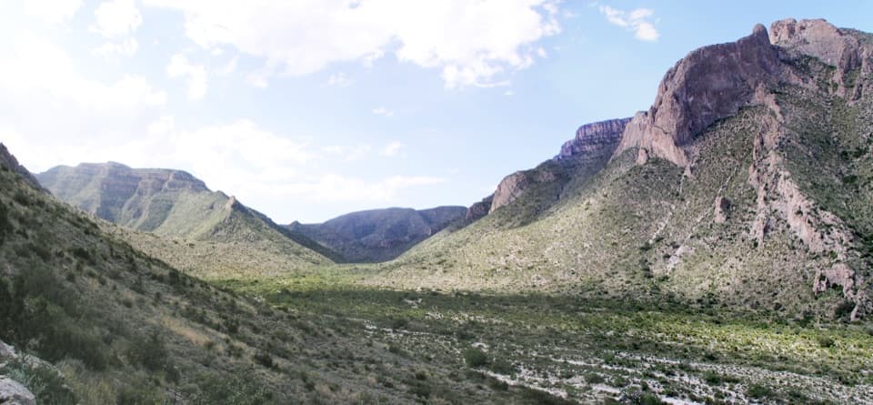
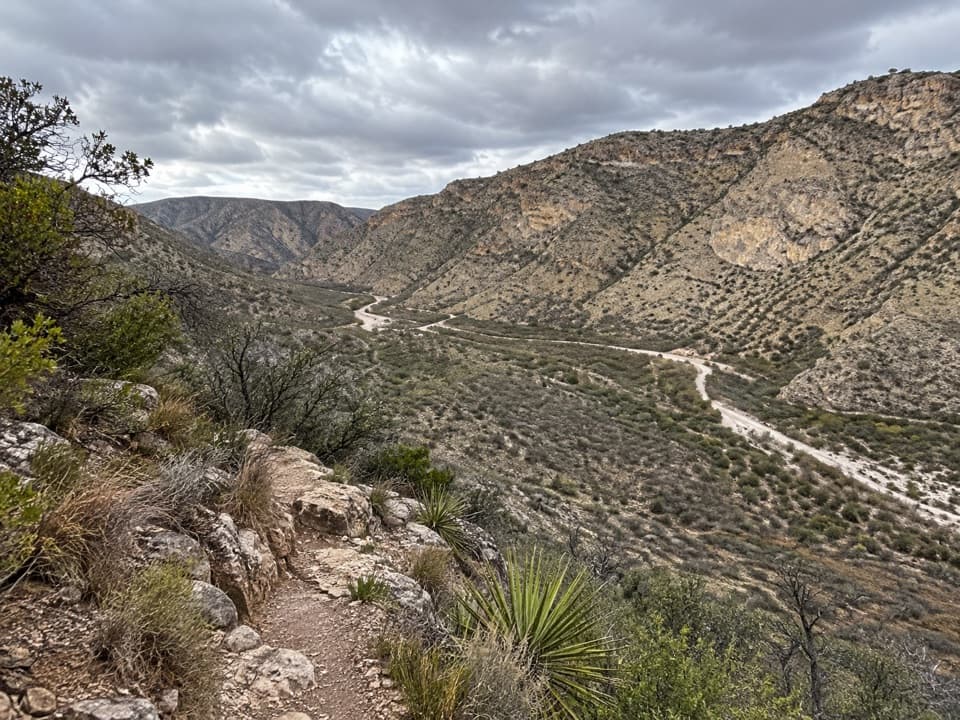
Old Guano Trail is a point-to-point walk of about 4.2 miles one way, from beside Carlsbad Cavern’s Natural Entrance to the White’s City campground. It follows the old haul road down the escarpment, with mining remains and open desert views along the way. The NPS page lists 3.7 miles one way; the mapped entrance-to-campground line measures 4.23. A published out-and-back figure is 7.5 miles, but retracing this mapped line is about 8.5 miles. I’d plan around the longer map distance. The park estimates two hours one way; allow about 2–2½ hours for this line.

This is easiest if you have a ride waiting at White’s City. The NPS trail page does not describe a shuttle or return service. Without a pickup, you’ll have to retrace the route and climb back up the escarpment.

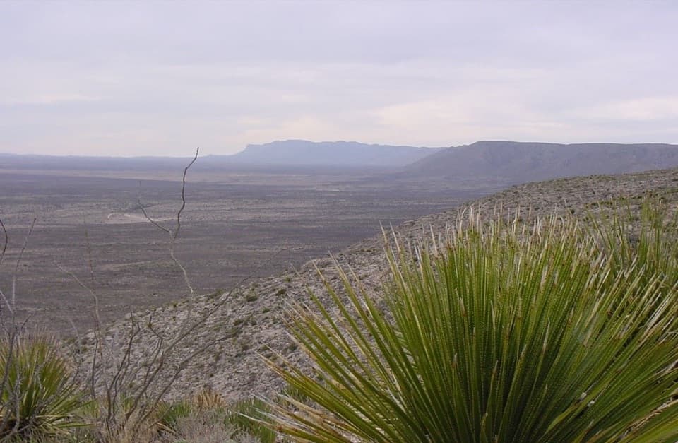
The old guano roadThe trail follows the road used to haul guano from Carlsbad Cavern in the early 1900s.

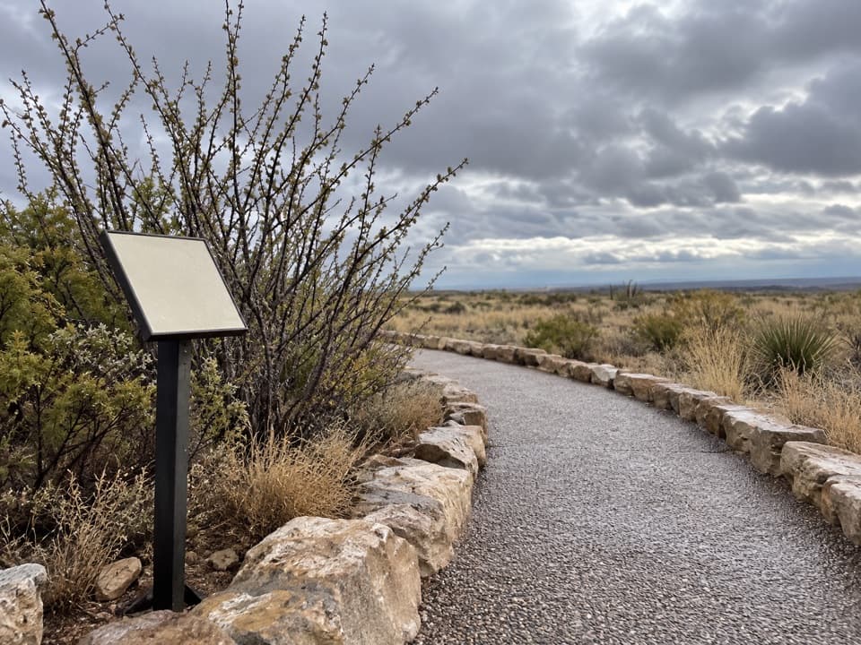
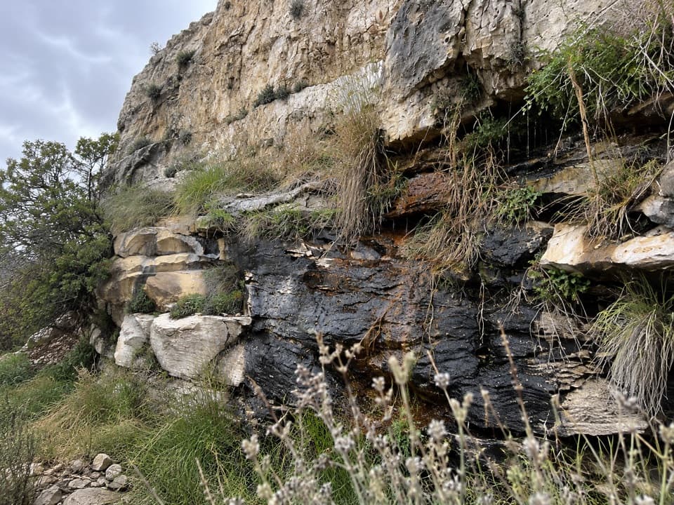
The trail follows the road used to haul guano from Carlsbad Cavern in the early 1900s. About a mile from the entrance, the NPS says you can see mining ruins and debris. The route also passes stone culverts and rock quarries. Guano mining began here in 1903; about 120,000 tons were removed by 1911 for fertilizer used in California citrus groves. That history gives this walk a more unusual payoff than a simple descent through desert.

The descentThe NPS describes the first 2.

The NPS describes the first 2.3 miles as a gradual descent, followed by a steep final stretch; its page says that last 1.4 miles loses 572 feet. The mapped line is longer than the published total, so treat those mile markers as approximate. The elevation profile for the mapped route shows about 700 feet of total descent. If you turn around at White’s City, you climb that back on the return.

Heat, water and accessThis is a backcountry desert walk.

This is a backcountry desert walk. There is no reliable water source along the route, and cell reception is limited. The NPS warns of summer heat above 100°F, winter ice or snow, lightning and flash floods. The route is closed near the Natural Entrance during Bat Flight Programs, and pets are not allowed on park trails. Check the park’s access information before setting out, especially if your plans depend on reaching the entrance during an evening program.

Wildlife

Wildlife in Carlsbad Caverns

All Carlsbad Caverns wildlife maps

Sighting maps show where each species has been reported across Carlsbad Caverns. Wildlife moves, so no sighting is guaranteed.

Keep exploring

Near Old Guano Trail

See it all on the map

Trails that start nearby

Places near the trailhead

Parkwolf’s Carlsbad Caverns ranking

Top-rated trails in Carlsbad Caverns

All 12 trails
  1. 1Chihuahuan Desert Nature TrailEasy · 0.8 mi
  2. 2Slaughter Canyon Cave TrailChallenging · 1 mi
  3. 4Walnut Canyon Overlook TrailEasy · 0.2 mi
  4. 5Upper Rattlesnake Canyon to Guadalupe Ridge LoopModerate · 6 mi
  5. 6Yucca Canyon TrailChallenging · 15.4 mi
  6. 7North Slaughter Canyon TrailChallenging · 5.3 mi

Take Parkwolf to Carlsbad Caverns.

The audio tour guide for the drive, plus offline maps, trails, and wildlife heatmaps for when the signal drops.

4.7 from 8,600+ ratings

Download Parkwolf on the App StoreGet Parkwolf on Google Play