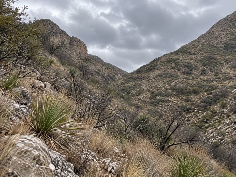
Parking
Rattlesnake Canyon Trailhead is about 0.25 mile past interpretive marker #4 on unpaved Walnut Canyon Desert Drive. Parking capacity and facilities are undocumented.
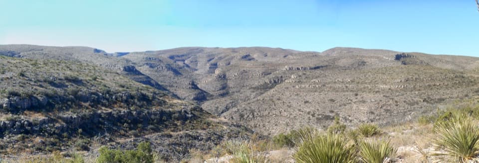
#5 of 12 trails in Carlsbad Caverns
Carlsbad Caverns National Park, NM
A canyon wash, steep bluff climb, and a ridge-and-road loop.
Overview
Map & elevation
Plan your hike

The highest, rockiest slopes around here are a summer buffet for grizzly bears.
Carlsbad Caverns Tour Guide
Parkwolf is a GPS audio tour guide for Carlsbad Caverns National Park. As you drive, it chimes in with what’s ahead: hidden gems, upcoming stops, history, geology, and wildlife, right through your car’s speakers.
Recorded for this trailhead
Rattlesnake Canyon Trailhead“You're nearing the Rattlesnake Canyon trailhead, where the Upper Canyon loop takes you from a canyon-floor wash onto Guadalupe Ridge.”
Plays as you drive up to this trailhead in the Parkwolf Carlsbad Caverns Tour Guide.
More stories near here in the app
“Fantastic app with many points of information… It’s great to just turn on while you’re driving and it gives you an audio tour of the national Park. We love it!!!!”


Trail guide
Upper Rattlesnake Canyon to Guadalupe Ridge Loop is a six-mile circuit from Rattlesnake Canyon Trailhead and back. It starts in the canyon wash, climbs out over a bluff, follows Guadalupe Ridge, then returns along a road. Plan on about four hours. The park calls it moderate, but the path is narrow and rocky, with a steep climb that makes this a real backcountry outing rather than an easy desert stroll.
The first 1.35 miles follow the canyon-floor wash. Then the trail climbs the nose of a bluff to the desert floor. That's the hardest section: it's steep and rocky, with little reason to hurry through it. Bring water for the whole outing; no dependable water point is identified for this backcountry route.
After the climb, join Guadalupe Ridge Trail and follow it east for just under two miles to the road. Turn west there and walk about 1.2 miles back to the start. That road leg is part of the six-mile loop, not an optional add-on. This isn't an out-and-back to a single landmark: the payoff is the change from the canyon-floor wash to the ridge and the full circuit back.
Rattlesnake Canyon Trailhead is about a quarter mile past interpretive marker #4 on unpaved Walnut Canyon Desert Drive. Parking capacity and trailhead facilities aren't documented, so arrive prepared to be self-contained. Day hikes don't require a reservation, pets aren't allowed, and overnight backcountry use requires a free permit. Food, toilets, and dependable water weren't identified along this route.
Wildlife
 48 sightingsMexican Free-tailed BatMost seen around 8 PMSighting map
 175 sightingsAoudadMost seen around 6 PMSighting map
 38 sightingsMule DeerMost seen around 7 PMSighting map
 86 sightingsWild TurkeyMost seen around 7 AMSighting map
 33 sightingsCollared PeccaryMost seen around 7 PMSighting map
 52 sightingsLargemouth BassMost seen around 7 PMSighting map
Sighting maps show where each species has been reported across Carlsbad Caverns. Wildlife moves, so no sighting is guaranteed.
Keep exploring
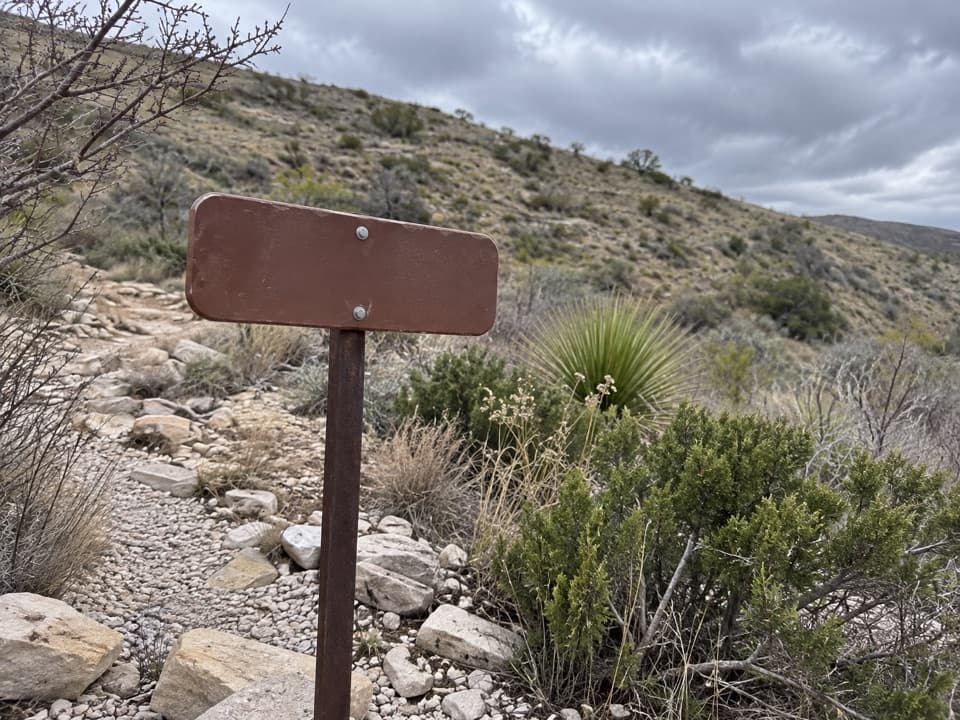 ModerateLower Rattlesnake Canyon Trail3 mi · 3 hr · 0.6 mi awayA rocky canyon path starts beyond marker four.
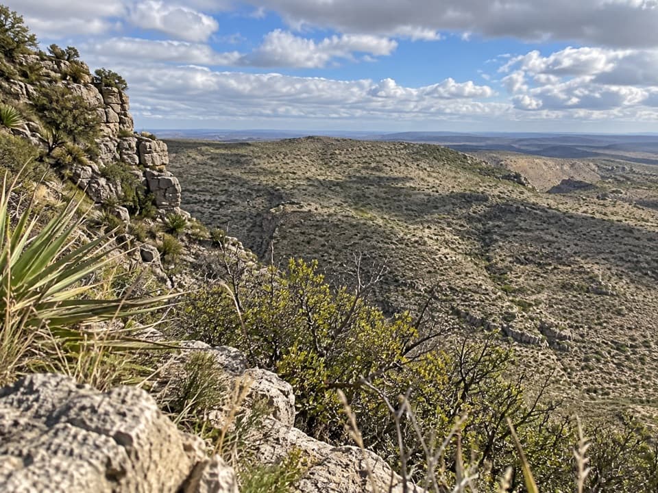 ChallengingGuadalupe Ridge Trail12 mi · 14 hr · 0.6 mi awayA full-day ridge traverse with sweeping desert views.
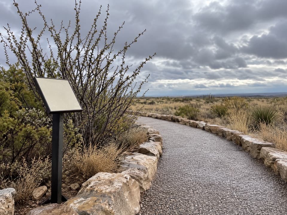 EasyChihuahuan Desert Nature Trail0.8 mi · 30 min · 3.7 mi awayA short desert loop with plant markers and broad views.
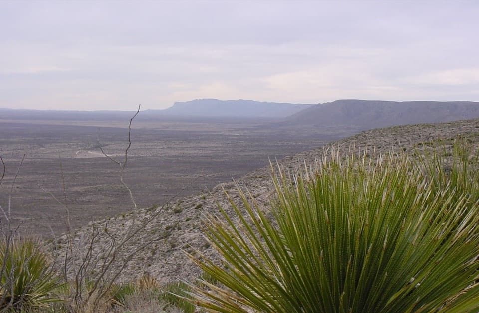 ModerateOld Guano Trail4.2 mi · 2.3 hr · 3.7 mi awayFollow the cavern’s old guano road down to White’s City.
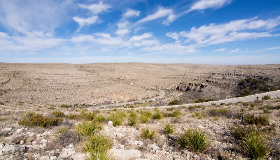 EasyWalnut Canyon Overlook Trail0.2 mi · 15 min · 4.2 mi awayA short paved walk opens onto Walnut Canyon's broad bends.
 EasyWalnut Canyon Nature Trail0.2 mi · 24 min · 5 mi awayA short walk for desert plants and a smoke-darkened shelter.
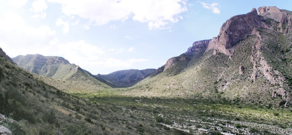 ChallengingNorth Slaughter Canyon Trail5.3 mi · 7 hr · 5.2 mi awayA remote, exposed 5.3-mile climb to the Guadalupe Ridge Trail.
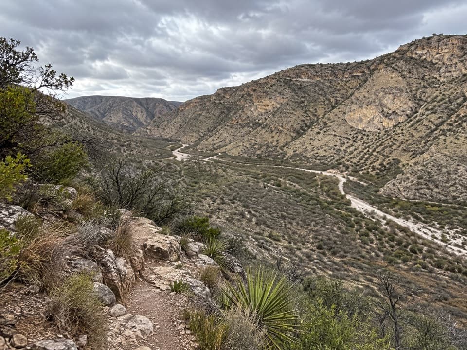 ChallengingSlaughter Canyon Cave Trail1 mi · 1.5 hr · 5.2 mi awayA rugged half-mile ascent to a cave only entered on ranger tours.
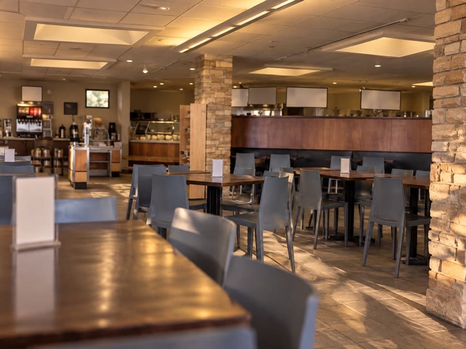 Restaurant · 3.5 mi awayCarlsbad Caverns Trading Company RestaurantA handy visitor-center meal before or after exploring the cavern.
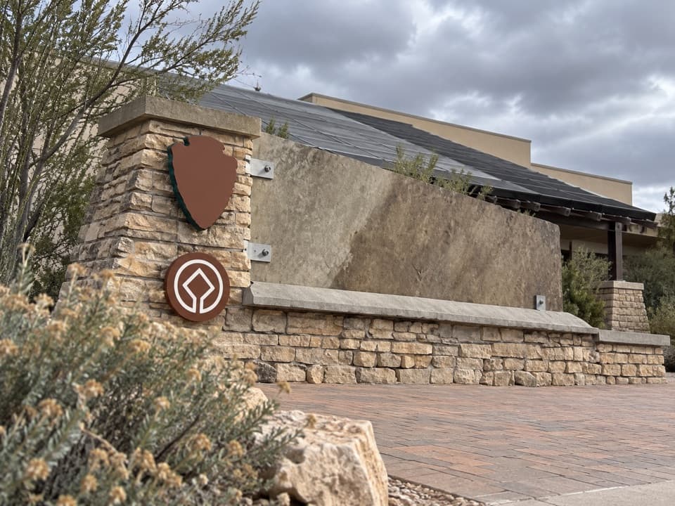 Visitor center · 3.5 mi awayCarlsbad Caverns Visitor CenterA hands-on start above ground before the cavern below.
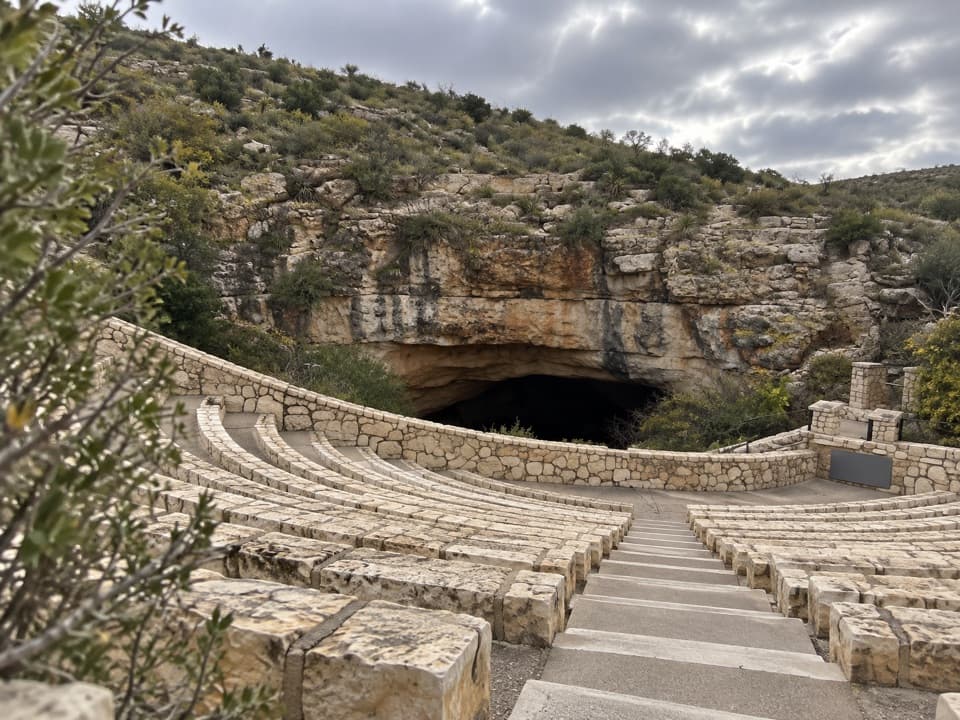 Sight · 3.7 mi awayBat Flight AmphitheaterA ranger talk, then a bat spiral, if the colony cooperates.
 Sight · 3.7 mi awayCarlsbad CavernA vast cave with a steep Natural Entrance or an elevator.
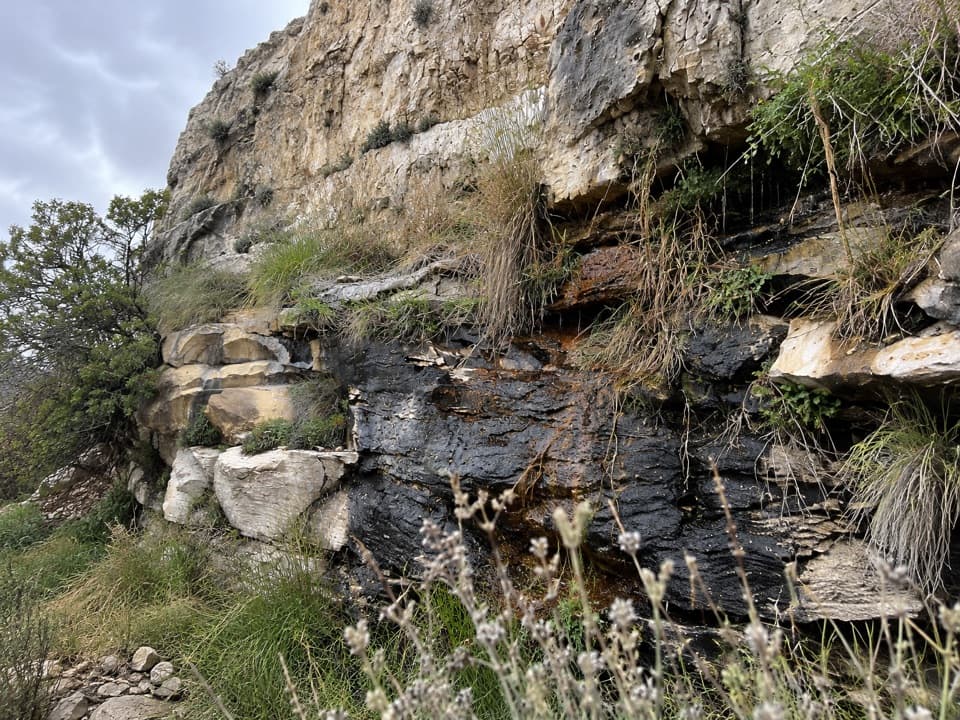 Sight · 4.2 mi awayBig Hill SeepA quick look at groundwater finding its way through canyon rock.
 Sight · 4.2 mi awayWalnut Canyon OverlookA quick canyon view on the road to the cavern.
 Picnic area · 4.3 mi awayRattlesnake SpringsCottonwood shade, picnic tables, and a surprisingly rich birding stop.
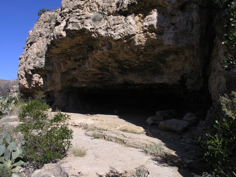 Sight · 5 mi awayWalnut Canyon Rock ShelterA brief roadside walk to a natural desert overhang.
Parkwolf’s Carlsbad Caverns ranking

The audio tour guide for the drive, plus offline maps, trails, and wildlife heatmaps for when the signal drops.