Parking
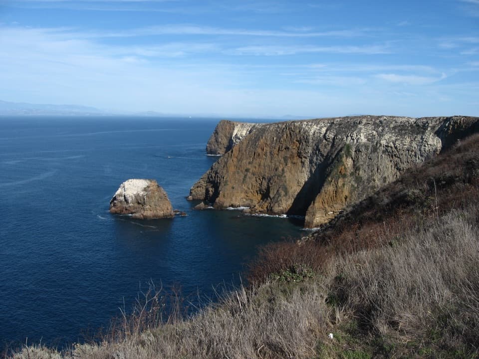
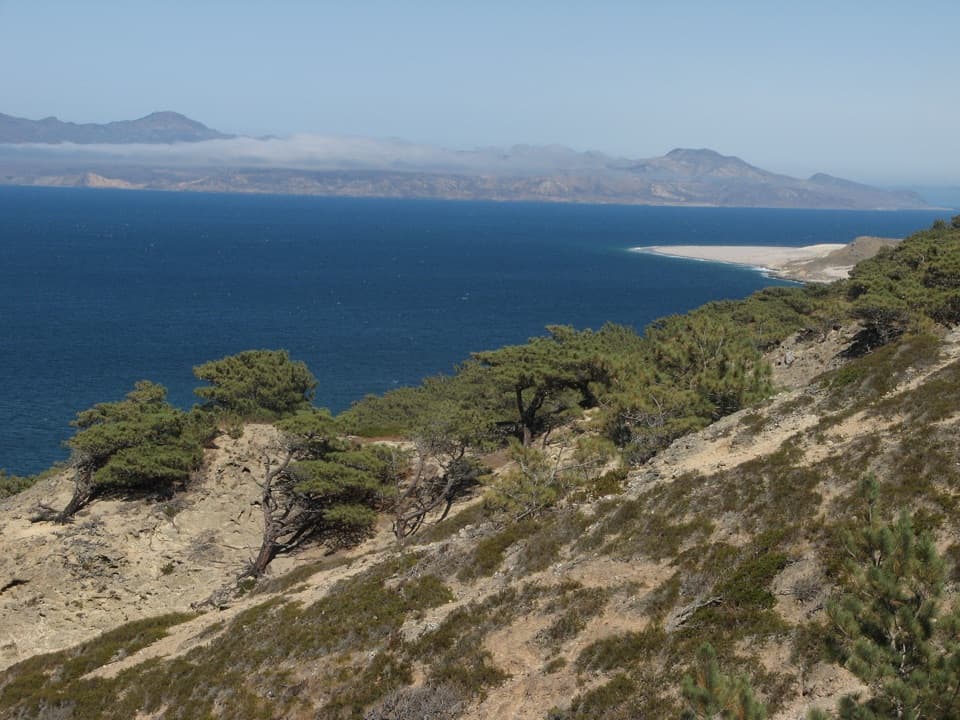
There is no road access to San Miguel. Reach Cuyler Harbor by boat and land on the beach; it has no dock and is the only permitted landing. The Nidever Canyon trail begins above Gull Rock at the beach.
Channel Islands National Park, CA
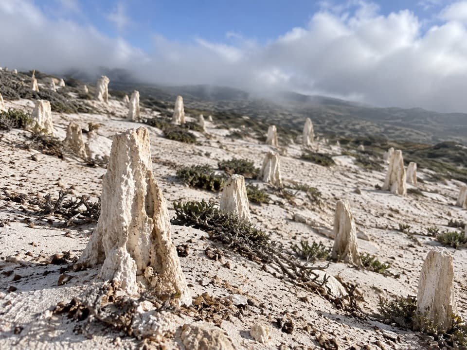
A ranger-led walk to San Miguel’s forest of calcified roots
Overview
Map & elevation
Plan your hike

The highest, rockiest slopes around here are a summer buffet for grizzly bears.
Channel Islands Tour Guide
Parkwolf is a GPS audio tour guide for Channel Islands National Park. As you drive, it chimes in with what’s ahead: hidden gems, upcoming stops, history, geology, and wildlife, right through your car’s speakers.
See the Channel Islands audio tour“Fantastic app with many points of information… It’s great to just turn on while you’re driving and it gives you an audio tour of the national Park. We love it!!!!”


Trail guide
Caliche Forest is a ranger-guided out-and-back from Cuyler Harbor on San Miguel Island. The park lists it as 5 miles round trip and strenuous; allow about 3 to 4 hours on foot, including time at the formations. From the beach, the route climbs the Nidever Canyon trail above Gull Rock, passes the ranch site and ranger station, then continues with a ranger across the island interior to the calcified vegetation. The exact guided line can vary, so stay with the ranger; the overview map is a reference, not a navigation map.
This is a remote island outing, not a walk to start on your own. A landing permit and ranger escort are required, and staff availability affects whether the hike is offered. Check with the park before arranging the boat trip.
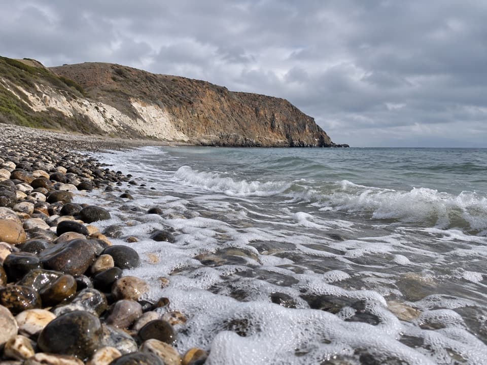
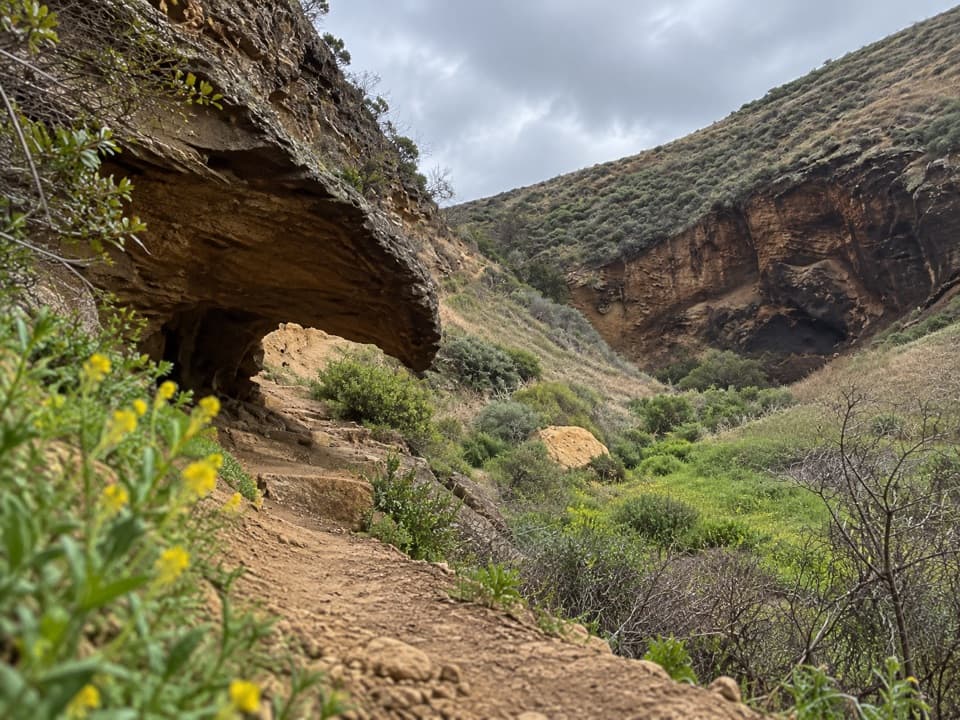
Boats land on the beach, where there is no dock. Walk on the sand only where allowed and give seals and sea lions plenty of room. The first climb follows the east wall of Nidever Canyon. The park warns that this trail is steep and slippery, which is the clearest footing warning for the route. Beyond the ranger station, visitors must remain on designated paths and travel with the ranger; this also prevents the Caliche Forest hike from turning into the much longer Point Bennett trek.
The mapped line follows the Nidever Canyon access and the Point Bennett corridor to the point closest to the Caliche Forest. Available route geometry is shorter than the published distance, and the park’s overview map does not show the interior track in detail. Follow the ranger’s authorized route on the day rather than treating the line as turn-by-turn navigation.
The pale upright shapes are calcified traces of prehistoric vegetation, not a living stand of trees. Calcium carbonate formed around ancient plant material, leaving branching, root-like casts scattered across the ground. The forms are fragile parts of the island’s protected landscape; stay on the designated route and leave everything in place.
Seagoing Chumash people lived on San Miguel for thousands of years. The island later became a sheep ranch, then saw military use before its inclusion in Channel Islands National Park in 1980. San Miguel remains U.S. Navy property managed by the park, one reason access is tightly controlled.
A permit and liability waiver are required to visit the island, which is open only when park personnel are present. There is no drinking water, so bring what you need for the full island visit. Pit toilets are available at the ranger station and campground. Pets are not allowed ashore. San Miguel was a bombing range, and unexploded ordnance may remain; never leave the designated route or disturb anything that could be munitions.
Wildlife
 2,278 sightingsIsland FoxMost seen around 6 PMSighting map
 284 sightingsHumpback WhaleMost seen around 9 AMSighting map
 79 sightingsBlue WhaleMost seen around 7 AMSighting map
 102 sightingsGrey WhaleMost seen around 8 AMSighting map
 373 sightingsCalifornia Sea LionMost seen around noonSighting map
 106 sightingsBald EagleMost seen around 5 PMSighting map
Sighting maps show where each species has been reported across Channel Islands. Wildlife moves, so no sighting is guaranteed.
Keep exploring
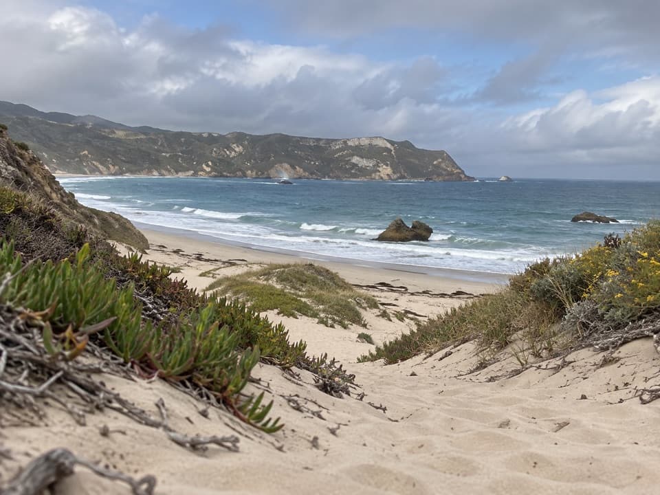 EasyCuyler Harbor Beach Hike2 mi · 1 hr · At the trailheadAn easy walk from Cuyler Harbor along San Miguel's white sand.
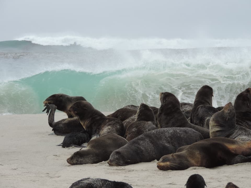 ChallengingPoint Bennett Hike16 mi · 8 hr · At the trailheadA ranger-led 16-mile round trip to Point Bennett’s seal colonies.
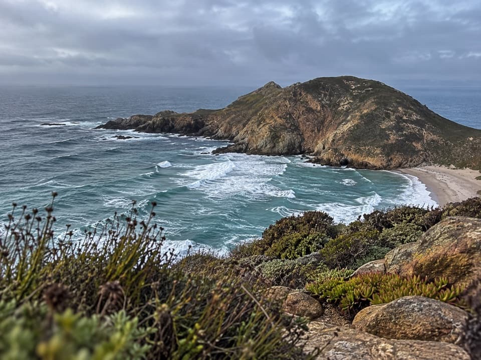 ChallengingLester Point Hike5 mi · 4.5 hr · 0.3 mi awayRanger-escorted ridge walk with views of Harris Point and Simonton Cove.
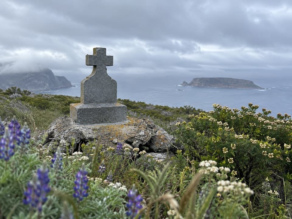 ChallengingCabrillo Monument Hike2 mi · 2 hr · 0.4 mi awayClimb Nidever Canyon to a 1937 monument above Cuyler Harbor.
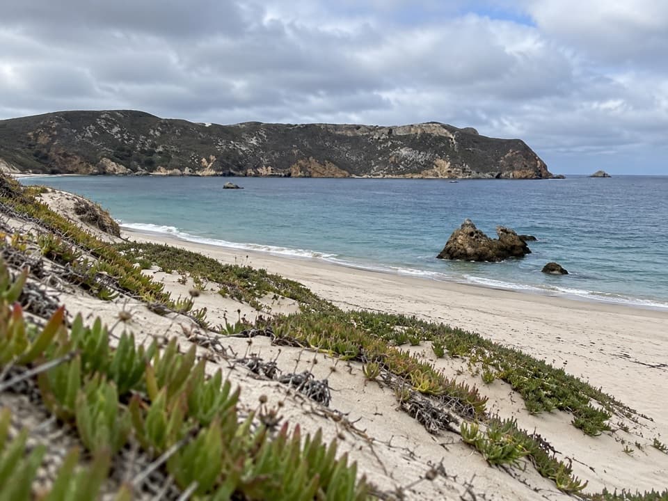 Beach · At the trailheadCuyler Harbor BeachA remote beach that’s San Miguel’s one approved landing.
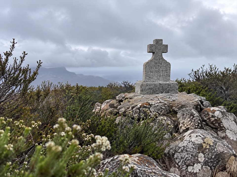 Sight · 0.3 mi awayCabrillo MonumentA stone cross, a contested story, and a steep island climb.
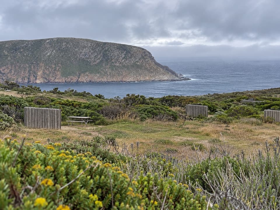 Campground · 0.5 mi awaySan Miguel Island CampgroundNine exposed tent sites above the Pacific, a steep mile uphill.
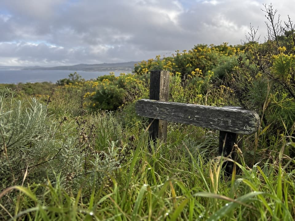 Sight · 0.5 mi awayLester Ranch SiteA ranch built from shipwreck timber, now mostly rubble.
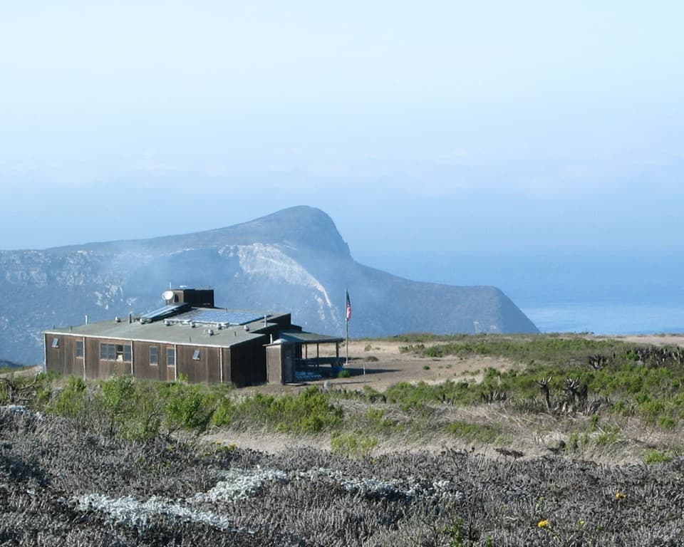 Ranger station · 0.6 mi awaySan Miguel Island Ranger and Visitor Contact StationA working ranger outpost on an island that requires a permit.
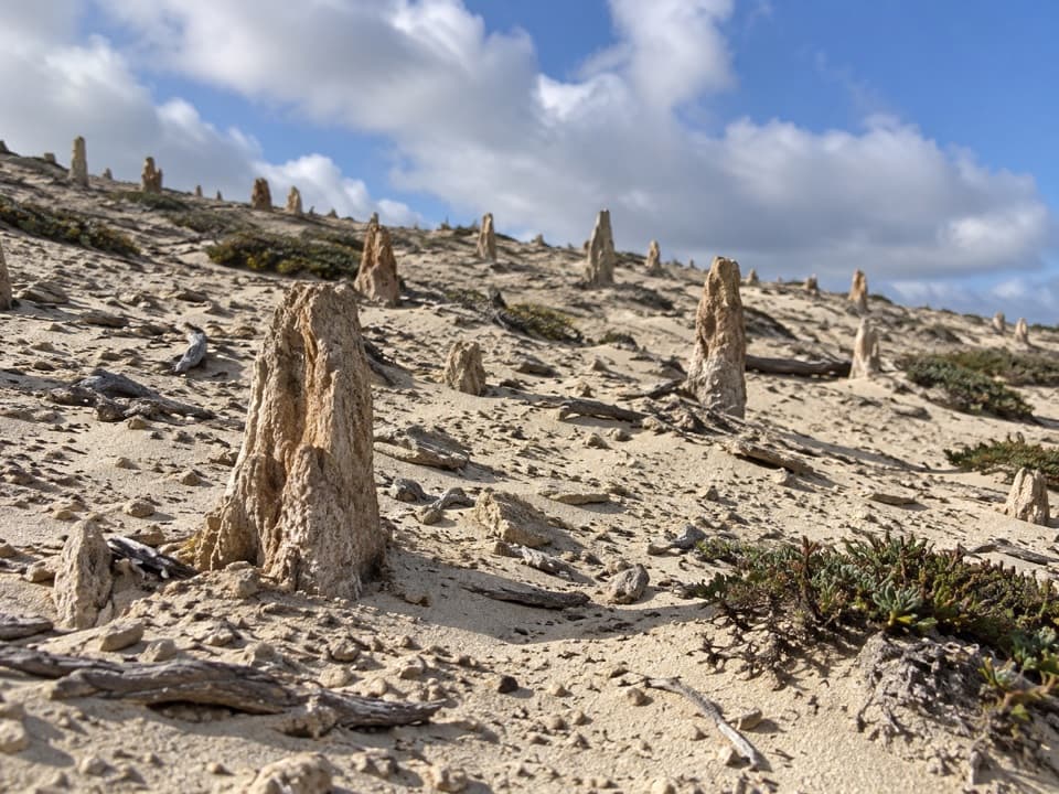 Sight · 1.5 mi awayCaliche ForestA five-mile ranger-escorted walk among ancient white root casts.
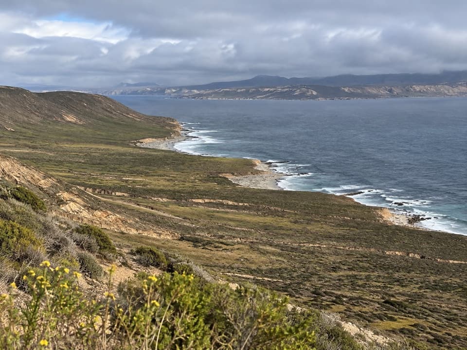 Sight · 1.5 mi awayCrook Point OverlookA strenuous hike for a southeast coast view and an island-fox story.
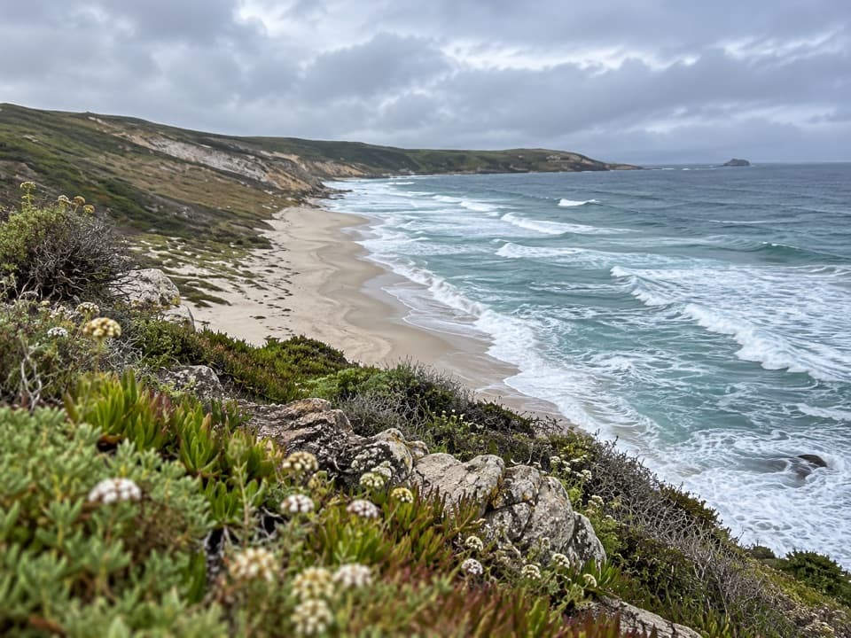 Sight · 1.8 mi awayLester PointA strenuous ranger-led hike to San Miguel’s rugged coastal point.
Parkwolf’s Channel Islands ranking

The audio tour guide for the drive, plus offline maps, trails, and wildlife heatmaps for when the signal drops.