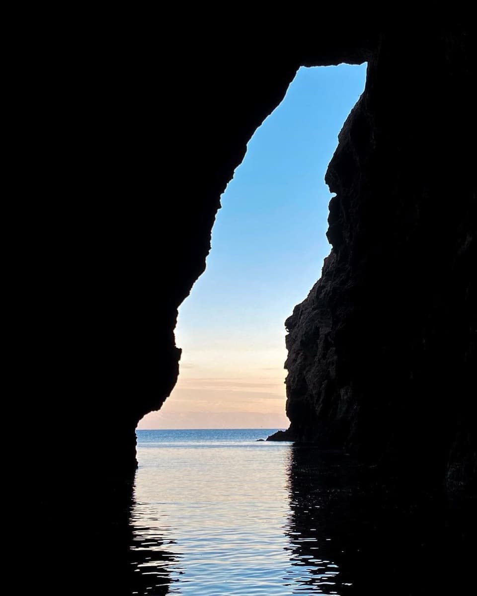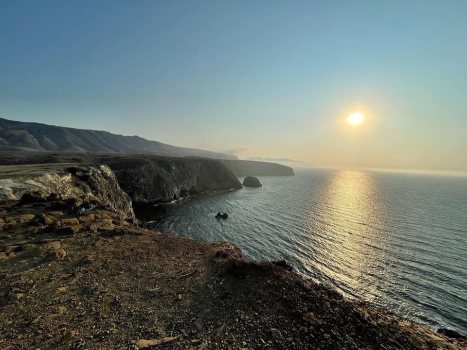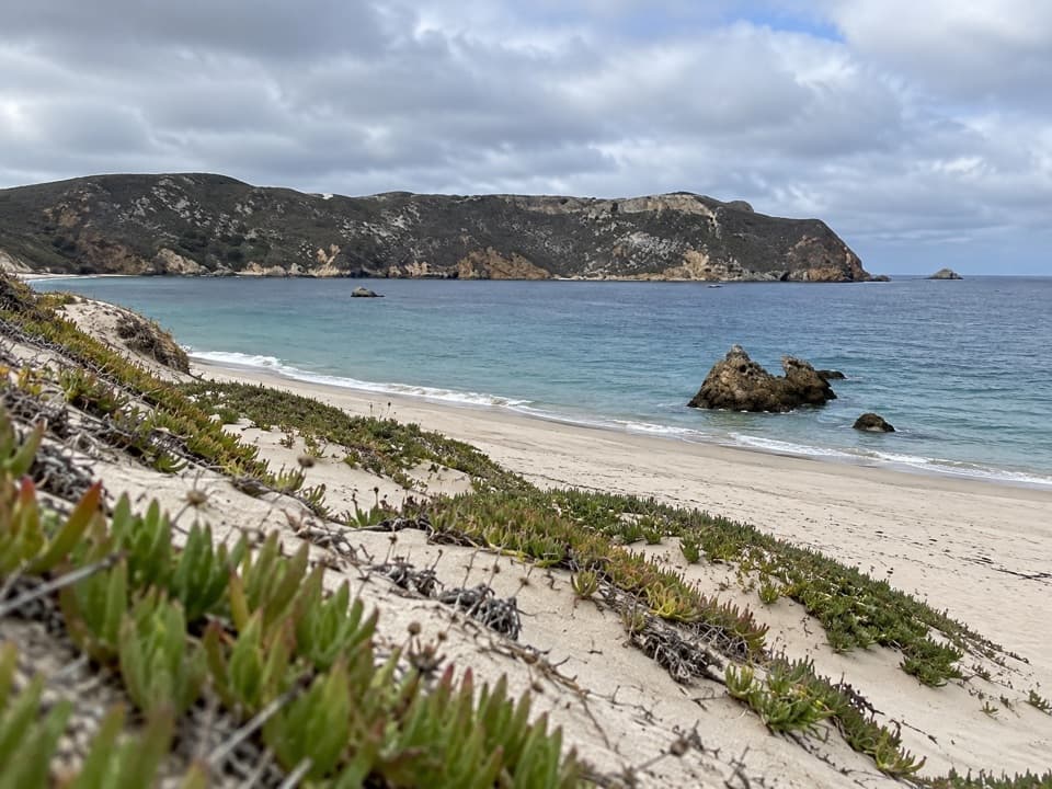
Cuyler Harbor Beach in Channel Islands National Park

Beach · Channel Islands National Park

Cuyler Harbor Beach

A remote beach that’s San Miguel’s one approved landing.

Type
Beach
Nearest trail
Right here
  • Scenic viewpoint
  • #15 of 62 sights

Overview

About Cuyler Harbor Beach

Why stop

  • A long white-sand shore with tidepools at the eastern end
  • Prince Island’s nesting seabirds are visible offshore

Heads up

  • Skiff transfers and sea conditions can prevent a landing
  • There is no food, service or potable water on San Miguel

Map

Where it is

Loading the Channel Islands map
Full map
BeachCuyler Harbor Beach34.04669, -120.35273
Keep this map with you offline in the Parkwolf app

Plan your stop

Before you go

2 active Channel Islands alerts

  • ClosureSanta Rosa Island wildfire-recovery closuresBurned areas on Santa Rosa Island remain closed during wildfire recovery, and Southeast Quadrant backcountry beach camping is closed for the remainder of the 2026 recreation season.Official details
  • InfoSanta Barbara Island dock closed; landings restrictedThe Santa Barbara Island dock is closed; land only on the adjacent rocky ledge.Official details

Channel Islands alerts
A park ranger sits on a dash-mounted phone, talking, as Parkwolf’s Tour Guide plays “Army Cutworm Moths: A Grizzly Bear Buffet” on Grand Loop Road below Dunraven Pass in Yellowstone
Parkwolf Tour GuideThe highest, rockiest slopes around here are a summer buffet for grizzly bears.

Channel Islands Tour Guide

Your drive to Cuyler Harbor Beach, narrated.

Parkwolf is a GPS audio tour guide for Channel Islands National Park. As you drive, it chimes in with what’s ahead: hidden gems, upcoming stops, history, geology, and wildlife, right through your car’s speakers.

See the Channel Islands audio tour
  • 16 audio storiesacross Channel Islands’s roads, triggered by GPS as you drive
  • Wildlife heatmapsfor Island Fox, Humpback Whale, Blue Whale, and 13 more
  • Works offlinemaps, 48 trails, 75 places, and audio download before you lose signal
  • CarPlay readysimple controls built for the drive
★★★★★
“Fantastic app with many points of information… It’s great to just turn on while you’re driving and it gives you an audio tour of the national Park. We love it!!!!”
JMJamesApp Store review
Download Parkwolf on the App StoreGet Parkwolf on Google Play

4.7 from 8,600+ ratings

Guide

More about Cuyler Harbor Beach

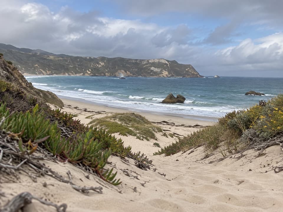
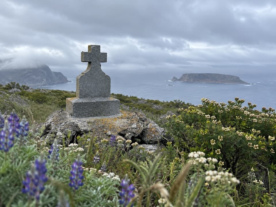
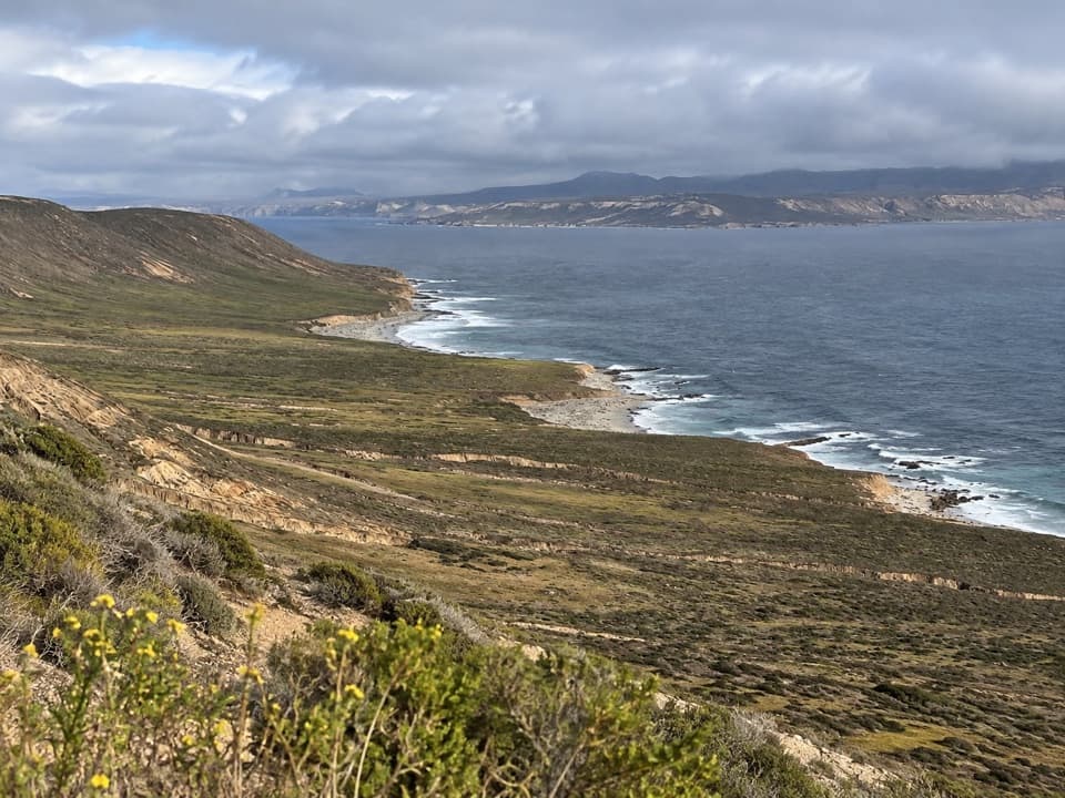
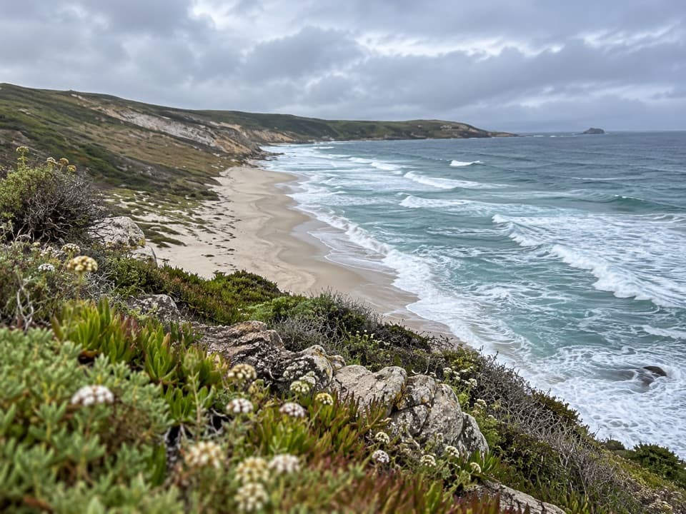
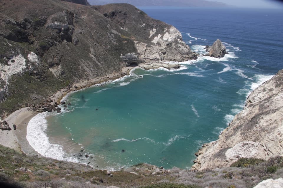
The only landing at San MiguelThis is the broad white-sand beach inside Cuyler Harbor, on remote San Miguel Island.

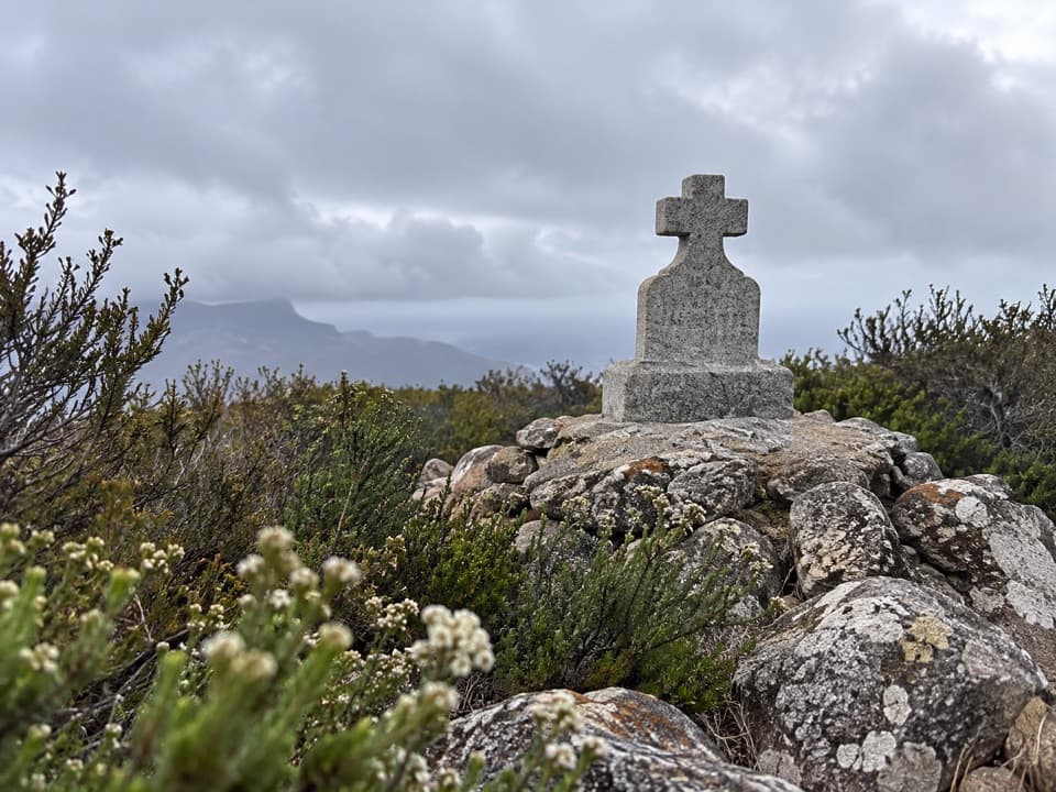
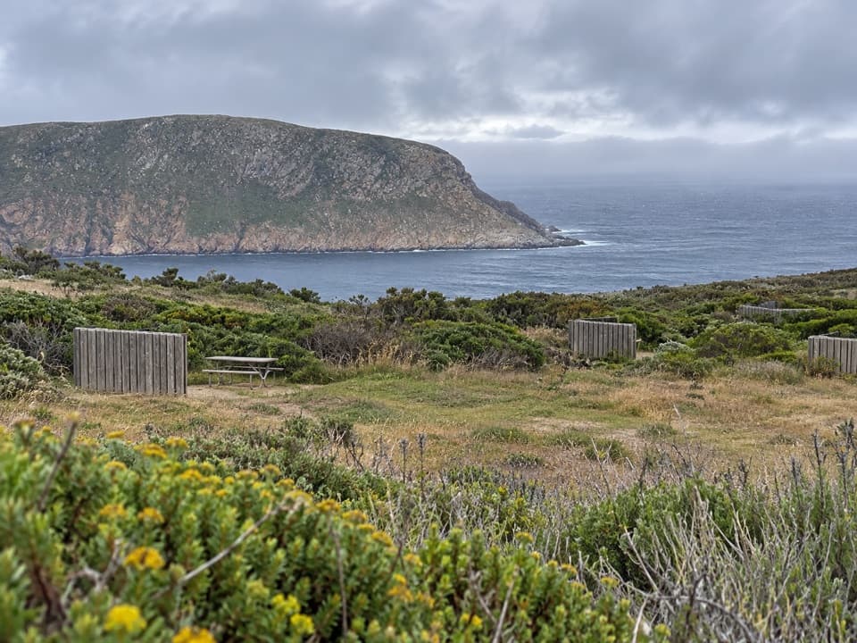
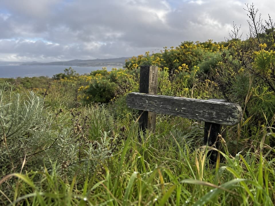
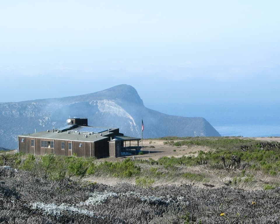
This is the broad white-sand beach inside Cuyler Harbor, on remote San Miguel Island. It is the island’s only approved landing area and a worthwhile shore walk if your boat reaches it. Most visitors transfer from a skiff to the beach, so expect to get wet; wind and rough seas can delay or prevent a landing. A permit is required, and the island is open only when park staff are present. You can explore the beach without a ranger escort, but farther island walks require staff accompaniment and must stay on designated trails.

Walk the shorelineThe easy beach walk is two miles round-trip from the landing, along white sand toward the…

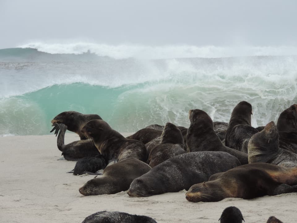
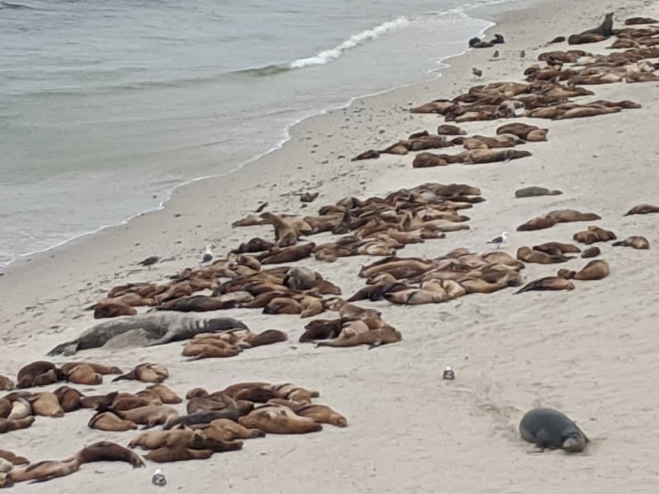
The easy beach walk is two miles round-trip from the landing, along white sand toward the points where sand meets rock. Tidepools are at the eastern end. If seals are resting on the beach, give them space and keep moving along the open shore.

Bring your picnic and look offshorePrince Island, just off the harbor, supports 13 nesting seabird species, so this is a good…

Prince Island, just off the harbor, supports 13 nesting seabird species, so this is a good place to watch the water as well as walk the sand. Visitors often picnic on the beach when weather allows, but there are no tables, food, goods or services on the island, and no potable water. The campground’s pit toilet is more than a steep uphill mile away near Lester Ranch, not at the beach.

The palms and a movie mythFour Washingtonia palms near the former pier are the beach’s clearest landmark.

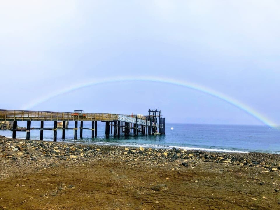
Four Washingtonia palms near the former pier are the beach’s clearest landmark. They’re often said to have been left behind by Mutiny on the Bounty, but the palms were planted by Ben Hughey and friends in 1964, with more added in 1970. The 1935 film did use San Miguel’s rough water for sea scenes; its small “Baby Bounty” model was lost in the surf and recovered two nights later.

A Chumash placeWhen Juan Rodríguez Cabrillo came ashore in 1542, a Chumash village stood at Cuyler Harbor.

When Juan Rodríguez Cabrillo came ashore in 1542, a Chumash village stood at Cuyler Harbor. About 100 Chumash people lived in two coastal villages, and Chumash people and their ancestors had occupied San Miguel for nearly 12,000 years. The island has more than 600 fragile archaeological sites, so stay on the established routes.

A photo landmark on the sandInclude the four palms near the former pier in a wide beach view.

Include the four palms near the former pier in a wide beach view. They give the long sweep of sand a recognizable foreground and connect the shoreline to its human history.

Wildlife

Wildlife in Channel Islands

All Channel Islands wildlife maps

Sighting maps show where each species has been reported across Channel Islands. Wildlife moves, so no sighting is guaranteed.

Keep exploring

Near Cuyler Harbor Beach

See it all on the map

Trails nearby

More stops nearby

Parkwolf’s Channel Islands ranking

Top sights in Channel Islands

All 75 places
  1. 1Inspiration PointSight
  2. 2Scorpion Anchorage and BeachBeach
  3. 3Arch RockSight
  4. 4Potato Harbor OverlookSight
  5. 5Painted CaveSight
  6. 6Cavern PointSight

Take Parkwolf to Channel Islands.

The audio tour guide for the drive, plus offline maps, trails, and wildlife heatmaps for when the signal drops.

4.7 from 8,600+ ratings

Download Parkwolf on the App StoreGet Parkwolf on Google Play