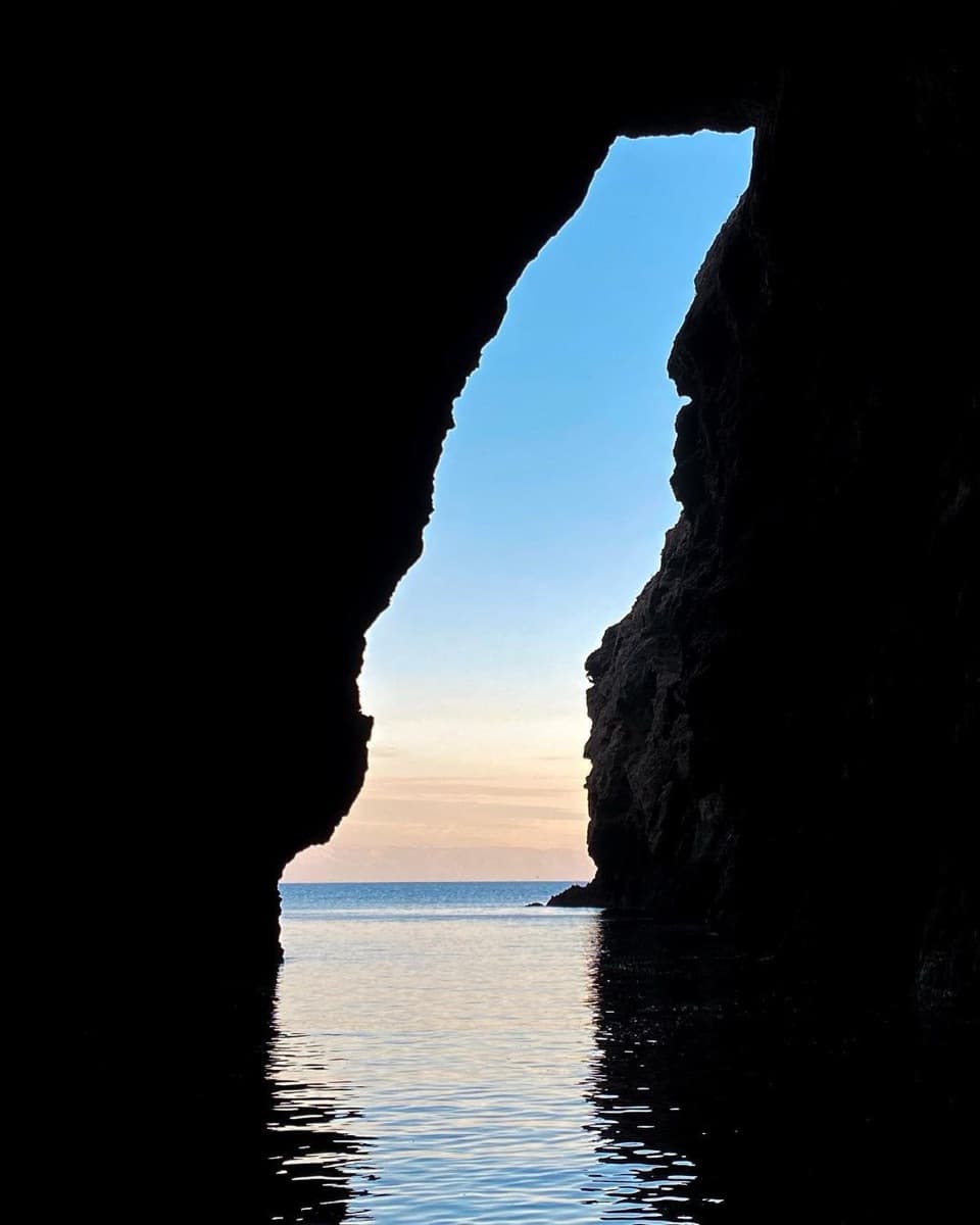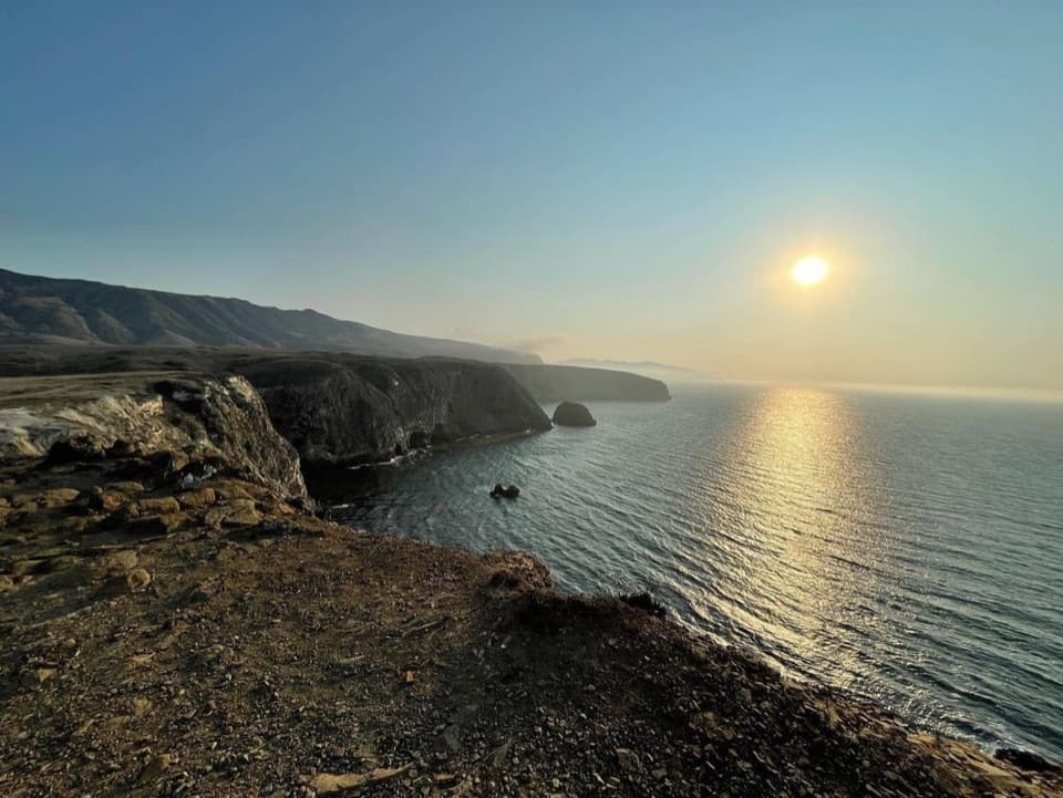
Lester Point in Channel Islands National Park

Sight · Channel Islands National Park

Lester Point

A strenuous ranger-led hike to San Miguel’s rugged coastal point.

Type
Sight
Nearest trail
1.4 mi
  • Scenic viewpoint
  • #27 of 62 sights

Overview

About Lester Point

Why stop

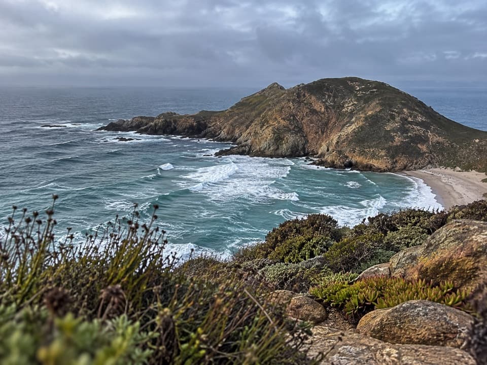
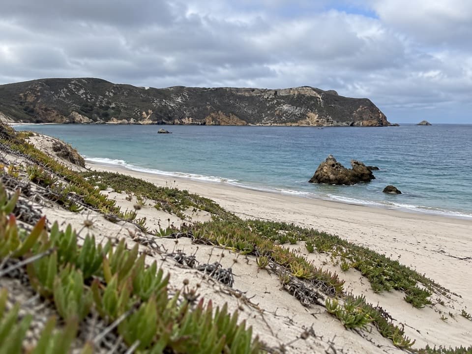
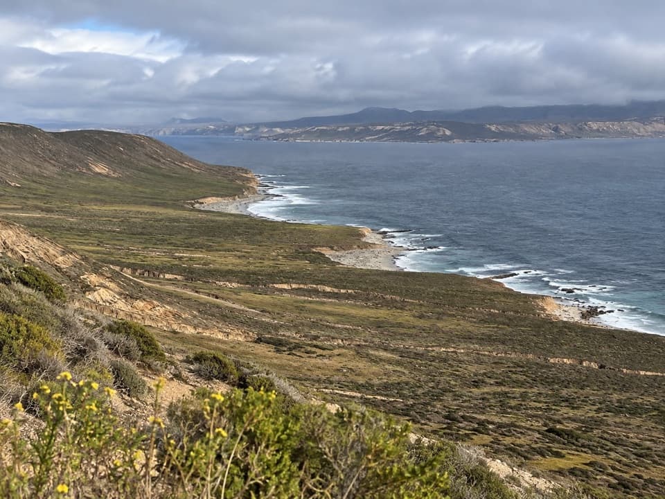
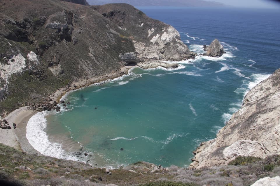
  • Views of sandy shores, Harris Point, and Simonton Cove
  • A standout concentration of San Miguel’s native plants

Heads up

  • The strenuous escorted hike and limited availability make it a major time commitment.

Map

Where it is

Loading the Channel Islands map
Full map
SightLester Point34.06919, -120.36776
Keep this map with you offline in the Parkwolf app

Plan your stop

Before you go

Access takes planning

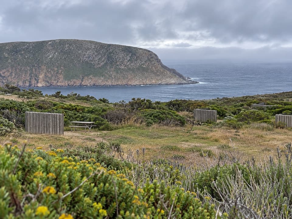
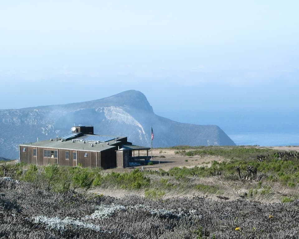
San Miguel Island is owned by the Navy and opens only when park personnel are present. A permit is required, and hikers must go with park staff beyond the ranger station because unexploded ordnance may remain from past bombing-range use. Staff can’t promise a hike to every destination, so coordinate after landing at Cuyler Harbor. There’s no potable water or shade on the island; bring your food and water from the mainland.

2 active Channel Islands alerts

  • ClosureSanta Rosa Island wildfire-recovery closuresBurned areas on Santa Rosa Island remain closed during wildfire recovery, and Southeast Quadrant backcountry beach camping is closed for the remainder of the 2026 recreation season.Official details
  • InfoSanta Barbara Island dock closed; landings restrictedThe Santa Barbara Island dock is closed; land only on the adjacent rocky ledge.Official details
Channel Islands alerts
A park ranger sits on a dash-mounted phone, talking, as Parkwolf’s Tour Guide plays “Army Cutworm Moths: A Grizzly Bear Buffet” on Grand Loop Road below Dunraven Pass in Yellowstone
Parkwolf Tour GuideThe highest, rockiest slopes around here are a summer buffet for grizzly bears.

Channel Islands Tour Guide

Your drive to Lester Point, narrated.

Parkwolf is a GPS audio tour guide for Channel Islands National Park. As you drive, it chimes in with what’s ahead: hidden gems, upcoming stops, history, geology, and wildlife, right through your car’s speakers.

See the Channel Islands audio tour
  • 16 audio storiesacross Channel Islands’s roads, triggered by GPS as you drive
  • Wildlife heatmapsfor Island Fox, Humpback Whale, Blue Whale, and 13 more
  • Works offlinemaps, 48 trails, 75 places, and audio download before you lose signal
  • CarPlay readysimple controls built for the drive
★★★★★
“Fantastic app with many points of information… It’s great to just turn on while you’re driving and it gives you an audio tour of the national Park. We love it!!!!”
JMJamesApp Store review
Download Parkwolf on the App StoreGet Parkwolf on Google Play

4.7 from 8,600+ ratings

Guide

More about Lester Point

A strenuous hike to a coastal headlandLester Point is a named headland on San Miguel Island, above Cuyler Harbor.

Lester Point is a named headland on San Miguel Island, above Cuyler Harbor. It’s a destination for a long, guided walk, not a quick pullout. Plan for a strenuous five-mile round trip from Cuyler Harbor; published distances for the route disagree, so confirm the hike with staff as you arrange your visit.

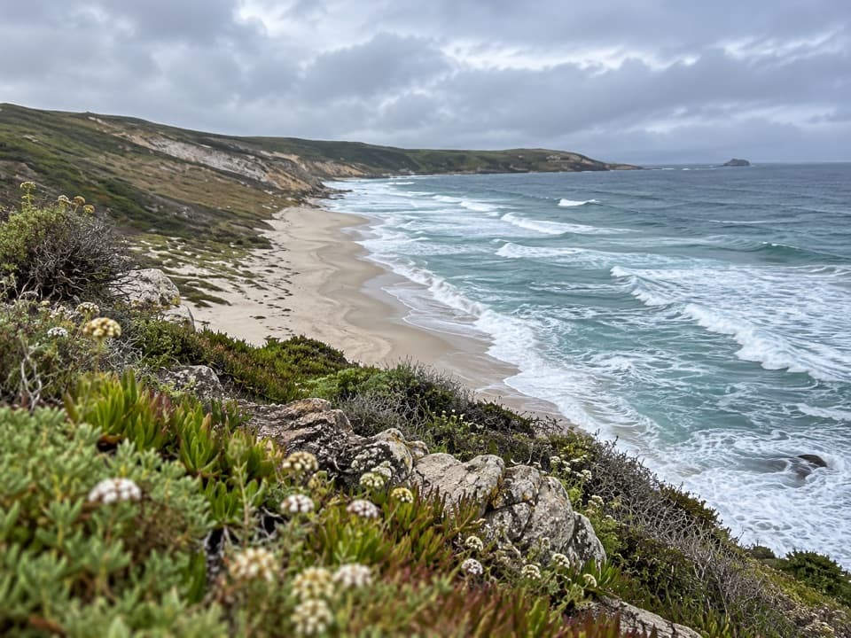
Look over the coastThe route winds above Cuyler Harbor to views of sandy shores, rugged coastline, Harris Point,…

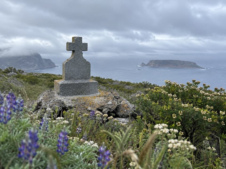
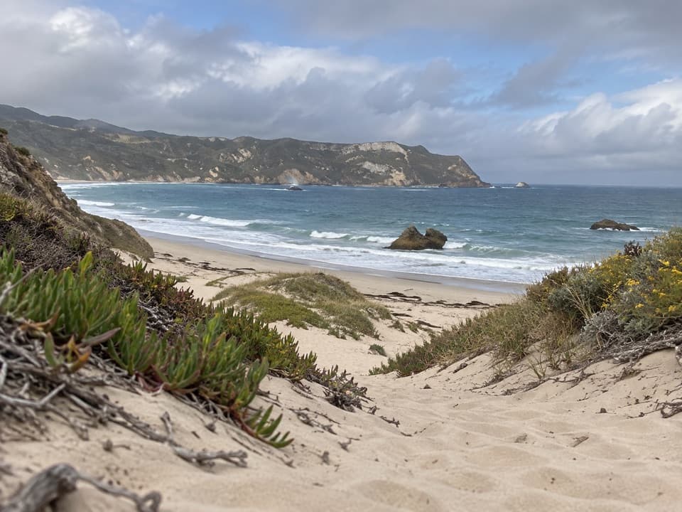
The route winds above Cuyler Harbor to views of sandy shores, rugged coastline, Harris Point, and Simonton Cove. For photos, keep the native plants and rock at the bluff edge in the foreground, with the surf and curving shore beyond. That captures the jump from low coastal scrub to open water.

A native plant hotspotDespite the wind and thin soil, this area has San Miguel Island’s highest concentration and…

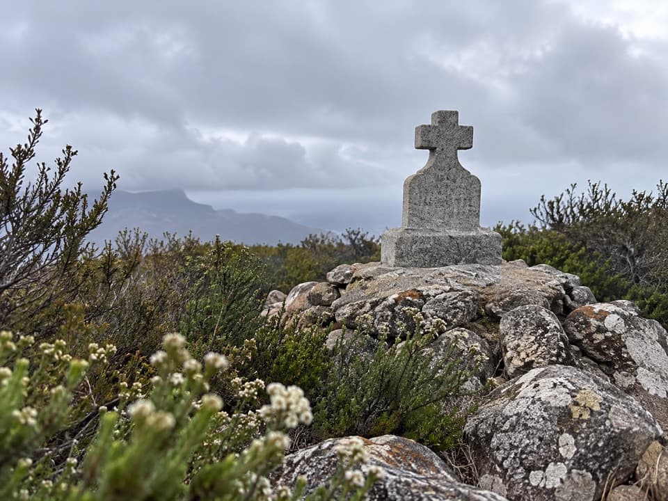
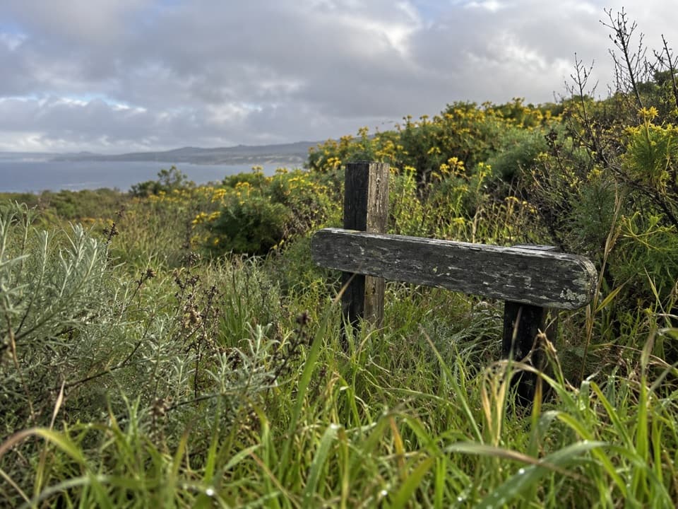
Despite the wind and thin soil, this area has San Miguel Island’s highest concentration and diversity of native plants. Look for bush lupine, island live-forever, and endemic buckwheat. Lichens are conspicuous on local rocks, trees, and fences; the northern Channel Islands support more than 400 species, about one-third of California’s total. Stay on the designated trail; these plants struggle in the exposed soil.

Wildlife

Wildlife in Channel Islands

All Channel Islands wildlife maps

Sighting maps show where each species has been reported across Channel Islands. Wildlife moves, so no sighting is guaranteed.

Keep exploring

Near Lester Point

See it all on the map

Trails nearby

More stops nearby

Parkwolf’s Channel Islands ranking

Top sights in Channel Islands

All 75 places
  1. 1Inspiration PointSight
  2. 2Scorpion Anchorage and BeachBeach
  3. 3Arch RockSight
  4. 4Potato Harbor OverlookSight
  5. 5Painted CaveSight
  6. 6Cavern PointSight

Take Parkwolf to Channel Islands.

The audio tour guide for the drive, plus offline maps, trails, and wildlife heatmaps for when the signal drops.

4.7 from 8,600+ ratings

Download Parkwolf on the App StoreGet Parkwolf on Google Play