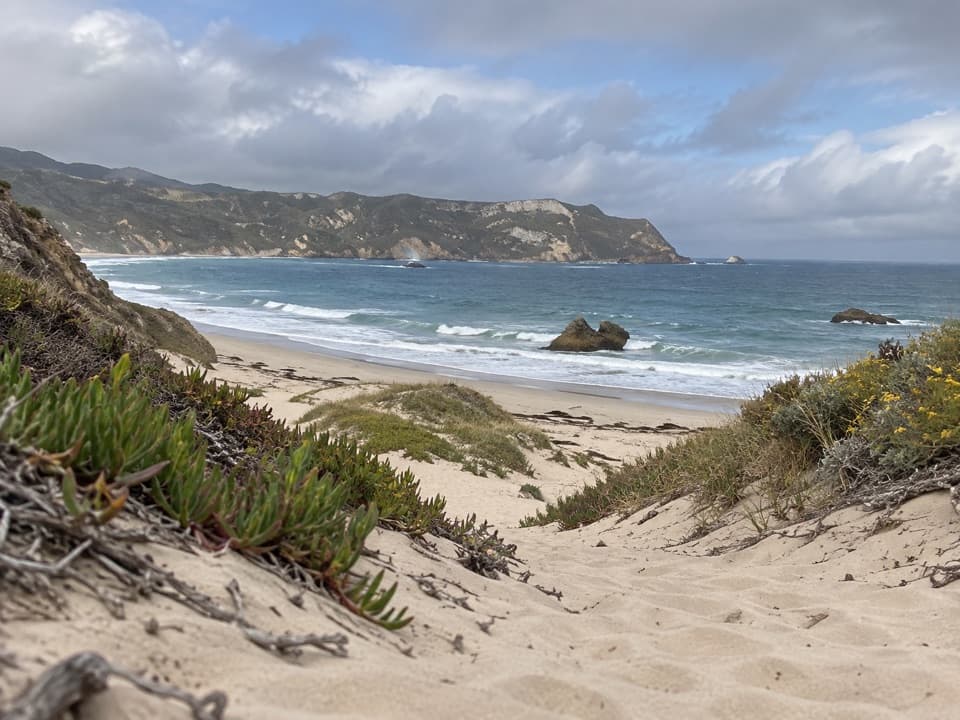
Cuyler Harbor Beach Hike in Channel Islands National Park

Channel Islands National Park, CA

Cuyler Harbor Beach Hike

An easy walk from Cuyler Harbor along San Miguel's white sand.

Length
2mi
Time
1hr
Elevation
Flat
Difficulty
Easy
  • No dogs
  • High point 0 ft
  • #16 of 48 in Channel Islands
Parkwolf audio tour16 stories across Channel Islands’s roads

Overview

About Cuyler Harbor Beach Hike

Why go

  • White sand, offshore rocks and an easy shoreline walk

Heads up

  • The island landing requires advance access planning
  • There is no drinking water on the island

Map & elevation

The route

Loading the Channel Islands map
Full map
Elevation0–0 ft
TrailheadCuyler Harbor beach landing34.04670, -120.35289
Keep this map with you offline in the Parkwolf app

Plan your hike

Before you go

Parking

There is no road access or drive-up parking. Reach San Miguel by authorized boat or aircraft and land only at Cuyler Harbor. The island is open only when National Park Service staff are present, and a visitor permit with liability waiver is required.

Safety

Use care crossing beach rockfall, keep away from seals, and remain on designated routes because unexploded ordnance may remain from past military use. Pets are not allowed on shore.

2 active Channel Islands alerts

  • ClosureSanta Rosa Island wildfire-recovery closuresBurned areas on Santa Rosa Island remain closed during wildfire recovery, and Southeast Quadrant backcountry beach camping is closed for the remainder of the 2026 recreation season.Official details
  • InfoSanta Barbara Island dock closed; landings restrictedThe Santa Barbara Island dock is closed; land only on the adjacent rocky ledge.Official details
Channel Islands alerts
A park ranger sits on a dash-mounted phone, talking, as Parkwolf’s Tour Guide plays “Army Cutworm Moths: A Grizzly Bear Buffet” on Grand Loop Road below Dunraven Pass in Yellowstone
Parkwolf Tour GuideThe highest, rockiest slopes around here are a summer buffet for grizzly bears.

Channel Islands Tour Guide

Your drive to Cuyler Harbor Beach Hike, narrated.

Parkwolf is a GPS audio tour guide for Channel Islands National Park. As you drive, it chimes in with what’s ahead: hidden gems, upcoming stops, history, geology, and wildlife, right through your car’s speakers.

See the Channel Islands audio tour
  • 16 audio storiesacross Channel Islands’s roads, triggered by GPS as you drive
  • Wildlife heatmapsfor Island Fox, Humpback Whale, Blue Whale, and 13 more
  • Works offlinemaps, 48 trails, 75 places, and audio download before you lose signal
  • CarPlay readysimple controls built for the drive
★★★★★
“Fantastic app with many points of information… It’s great to just turn on while you’re driving and it gives you an audio tour of the national Park. We love it!!!!”
JMJamesApp Store review
Download Parkwolf on the App StoreGet Parkwolf on Google Play

4.7 from 8,600+ ratings

Trail guide

Hiking Cuyler Harbor Beach Hike

A simple beach out-and-backCuyler Harbor Beach Hike is an easy 2-mile round-trip walk along the white sand inside Cuyler…

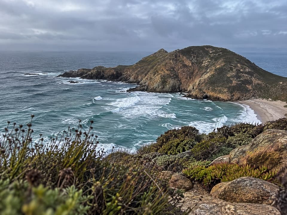
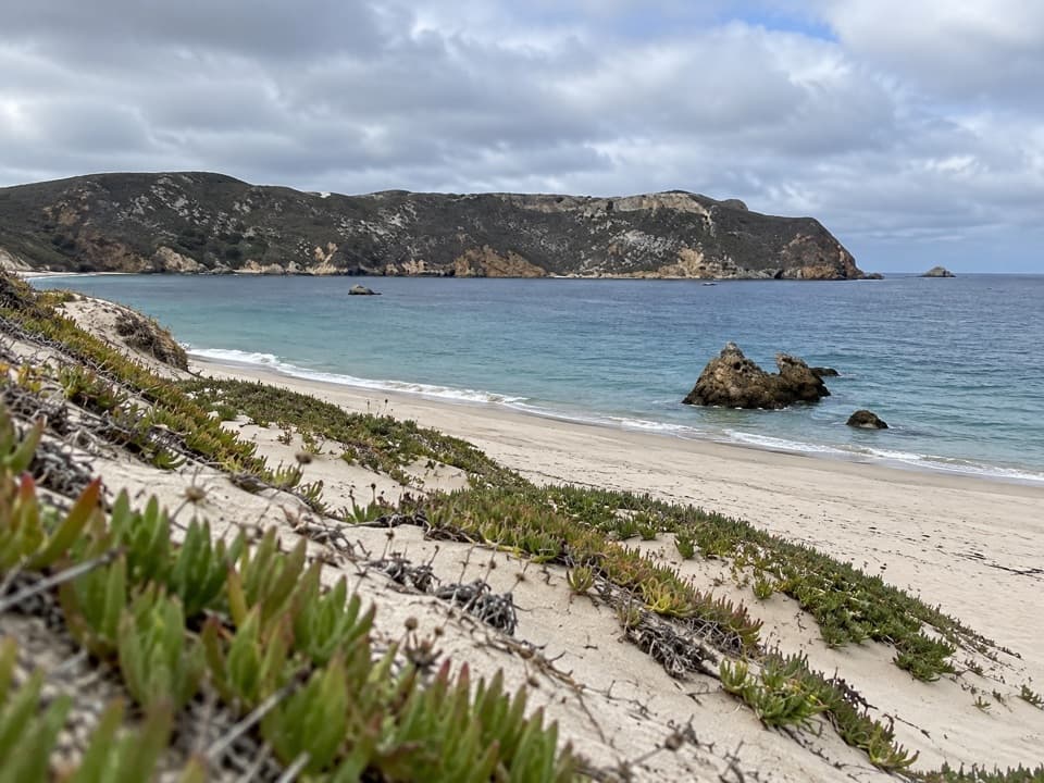
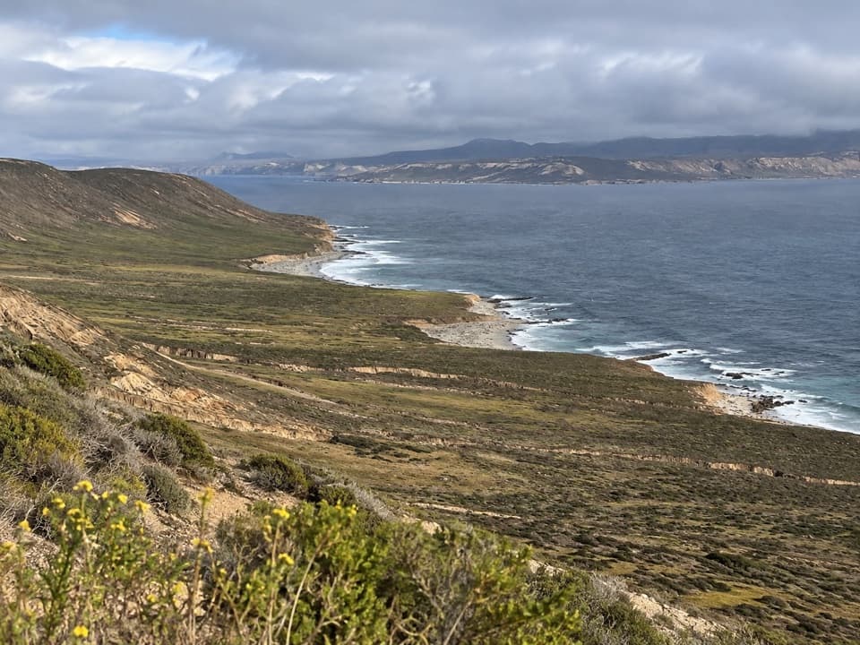
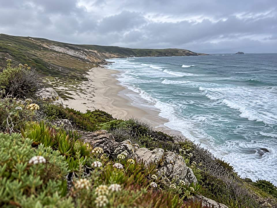
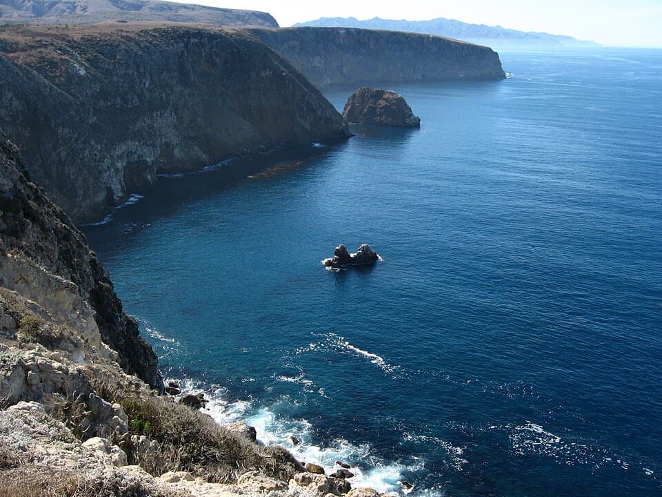
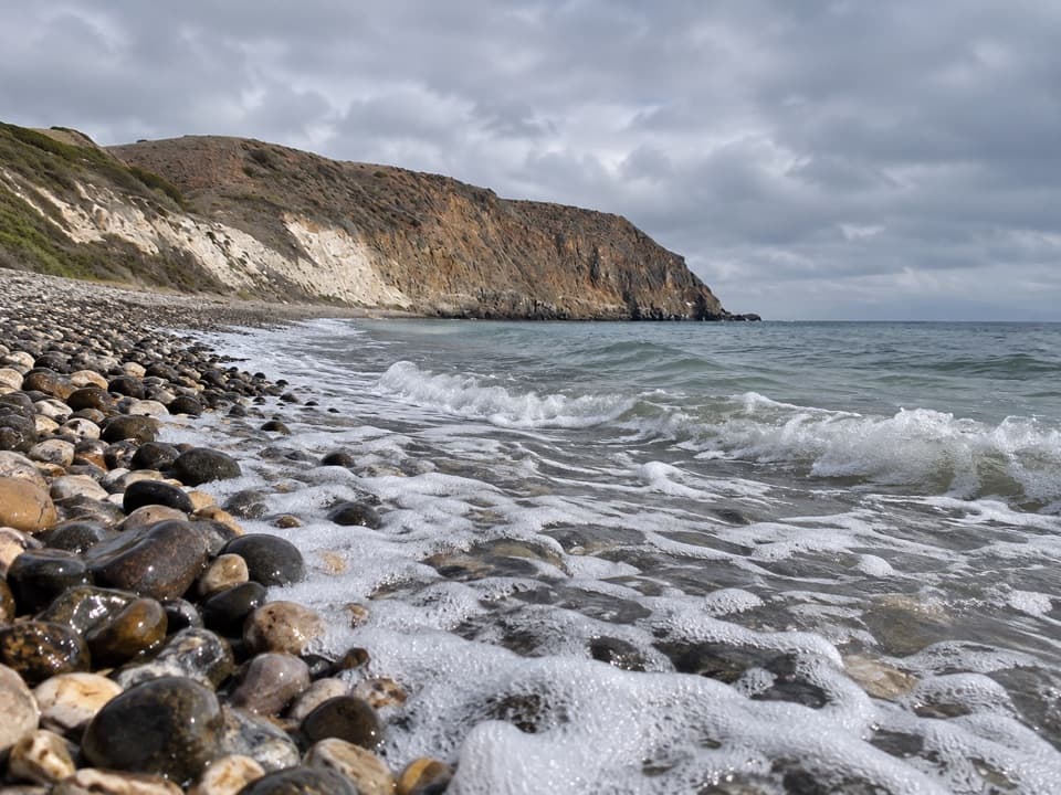
Cuyler Harbor Beach Hike is an easy 2-mile round-trip walk along the white sand inside Cuyler Harbor. From the harbor landing, follow the broad eastern beach to where the sand runs into rock, then turn back. The mapped beach section is just under a mile each way; allow about an hour, with more time if you want to linger by the water.

Plan the landingThis isn't a drive-up trailhead.

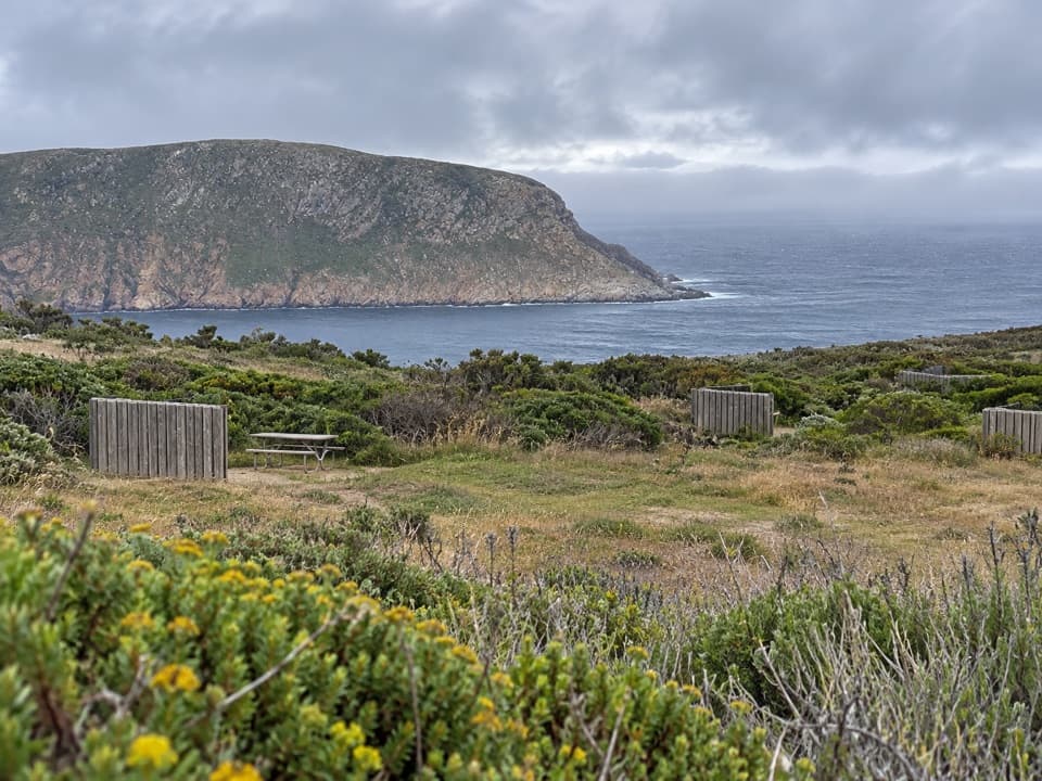
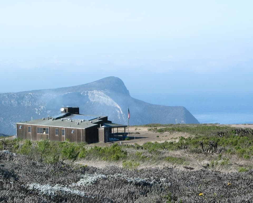
This isn't a drive-up trailhead. San Miguel is open only when National Park Service staff are on the island, and visitors need a permit with a liability waiver; confirm access before setting out. You may walk the beach without a ranger, but stay on designated routes, and ranger escort is required beyond the ranger station. There is no drinking water on the island. Pit toilets are at the ranger station and campground, away from the beach.

Sand, rock and sealsUse care where rockfall crosses the beach.

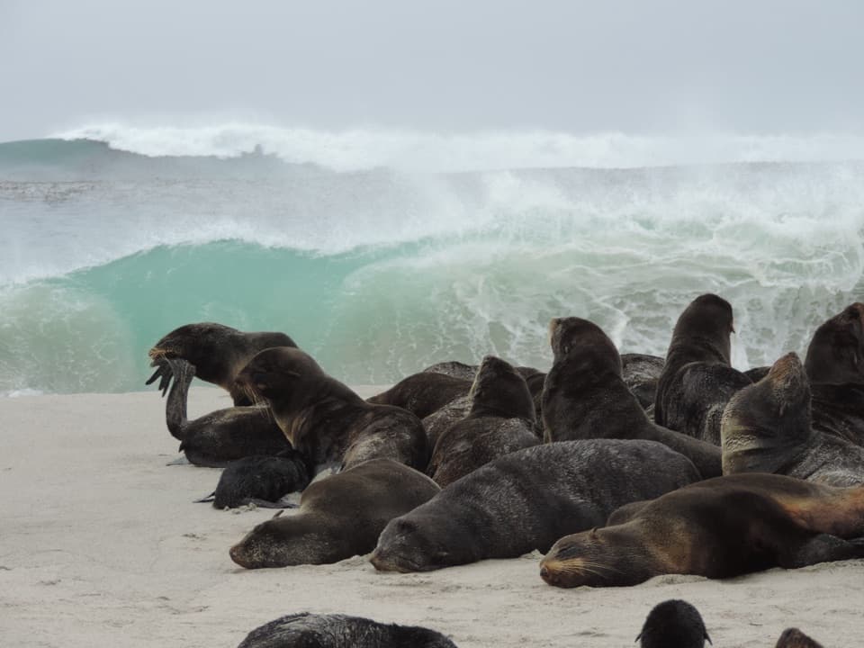
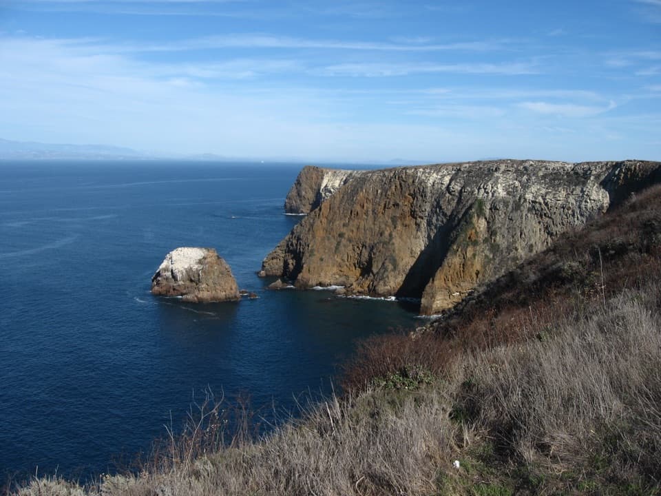
Use care where rockfall crosses the beach. If seals are on shore, don't approach or disturb them. Stay on designated routes because unexploded ordnance may remain from the island's former military use. Pets aren't allowed on shore. For a photo, include one of the low offshore rocks with the far ridge across the harbor; that gives the white sand some scale.

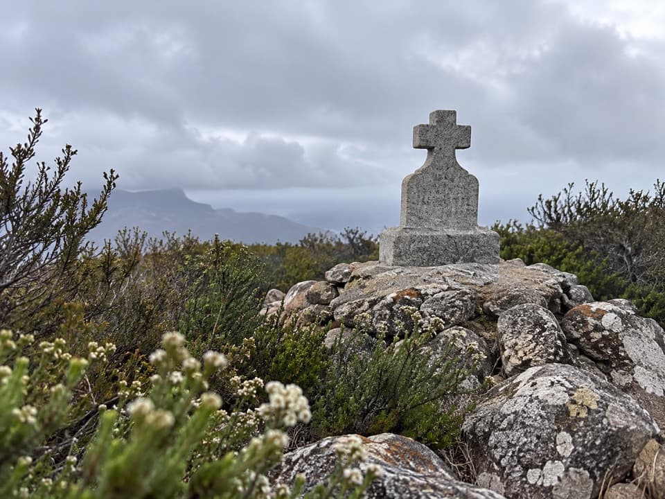
San Miguel's long historySeagoing Chumash people have lived on the island for about 10,000 years.

Seagoing Chumash people have lived on the island for about 10,000 years. Juan Rodriguez Cabrillo came ashore in 1542. After roughly a century of sheep ranching, the island was used by the military; the Navy still owns it, and the National Park Service manages it.

Wildlife

Wildlife in Channel Islands

All Channel Islands wildlife maps

Sighting maps show where each species has been reported across Channel Islands. Wildlife moves, so no sighting is guaranteed.

Parkwolf’s Channel Islands ranking

Top-rated trails in Channel Islands

All 48 trails
  1. 1Potato Harbor Overlook HikeModerate · 5 mi
  2. 2Cavern Point Loop HikeModerate · 2 mi
  3. 3Inspiration Point HikeEasy · 1.5 mi
  4. 4Smuggler’s Cove HikeChallenging · 7.5 mi
  5. 5Lobo Canyon HikeChallenging · 9.6 mi
  6. 6Torrey Pines Loop HikeChallenging · 7.5 mi

Take Parkwolf to Channel Islands.

The audio tour guide for the drive, plus offline maps, trails, and wildlife heatmaps for when the signal drops.

4.7 from 8,600+ ratings

Download Parkwolf on the App StoreGet Parkwolf on Google Play