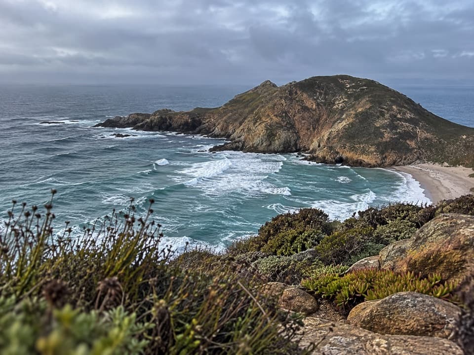
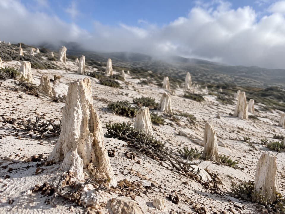
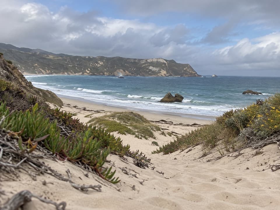
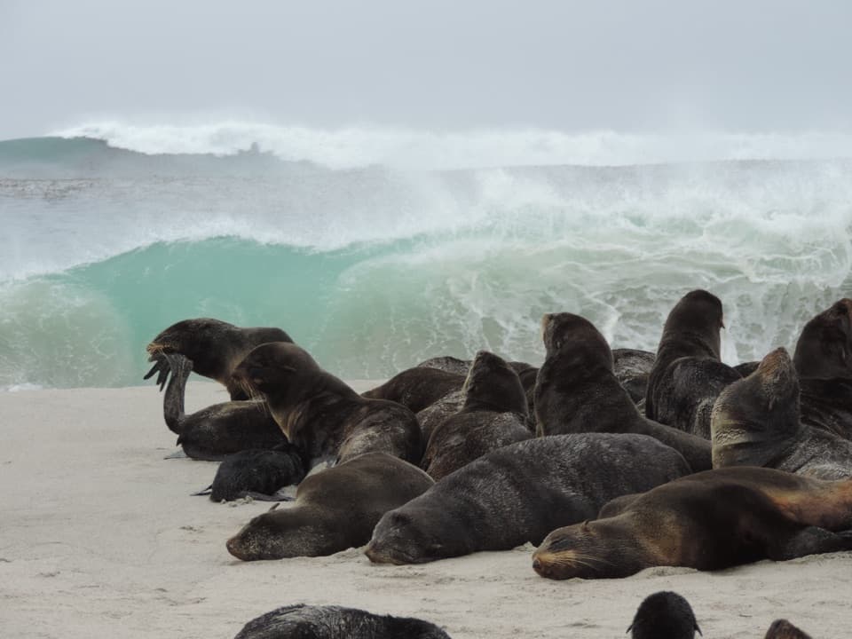
Lester Ranch Site in Channel Islands National Park

Sight · Channel Islands National Park

Lester Ranch Site

A ranch built from shipwreck timber, now mostly rubble.

Type
Sight
Nearest trail
0.3 mi

Overview

About Lester Ranch Site

Why stop

  • Distinctive shipwreck-timber history and visible ranch remains.

Heads up

  • A permit-required island trip and a strenuous walk from Cuyler Harbor.

Map

Where it is

Loading the Channel Islands map
Full map
SightLester Ranch Site34.03929, -120.35016
Keep this map with you offline in the Parkwolf app

Plan your stop

Before you go

2 active Channel Islands alerts

  • ClosureSanta Rosa Island wildfire-recovery closuresBurned areas on Santa Rosa Island remain closed during wildfire recovery, and Southeast Quadrant backcountry beach camping is closed for the remainder of the 2026 recreation season.Official details
  • InfoSanta Barbara Island dock closed; landings restrictedThe Santa Barbara Island dock is closed; land only on the adjacent rocky ledge.Official details
Channel Islands alerts
A park ranger sits on a dash-mounted phone, talking, as Parkwolf’s Tour Guide plays “Army Cutworm Moths: A Grizzly Bear Buffet” on Grand Loop Road below Dunraven Pass in Yellowstone
Parkwolf Tour GuideThe highest, rockiest slopes around here are a summer buffet for grizzly bears.

Channel Islands Tour Guide

Your drive to Lester Ranch Site, narrated.

Parkwolf is a GPS audio tour guide for Channel Islands National Park. As you drive, it chimes in with what’s ahead: hidden gems, upcoming stops, history, geology, and wildlife, right through your car’s speakers.

See the Channel Islands audio tour
  • 16 audio storiesacross Channel Islands’s roads, triggered by GPS as you drive
  • Wildlife heatmapsfor Island Fox, Humpback Whale, Blue Whale, and 13 more
  • Works offlinemaps, 48 trails, 75 places, and audio download before you lose signal
  • CarPlay readysimple controls built for the drive
★★★★★
“Fantastic app with many points of information… It’s great to just turn on while you’re driving and it gives you an audio tour of the national Park. We love it!!!!”
JMJamesApp Store review
Download Parkwolf on the App StoreGet Parkwolf on Google Play

4.7 from 8,600+ ratings

Guide

More about Lester Ranch Site

What this stop isLester Ranch Site is the ruin of San Miguel Island's largest ranch house, reached on foot from…

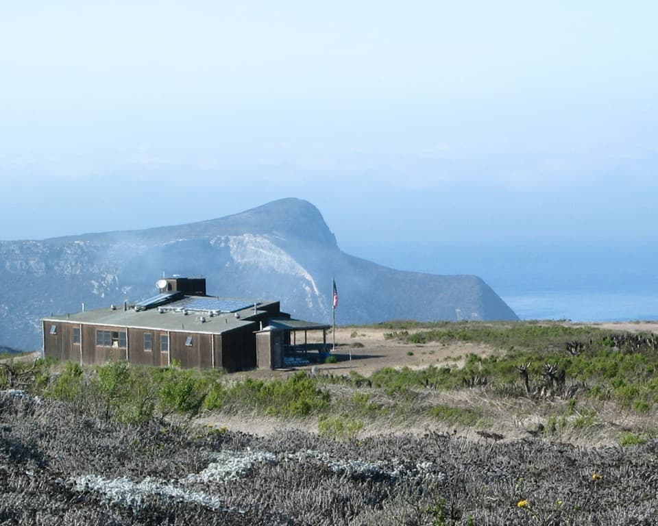
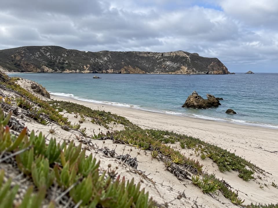
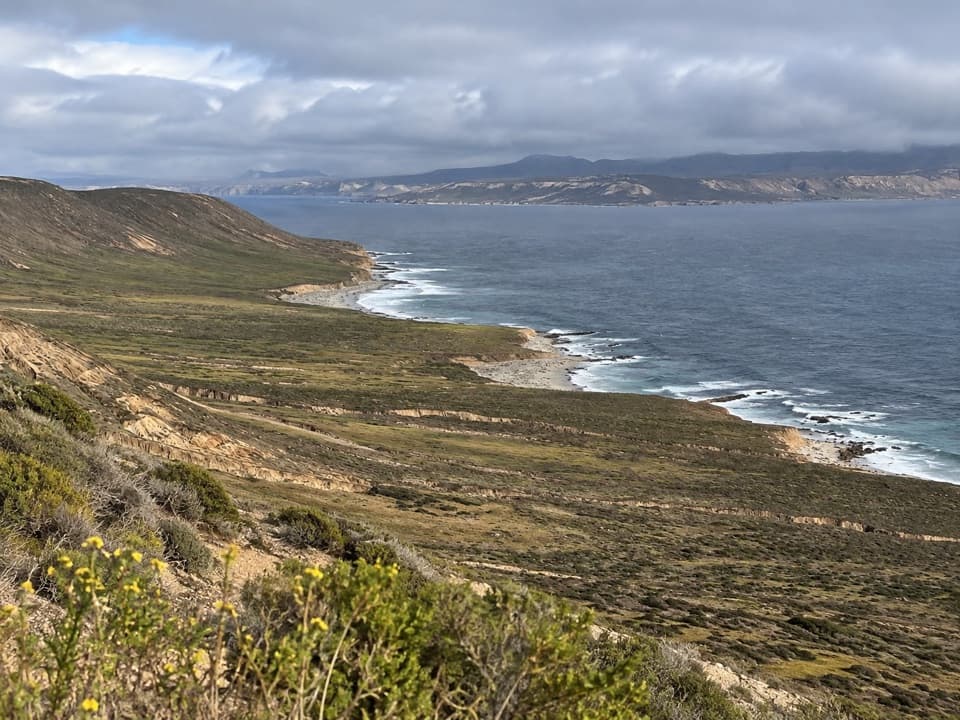
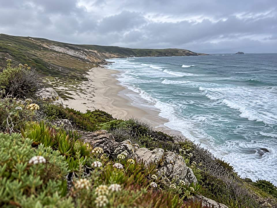
Lester Ranch Site is the ruin of San Miguel Island's largest ranch house, reached on foot from Cuyler Harbor. It is a stop for visitors already making the island walk and interested in its ranching history; the house is gone, so expect scattered remains rather than rooms to enter.

Plan around the island walkSan Miguel is reached by boat, with visitors landing by skiff on Cuyler Harbor beach.

San Miguel is reached by boat, with visitors landing by skiff on Cuyler Harbor beach. The island is open only when National Park Service staff are present, and a permit is required. From the harbor, the ranch is an inland walk. The strenuous Crook Point route is listed as a 5-mile round trip and passes the ranch, but the distance to the ranch alone is not specified. Stay on designated trails and check with island staff about that day's access. The ranch is listed among the areas visitors may explore without a ranger; a ranger is required beyond the ranger station. There is no potable water or shade on the island, so bring water and food for the outing.

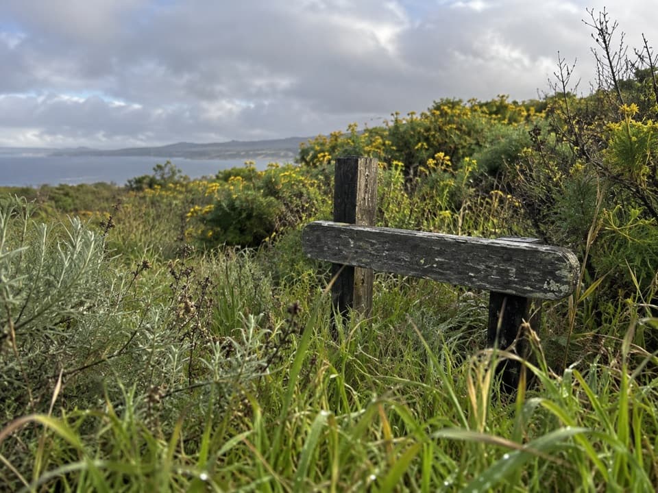
Built for the wind, from a shipwreckWork began in 1906 under ranch manager John Russell, using salvaged lumber from wrecks around…

Work began in 1906 under ranch manager John Russell, using salvaged lumber from wrecks around the island, especially redwood from the J. M. Coleman, which went aground at Point Bennett in 1905. Burros hauled the timber to the site. The long, narrow house measured 125 by 16 feet and had double walls to stand up to San Miguel's strong winds. The house had 11 rooms and a porch along an interior courtyard.

The Lester yearsHerbert Lester managed the ranch for leaseholder Robert Brooks.

Herbert Lester managed the ranch for leaseholder Robert Brooks. Lester, his wife and their two daughters lived here from 1930 until 1942; he was known for welcoming visitors and showing them around. The house burned in 1967 after a Navy flare reportedly started a fire during weapons testing.

What remainsLook for the collapsed chimney and fireplace, scattered ranch hardware, and two cement-lined…

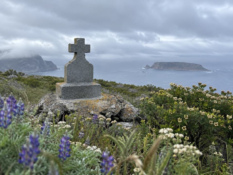
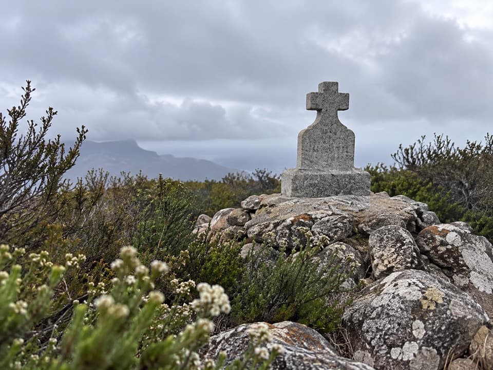
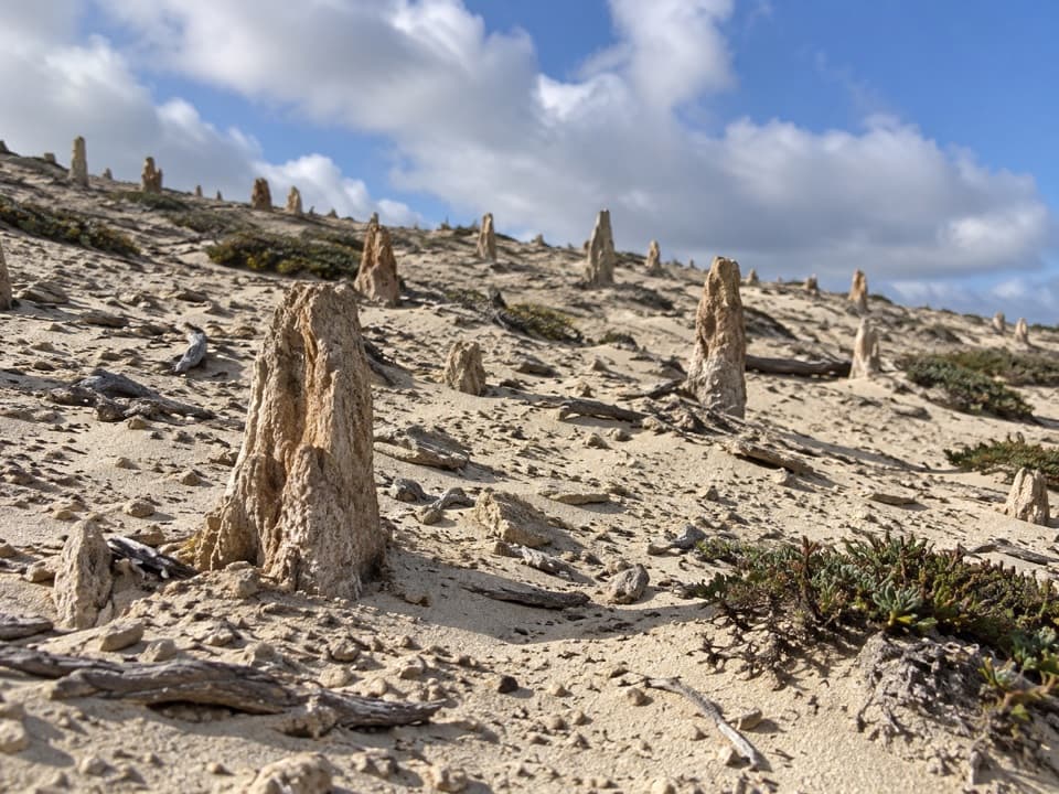
Look for the collapsed chimney and fireplace, scattered ranch hardware, and two cement-lined excavations thought to be a cistern and root cellar. The remains of a fig tree are another surviving trace. The ranch belongs to a longer story of sheep grazing on San Miguel: grazing stripped vegetation and contributed to wind and water erosion before the last sheep were removed in 1967.

Wildlife

Wildlife in Channel Islands

All Channel Islands wildlife maps

Sighting maps show where each species has been reported across Channel Islands. Wildlife moves, so no sighting is guaranteed.

Keep exploring

Near Lester Ranch Site

See it all on the map

Trails nearby

More stops nearby

Parkwolf’s Channel Islands ranking

Top sights in Channel Islands

All 75 places
  1. 1Inspiration PointSight
  2. 2Scorpion Anchorage and BeachBeach
  3. 3Arch RockSight
  4. 4Potato Harbor OverlookSight
  5. 5Painted CaveSight
  6. 6Cavern PointSight

Take Parkwolf to Channel Islands.

The audio tour guide for the drive, plus offline maps, trails, and wildlife heatmaps for when the signal drops.

4.7 from 8,600+ ratings

Download Parkwolf on the App StoreGet Parkwolf on Google Play