Parking
Herman Creek Trailhead, at the west end of Herman Creek Campground. A valid recreation pass is required. In winter the road gate may close; park legally along Frontage Road and walk 0.4 mile on the paved road to the trailhead.
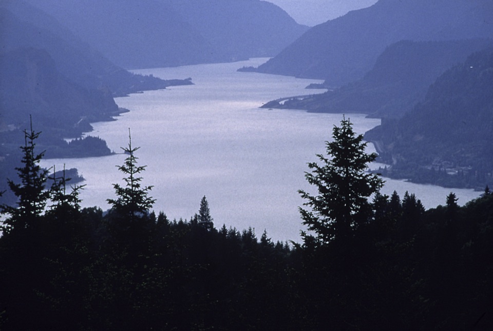
Columbia River Gorge National Scenic Area, OR · WA
A long climb earns the high plateau and a Larch Mountain view.
Overview
Map & elevation
Plan your hike

The highest, rockiest slopes around here are a summer buffet for grizzly bears.
Columbia River Gorge Tour Guide
Parkwolf is a GPS audio tour guide for Columbia River Gorge National Scenic Area. As you drive, it chimes in with what’s ahead: hidden gems, upcoming stops, history, geology, and wildlife, right through your car’s speakers.
Recorded for this trailhead
Herman Creek Trailhead“You're approaching Herman Creek Trailhead, where Trail 406 leads into old-growth fir and cedar, mossy creeks, and waterfalls.”
Plays as you drive up to this trailhead in the Parkwolf Columbia River Gorge Tour Guide.
More stories near here in the app
“Fantastic app with many points of information… It’s great to just turn on while you’re driving and it gives you an audio tour of the national Park. We love it!!!!”


Trail guide
Benson Plateau Loop is a 16.2-mile circuit that starts and ends at Herman Creek Trailhead. It climbs Herman Creek Trail and the bridge connector to the Pacific Crest Trail, continues south onto the plateau, then circles back via Benson-Ruckel, Ruckel Creek, Benson Spur and Benson Way. The total includes a long out-and-back on the upper PCT and the shared access approach; climbing totals 4,080 feet. This is an expert-level, full-day hike. Plan about 10 to 12 hours with rests, not a quick viewpoint trip.
The first stretch passes through a power-line clearing before the bridge connector meets the PCT. Here the climb is sustained: from about 960 feet, the PCT gains to roughly 3,700 feet over its first 2.7 miles. The route enters Mark O. Hatfield Wilderness at about 2,000 feet; beyond that, the path eases as the plateau opens into high forest. Continue south past a Benson Way junction to Benson-Ruckel Trail. On the return, the PCT is a long downhill walk, but there are still many miles after the high point.
Benson-Ruckel leads to Ruckel Creek Trail, then Benson Spur reaches Benson Way. The west-side stretch of 405B skirts the plateau and offers a view toward Larch Mountain; it also crosses the Ruckel Creek Trail near Hunter’s Camp before reaching the PCT. The draw is the long forest traverse and high country, not a summit scramble. The plateau’s name comes from Thomas C. Benson, a stockman who lived in Cascade Locks, rather than the better-known Simon Benson.
Start at Herman Creek Trailhead, at the west end of Herman Creek Campground. A valid recreation pass is required. The winter road gate may be shut; if so, park legally along Frontage Road and walk 0.4 mile on the paved road to the trailhead. The route enters Mark O. Hatfield Wilderness, where a free self-issued permit is required at the boundary, and dogs must be leashed. Restrooms are at the trailhead. Cascade Locks restaurants and the riverfront brewpub and café are a separate stop after the hike.
Wildlife
 267 sightingsBald EagleMost seen around 7 AMSighting map
 51 sightingsBlack BearMost seen around 7 PMSighting map
 136 sightingsAmerican PikaMost seen around 8 AMSighting map
 16 sightingsWapitiMost seen around 7 AMSighting map
 195 sightingsMule DeerMost seen around 7 AMSighting map
 74 sightingsChinook SalmonMost seen around 6 PMSighting map
Sighting maps show where each species has been reported across Columbia River Gorge. Wildlife moves, so no sighting is guaranteed.
Keep exploring
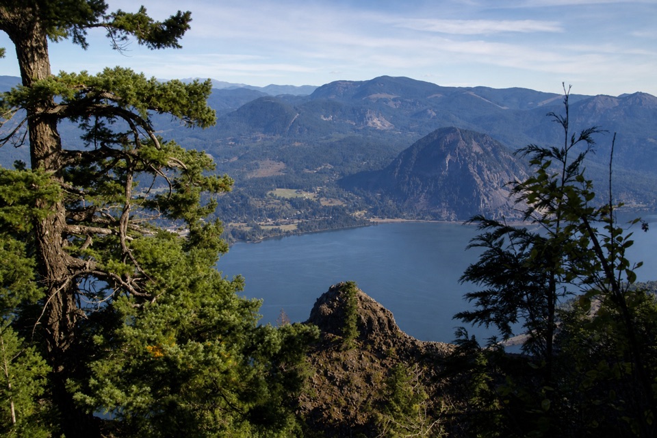 ChallengingIndian Point Loop7.6 mi · 6 hr · At the trailheadA hard Gorge loop with Indian Point and Mount Hood views.
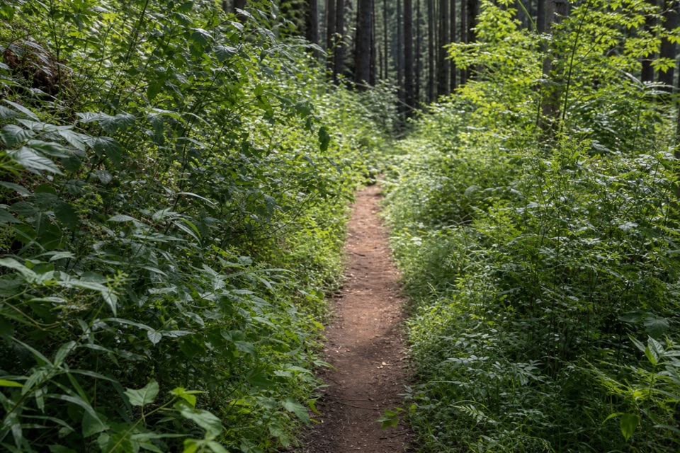 ChallengingHerman Creek Trail #40611.2 mi · 9 hr · At the trailheadA full-day climb through old growth to the Pacific Crest Trail.
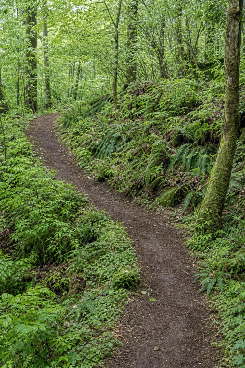 ChallengingHerman Creek to Mud Lake18 mi · 11 hr · At the trailheadWaterfalls, old growth, and a high lake reward a full-day climb.
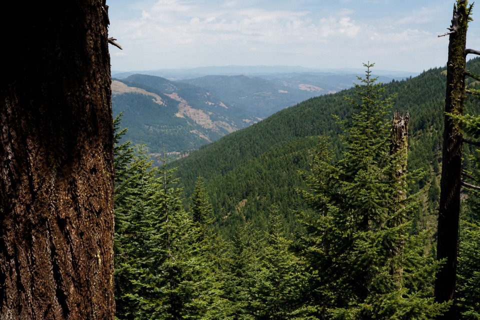 ChallengingNick Eaton Ridge Loop12.5 mi · 9.5 hr · At the trailheadA full-day climb earns a ridge meadow view.
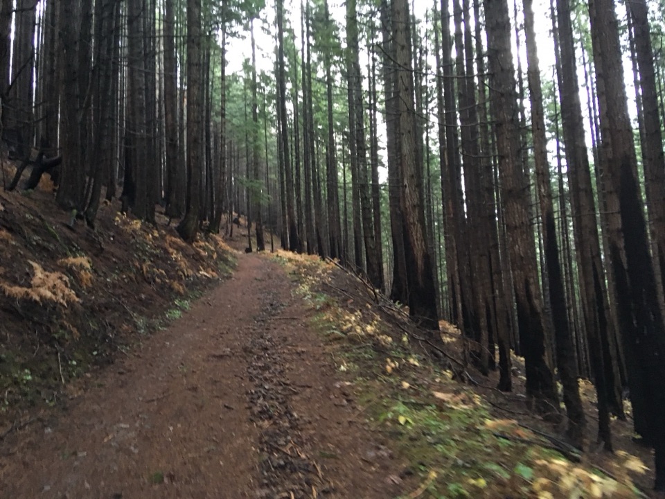 ModerateHerman Creek to Casey Creek8 mi · 5 hr · At the trailheadA steady climb past waterfalls to a shaded Casey Creek crossing.
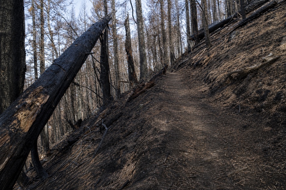 ChallengingGorton Creek Trail #4089.1 mi · 12 hr · 0.7 mi awayA steep one-way wilderness route with brushy tread beyond Deadwood.
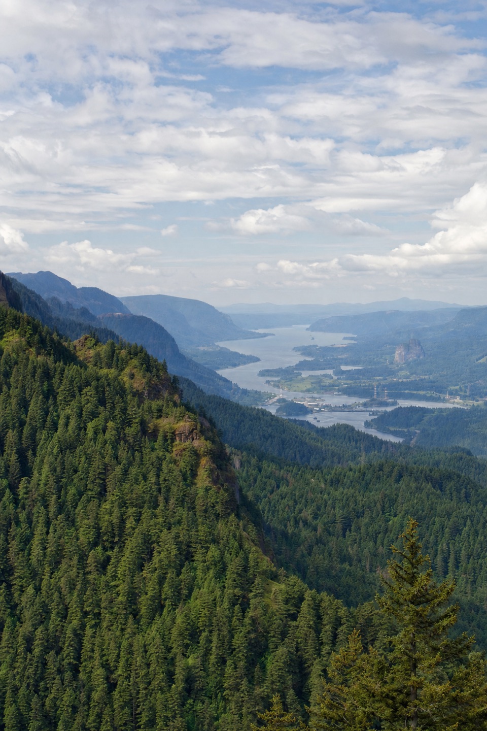 ChallengingNick Eaton Trail4.1 mi · 4 hr · 0.8 mi awayA steep, fire-scarred climb to a rocky ridge high above the Gorge.
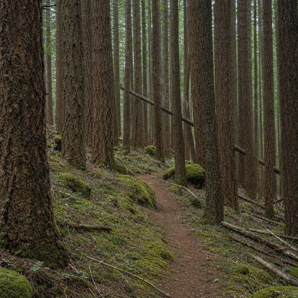 ChallengingDeadwood Trail #4220.5 mi · 1.3 hr · 2.6 mi awayA faint wilderness link between two longer routes.
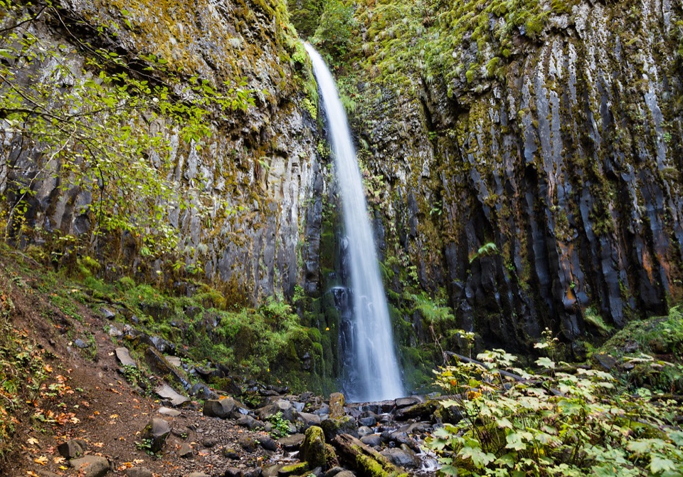 Sight · 2.1 mi awayDry Creek FallsA basalt cleft waterfall beside old concrete diversion works.
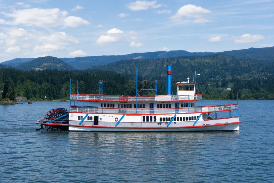 Sight · 2.5 mi awaySternwheeler Columbia GorgeSee the river from a replica sternwheeler’s open deck.
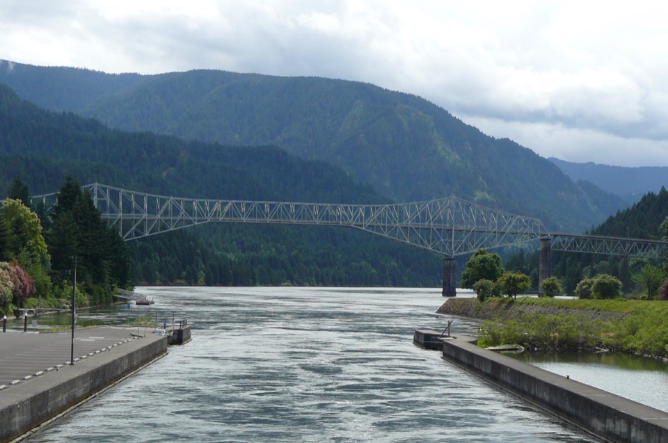 Sight · 2.7 mi awayCascade Locks Marine ParkAn island bridge walk that opens onto Gorge and river views.
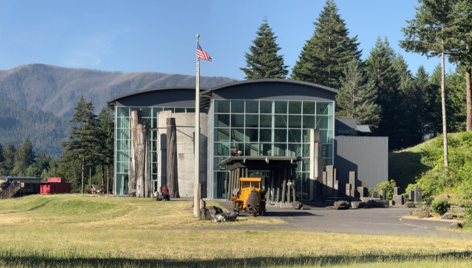 Sight · 2.7 mi awayColumbia Gorge MuseumSee the fishwheel, log truck, and biplane behind Gorge history.
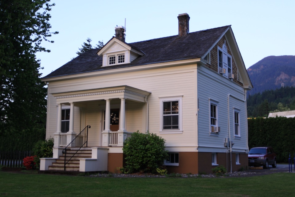 Sight · 2.7 mi awayCascade Locks Historical MuseumA lock tender’s house full of Gorge history.
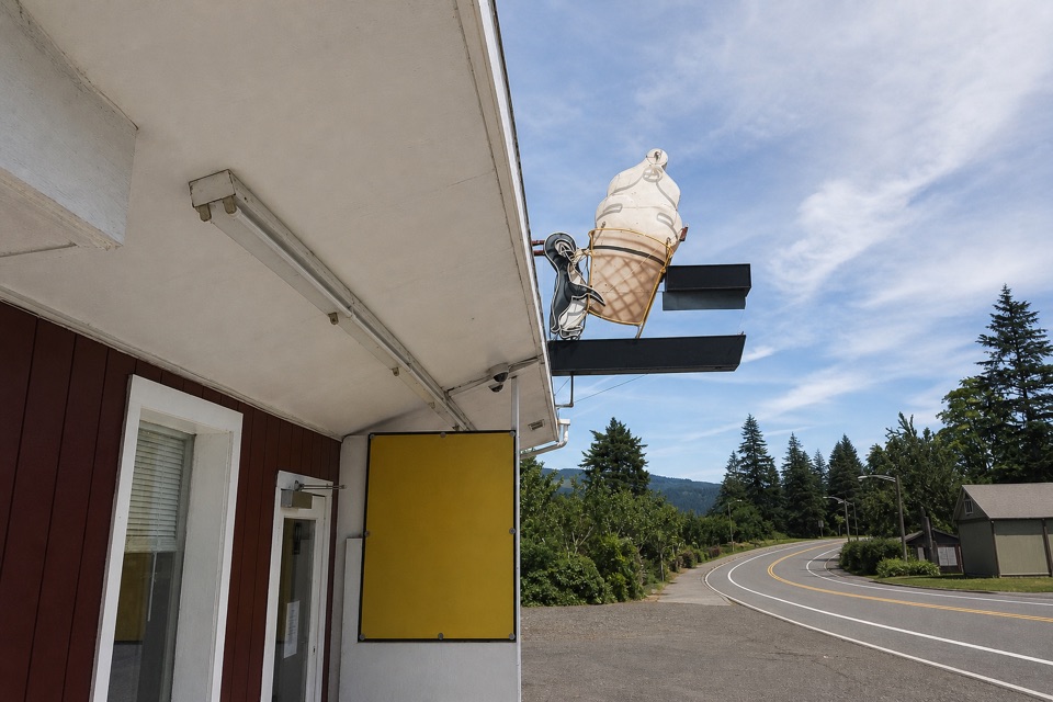 Food · 2.7 mi awayEast Wind Drive-InSave room for the super-tall soft-serve cone.
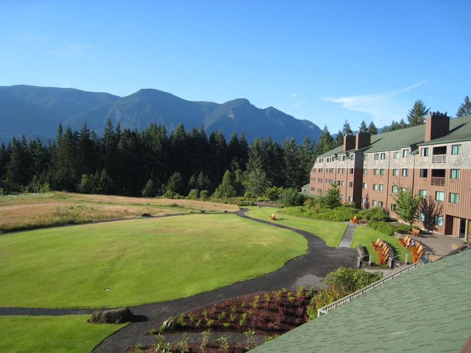 Lodging · 3 mi awaySkamania LodgeA wooded Gorge resort with on-site trails, golf and regional dining.
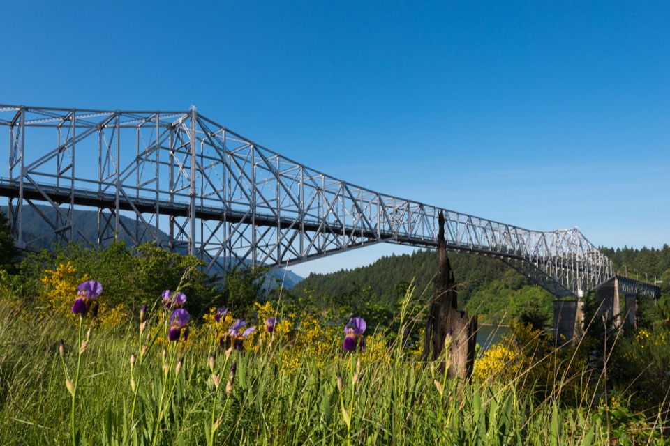 Sight · 3.1 mi awayBridge of the GodsA steel crossing shared by drivers and Pacific Crest Trail hikers.
Parkwolf’s Columbia River Gorge ranking

The audio tour guide for the drive, plus offline maps, trails, and wildlife heatmaps for when the signal drops.





