Parking
Start at Toll House Park, the wooded parking area off the Bridge of the Gods approach road. A Northwest Forest Pass or cash kiosk payment is required; the paved Harvey Road lot is a separate access, not the start for this route.
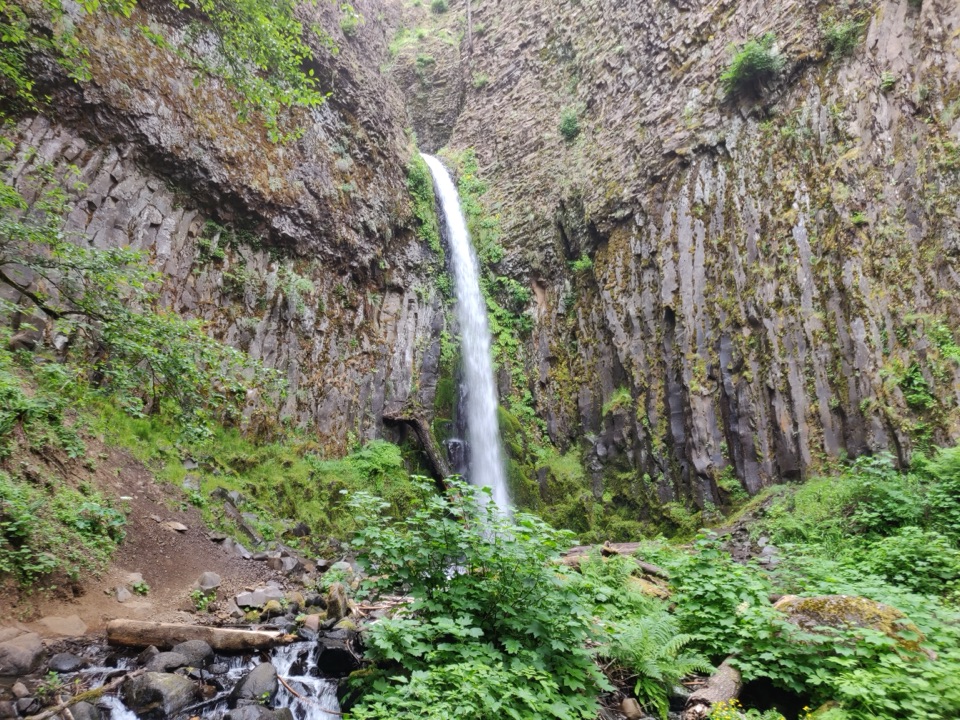
Columbia River Gorge National Scenic Area, OR · WA
A basalt waterfall and pinnacles on a longer PCT outing.
Overview
Map & elevation
Plan your hike

The highest, rockiest slopes around here are a summer buffet for grizzly bears.
Columbia River Gorge Tour Guide
Parkwolf is a GPS audio tour guide for Columbia River Gorge National Scenic Area. As you drive, it chimes in with what’s ahead: hidden gems, upcoming stops, history, geology, and wildlife, right through your car’s speakers.
Recorded for this area
Bridge of the Gods“You're coming up on the Bridge of the Gods, the steel toll bridge between Cascade Locks and Washington.”
Plays on the road 0.1 mi from the trailhead in the Parkwolf Columbia River Gorge Tour Guide.
More stories near here in the app
“Fantastic app with many points of information… It’s great to just turn on while you’re driving and it gives you an audio tour of the national Park. We love it!!!!”


Trail guide
Dry Creek Falls to Herman Creek is an 8.6-mile out-and-back from Toll House Park. Follow the Pacific Crest Trail (PCT) to Dry Creek Falls, return to the Dry Creek crossing, then continue 1.6 miles east to the Herman Creek Pinnacles before retracing the route. Allow about 4.5 to 5 hours. The waterfall is the first payoff, but this is a longer half-day walk, not a quick stop; the forested PCT and angular basalt outcrops give you another reason to keep going.
Cross the Bridge of the Gods approach road from Toll House Park to reach the PCT. It runs beside I-84 for about 400 feet, then turns up Moody Avenue beneath the freeway. At the twin trailheads, take the left PCT rather than Gorge Trail 400. The climb is gradual. After about a mile, turn briefly onto the power-line access road and then left at the PCT sign; the trail passes a minor summit before descending to Dry Creek. Expect a forest walk with maples, fir, moss and ferns, plus rougher footing around the creek. Turn right at Dry Creek Road and follow the rocky side trail to the falls, which drop through a basalt amphitheater. A vertical frame that keeps both basalt walls around the water shows the narrow cascade in its setting. Dry Creek once supplied the lock gates at Cascade Locks from 1896 to 1937; diversion left the creekbed dry, and Bonneville Dam later submerged the Great Cascades and much of the canal.
Return to the PCT bridge at Dry Creek and head east 1.6 miles to the triangular basalt outcrops, then retrace the route to Toll House Park. The PCT crosses a hillside with a noticeable side slope on this stretch; give the tread attention. Dogs are allowed, and leashes are recommended. A Northwest Forest Pass or kiosk payment is required at Toll House Park; trailhead restrooms close in winter. For food afterward, Wa-Na-Pa Street in Cascade Locks has options including locally caught salmon chowder, pizza and brewpub fare; these are a separate stop in town.
Wildlife
 267 sightingsBald EagleMost seen around 7 AMSighting map
 51 sightingsBlack BearMost seen around 7 PMSighting map
 136 sightingsAmerican PikaMost seen around 8 AMSighting map
 16 sightingsWapitiMost seen around 7 AMSighting map
 195 sightingsMule DeerMost seen around 7 AMSighting map
 74 sightingsChinook SalmonMost seen around 6 PMSighting map
Sighting maps show where each species has been reported across Columbia River Gorge. Wildlife moves, so no sighting is guaranteed.
Keep exploring
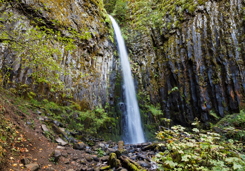 ModerateDry Creek Falls via the Pacific Crest Trail4.1 mi · 3 hr · 0.2 mi awayA steady PCT climb ends at a basalt-framed cascade.
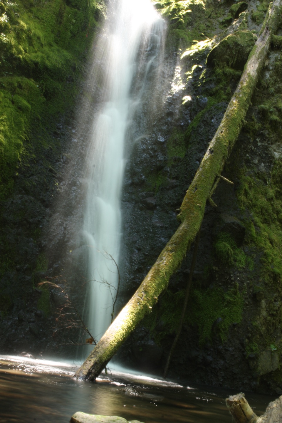 ChallengingRuckel Creek Trail #4055.8 mi · 5.5 hr · 1.6 mi awayA steep creek climb reaches spring meadows and the Benson Plateau.
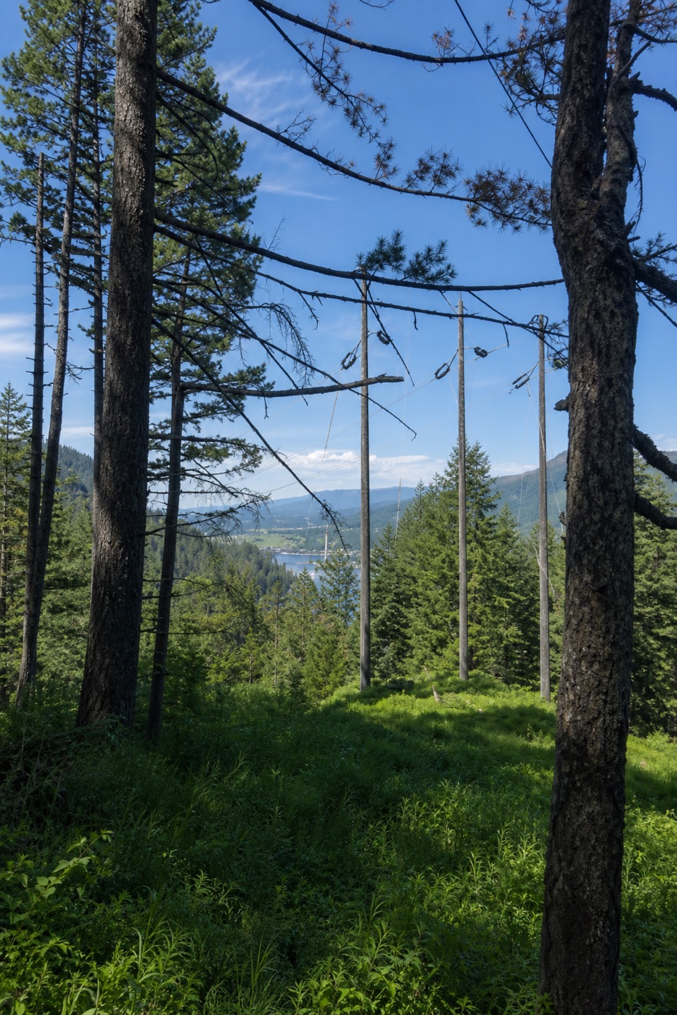 ModerateBuck Point Trail1.1 mi · 1.5 hr · 1.9 mi awaySteep steps lead to a Gorge river view beneath the powerlines.
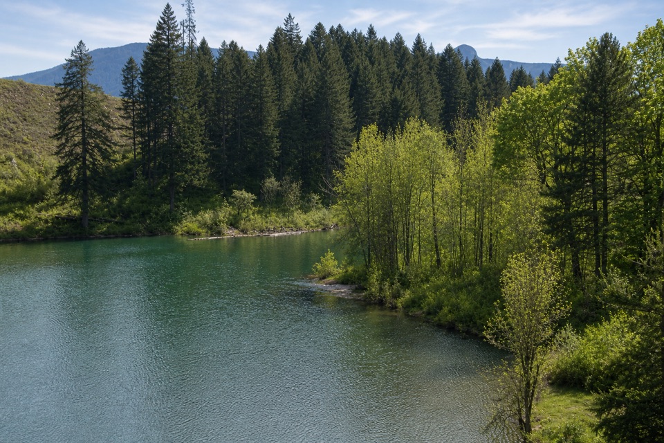 ModerateGillette Lake5.3 mi · 3 hr · 2 mi awayA forest climb to blue-green water and landslide ponds.
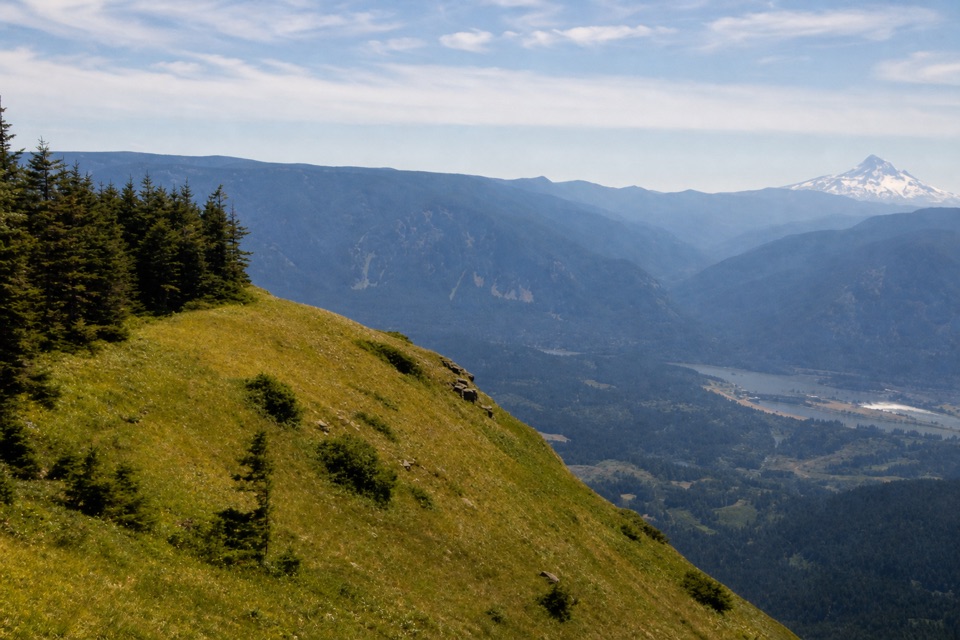 ChallengingTable Mountain from Bonneville Trailhead15.5 mi · 11 hr · 2 mi awayA hard climb to sheer cliffs above the Columbia Gorge.
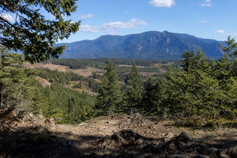 ModerateGreenleaf Overlook7.9 mi · 4.5 hr · 2 mi awayFollow the PCT to a mossy perch above the Bonneville Slide.
 ChallengingEagle Creek Trail #440 to Tunnel Falls11.7 mi · 7 hr · 2.1 mi awayFollow Eagle Creek past cliffside falls to a tunnel behind the water.
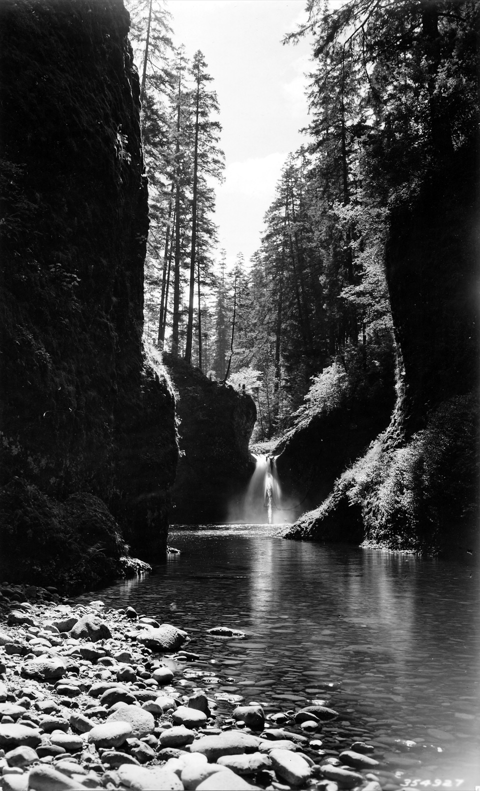 ModerateEagle Creek to Punch Bowl Falls3.8 mi · 2.5 hr · 2.1 mi awayA narrow, cabled path above Eagle Creek leads to the falls.
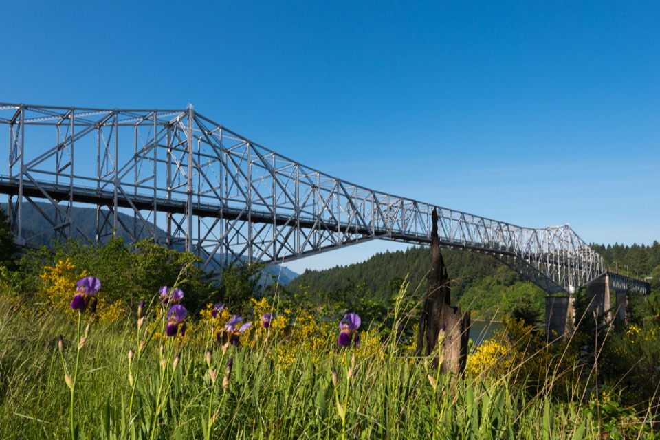 Sight · 0.1 mi awayBridge of the GodsA steel crossing shared by drivers and Pacific Crest Trail hikers.
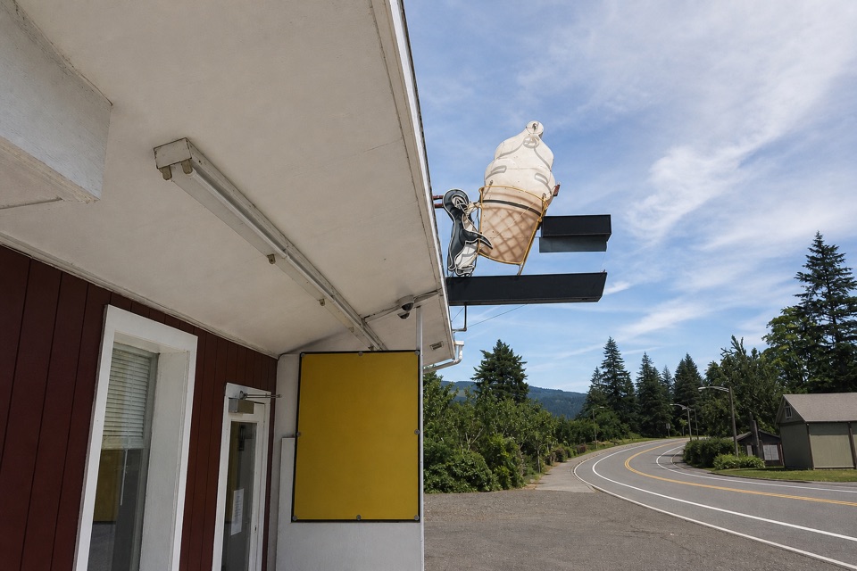 Food · 0.4 mi awayEast Wind Drive-InSave room for the super-tall soft-serve cone.
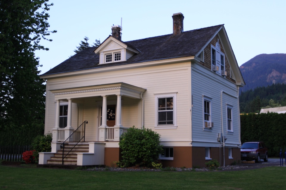 Sight · 0.4 mi awayCascade Locks Historical MuseumA lock tender’s house full of Gorge history.
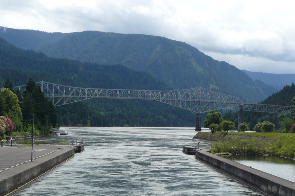 Sight · 0.4 mi awayCascade Locks Marine ParkAn island bridge walk that opens onto Gorge and river views.
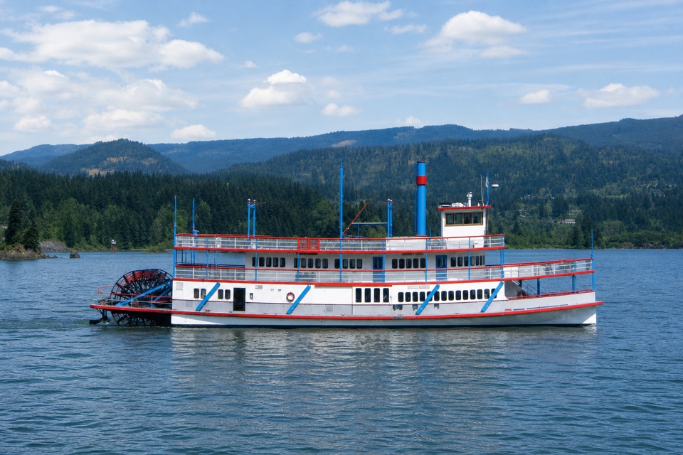 Sight · 0.7 mi awaySternwheeler Columbia GorgeSee the river from a replica sternwheeler’s open deck.Sight · 1.5 mi awayDry Creek FallsA basalt cleft waterfall beside old concrete diversion works.
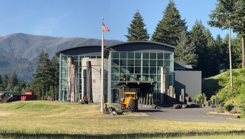 Sight · 1.6 mi awayColumbia Gorge MuseumSee the fishwheel, log truck, and biplane behind Gorge history.
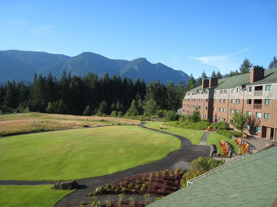 Lodging · 1.7 mi awaySkamania LodgeA wooded Gorge resort with on-site trails, golf and regional dining.
Parkwolf’s Columbia River Gorge ranking

The audio tour guide for the drive, plus offline maps, trails, and wildlife heatmaps for when the signal drops.




