Parking
Bonneville Trailhead is off SR 14 near North Bonneville; take Tamanous Trail #27 from the far end of the lot. A day-use fee or accepted recreation pass applies. Vault toilets are available; no potable water.
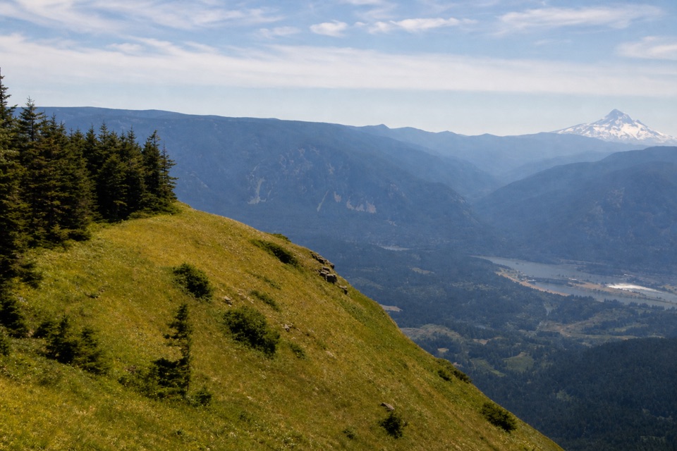
Columbia River Gorge National Scenic Area, OR · WA
A hard climb to sheer cliffs above the Columbia Gorge.
Overview
Map & elevation
Plan your hike

The highest, rockiest slopes around here are a summer buffet for grizzly bears.
Columbia River Gorge Tour Guide
Parkwolf is a GPS audio tour guide for Columbia River Gorge National Scenic Area. As you drive, it chimes in with what’s ahead: hidden gems, upcoming stops, history, geology, and wildlife, right through your car’s speakers.
Recorded for this area
Washington Shore Visitor Center at Bonneville Dam“You're approaching the Washington Shore Visitor Center at Bonneville Dam, reached from Route 14 by Dam Access Road.”
Plays on the road 0.1 mi from the trailhead in the Parkwolf Columbia River Gorge Tour Guide.
More stories near here in the app
“Fantastic app with many points of information… It’s great to just turn on while you’re driving and it gives you an audio tour of the national Park. We love it!!!!”


Trail guide
This is the Bonneville Trailhead route to Table Mountain: a 15.5-mile out-and-back with a small summit loop, climbing West Table Mountain Trail and descending Heartbreak Ridge. The whole outing gains about 4,300 feet and takes most of a day; allow roughly 10 to 12 hours with stops. Its payoff is a broad, grass-topped summit above the raw cliffs of the Bonneville Landslide, with the Columbia Gorge, Mount Hood and higher Cascade peaks spread around it. The route reaches that view through dense forest, clearcuts, lake country and a final belt of loose rock. It is an all-day mountain hike, not a short viewpoint walk.
Pick this approach if you want a long, demanding day that builds from a river-level trailhead to a high Gorge summit. The grade is sustained over many miles, then steepens sharply near the top; rolling talus and faint junctions make the last climb slower than the mileage suggests. The south rim has sheer drops, so the summit views require care and a willingness to stay well back from the edge. Hikers looking for an easy summit stroll or a simple signed route should choose another outing. The difficulty comes from the distance, climbing, loose footing and exposure; allow time to retrace the long PCT approach after the summit loop.
Tamanous Trail #27 starts at the far end of the Bonneville parking area. It climbs on gravel and then a wooded path, with an early look toward Bonneville Lock and Dam; after about 0.6 mile, turn left on the Pacific Crest Trail. Views narrow as the PCT crosses the old landslide through forest, clearcuts and beneath power lines. Some tread is faint, and public land and private parcels are mixed together, so stay on the marked route. The trail drops to Gillette Lake, where a short spur reaches a lakeside campsite, then crosses Gillette and Greenleaf creeks before climbing to Greenleaf Viewpoint. From there it contours above Carpenters Lake and its meadow toward Table Mountain. The lake, creek crossings and viewpoint break up the long approach, but there is no food stop on the trail.
At the west side of the mountain, stay on the PCT past the Heartbreak Ridge junction and continue to West Table Mountain Trail. The climb turns sharply steeper. Crude switchbacks cross loose talus near the windbreak rocks, where stones can roll underfoot. Higher up, the path enters trees, then opens onto summit meadow and ridge. Follow the established line to the south-edge viewpoints for the landslide cliffs and Mount Hood; the rim is exposed, so frame Mount Hood above the landslide cliffs while staying well back from the rim. A short summit connector joins Heartbreak Ridge for the descent. That trail drops about 700 feet in half a mile before reaching the PCT for the return to Bonneville.
Bonneville Trailhead is on SR 14 near North Bonneville, Washington. A day-use fee or accepted recreation pass applies; the day-use lot has vault toilets but no potable water, and there are no on-trail drinking water is established, so plan to carry or treat water. The Forest Service manages the trailhead, while parts of the route cross private forest land under access easements. Keep to the trail. Dogs are allowed on leash. The upper ridge is season-sensitive: snow can linger around the summit, even though the trailhead is open year-round for day use. The landslide that left Table Mountain’s steep southern face also dammed the Columbia and formed the original Bridge of the Gods. For food after the hike, Stevenson’s restaurants and brewpubs are about five miles east by car; they are a separate stop, not on the trail.
Wildlife
 267 sightingsBald EagleMost seen around 7 AMSighting map
 51 sightingsBlack BearMost seen around 7 PMSighting map
 136 sightingsAmerican PikaMost seen around 8 AMSighting map
 16 sightingsWapitiMost seen around 7 AMSighting map
 195 sightingsMule DeerMost seen around 7 AMSighting map
 74 sightingsChinook SalmonMost seen around 6 PMSighting map
Sighting maps show where each species has been reported across Columbia River Gorge. Wildlife moves, so no sighting is guaranteed.
Keep exploring
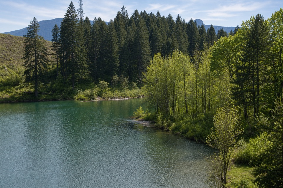 ModerateGillette Lake5.3 mi · 3 hr · At the trailheadA forest climb to blue-green water and landslide ponds.
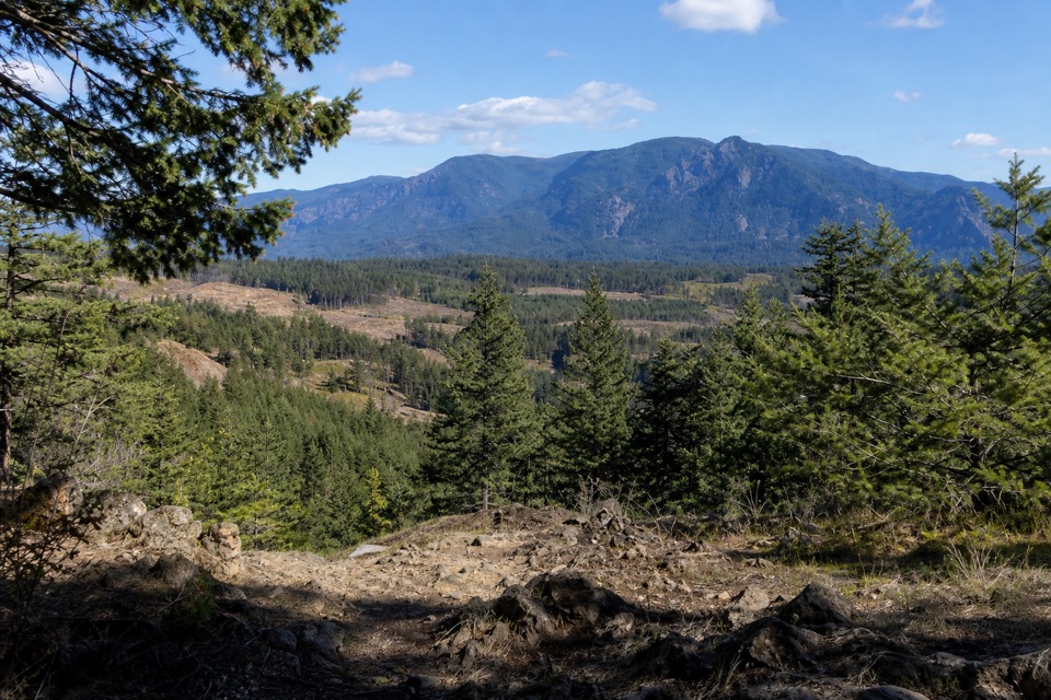 ModerateGreenleaf Overlook7.9 mi · 4.5 hr · At the trailheadFollow the PCT to a mossy perch above the Bonneville Slide.
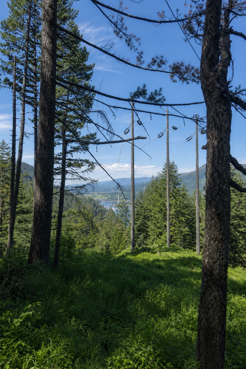 ModerateBuck Point Trail1.1 mi · 1.5 hr · 0.7 mi awaySteep steps lead to a Gorge river view beneath the powerlines.
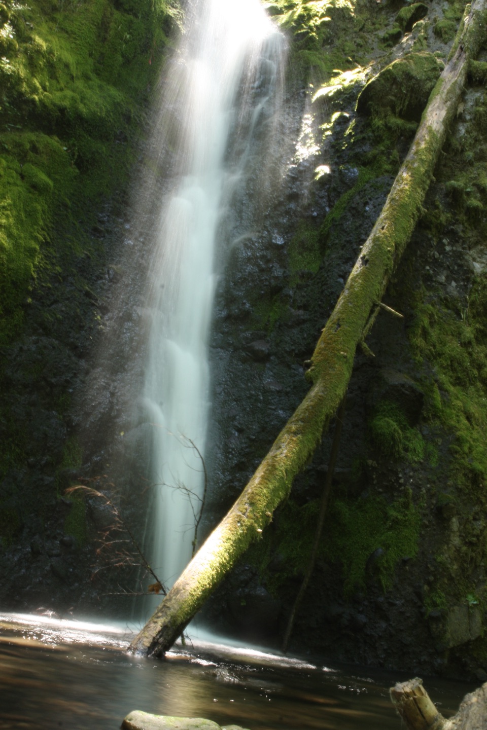 ChallengingRuckel Creek Trail #4055.8 mi · 5.5 hr · 0.8 mi awayA steep creek climb reaches spring meadows and the Benson Plateau.
 ChallengingEagle Creek Trail #440 to Tunnel Falls11.7 mi · 7 hr · 1.2 mi awayFollow Eagle Creek past cliffside falls to a tunnel behind the water.
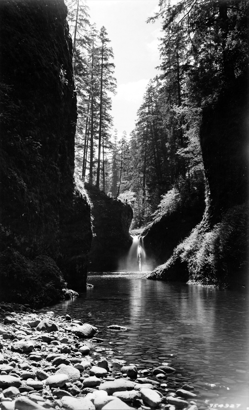 ModerateEagle Creek to Punch Bowl Falls3.8 mi · 2.5 hr · 1.2 mi awayA narrow, cabled path above Eagle Creek leads to the falls.
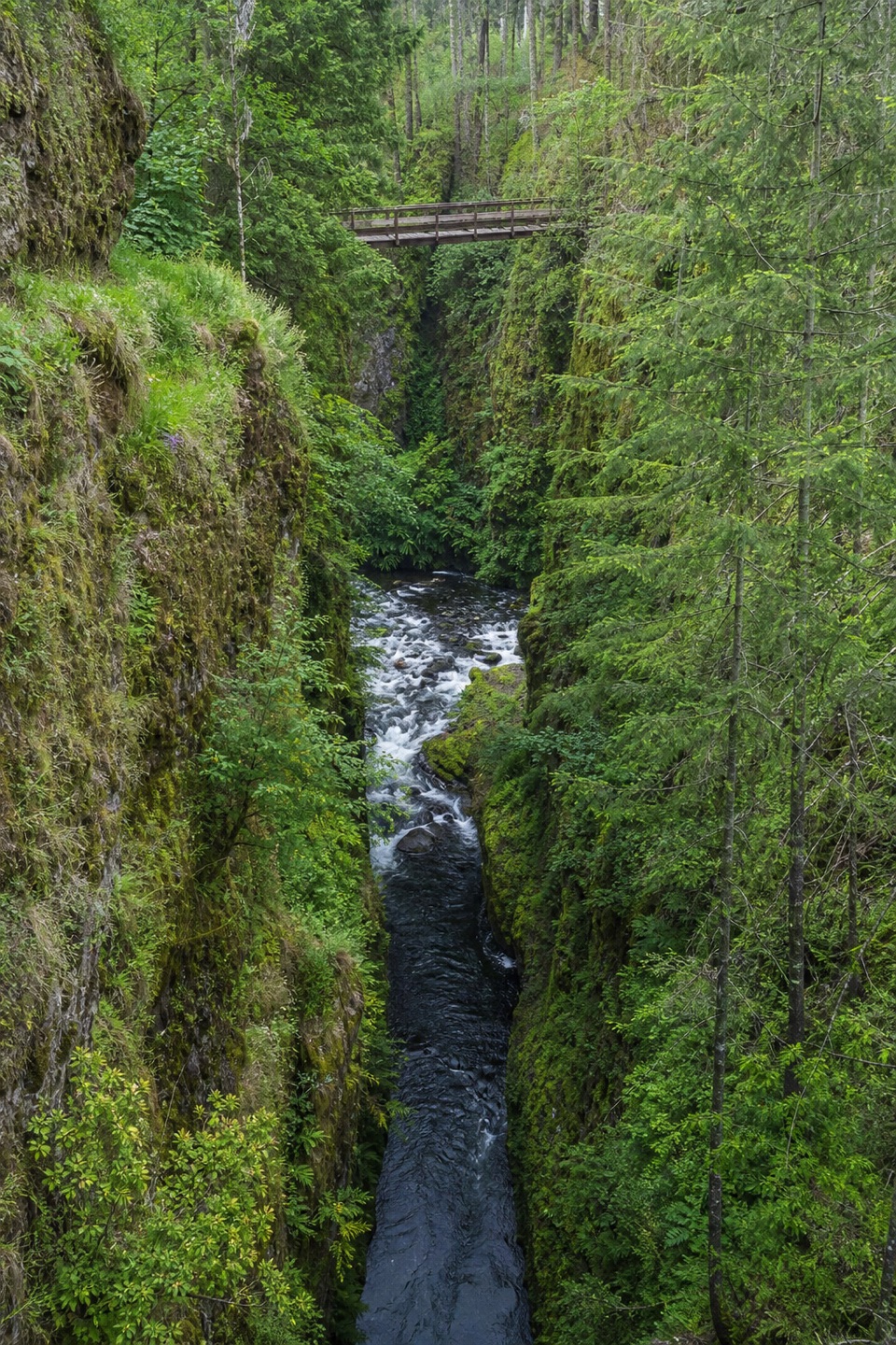 ModerateEagle Creek to High Bridge6.6 mi · 4 hr · 1.2 mi awayCabled cliff passages lead to waterfalls and a bridge over the gorge.
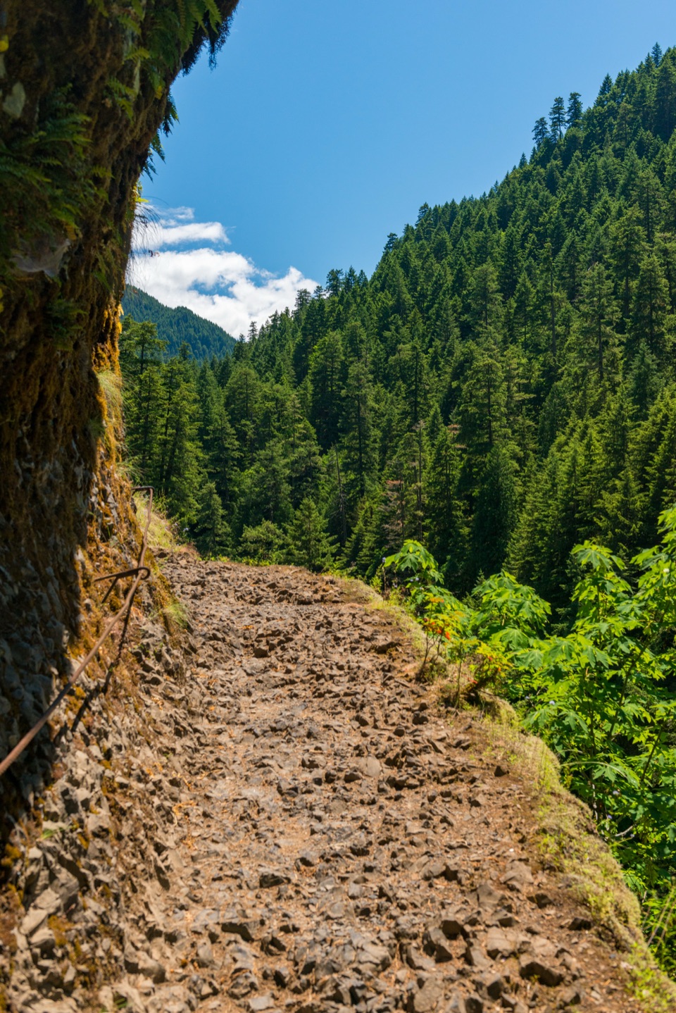 ChallengingEagle Creek Trail #440 to Wahtum Lake25.5 mi · 15 hr · 1.2 mi awayFollow Eagle Creek’s cliffside trail to a high-country lake.
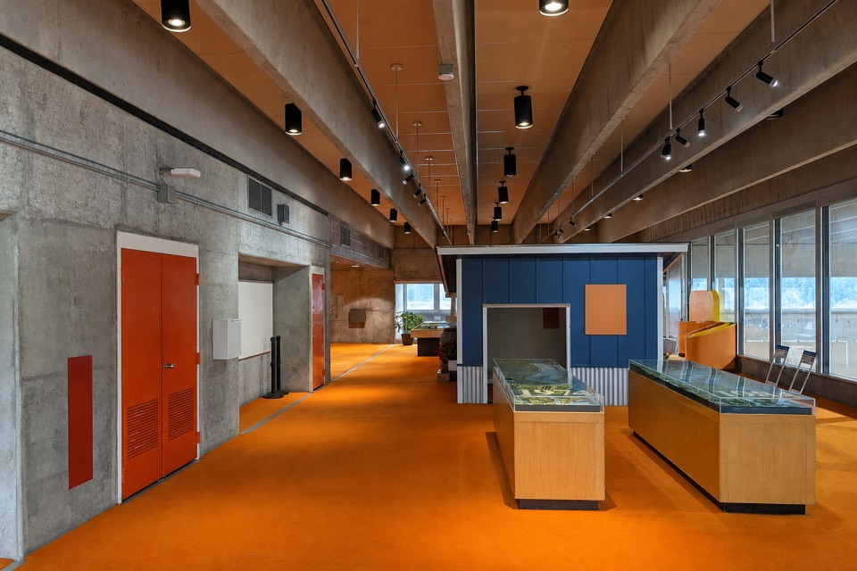 Visitor center · 0.1 mi awayWashington Shore Visitor CenterA fish ladder window and an 85-foot view into a powerhouse.
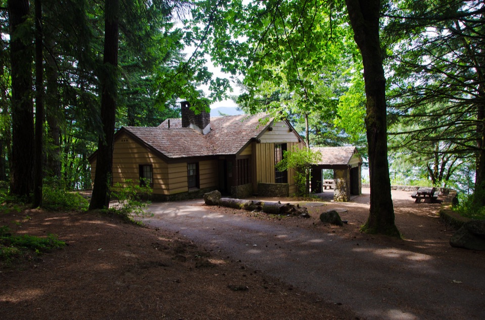 Campground · 0.6 mi awayEagle Creek Overlook Group CampgroundA CCC-built group campground with a bluff view of Bonneville Dam.
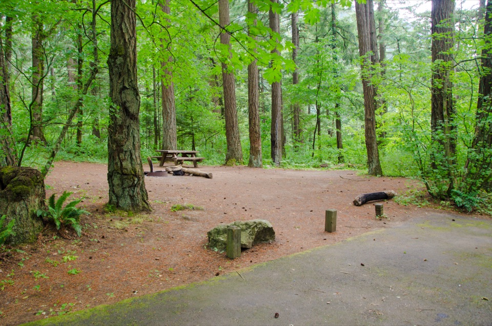 Campground · 0.7 mi awayEagle Creek CampgroundA shady 1916 campground at the foot of the Eagle Creek Trail.
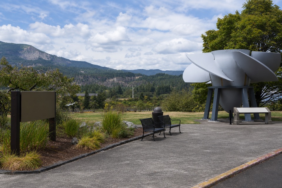 Visitor center · 0.8 mi awayBradford Island Visitor CenterFish ladder viewing and hydropower history under one roof.
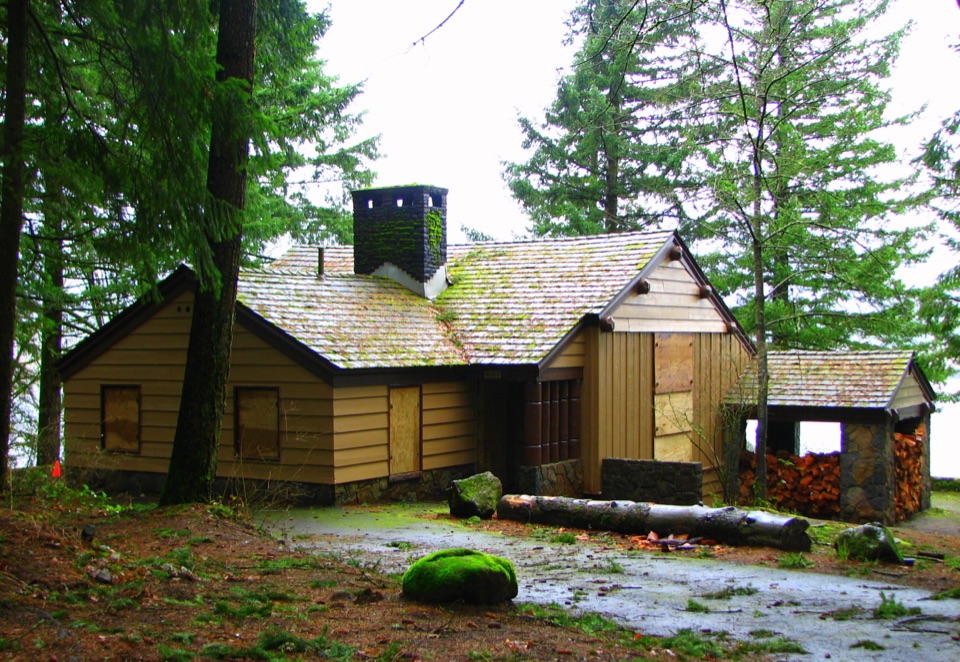 Picnic area · 0.8 mi awayEagle Creek Day Use AreaA historic picnic site where salmon return to the creek each fall.
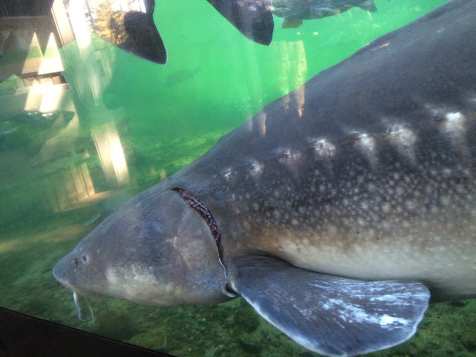 Sight · 1.7 mi awayBonneville Fish HatcherySee Herman through an underwater viewing window.
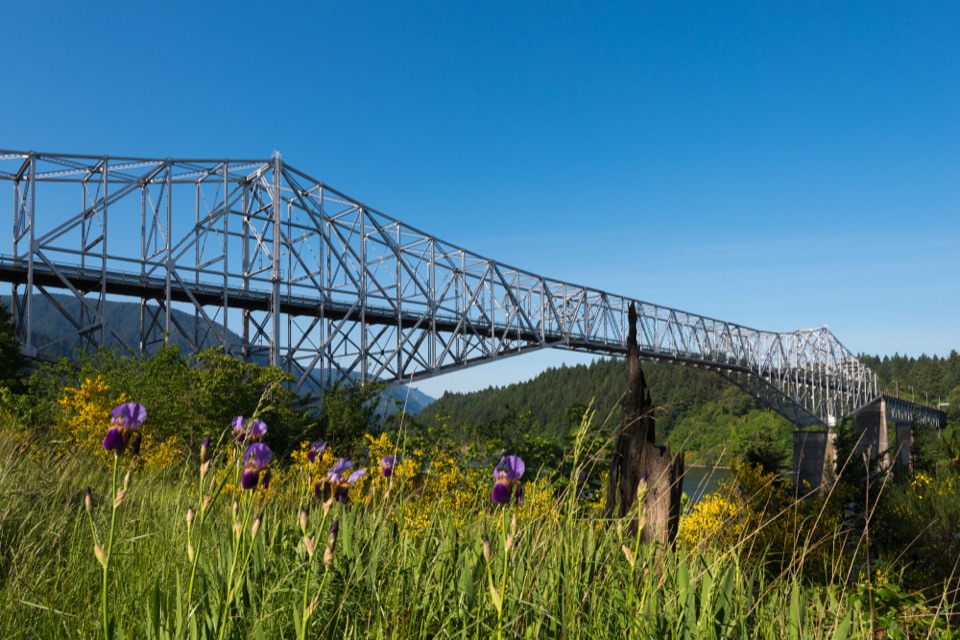 Sight · 1.9 mi awayBridge of the GodsA steel crossing shared by drivers and Pacific Crest Trail hikers.
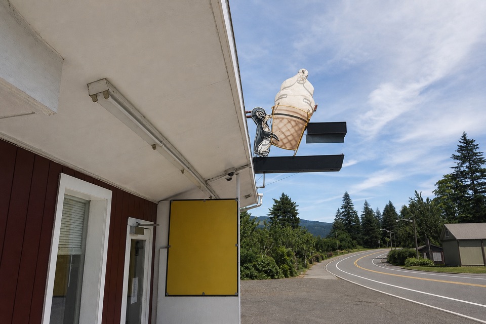 Food · 2.2 mi awayEast Wind Drive-InSave room for the super-tall soft-serve cone.
Parkwolf’s Columbia River Gorge ranking

The audio tour guide for the drive, plus offline maps, trails, and wildlife heatmaps for when the signal drops.




