

All Congaree trails
9 trails
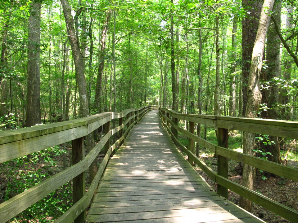 1Boardwalk TrailLevel boardwalk, old-growth trees, and a Weston Lake overlook.
 2Weston Lake TrailA 4.5-mile loop through old growth to Weston Lake.
 3Firefly TrailAn easy woodland walk to Congaree's spring firefly display.
 4Oakridge TrailOld-growth oaks and flooded guts make this a navigation-first hike.
 5Bates Ferry TrailA short, flat walk on a historic road to the Congaree River.
 6Kingsnake TrailA flat, long floodplain walk with sloughs, bridges, and tricky wayfinding.
 7Sims TrailA level old road to a creek bridge and park history.
 8Fork Swamp TrailA short loop to an oxbow and its shaded riverbank.
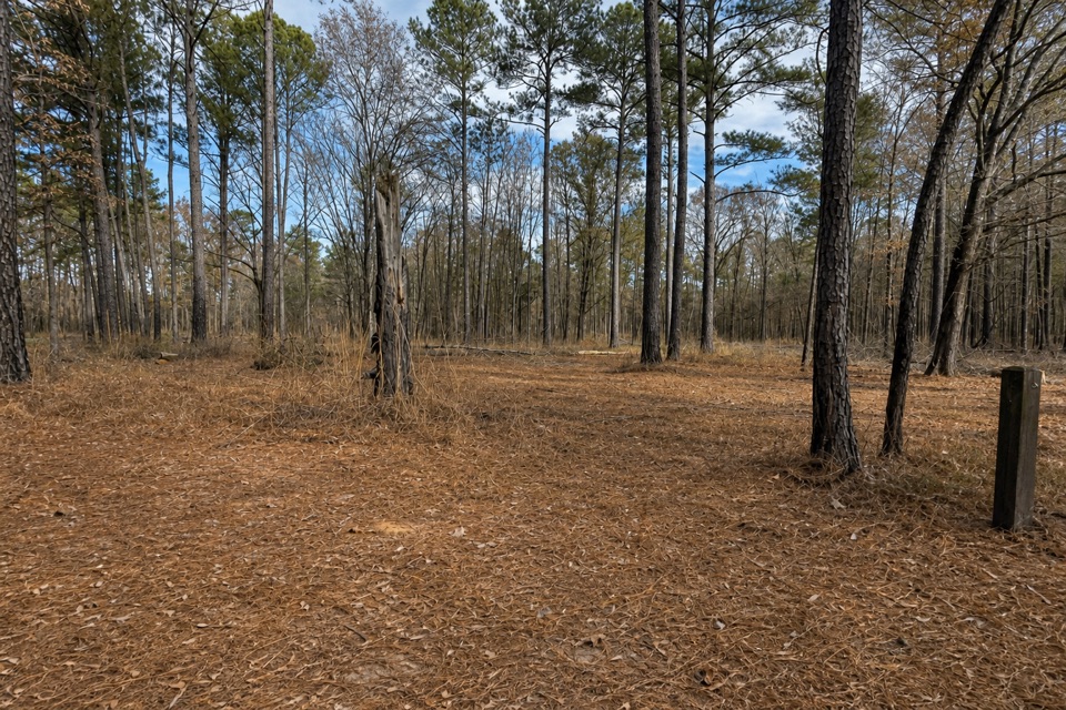 9Longleaf TrailA short forest link from Longleaf Campground to the Boardwalk.
The highest, rockiest slopes around here are a summer buffet for grizzly bears.
Congaree Tour Guide
Congaree, narrated.
Parkwolf is a GPS audio tour guide for Congaree National Park. As you drive, it chimes in with what’s ahead: hidden gems, upcoming stops, history, geology, and wildlife, right through your car’s speakers.
Recorded for this place
Harry Hampton Visitor Center and Boardwalk0:00 / 0:36
“You're approaching the Harry Hampton Visitor Center, where exhibits introduce the forest and the people who lived and worked here. Look for the wooden mosquito meter before heading out.”
Plays as you drive up to Weston Lake Overlook in the Parkwolf Congaree Tour Guide.
More stories near here in the app
- Longleaf and Bluff Campgrounds
- A Plant That Lives in the Air
- South Cedar Creek Canoe Landing
- The Pine That Starts as Grass
- 13 audio storiesacross Congaree’s roads, triggered by GPS as you drive
- Wildlife heatmapsfor Alligator, Wild Boar, Barred Owl, and 13 more
- Works offlinemaps, 9 trails, 14 places, and audio download before you lose signal
- CarPlay readysimple controls built for the drive
“Fantastic app with many points of information… It’s great to just turn on while you’re driving and it gives you an audio tour of the national Park. We love it!!!!”

