Parking
The campground end meets the gravel lot at Longleaf Campground; the other end joins the Boardwalk near the Harry Hampton Visitor Center lot. Arrange a return plan for a one-way walk.
#9 of 9 trails in Congaree
Congaree National Park, SC
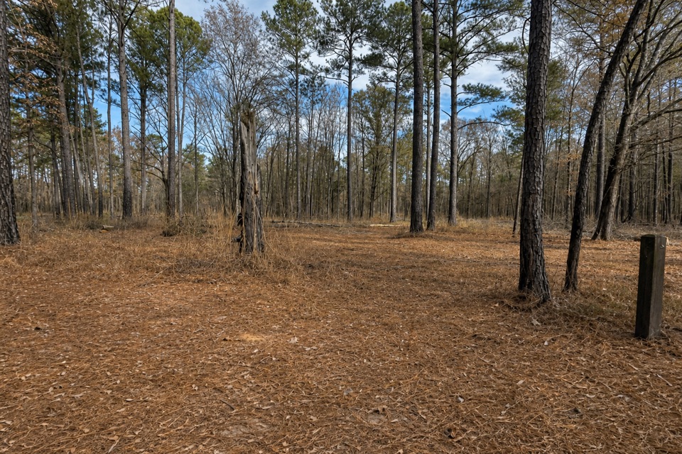
A short forest link from Longleaf Campground to the Boardwalk.
Overview
Map & elevation
Plan your hike

The highest, rockiest slopes around here are a summer buffet for grizzly bears.
Congaree Tour Guide
Parkwolf is a GPS audio tour guide for Congaree National Park. As you drive, it chimes in with what’s ahead: hidden gems, upcoming stops, history, geology, and wildlife, right through your car’s speakers.
Recorded for this trailhead
Longleaf and Bluff Campgrounds“You're nearing Longleaf Campground, the practical tent-camping option if you want a short walk with your gear. Reserve ahead; vehicles stay in the parking lot, and the farthest sites are about a hundred yards away.”
Plays as you drive up to this trailhead in the Parkwolf Congaree Tour Guide.
More stories near here in the app
“Fantastic app with many points of information… It’s great to just turn on while you’re driving and it gives you an audio tour of the national Park. We love it!!!!”


Trail guide
Longleaf Trail #8 is a nearly level forest connector from Longleaf Campground to the Boardwalk junction, about 0.6 mile one way by the mapped route. Continue about 0.1 mile on the Boardwalk to reach the Harry Hampton Visitor Center. If you walk back along the same path, plan on roughly 1.2 miles to the Boardwalk junction. This is a handy link to the visitor-area trails, not much of a stand-alone hike.
There is a real mileage mismatch: the current trail listing says 1.3 miles one way, while the park map, the route geometry and an on-trail walk report support about 0.6 mile to the Boardwalk. We use the mapped corridor here. Check the park's latest map if the exact distance matters.
At the Bluff Trail junction, the directional sign may not mention the Visitor Center; the numbered #8 blazes confirm the Longleaf continuation. Near the Boardwalk end, the trail crosses the park road and reaches a fork: keep right for the Boardwalk and Visitor Center, or left for the picnic area and parking.
The trail stays level through the forest and is rated easy, but exposed roots interrupt the tread. A few narrow stretches brush the surrounding vegetation, so watch your footing and check yourself and your dog for ticks afterward.
The campground end meets Longleaf Campground's gravel parking lot; the other end joins the Boardwalk near the Harry Hampton Visitor Center lot. The campground has two vault toilets but no running water; fountains and a spigot are at the Visitor Center. Pets are allowed on the park's trails on a leash no longer than six feet.
Wildlife
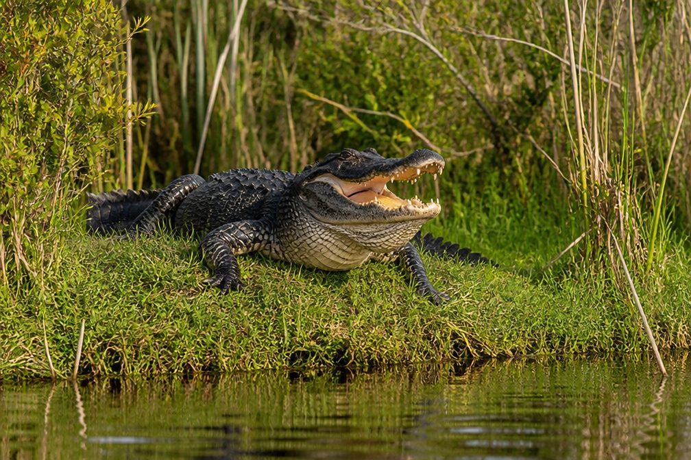 146 sightingsAlligatorMost seen around 6 PMSighting map
 237 sightingsWild BoarMost seen around 6 PMSighting map
 289 sightingsBarred OwlMost seen around 7 PMSighting map
 246 sightingsCottonmouthMost seen around 6 PMSighting map
 12 sightingsWood StorkMost seen around 8 AMSighting map
 61 sightingsGreat Blue HeronMost seen around 7 AMSighting map
Sighting maps show where each species has been reported across Congaree. Wildlife moves, so no sighting is guaranteed.
Keep exploring
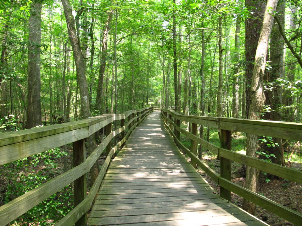 EasyBoardwalk Trail2.6 mi · 1.5 hr · 0.5 mi awayLevel boardwalk, old-growth trees, and a Weston Lake overlook.
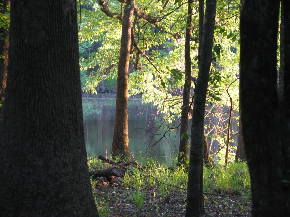 ModerateWeston Lake Trail4.5 mi · 2.5 hr · 0.5 mi awayA 4.5-mile loop through old growth to Weston Lake.
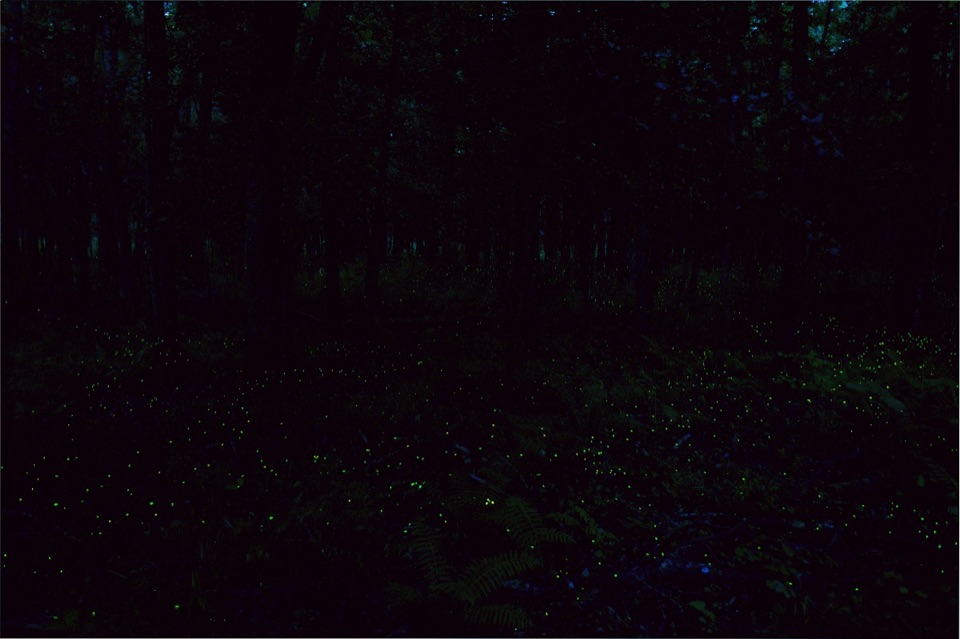 EasyFirefly Trail1.8 mi · 1 hr · 0.5 mi awayAn easy woodland walk to Congaree's spring firefly display.
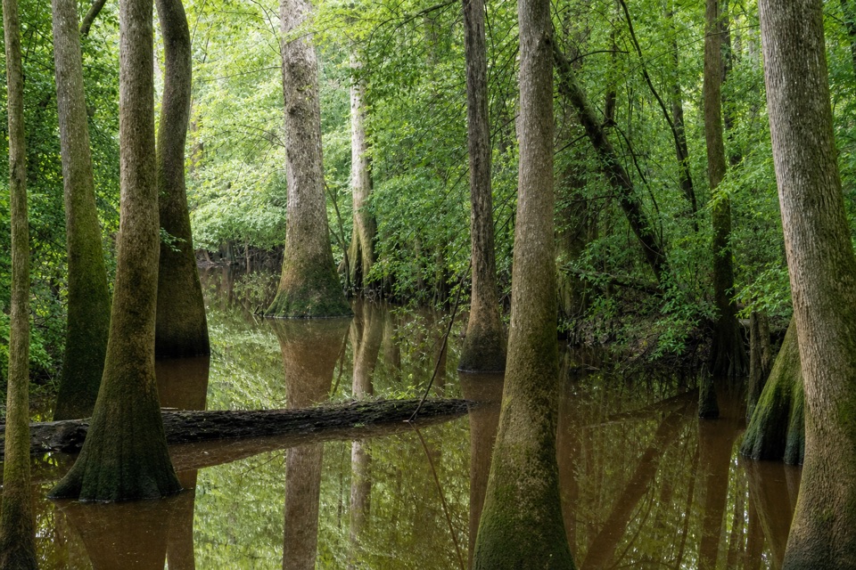 ChallengingOakridge Trail7.1 mi · 4.5 hr · 0.5 mi awayOld-growth oaks and flooded guts make this a navigation-first hike.
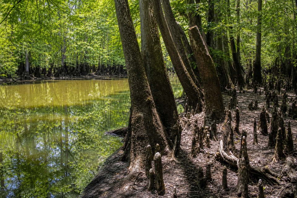 EasySims Trail3.2 mi · 1.5 hr · 0.5 mi awayA level old road to a creek bridge and park history.
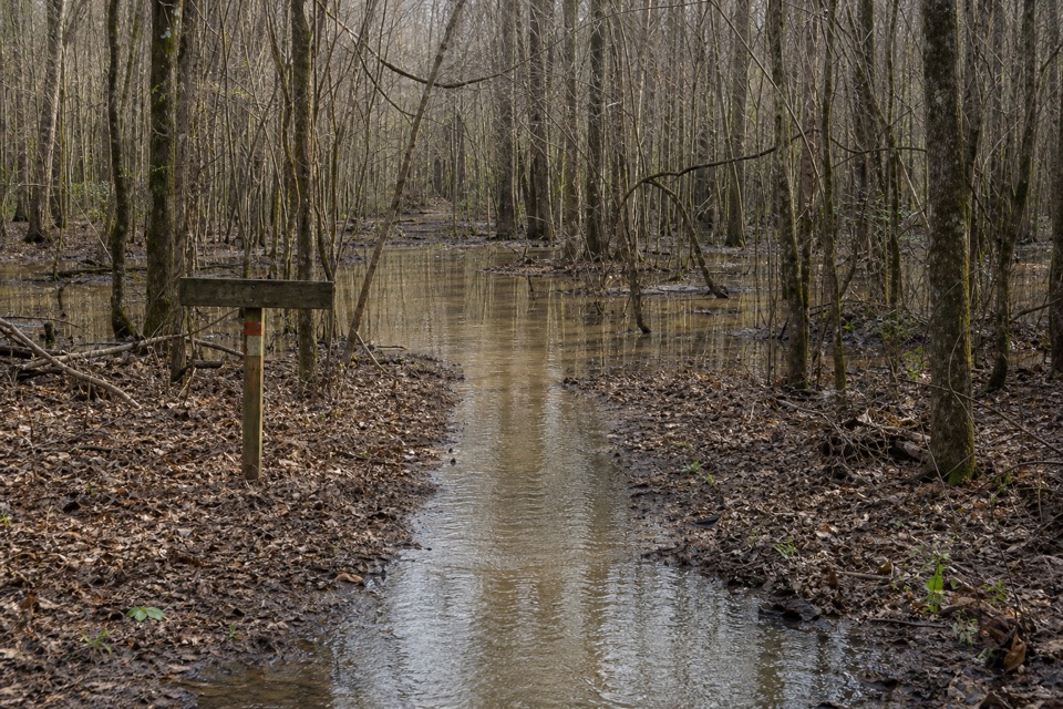 ChallengingKingsnake Trail7.4 mi · 4 hr · 2.6 mi awayA flat, long floodplain walk with sloughs, bridges, and tricky wayfinding.
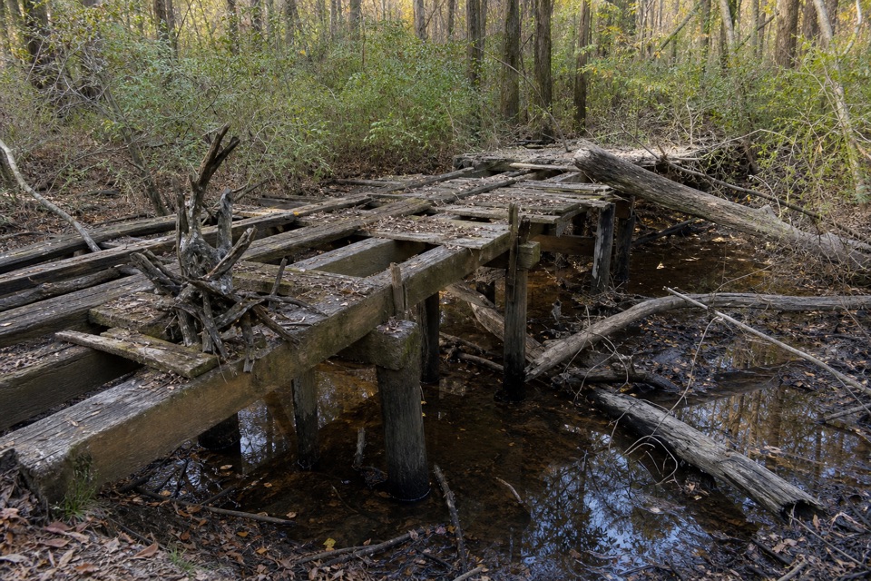 EasyBates Ferry Trail2.2 mi · 1.3 hr · 11.5 mi awayA short, flat walk on a historic road to the Congaree River.
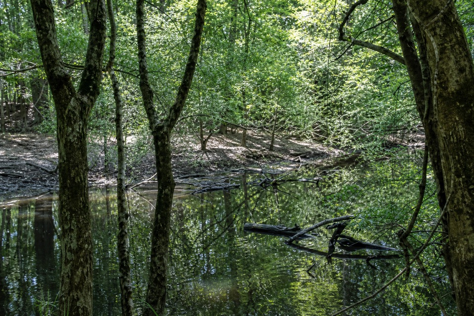 ModerateFork Swamp Trail0.6 mi · 24 min · 11.7 mi awayA short loop to an oxbow and its shaded riverbank.
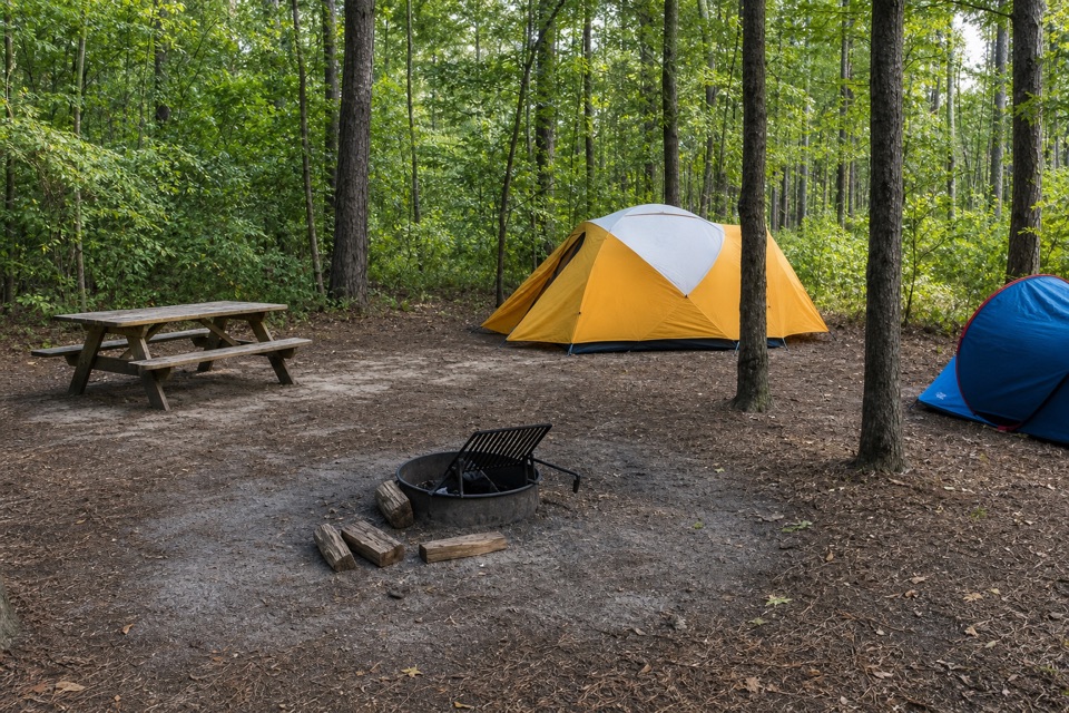 Campground · 0.1 mi awayLongleaf CampgroundWalk-in tent sites put you close to Congaree’s trails.
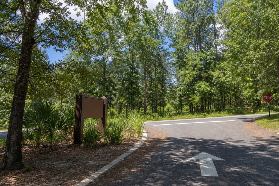 Sight · 0.5 mi awayCongaree National Park SignThe entrance marker comes a mile before the visitor center.
 Visitor center · 0.5 mi awayHarry Hampton Visitor CenterMaps, exhibits, and a film make this a smart first stop.
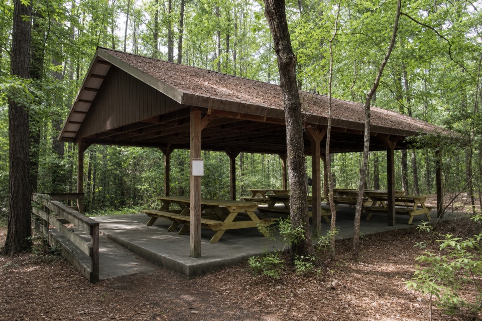 Picnic area · 0.5 mi awayCongaree Picnic ShelterA group picnic pavilion with grills near the Boardwalk Trail.
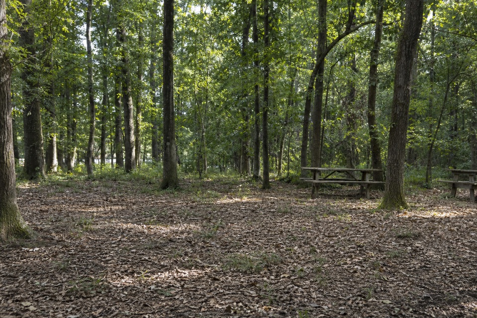 Campground · 0.8 mi awayBluff CampgroundA six-site hike-in camp tucked among Congaree’s upland trees.
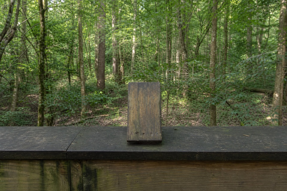 Sight · 0.9 mi awayMoonshine Still (Boardwalk Stop 15)A distant glimpse of an iron still from Prohibition.
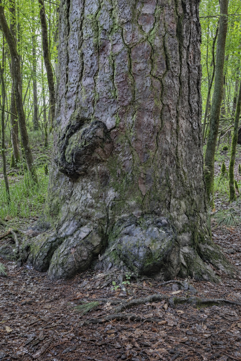 Sight · 1.1 mi awayRichland County PineA former state champion with a 1750s backstory.
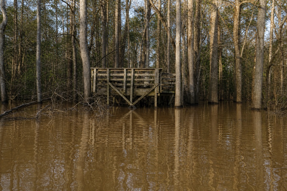 Sight · 1.2 mi awayWeston Lake OverlookLook for turtles beside this 2,000-year-old oxbow lake.
Parkwolf’s Congaree ranking

The audio tour guide for the drive, plus offline maps, trails, and wildlife heatmaps for when the signal drops.