Parking
Park at Harry Hampton Visitor Center, 100 National Park Road. The boardwalk starts just beyond the breezeway.
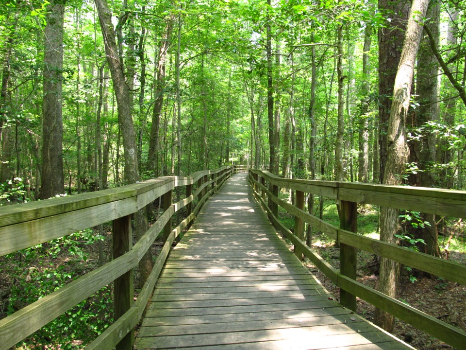
#1 of 9 trails in Congaree
Congaree National Park, SC
Level boardwalk, old-growth trees, and a Weston Lake overlook.
Overview
Map & elevation
Plan your hike

The highest, rockiest slopes around here are a summer buffet for grizzly bears.
Congaree Tour Guide
Parkwolf is a GPS audio tour guide for Congaree National Park. As you drive, it chimes in with what’s ahead: hidden gems, upcoming stops, history, geology, and wildlife, right through your car’s speakers.
Recorded for this trailhead
Harry Hampton Visitor Center and Boardwalk“You're approaching the Harry Hampton Visitor Center, where exhibits introduce the forest and the people who lived and worked here. Look for the wooden mosquito meter before heading out.”
Plays as you drive up to this trailhead in the Parkwolf Congaree Tour Guide.
More stories near here in the app
“Fantastic app with many points of information… It’s great to just turn on while you’re driving and it gives you an audio tour of the national Park. We love it!!!!”


Trail guide
Boardwalk Trail is a 2.6-mile loop from Harry Hampton Visitor Center into Congaree’s old-growth bottomland hardwood forest and back. The mostly level wooden walkway is the easiest way to enter the floodplain without walking through mud, and it is rated easy and accessible to wheelchairs and strollers. Current park information lists 2.6 miles; older guides say 2.4, and the mapped trace is shorter, so treat the total as approximate. Plan on about 1–2 hours if you stop at the numbered markers; a brisk walk can take under an hour. Pick up the self-guided tour brochure in the visitor-center breezeway before starting.
The route begins on a bluff, then an elevated section descends into the forest. Follow the numbered markers around the loop, through the lower boardwalk and past the Weston Lake overlook before returning to the visitor center. Benches give you places to pause, and the smooth boardwalk keeps the footing even. There is plenty to notice if you take your time; the numbered stops turn an easy stroll into a short natural and cultural history tour.
Congaree is a bottomland hardwood forest shaped by periodic flooding. A small change in elevation can mean a different amount of water in the soil and a different set of plants. Bald cypress and tupelo grow in the lowest ground, where cypress knees rise from the floodplain. On higher ground, look for loblolly pine, oak, maple, American holly and beech. Near the start, female hollies can show bright red berries in fall and winter.
The elevated overlook at Weston Lake is the route’s main open view. Turtles, sunfish and gar may be visible in the water, but treat them as a bonus, not a guarantee. The rest of the walk is close forest rather than a string of wide vistas. For a photo that shows the walk as well as the lake, keep part of the boardwalk rail in the foreground.
The markers point out a large beech near the Bluff Trail junction, a lightning-struck tree, dwarf palmetto, an old still site and forest changes linked to storms and controlled burns. Later stops also cover the people who lived and worked in the Lower Richland communities. One honors conservationist Harry Hampton, whose campaign to protect this floodplain helped lead to Congaree Swamp National Monument in 1976.
Start at the Harry Hampton Visitor Center; the boardwalk begins just beyond its breezeway. Pets are allowed on a leash no longer than six feet. The low sections can flood and become inaccessible, even when elevated stretches remain above the water. Check current park alerts before you go. Visitors also often mention mosquitoes, flies and spider webs, so applying insect repellent before you leave the lot can make the walk more comfortable.
Wildlife
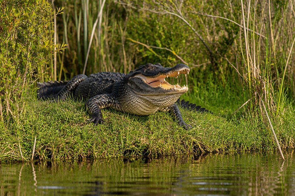 146 sightingsAlligatorMost seen around 6 PMSighting map
 237 sightingsWild BoarMost seen around 6 PMSighting map
 289 sightingsBarred OwlMost seen around 7 PMSighting map
 246 sightingsCottonmouthMost seen around 6 PMSighting map
 12 sightingsWood StorkMost seen around 8 AMSighting map
 61 sightingsGreat Blue HeronMost seen around 7 AMSighting map
Sighting maps show where each species has been reported across Congaree. Wildlife moves, so no sighting is guaranteed.
Keep exploring
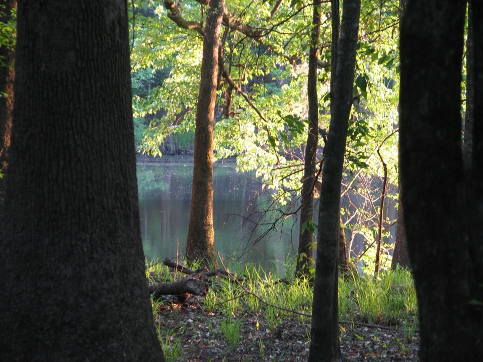 ModerateWeston Lake Trail4.5 mi · 2.5 hr · At the trailheadA 4.5-mile loop through old growth to Weston Lake.
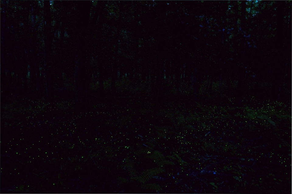 EasyFirefly Trail1.8 mi · 1 hr · At the trailheadAn easy woodland walk to Congaree's spring firefly display.
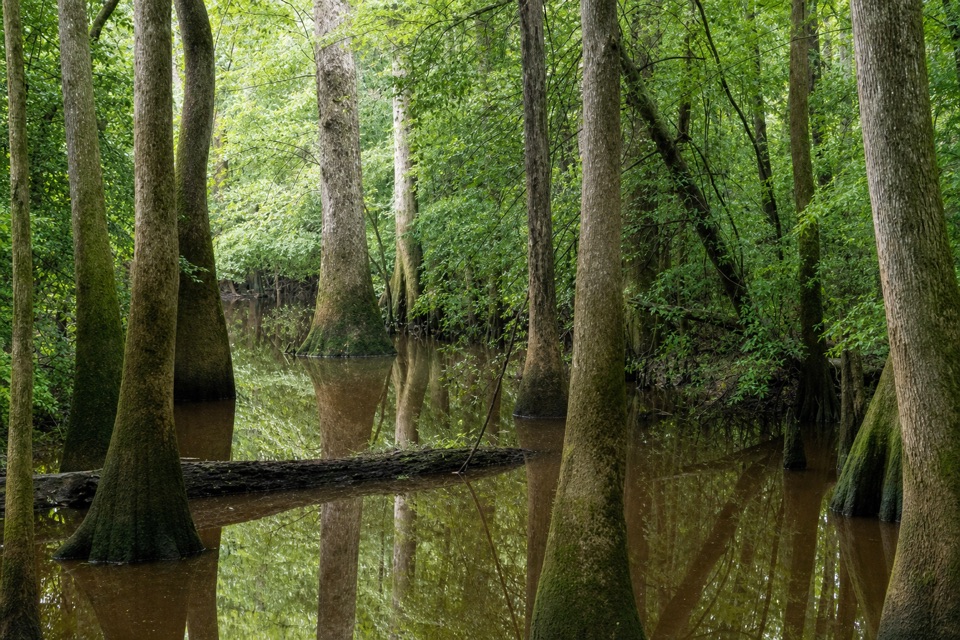 ChallengingOakridge Trail7.1 mi · 4.5 hr · At the trailheadOld-growth oaks and flooded guts make this a navigation-first hike.
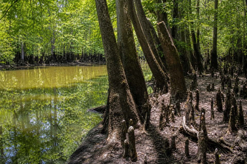 EasySims Trail3.2 mi · 1.5 hr · At the trailheadA level old road to a creek bridge and park history.
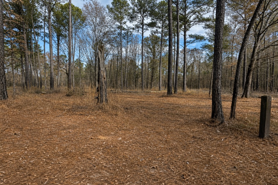 EasyLongleaf Trail0.6 mi · 20 min · 0.5 mi awayA short forest link from Longleaf Campground to the Boardwalk.
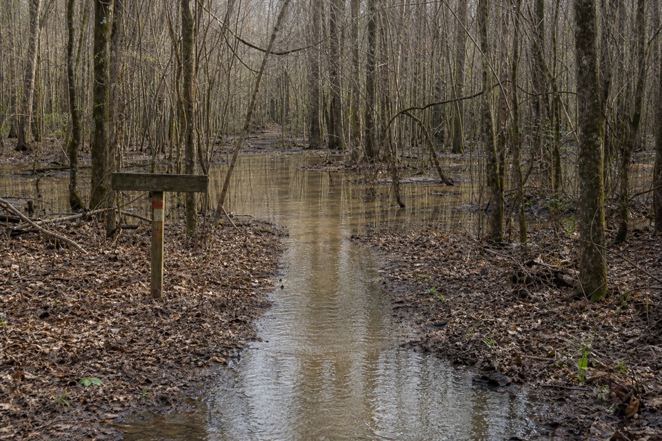 ChallengingKingsnake Trail7.4 mi · 4 hr · 2.2 mi awayA flat, long floodplain walk with sloughs, bridges, and tricky wayfinding.
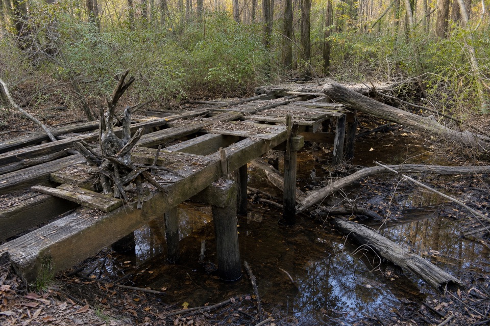 EasyBates Ferry Trail2.2 mi · 1.3 hr · 11.2 mi awayA short, flat walk on a historic road to the Congaree River.
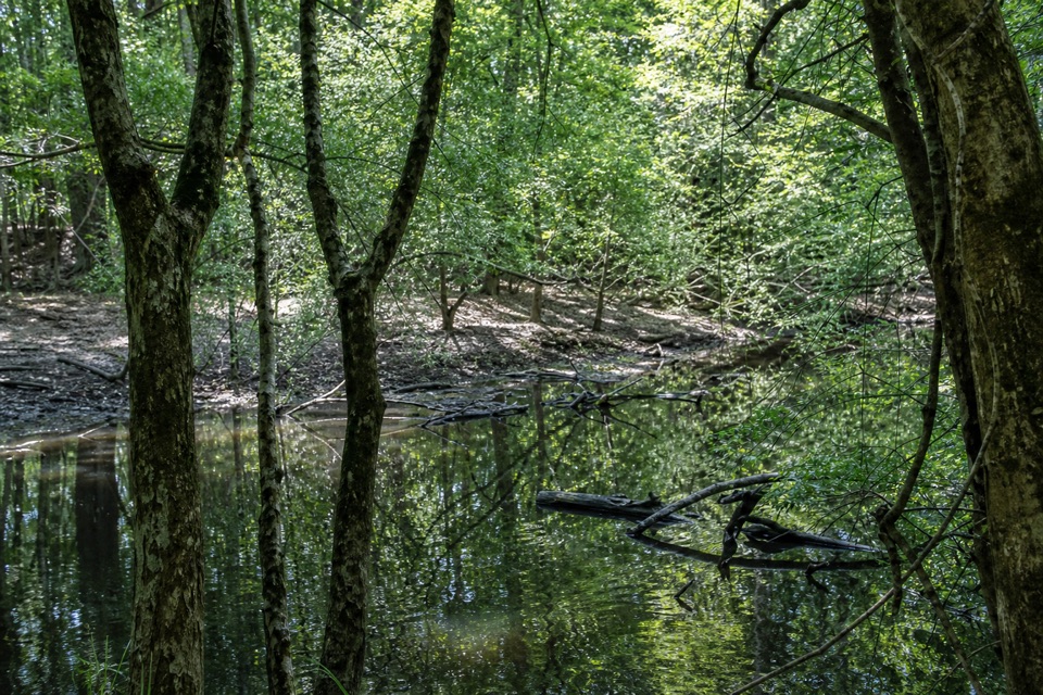 ModerateFork Swamp Trail0.6 mi · 24 min · 11.3 mi awayA short loop to an oxbow and its shaded riverbank.
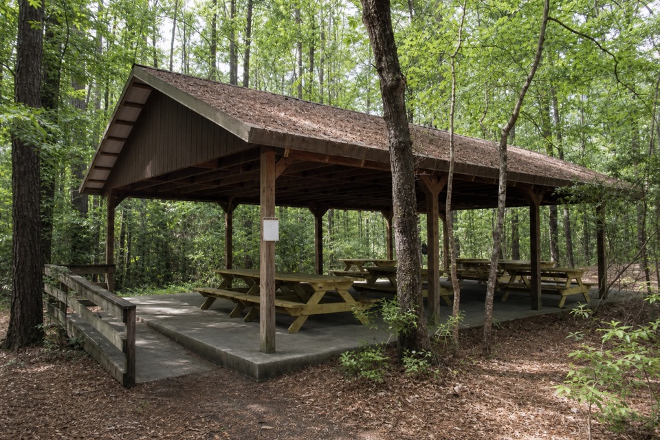 Picnic area · At the trailheadCongaree Picnic ShelterA group picnic pavilion with grills near the Boardwalk Trail.
 Visitor center · At the trailheadHarry Hampton Visitor CenterMaps, exhibits, and a film make this a smart first stop.
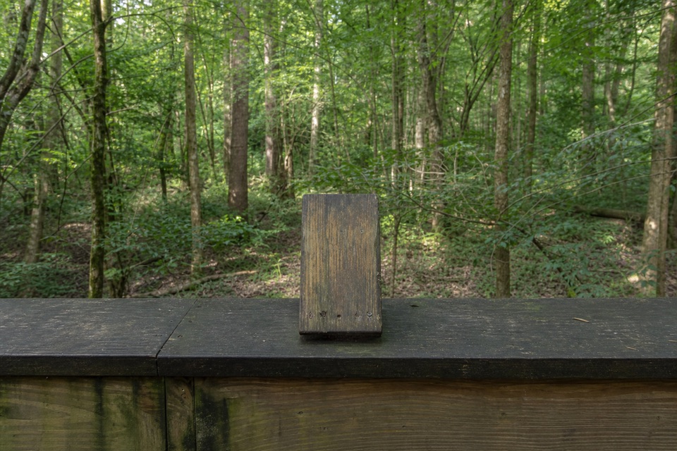 Sight · 0.4 mi awayMoonshine Still (Boardwalk Stop 15)A distant glimpse of an iron still from Prohibition.
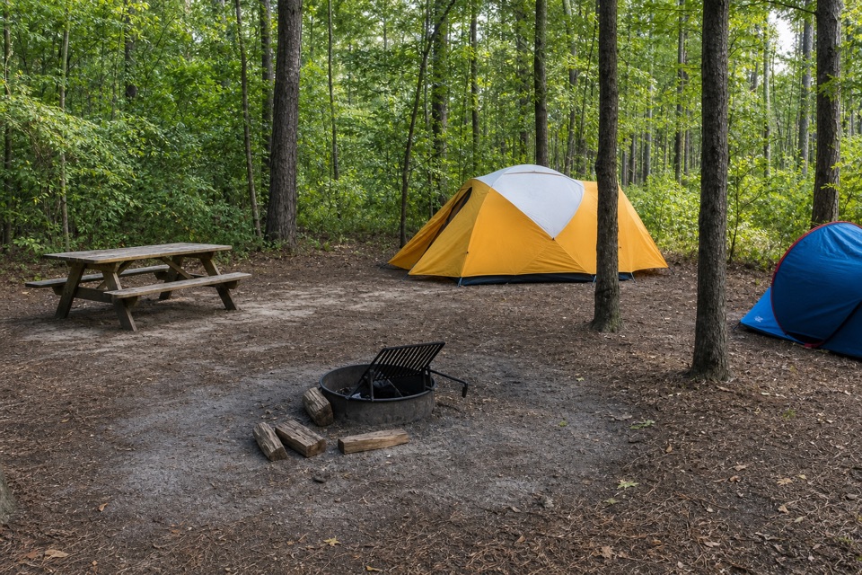 Campground · 0.5 mi awayLongleaf CampgroundWalk-in tent sites put you close to Congaree’s trails.
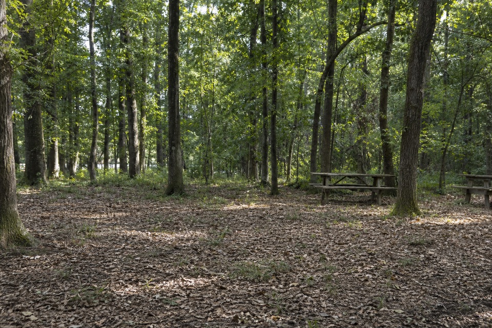 Campground · 0.5 mi awayBluff CampgroundA six-site hike-in camp tucked among Congaree’s upland trees.
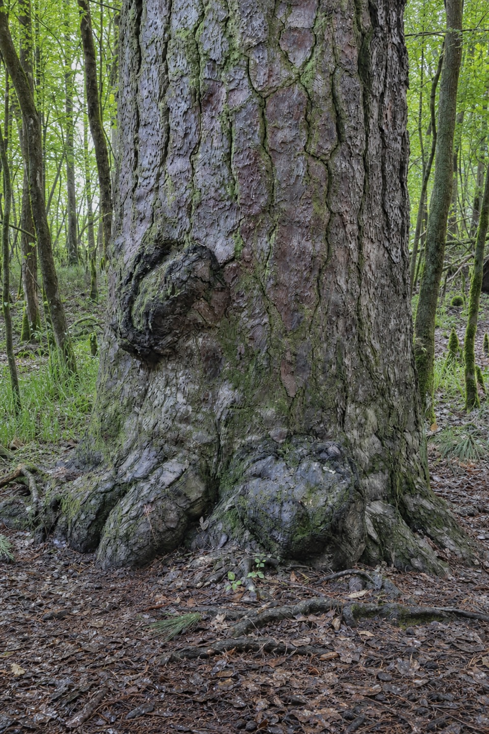 Sight · 0.6 mi awayRichland County PineA former state champion with a 1750s backstory.
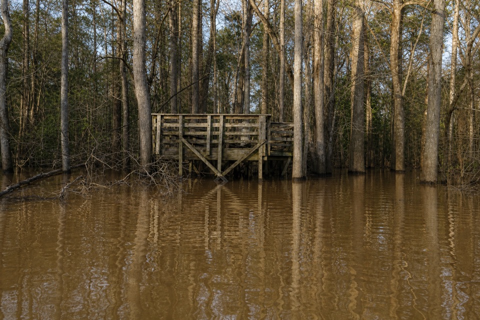 Sight · 0.6 mi awayWeston Lake OverlookLook for turtles beside this 2,000-year-old oxbow lake.
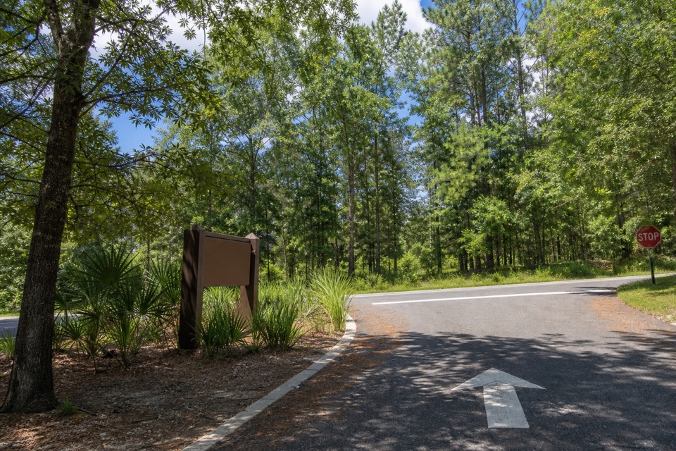 Sight · 1 mi awayCongaree National Park SignThe entrance marker comes a mile before the visitor center.
Parkwolf’s Congaree ranking

The audio tour guide for the drive, plus offline maps, trails, and wildlife heatmaps for when the signal drops.