Parking
Use the Harry Hampton Visitor Center lot. Start at the breezeway and follow the marked Boardwalk connection to Sims Trail; park entry is free.
#2 of 9 trails in Congaree
Congaree National Park, SC
A 4.5-mile loop through old growth to Weston Lake.
Overview
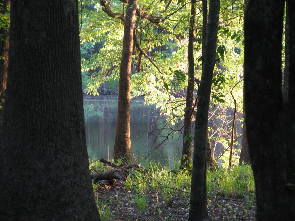
On the eastern stretch, the path enters old-growth cypress-tupelo swamp. Cypress knees rise from the wet ground, and raised boardwalk sections carry the route over wetter patches. A short boardwalk spur reaches the Weston Lake overlook; this is the clearest lake view, since leaves can screen the water along the rest of the trail.
 Parkwolf’s verdictThe slough is the payoff
Map & elevation
Plan your hike

The highest, rockiest slopes around here are a summer buffet for grizzly bears.
Congaree Tour Guide
Parkwolf is a GPS audio tour guide for Congaree National Park. As you drive, it chimes in with what’s ahead: hidden gems, upcoming stops, history, geology, and wildlife, right through your car’s speakers.
Recorded for this trailhead
Harry Hampton Visitor Center and Boardwalk“You're approaching the Harry Hampton Visitor Center, where exhibits introduce the forest and the people who lived and worked here. Look for the wooden mosquito meter before heading out.”
Plays as you drive up to this trailhead in the Parkwolf Congaree Tour Guide.
More stories near here in the app
“Fantastic app with many points of information… It’s great to just turn on while you’re driving and it gives you an audio tour of the national Park. We love it!!!!”


Trail guide
Weston Lake Trail #3 is a 4.5-mile loop from the Harry Hampton Visitor Center. That total includes the Boardwalk and Sims Trail approaches, the Weston Lake section, and the boardwalk return. Allow about 2 to 3 hours. It’s a longer walk through flat, flood-prone forest, not a short stroll around a lake.
From the visitor-center breezeway, follow the marked Boardwalk connection to Sims Trail (#2), then continue about 1.1 miles to the Weston Lake junction by Cedar Creek. Follow the numbered #3 route along the creek and through the slough; it returns toward the visitor center by the Elevated Boardwalk system. The named Weston Lake section is about 2 miles one way between the Sims approach and the boardwalk, so the connectors account for much of the full outing.
Cedar Creek appears through breaks in the trees rather than beside the trail the whole way. The open clearing at the creek junction is the former Cedar Creek Hunt Club site; sweetgum, loblolly pine, blackberry and grapevine are gradually filling it back in. It’s a useful place to pause and look for birds over the opening.
There’s little climbing, but NPS rates the trail moderate because low ground can be muddy or under standing water and the route can be hard to follow. Floods periodically close backcountry trails and parts of the boardwalk, and storms can leave trees across the path. Watch for the numbered blazes; some include GPS coordinates used for rescue calls.
Otters and wading birds are often seen along Cedar Creek, though sightings are never guaranteed. Dogs are allowed on a leash no longer than six feet; bicycles and other mechanical devices aren’t allowed on park trails. If 4.5 miles feels like too much, the 2.6-mile Boardwalk Trail is an easier way to spend time in the old-growth forest.
At the Weston Lake platform, frame the water through the cypress and tupelo trunks for a sense of the slough’s depth. Cedar Creek offers a second worthwhile water view from its bridge; the creek winding through the floodplain is the better choice when the lake is hidden by summer foliage.
Wildlife
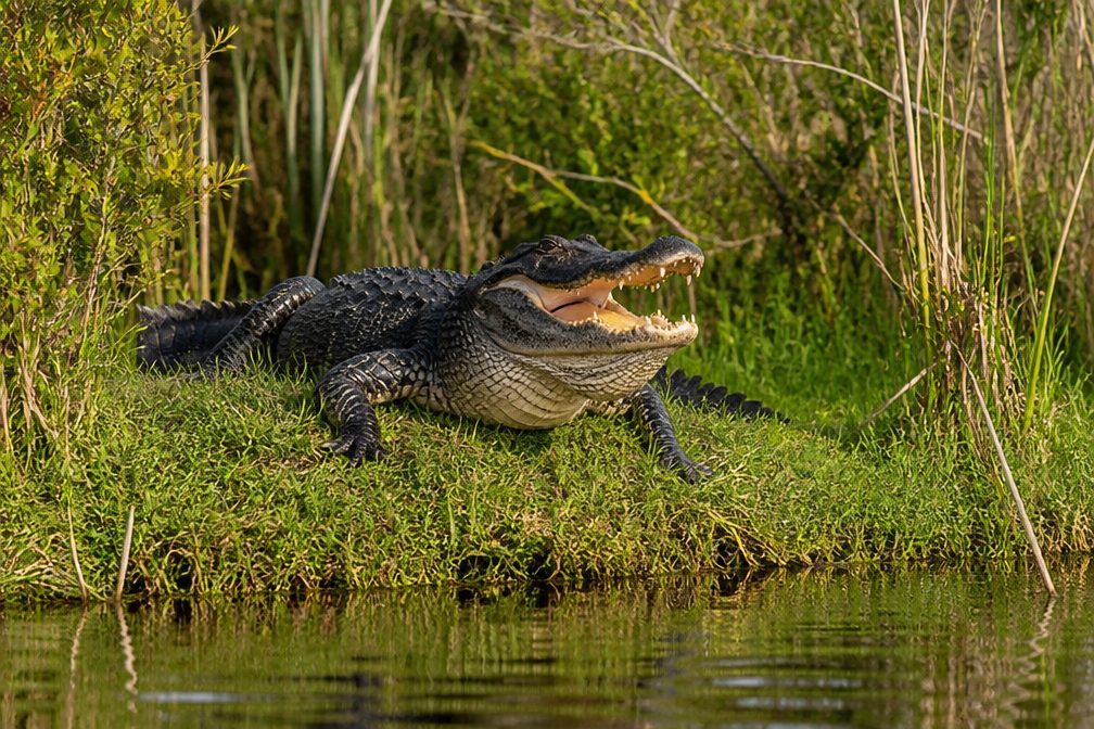 146 sightingsAlligatorMost seen around 6 PMSighting map
 237 sightingsWild BoarMost seen around 6 PMSighting map
 289 sightingsBarred OwlMost seen around 7 PMSighting map
 246 sightingsCottonmouthMost seen around 6 PMSighting map
 12 sightingsWood StorkMost seen around 8 AMSighting map
 61 sightingsGreat Blue HeronMost seen around 7 AMSighting map
Sighting maps show where each species has been reported across Congaree. Wildlife moves, so no sighting is guaranteed.
Keep exploring
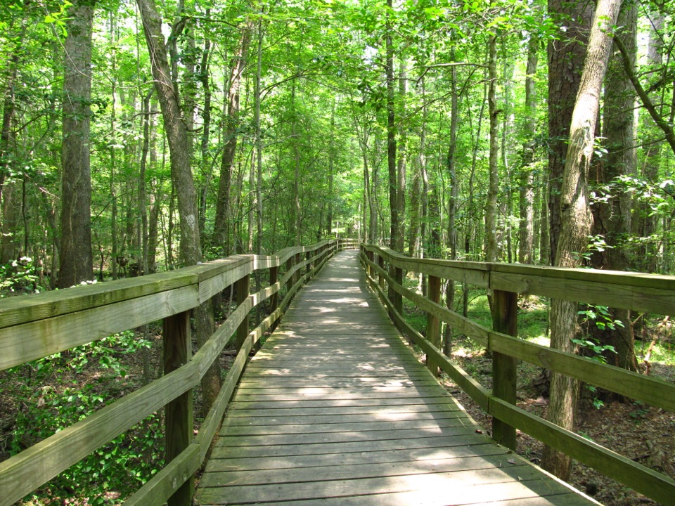 EasyBoardwalk Trail2.6 mi · 1.5 hr · At the trailheadLevel boardwalk, old-growth trees, and a Weston Lake overlook.
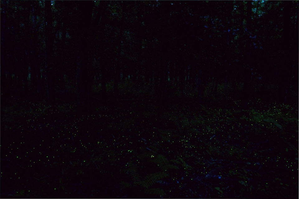 EasyFirefly Trail1.8 mi · 1 hr · At the trailheadAn easy woodland walk to Congaree's spring firefly display.
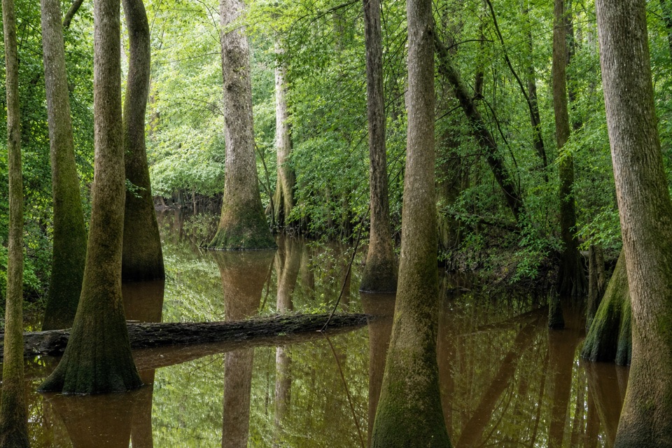 ChallengingOakridge Trail7.1 mi · 4.5 hr · At the trailheadOld-growth oaks and flooded guts make this a navigation-first hike.
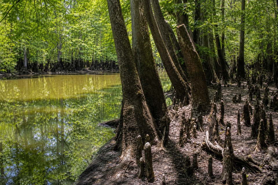 EasySims Trail3.2 mi · 1.5 hr · At the trailheadA level old road to a creek bridge and park history.
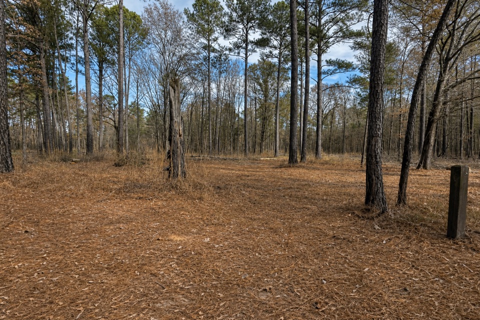 EasyLongleaf Trail0.6 mi · 20 min · 0.5 mi awayA short forest link from Longleaf Campground to the Boardwalk.
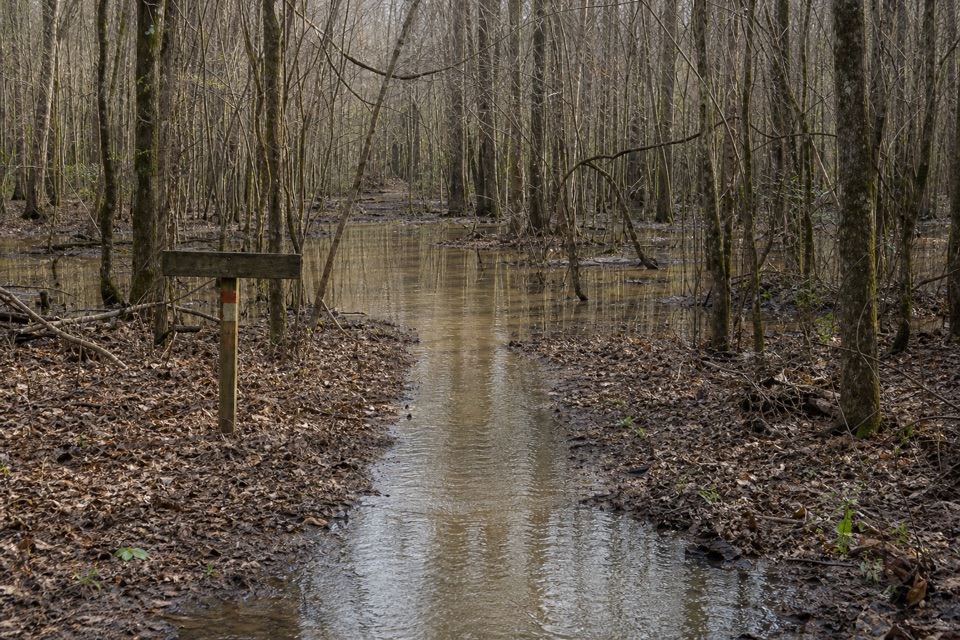 ChallengingKingsnake Trail7.4 mi · 4 hr · 2.2 mi awayA flat, long floodplain walk with sloughs, bridges, and tricky wayfinding.
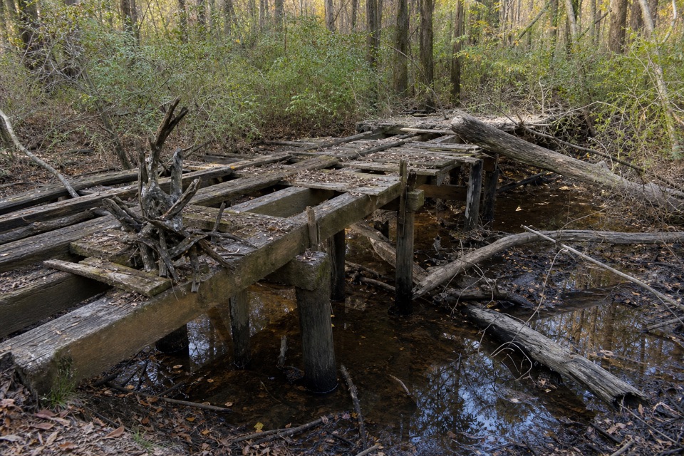 EasyBates Ferry Trail2.2 mi · 1.3 hr · 11.2 mi awayA short, flat walk on a historic road to the Congaree River.
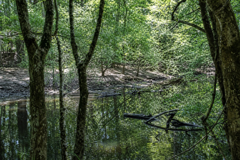 ModerateFork Swamp Trail0.6 mi · 24 min · 11.3 mi awayA short loop to an oxbow and its shaded riverbank.
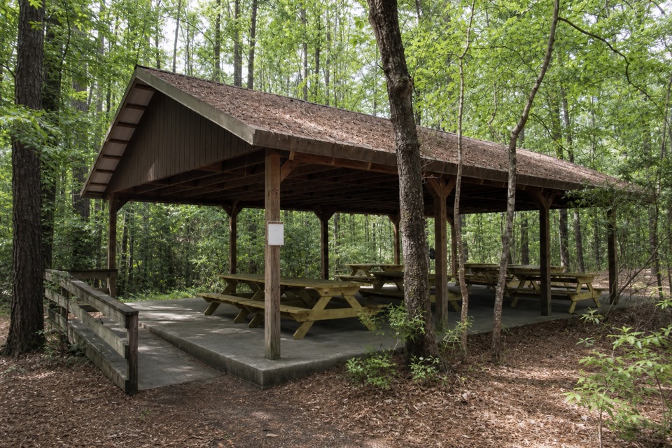 Picnic area · At the trailheadCongaree Picnic ShelterA group picnic pavilion with grills near the Boardwalk Trail.
 Visitor center · At the trailheadHarry Hampton Visitor CenterMaps, exhibits, and a film make this a smart first stop.
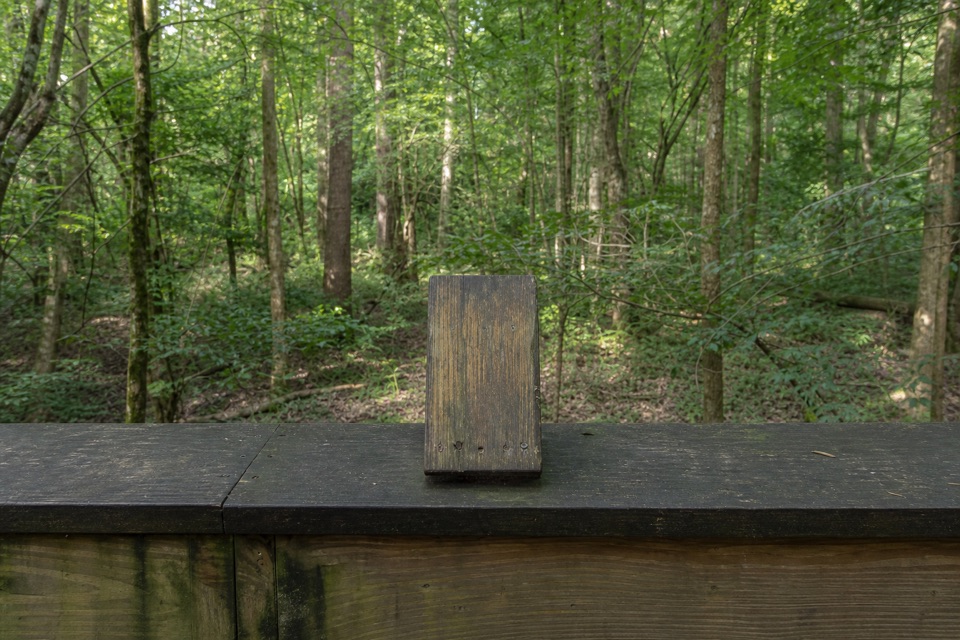 Sight · 0.4 mi awayMoonshine Still (Boardwalk Stop 15)A distant glimpse of an iron still from Prohibition.
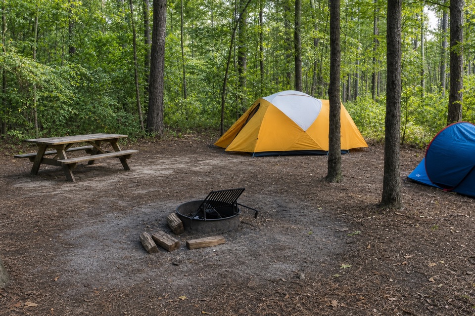 Campground · 0.5 mi awayLongleaf CampgroundWalk-in tent sites put you close to Congaree’s trails.
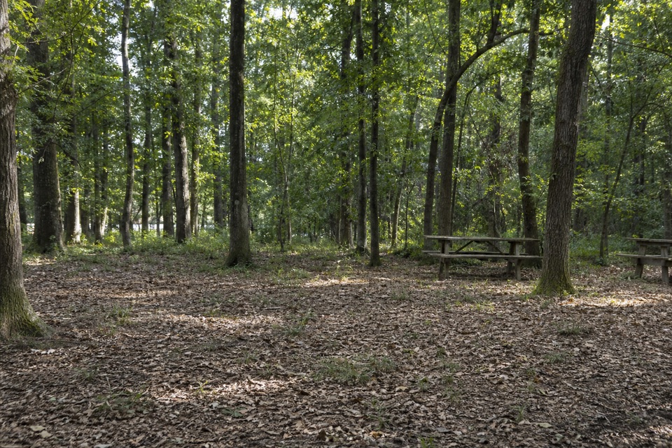 Campground · 0.5 mi awayBluff CampgroundA six-site hike-in camp tucked among Congaree’s upland trees.
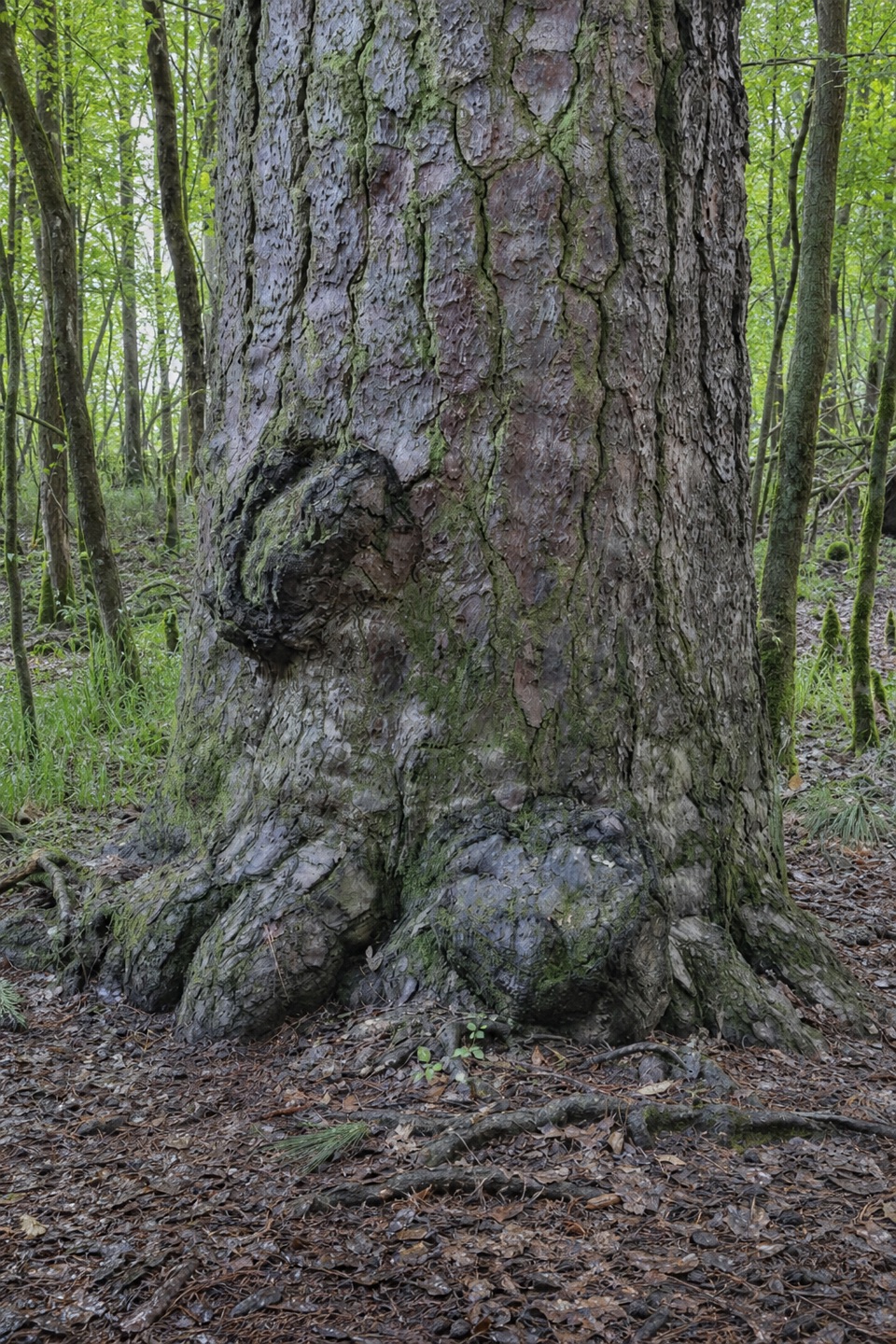 Sight · 0.6 mi awayRichland County PineA former state champion with a 1750s backstory.
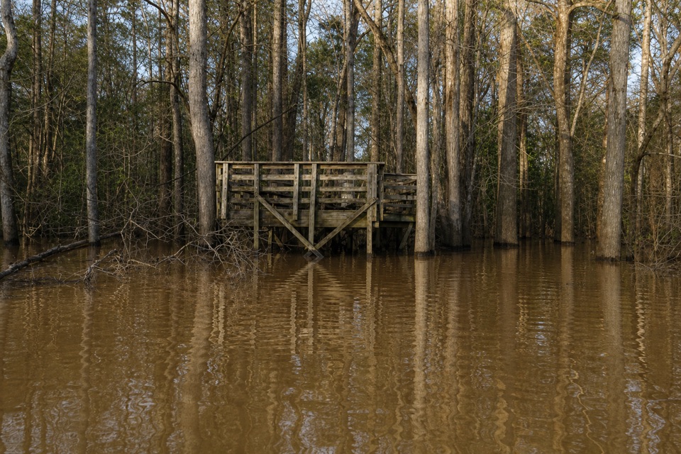 Sight · 0.6 mi awayWeston Lake OverlookLook for turtles beside this 2,000-year-old oxbow lake.
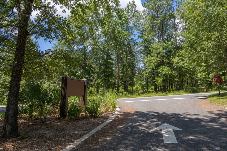 Sight · 1 mi awayCongaree National Park SignThe entrance marker comes a mile before the visitor center.
Parkwolf’s Congaree ranking
The audio tour guide for the drive, plus offline maps, trails, and wildlife heatmaps for when the signal drops.