Parking
Use the Harry Hampton Visitor Center parking lots; the trail is accessed behind the visitor center. The third lot is for oversized vehicles. The visitor center has accessible restrooms and an outdoor water fountain.
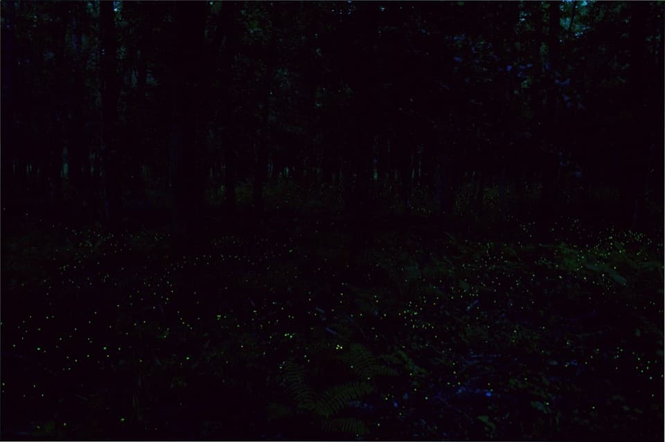
#3 of 9 trails in Congaree
Congaree National Park, SC
An easy woodland walk to Congaree's spring firefly display.
Overview
Map & elevation
Plan your hike

The highest, rockiest slopes around here are a summer buffet for grizzly bears.
Congaree Tour Guide
Parkwolf is a GPS audio tour guide for Congaree National Park. As you drive, it chimes in with what’s ahead: hidden gems, upcoming stops, history, geology, and wildlife, right through your car’s speakers.
Recorded for this trailhead
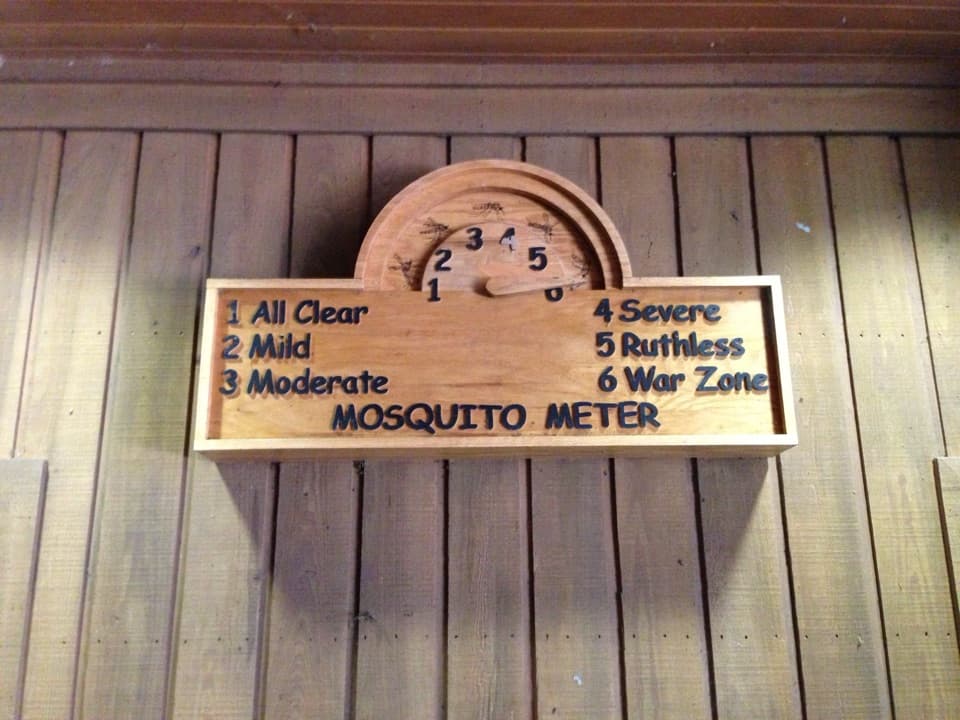
Harry Hampton Visitor Center and Boardwalk“You're approaching the Harry Hampton Visitor Center, where exhibits introduce the forest and the people who lived and worked here. Look for the wooden mosquito meter before heading out.”
Plays as you drive up to this trailhead in the Parkwolf Congaree Tour Guide.
More stories near here in the app
“Fantastic app with many points of information… It’s great to just turn on while you’re driving and it gives you an audio tour of the national Park. We love it!!!!”


Trail guide
The park's synchronous fireflies usually appear for about two weeks between mid-May and mid-June. Their bright flashes are part of a mating signal: male fireflies flash above the ground, and females answer from below. The timing and degree of synchrony vary with natural conditions, so a perfectly coordinated display is never guaranteed.
Viewing is run as a separate evening event with controlled entry and an annual pass lottery. The event can also change when day visitors must leave the frontcountry trails. Under the current published rules, phones cannot be used for light or photos in the viewing area, and pets are not permitted during the event. Check the park's current event instructions before planning an evening visit; an ordinary daytime hike follows the park's usual trail rules.
This is an upland route, not a long wander through the flooded bottomland. The linked paths move between the higher bluff forest and the lowland edge, with a short boardwalk section giving a look into the wetter woods. Near the bluff, the change between muck-swamp forest and upland forest creates a rich transition zone. Eastern box turtles may travel between the two, and spring understory plants include jack-in-the-pulpit and cinnamon fern.
Longleaf pines are part of the story here. Prescribed burns help keep faster-growing sweetgum from filling in the open savanna where longleaf belongs. Young longleaf can sit in a low, grass-like stage for years; once it grows past that stage, it shoots upward into a bottlebrush shape. Look for the open spaces and small trees rather than expecting an old-growth canopy along this section.
The bluff around the visitor-area trails was mostly plowed farmland in 1938, and old drainage ditches still mark parts of that landscape. Archival research identifies Rev. Daniel and Amanda Boyd, both formerly enslaved on Robert Adams Sr.'s Bluff property, as later landowners. Adams sold Rev. Boyd an 87-acre tract in 1873; Amanda continued living there after her husband's death. The shallow ditches and the young forest around them make that history easier to picture on the ground.
Park at the Harry Hampton Visitor Center and start from the access behind the building. There are three visitor-center lots, including a separate lot for oversized vehicles; restrooms and an outdoor water fountain are available before you set out. Expect a few stairs at the access and exposed roots on the dirt section. The regular route allows pets on a leash no longer than six feet. Firefly event nights have different access and pet rules, and the special event's dates and pass details change each year.
Wildlife
 146 sightingsAlligatorMost seen around 6 PMSighting map
 242 sightingsWild BoarMost seen around 6 PMSighting map
 291 sightingsBarred OwlMost seen around 7 PMSighting map
 248 sightingsCottonmouthMost seen around 6 PMSighting map
 13 sightingsWood StorkMost seen around 8 AMSighting map
 61 sightingsGreat Blue HeronMost seen around 7 AMSighting map
Sighting maps show where each species has been reported across Congaree. Wildlife moves, so no sighting is guaranteed.
Keep exploring
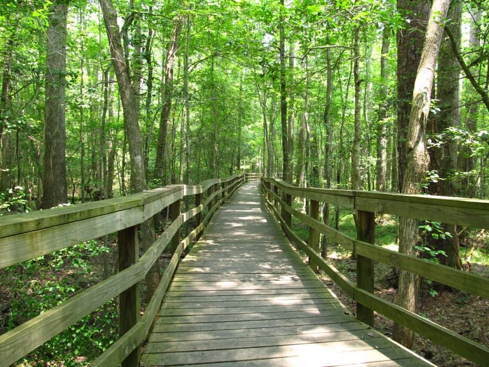 EasyBoardwalk Trail2.6 mi · 1.5 hr · At the trailheadLevel boardwalk, old-growth trees, and a Weston Lake overlook.
 ModerateWeston Lake Trail4.5 mi · 2.5 hr · At the trailheadA 4.5-mile loop through old growth to Weston Lake.
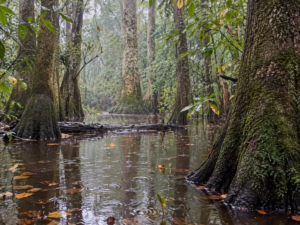 ChallengingOakridge Trail7.1 mi · 4.5 hr · At the trailheadOld-growth oaks and flooded guts make this a navigation-first hike.
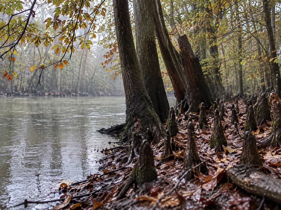 EasySims Trail3.2 mi · 1.5 hr · At the trailheadA level old road to a creek bridge and park history.
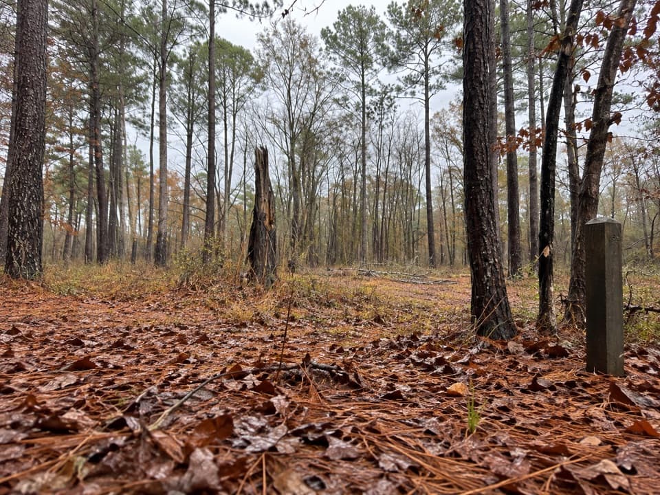 EasyLongleaf Trail0.6 mi · 20 min · 0.5 mi awayA short forest link from Longleaf Campground to the Boardwalk.
 ChallengingKingsnake Trail7.4 mi · 4 hr · 2.2 mi awayA flat, long floodplain walk with sloughs, bridges, and tricky wayfinding.
 EasyBates Ferry Trail2.2 mi · 1.3 hr · 11.2 mi awayA short, flat walk on a historic road to the Congaree River.
 ModerateFork Swamp Trail0.6 mi · 24 min · 11.3 mi awayA short loop to an oxbow and its shaded riverbank.
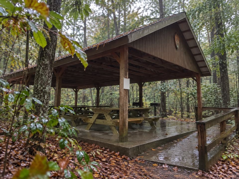 Picnic area · At the trailheadCongaree Picnic ShelterA group picnic pavilion with grills near the Boardwalk Trail.
 Visitor center · At the trailheadHarry Hampton Visitor CenterMaps, exhibits, and a film make this a smart first stop.
 Sight · 0.4 mi awayMoonshine Still (Boardwalk Stop 15)A distant glimpse of an iron still from Prohibition.
 Campground · 0.5 mi awayLongleaf CampgroundWalk-in tent sites put you close to Congaree’s trails.
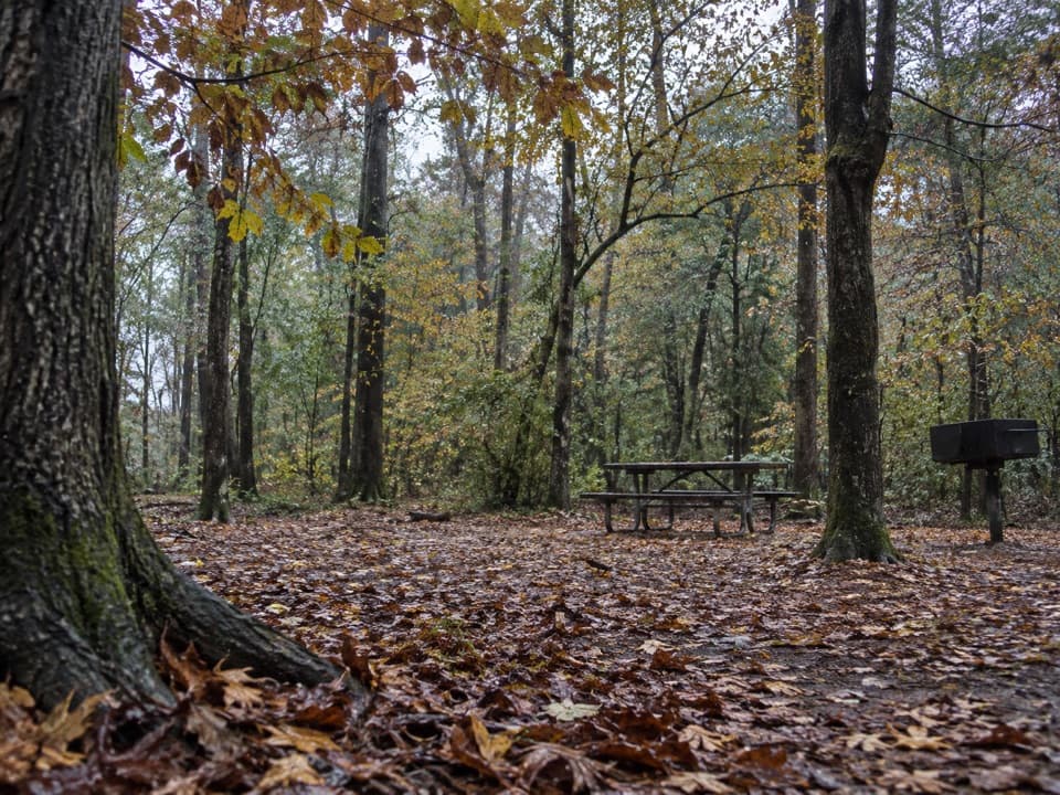 Campground · 0.5 mi awayBluff CampgroundA six-site hike-in camp tucked among Congaree’s upland trees.
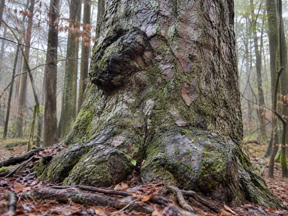 Sight · 0.6 mi awayRichland County PineA former state champion with a 1750s backstory.
 Sight · 0.6 mi awayWeston Lake OverlookLook for turtles beside this 2,000-year-old oxbow lake.
 Sight · 1 mi awayCongaree National Park SignThe entrance marker comes a mile before the visitor center.
Parkwolf’s Congaree ranking

The audio tour guide for the drive, plus offline maps, trails, and wildlife heatmaps for when the signal drops.