Overview
About Black Elk Peak
Why stop
- Historic stone lookout and a four-state summit panorama
Heads up
- The shortest Sylvan Lake approach is still 6.6 miles round trip
Map
Where it is

The highest, rockiest slopes around here are a summer buffet for grizzly bears.
Custer Tour Guide
Your drive to Black Elk Peak, narrated.
Parkwolf is a GPS audio tour guide for Custer State Park. As you drive, it chimes in with what’s ahead: hidden gems, upcoming stops, history, geology, and wildlife, right through your car’s speakers.
Recorded for this place
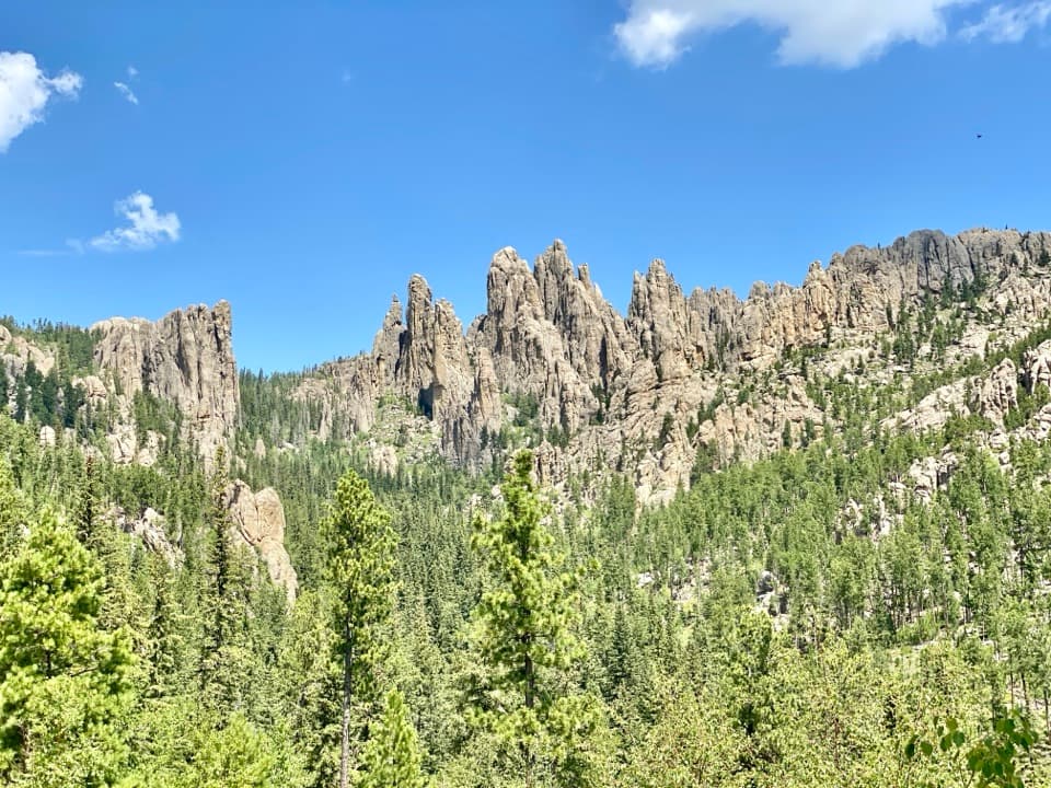
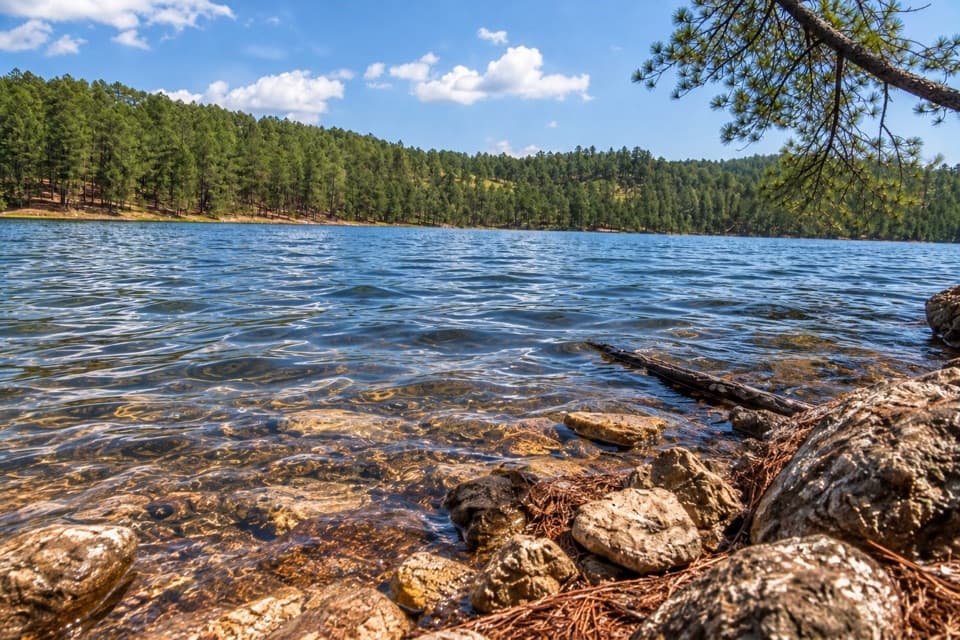
Sylvan Lake: Rocks and Water“You're coming up on Sylvan Lake, where tall granite outcrops rise straight beside the water. I'd stop here for the one-mile shore loop; allow about an hour to see the rocks and little coves up close.”
Plays as you drive up to Black Elk Peak in the Parkwolf Custer Tour Guide.
More stories near here in the app
- Cathedral Spires: Roadside or on Foot
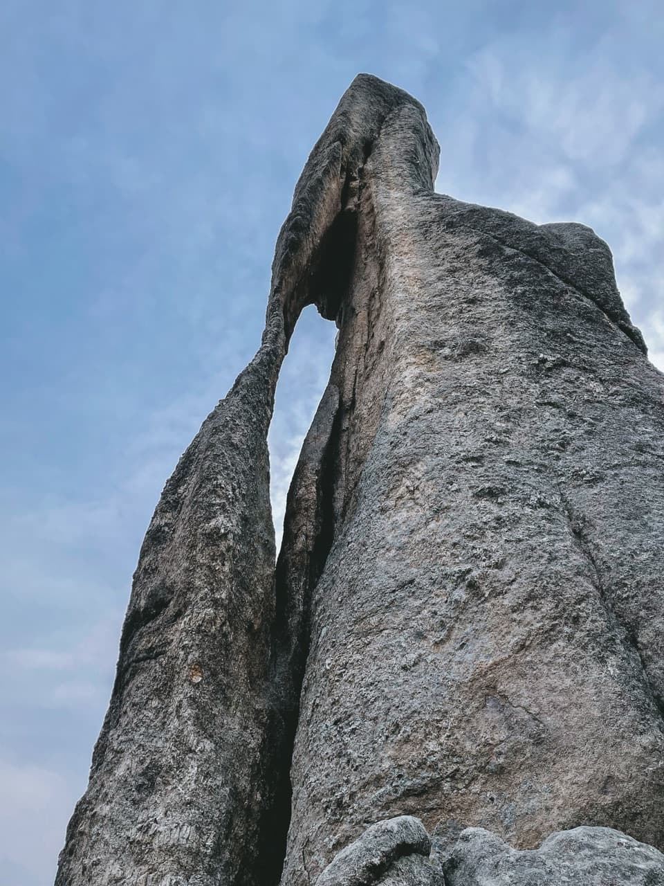
- Needle’s Eye: The Rock and the Tunnel
- Little Devils Tower: The Summit Scramble
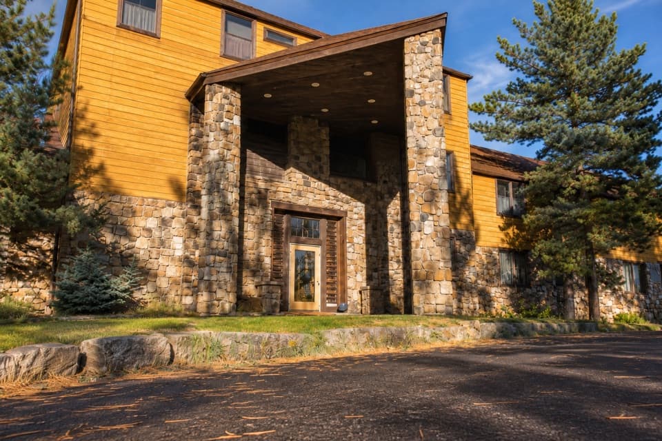
- Sylvan Lake Lodge: A Meal Above the Lake
- 82 audio storiesacross Custer’s roads, triggered by GPS as you drive
- Wildlife heatmapsfor Bison, Wapiti, Bighorn Sheep, and 13 more
- Works offlinemaps, 40 trails, 49 places, and audio download before you lose signal
- CarPlay readysimple controls built for the drive
“We recently toured Badlands, Custer State Park, Mount Rushmore and more! We learned so much from this app as we toured each of these sites. The audio tours are worth the money.”


Guide
More about Black Elk Peak
South Dakota’s high pointBlack Elk Peak is the granite high point of South Dakota, set in the Black Elk Wilderness with…
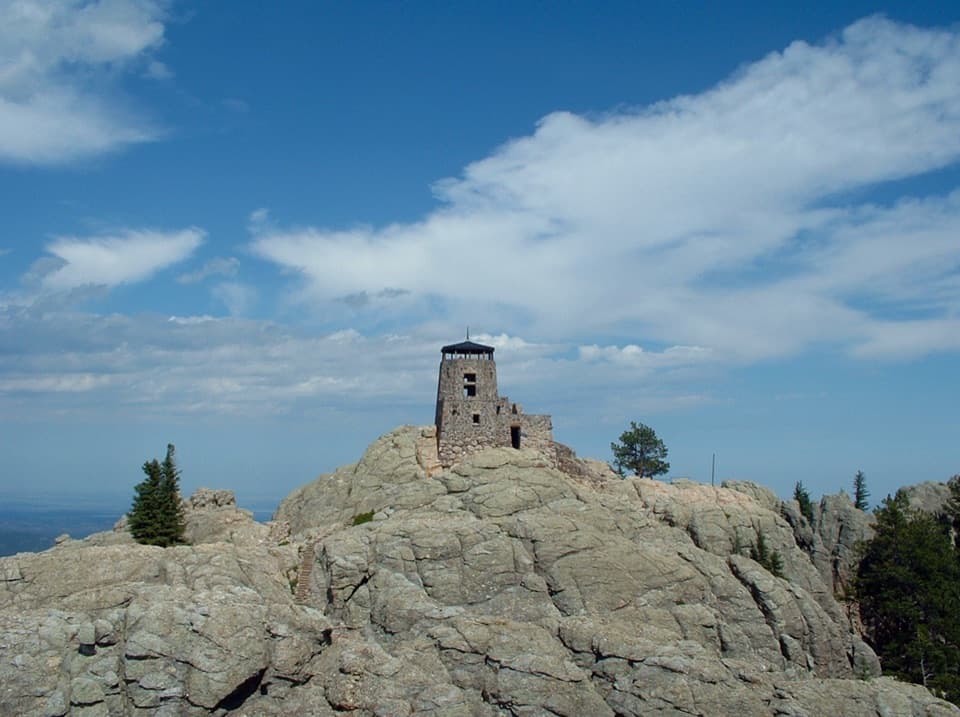
Black Elk Peak is the granite high point of South Dakota, set in the Black Elk Wilderness with a stone fire lookout on its summit. It lies just outside Custer State Park, but the popular way up starts at Sylvan Lake inside the park. You’re hiking for a bare-rock summit, the old lookout and a broad view over the Black Hills that can reach four states. Save this for a day when you want a real climb: the shortest approach is a 6.6-mile round trip, not a quick stop.
Take Trail 9 for the shortest routeTrail 9 starts by the footbridge at Sylvan Lake’s swimming beach and climbs 3.3 miles each way.
Trail 9 starts by the footbridge at Sylvan Lake’s swimming beach and climbs 3.3 miles each way. The park map calls it moderate, but a rocky final stretch and nearly seven miles on foot make it a substantial outing; hikers often find it strenuous. Trail 4 starts at the southeast side of the day-use parking area and reaches the peak in 3.5 miles one way via connecting trails. It’s a longer alternative, and adding Little Devil’s Tower makes for a still bigger day. Trail junctions in the wilderness can be easy to miss on the return, so keep your map handy. Trail 9 gets heavy use in peak season; an early start can mean a quieter summit and easier parking.
Plan for two sides of the boundaryThe Sylvan Lake trailheads are inside Custer State Park, where an entrance license is required;…
The Sylvan Lake trailheads are inside Custer State Park, where an entrance license is required; the routes then cross into federal wilderness. This is a hike-only summit, with no road or short accessible path to the top. The area map warns there are no restrooms along the trails, so plan around the day-use area before setting out. There’s no reliable water on the climb; carry what you’ll need for the full outing. The summit is cooler and windier than the lake, and summer storms can bring hail and strong winds, so take an extra layer.
Take in the whole summitThe lookout is part of a larger summit compound with a stairway, pump house and small dam.
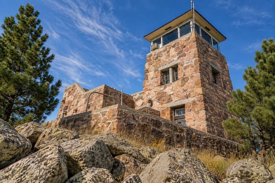
The lookout is part of a larger summit compound with a stairway, pump house and small dam. From the exposed granite, the view sweeps over the Black Hills and can reach South Dakota, Nebraska, Wyoming and Montana. For a photo that feels like this place, include the stone tower or stairway with some of the pale granite in the frame; a horizon-only shot misses the summit’s scale and character.
A working fire lookout, then a landmarkA wooden lookout was first put on the summit in 1911.
A wooden lookout was first put on the summit in 1911. The Civilian Conservation Corps built the present stone tower from 1938 to 1940; a 1935 dam held water for the site, and a pump house followed. The tower was last staffed in 1967. It’s now a historic landmark rather than an operating fire lookout, and the summit structures make the climb more interesting than a view alone.
The name on the mapThe peak was renamed in 2016 to honor Nicholas Black Elk, an Oglala Lakota spiritual leader.
The peak was renamed in 2016 to honor Nicholas Black Elk, an Oglala Lakota spiritual leader. Older maps may still call it Harney Peak, and the historic structure is still known as Harney Fire Lookout. That distinction helps make sense of the old and new names you’ll see for the same summit.
Granite at the heart of the HillsThe pale ledges underfoot are part of a huge granite dome built from hundreds of separate…
The pale ledges underfoot are part of a huge granite dome built from hundreds of separate igneous intrusions. Metamorphic rock around the dome dips away from it, so the summit’s bare slabs are a small, walkable glimpse of how the Black Hills were formed.
Wildlife
Wildlife in Custer
 993 sightingsBisonMost seen around 7 AMSighting map
 91 sightingsWapitiMost seen around 6 AMSighting map
 258 sightingsBighorn SheepMost seen around 7 AMSighting map
 85 sightingsMountain GoatMost seen around 7 AMSighting map
 256 sightingsBurroMost seen around 6 PMSighting map
 707 sightingsPronghornMost seen around 6 AMSighting map
Sighting maps show where each species has been reported across Custer. Wildlife moves, so no sighting is guaranteed.