Overview
About Hood Tunnel
Why stop
- A distinctive rock tunnel makes a memorable moment on the scenic drive.
Heads up
- Low, narrow clearance can exclude taller or wider vehicles.
Map
Where it is

The highest, rockiest slopes around here are a summer buffet for grizzly bears.
Custer Tour Guide
Your drive to Hood Tunnel, narrated.
Parkwolf is a GPS audio tour guide for Custer State Park. As you drive, it chimes in with what’s ahead: hidden gems, upcoming stops, history, geology, and wildlife, right through your car’s speakers.
Recorded for this area
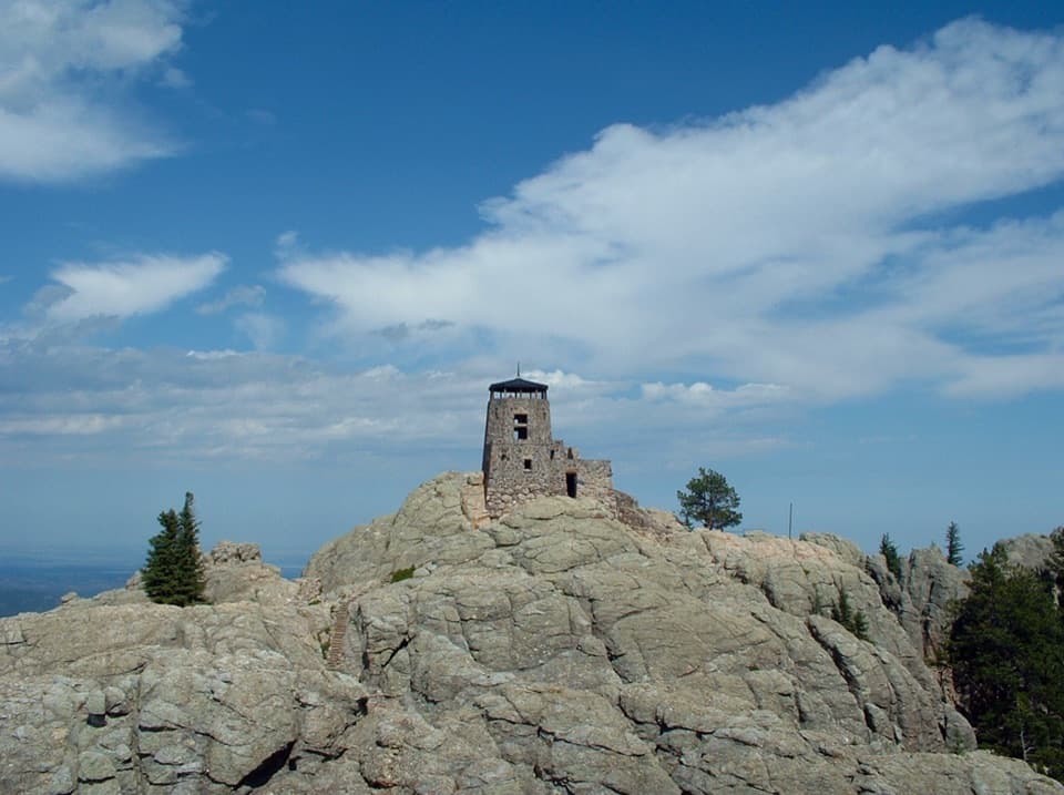
Why It’s Called Black Elk Peak“Older maps may call Black Elk Peak Harney Peak. In twenty sixteen, the federal Board on Geographic Names changed it to honor Black Elk, an Oglala Lakota holy man.”
Plays on the road 0.3 mi from Hood Tunnel in the Parkwolf Custer Tour Guide.
More stories near here in the app
- Sylvan Lake Lodge: A Meal Above the Lake
- Sylvan Lake: Rocks and Water
- A Spruce Twig's Tiny Pegs
- Little Devils Tower: The Summit Scramble
- 82 audio storiesacross Custer’s roads, triggered by GPS as you drive
- Wildlife heatmapsfor Bison, Wapiti, Bighorn Sheep, and 13 more
- Works offlinemaps, 40 trails, 49 places, and audio download before you lose signal
- CarPlay readysimple controls built for the drive
“We recently toured Badlands, Custer State Park, Mount Rushmore and more! We learned so much from this app as we toured each of these sites. The audio tours are worth the money.”


Guide
More about Hood Tunnel
What it isHood Tunnel is a short, single-lane rock tunnel on SD 87, part of the Needles Highway drive…
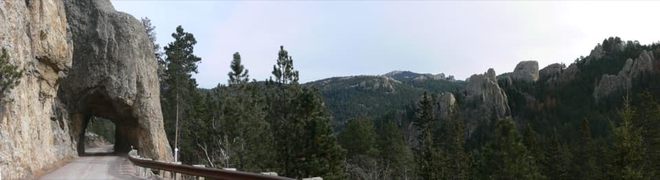
Hood Tunnel is a short, single-lane rock tunnel on SD 87, part of the Needles Highway drive through Custer State Park. It’s a fun landmark along the route, but the passage takes seconds; treat it as part of the drive rather than a destination that needs its own detour. The park map gives the opening as 8 ft 9 in wide and 9 ft 8 in high. If your vehicle is close to either limit, check the fit before entering. The map doesn’t mark a tunnel-side pullout, so plan on a drive-through rather than a separate stop.
The squeezeThe tunnel is paved but only one lane.
The tunnel is paved but only one lane. Wait for it to clear before entering if a vehicle is coming the other way. The driver passes through too quickly to take in the rock opening and the surrounding views at once; the fun is the close, unusual passage through the cliff.
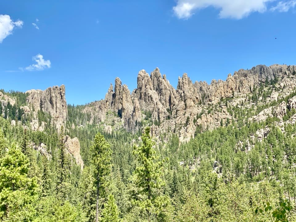
The road around itNeedles Highway runs 14 miles through pine and spruce forest, meadows, and jagged granite.
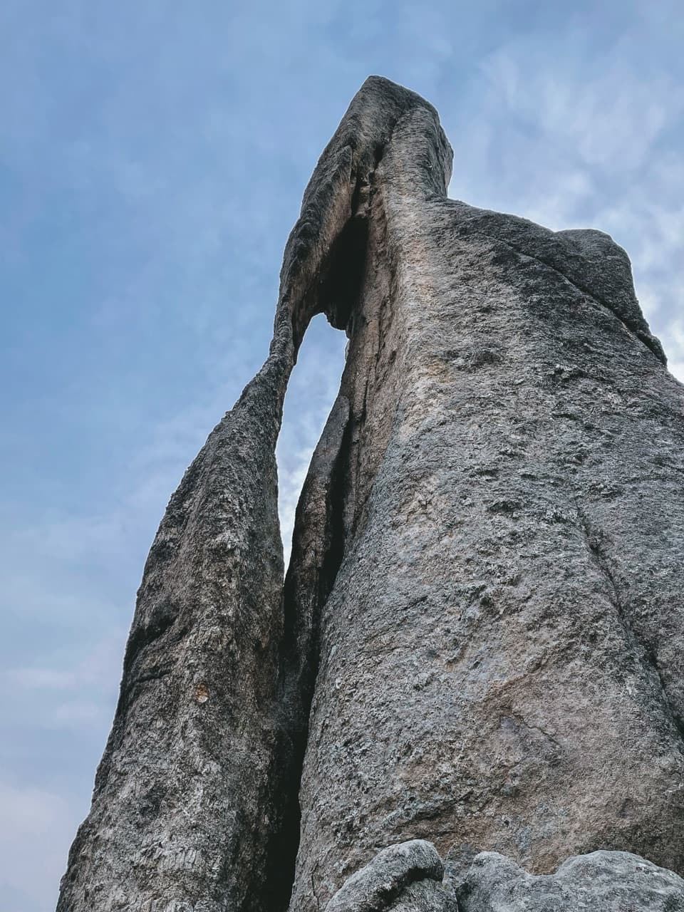
Needles Highway runs 14 miles through pine and spruce forest, meadows, and jagged granite. Former governor Peter Norbeck laid out the route on foot and horseback, and construction finished in 1922. Hood Tunnel sits near mile 34, west of Sylvan Lake; farther along, the drive passes the Needle’s Eye rock opening. The road closes to motor traffic for winter and doesn’t reopen before April 1, with the spring opening depending on conditions.
Wildlife
Wildlife in Custer
 993 sightingsBisonMost seen around 7 AMSighting map
 91 sightingsWapitiMost seen around 6 AMSighting map
 258 sightingsBighorn SheepMost seen around 7 AMSighting map
 85 sightingsMountain GoatMost seen around 7 AMSighting map
 256 sightingsBurroMost seen around 6 PMSighting map
 707 sightingsPronghornMost seen around 6 AMSighting map
Sighting maps show where each species has been reported across Custer. Wildlife moves, so no sighting is guaranteed.