Parking
No public car park or lawful approach is confirmed for the mapped start near −16.47086, 145.32344. This is separate from Mossman Gorge Cultural Centre; confirm access with QPWS before travelling.
Daintree National Park, QLD
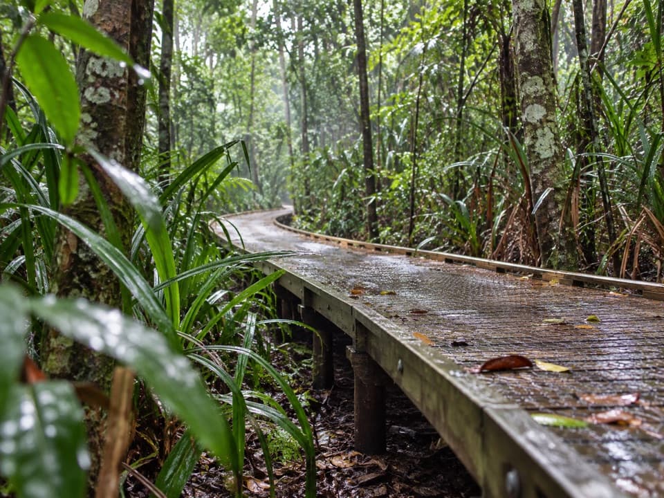
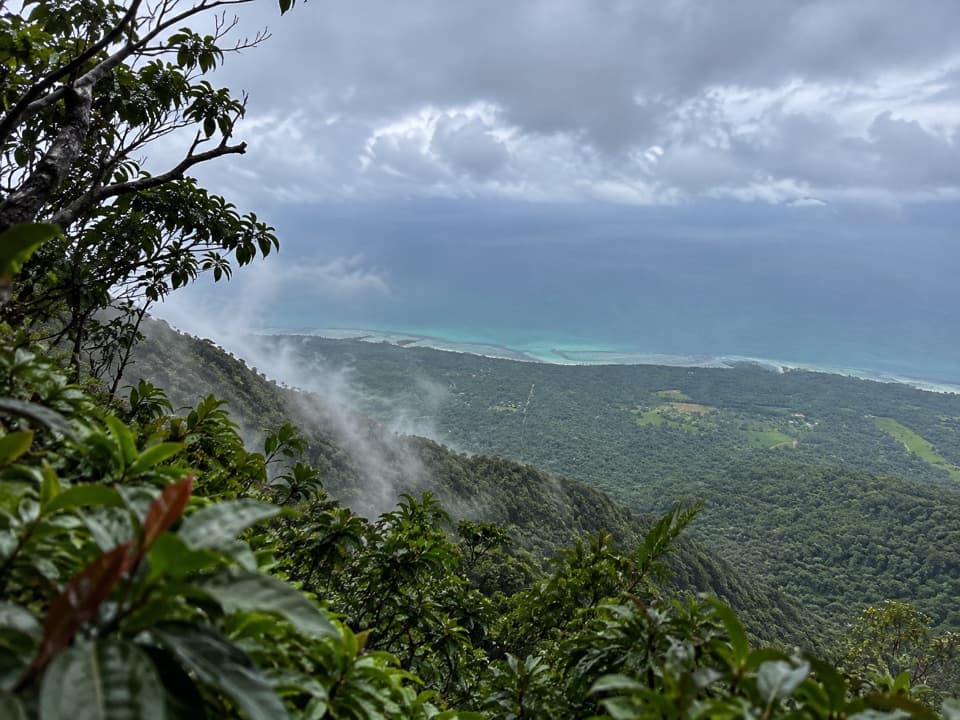
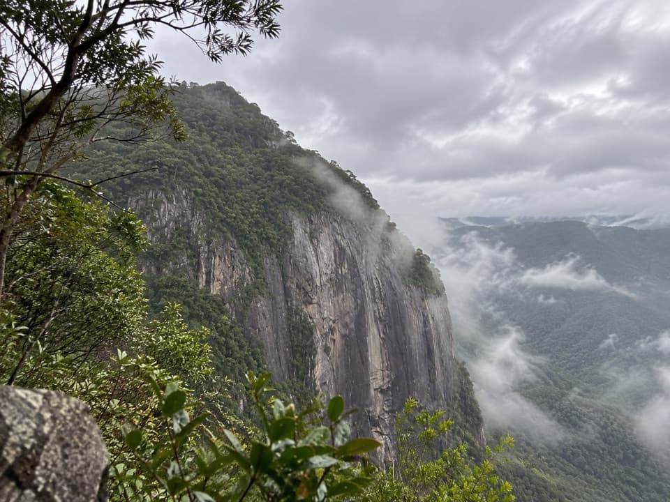
A steep, remote climb toward the sheer Bluff above Mossman Gorge.
Overview
Map & elevation
Plan your hike

The highest, rockiest slopes around here are a summer buffet for grizzly bears.
Daintree Tour Guide
Parkwolf is a GPS audio tour guide for Daintree National Park. As you drive, it chimes in with what’s ahead: hidden gems, upcoming stops, history, geology, and wildlife, right through your car’s speakers.
See the Daintree audio tourRecorded for this area
Mossman Gorge and Cultural Centre“Mossman Gorge Cultural Centre is coming up, the gateway to the river and its huge granite boulders. Park here and take the paid shuttle; the gorge walks start about two kilometres farther along.”
Plays on the road 3.2 km from the trailhead in the Parkwolf Daintree Tour Guide.
More stories near here in the app
“Fantastic app with many points of information… It’s great to just turn on while you’re driving and it gives you an audio tour of the national Park. We love it!!!!”


Trail guide
Mossman Bluff Walking Track is a steep out-and-back from the Mossman Gorge hinterland toward The Bluff. The stored line is 6.7 km one way, so walking it back makes a 13.4 km (8.3 mi) trip. The route reaches about 1,276 m near the Bluff; that is close to, but does not prove access to, the separately described 1,330 m cliff top. This is a remote mountain climb, not one of the short walks around the Gorge day-use area.
Plan for a very strenuous, all-day hike. The elevation profile rises 1,126 m from the mapped start to the endpoint; a separate map-based estimate gives about 1,467 m of total ascent, but none of the figures is ground-verified. Published time estimates range from 5 hours 20 minutes of steady walking before breaks to 7–10 hours return. I’d allow about 8½ hours and treat the distance and time as approximate.
Queensland Parks and Wildlife Service does not list this track or confirm its public access, maintenance, or parking. That does not establish that it is closed, but the uncertainty matters: confirm lawful access before travelling. The mapped start is separate from Mossman Gorge Cultural Centre, so don’t assume that site’s parking or facilities serve this route. Domestic pets are prohibited in Queensland national parks; certified support dogs have separate rules.
Wildlife
 688 sightingsSouthern CassowaryMost seen around 5 PMSighting map
 1,788 sightingsSaltwater CrocodileMost seen around 4 PMSighting map
 242 sightingsSpectacled Flying-foxMost seen around 6 PMSighting map
 332 sightingsBoyd's Forest DragonMost seen around 10 AMSighting map
 46 sightingsVictoria's RiflebirdMost seen around 7 AMSighting map
 188 sightingsLace MonitorMost seen around 10 AMSighting map
Sighting maps show where each species has been reported across Daintree. Wildlife moves, so no sighting is guaranteed.
Keep exploring
 ModerateMossman Gorge Rainforest Circuit3.4 km · 2 hr · 0.8 km awayA swaying bridge opens into dense tropical rainforest.
 EasyBaral Marrjanga Track0.7 km · 30 min · 0.8 km awayA short rainforest boardwalk to a Mossman River lookout.
 EasyRex Creek Bridge Track1.4 km · 1 hr · 0.8 km awayA short rainforest walk to a high, gently swaying creek bridge.
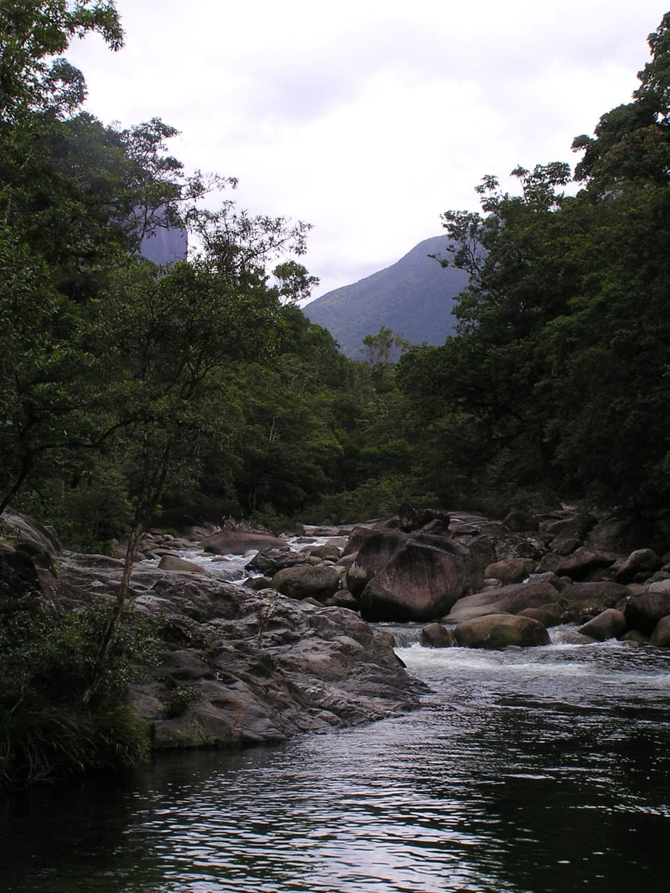 EasyLower Mossman River Track0.6 km · 40 min · 0.8 km awayQuick river lookouts over granite boulders and fast water.
 ChallengingManjal Jimalji (Devils Thumb) Trail12 km · 10 hr · 8.9 km awayA hard rainforest climb to coral fern and a boulder lookout.
 Sight · 0.6 km awayRex Creek Suspension BridgeA swaying bridge hangs above clear, cascading creek water.
 Sight · 0.7 km awayMossman River Lookout (Baral Marrjanga)A short boardwalk to a boulder-filled river and mountain view.
 Picnic area · 0.9 km awayMossman Gorge Day-use AreaA short, accessible rainforest boardwalk leads to Mossman River views.
 Visitor center · 2.7 km awayMossman Gorge Cultural CentreStart here for Kuku Yalanji culture and the Mossman Gorge shuttle.
Parkwolf’s Daintree ranking

The audio tour guide for the drive, plus offline maps, trails, and wildlife heatmaps for when the signal drops.