Parking
Park off the road after the Karnak Playhouse cattle grid on Karnak Road. Follow orange markers and signs about 700 m to Little Falls Creek; this access crosses private land, so stay on the designated route.

#7 of 22 trails in Daintree
Daintree National Park, QLD
A hard rainforest climb to coral fern and a boulder lookout.
Overview
Map & elevation
Plan your hike

The highest, rockiest slopes around here are a summer buffet for grizzly bears.
Daintree Tour Guide
Parkwolf is a GPS audio tour guide for Daintree National Park. As you drive, it chimes in with what’s ahead: hidden gems, upcoming stops, history, geology, and wildlife, right through your car’s speakers.
See the Daintree audio tourMore stories near here in the app
“Fantastic app with many points of information… It’s great to just turn on while you’re driving and it gives you an audio tour of the national Park. We love it!!!!”


Trail guide
Manjal Jimalji is a steep out-and-back to a natural lookout below the ridge. The named trail is 10.6 km return from Little Falls Creek; walking the marked access from Karnak Road parking adds about 1.4 km, so count on roughly 12 km (7.5 miles) in total. Allow about 10 hours from the car. You gain around 1,100 m through rainforest, and it is hard almost all the way. This is for experienced hikers with above-average fitness; it isn't a long, easy stroll.
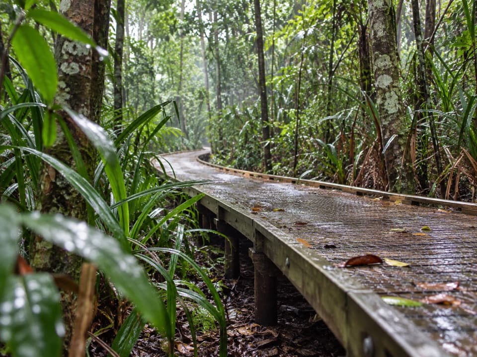
Park off the road after passing Karnak Playhouse and crossing the cattle grid, then follow the orange markers and direction signs to Little Falls Creek. The approach crosses private land, so stick to that marked route. Once on the trail, distance markers every kilometre help you keep track of the return. At Little Falls Creek, take care on the rocks: they get very slippery. The climb starts right away through lowland rainforest, with bloodwoods and wattles rising above the canopy and lawyer vine along the track edge.
At about 3 km and 900 m elevation, the vegetation shifts to upland rainforest. Look for red flowers on Proteaceae and blue kauri pine. Around 300 m farther on, the forest stops abruptly at an open coral fern patch at roughly 1,000 m, with wiry coral fern and wind-hardy mountain tea-tree. Birdlife changes with altitude, too, so notice the shift as you climb. On clear days this opening gives an early view toward Mossman and Port Douglas before the full lookout.
The coral fern patch is a sensible turnaround if you can't confidently handle the upper route. The lookout is another 2 km each way; the last section has large boulders and requires climbing skills, and you should continue only with above-average fitness and at least five daylight hours left. From the patch, returning to parking makes about an 8.5 km outing. Use the kilometre markers to keep a daylight margin, not just to count how far you've come.
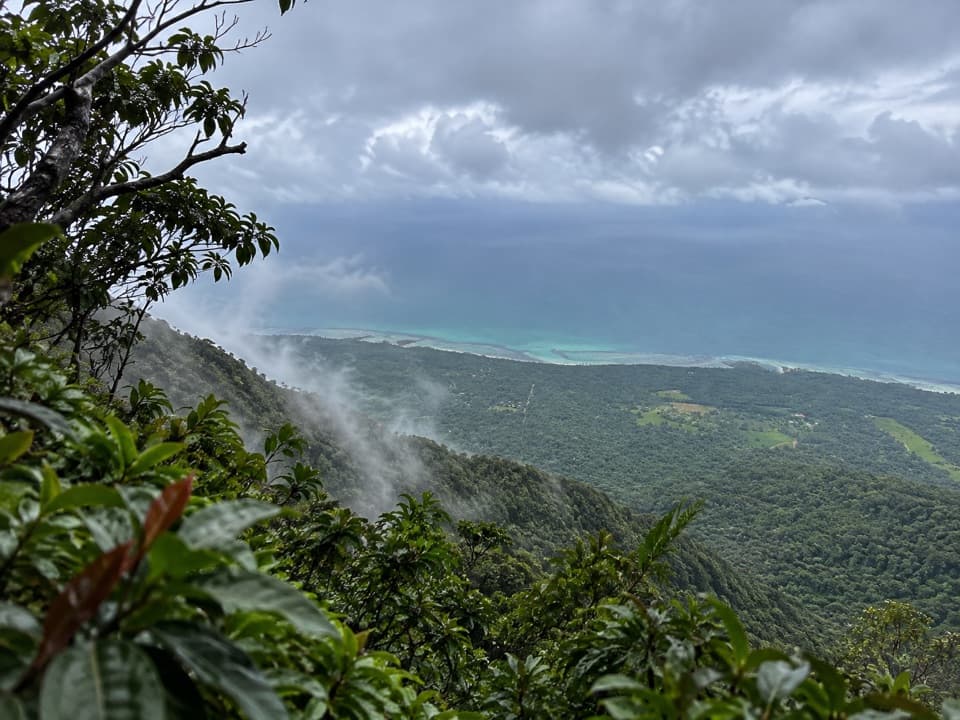
At about 3.7 km from Little Falls Creek, the path re-enters rainforest. Roughly 400 m later is Split Rock, a large cracked boulder. Beyond it, the trail undulates toward Manjal Jimalji; the final approach crosses large boulders to a natural lookout below the ridge crest. On a clear day, look east over Mossman's lowlands and the coast; the Dagmar Range lies north, with Wundu (Thornton Peak) and the Daintree Valley to the northeast. Mist often drifts inland from the sea and gets caught on the ranges, so a cloudy summit can mean wet rock and no view.
Manjal Jimalji is the Eastern Kuku Yalanji name for Devils Thumb, a significant cultural place connected with the story of fire creation. The public account doesn't give the story's details, so leave it there and treat the place with care. The coral fern clearing gives the most distinctive photo: frame some of the bright fern and mountain tea-tree against the wooded slopes and coast on a clear day. Around the lookout boulders, look for red-flowering native rhododendron.
May to November is the more reliable season. Avoid very hot, humid, wet or cloudy conditions: the creek rocks and steep path become slippery, and cloud can hide the views. Start in daylight and be back before dark. No drinking water or food is confirmed at the access, so carry what you need before leaving town. Domestic pets aren't allowed; certified support dogs follow separate access rules.
Wildlife
 688 sightingsSouthern CassowaryMost seen around 5 PMSighting map
 1,788 sightingsSaltwater CrocodileMost seen around 4 PMSighting map
 242 sightingsSpectacled Flying-foxMost seen around 6 PMSighting map
 332 sightingsBoyd's Forest DragonMost seen around 10 AMSighting map
 46 sightingsVictoria's RiflebirdMost seen around 7 AMSighting map
 188 sightingsLace MonitorMost seen around 10 AMSighting map
Sighting maps show where each species has been reported across Daintree. Wildlife moves, so no sighting is guaranteed.
Keep exploring
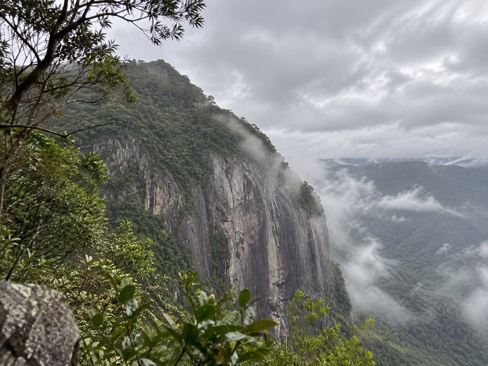 ChallengingMossman Bluff Walking Track13.4 km · 8.5 hr · 8.9 km awayA steep, remote climb toward the sheer Bluff above Mossman Gorge.
 ModerateMossman Gorge Rainforest Circuit3.4 km · 2 hr · 8.9 km awayA swaying bridge opens into dense tropical rainforest.
 EasyBaral Marrjanga Track0.7 km · 30 min · 8.9 km awayA short rainforest boardwalk to a Mossman River lookout.
 EasyRex Creek Bridge Track1.4 km · 1 hr · 8.9 km awayA short rainforest walk to a high, gently swaying creek bridge.
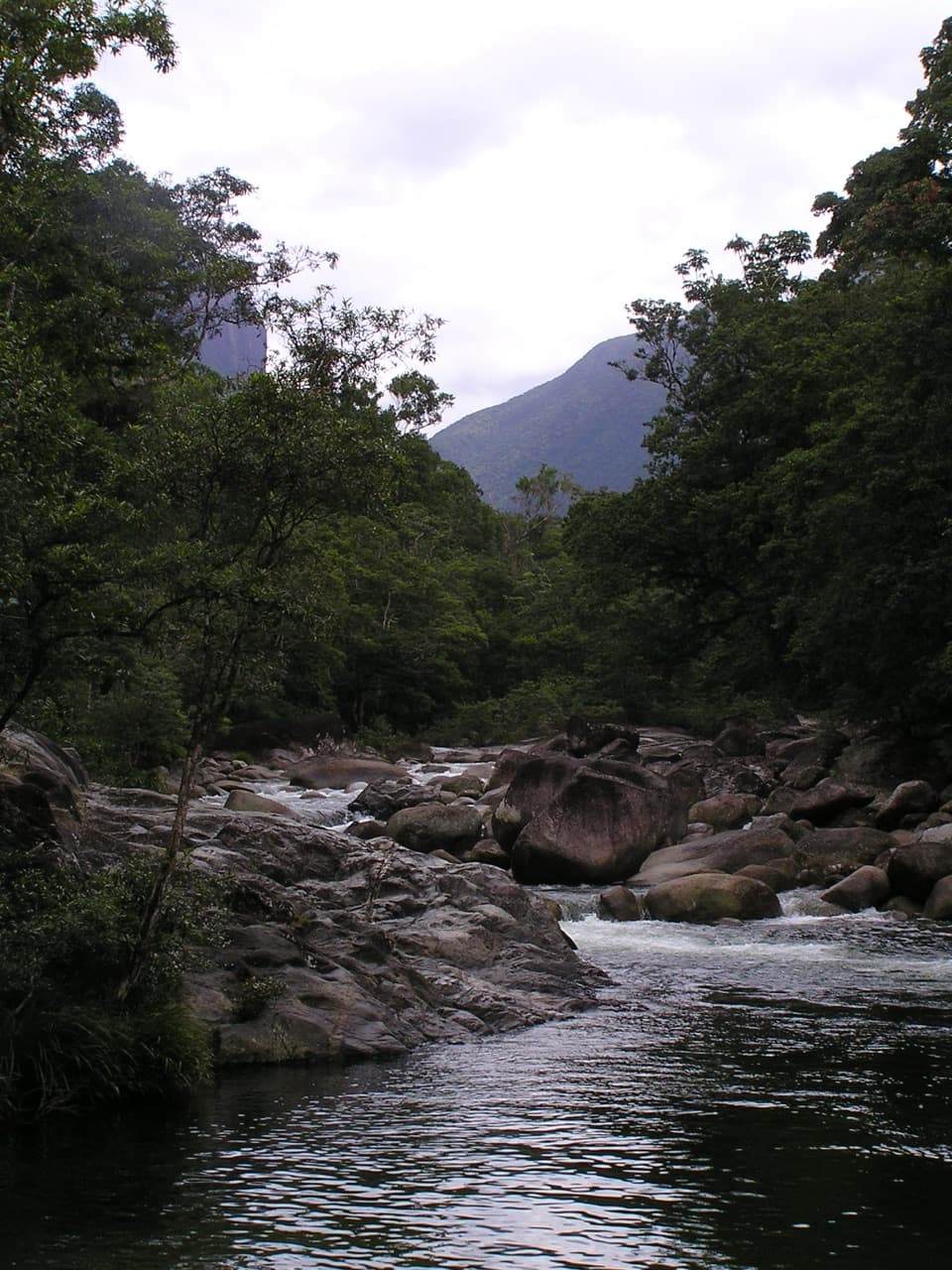 EasyLower Mossman River Track0.6 km · 40 min · 8.9 km awayQuick river lookouts over granite boulders and fast water.
 ChallengingThornton Peak Walking Track21.4 km · 10 hr · 17.3 km awayRemote 21.4km peak climb; verify access before using this route.
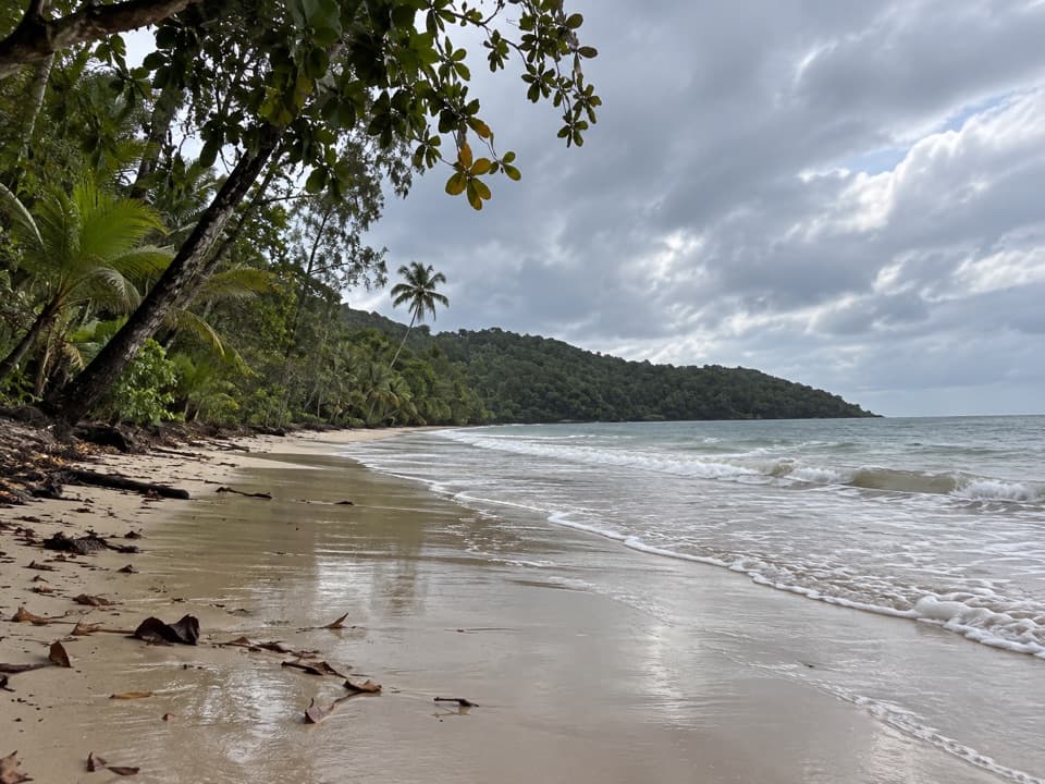 EasyCape Kimberley Walk5 km · 1.5 hr · 19.4 km awayA 5 km beach walk to the Daintree River mouth.
 EasyDaintree Discovery Centre Walk0.9 km · 1 hr · 19.6 km awayA ticketed canopy walk through cassowary country and rainforest stories.
 Sight · 8.7 km awayRex Creek Suspension BridgeA swaying bridge hangs above clear, cascading creek water.
 Sight · 8.7 km awayMossman River Lookout (Baral Marrjanga)A short boardwalk to a boulder-filled river and mountain view.
 Picnic area · 8.9 km awayMossman Gorge Day-use AreaA short, accessible rainforest boardwalk leads to Mossman River views.
 Visitor center · 9.2 km awayMossman Gorge Cultural CentreStart here for Kuku Yalanji culture and the Mossman Gorge shuttle.
 Sight · 15 km awayBruce Belcher’s Daintree River CruisesA guide’s eye makes crocodiles and other wildlife easier to spot.
 Sight · 15.6 km awaySolar Whisper Daintree River CruisesQuiet solar power and a sharp guide help find camouflaged wildlife.
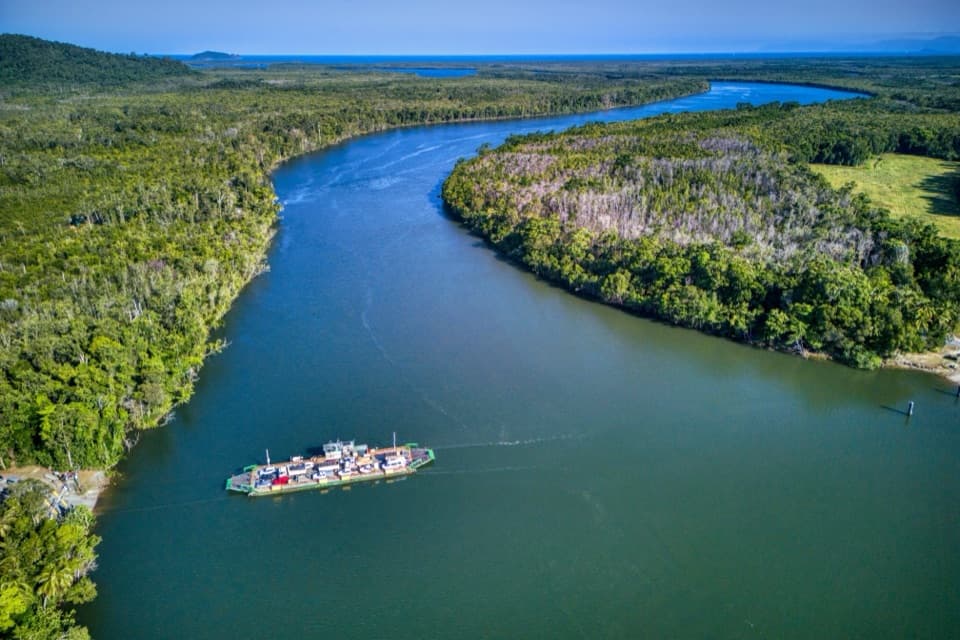 Sight · 15.9 km awayDaintree River FerryA five-minute cable ferry opens the road to Cape Tribulation.
Parkwolf’s Daintree ranking

The audio tour guide for the drive, plus offline maps, trails, and wildlife heatmaps for when the signal drops.