Parking
Madja car park is on Cape Tribulation Road, 6 km past Thornton Beach. From the Daintree ferry, drive 27 km north; the circuit begins beside the car park.

#2 of 22 trails in Daintree
Daintree National Park, QLD
Rainforest boardwalk, mangrove creek, and an easy loop
Overview
Map & elevation
Plan your hike

The highest, rockiest slopes around here are a summer buffet for grizzly bears.
Daintree Tour Guide
Parkwolf is a GPS audio tour guide for Daintree National Park. As you drive, it chimes in with what’s ahead: hidden gems, upcoming stops, history, geology, and wildlife, right through your car’s speakers.
See the Daintree audio tourRecorded for this trailhead
Madja Boardwalk and Noah Creek“Madja Boardwalk is coming up, an easy loop where rainforest gives way to the mangroves of Noah Creek. Allow about forty-five minutes for the one point two kilometre circuit, with time for the plant signs.”
Plays as you drive up to this trailhead in the Parkwolf Daintree Tour Guide.
More stories near here in the app
“Fantastic app with many points of information… It’s great to just turn on while you’re driving and it gives you an audio tour of the national Park. We love it!!!!”


Trail guide
Madja Boardwalk is a 0.75-mile (1.2 km) circuit from the Madja car park, threading through dense lowland rainforest, crossing Noah Creek into muddy mangrove habitat, and returning by boardwalk. Allow about 45 minutes for the walk; give yourself longer if you want to linger at the plant signs or creek lookout. This is a Grade 1 walk, so the appeal is the change in scenery and the creek, not distance or strenuous climbing. The constructed boardwalk keeps the route contained, and the lookout is part of this same circuit.
Start under rainforest canopy, then pay attention as the path approaches Noah Creek. Once you cross it, the boardwalk moves into a muddier mangrove setting. The change in sights, sounds and smells is the point of the walk: this is one of the rare short routes where you can notice the transition happening step by step. A short branch takes you to the creek lookout. Follow it out and back to its junction before finishing the circuit; it is a pause along the same walk, not another long trail. Because the route is so short, compare the rainforest canopy with the mangrove edge instead of treating the boardwalk as just a passage.
Pause at the constructed lookout and gaze over the mangrove-lined creek. Fish might be visible, with eels possible; at low tide, listen for crabs and other crustaceans along the muddy banks. Those are possibilities, not guaranteed sightings, so a slow look is more rewarding than walking through on autopilot. Noah Creek is crocodile habitat: stay on the boardwalk, obey warning signs, and do not approach the water.
Madja means rainforest or jungle. Signs along the boardwalk label plants and trace their evolutionary journey; the Daintree is home to most of the world's 19 primitive plant families. You do not need to know botany to enjoy them: notice the leaf shapes, then compare the dense rainforest with the mangrove edge. The walk is in the Wet Tropics World Heritage Area, and those signs turn a simple stroll into a closer look at why this forest is so unusual.
The 45-minute estimate is walking time; stop for the signs and the lookout, and take the loop at an unhurried pace. It is Grade 1 and wheelchair-accessible with assistance. Madja car park is on Cape Tribulation Road, 6 km past Thornton Beach and 27 km north of the Daintree ferry. Pets are not allowed in national parks, though certified support and assistance dogs are permitted in public areas. If you want a longer boardwalk walk, the separate 1.5 km Dubuji circuit is another Cape Tribulation option.
Wildlife
 688 sightingsSouthern CassowaryMost seen around 5 PMSighting map
 1,788 sightingsSaltwater CrocodileMost seen around 4 PMSighting map
 242 sightingsSpectacled Flying-foxMost seen around 6 PMSighting map
 332 sightingsBoyd's Forest DragonMost seen around 10 AMSighting map
 46 sightingsVictoria's RiflebirdMost seen around 7 AMSighting map
 188 sightingsLace MonitorMost seen around 10 AMSighting map
Sighting maps show where each species has been reported across Daintree. Wildlife moves, so no sighting is guaranteed.
Keep exploring
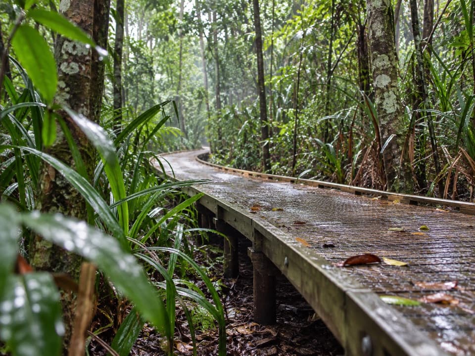 EasyDubuji Boardwalk1.5 km · 45 min · 5.9 km awayAn easy loop through palms, creeks and salty mangroves.
 EasyDubuji Myall Beach Track0.7 km · 20 min · 5.9 km awayA short rainforest-to-sand walk from the Dubuji hub.
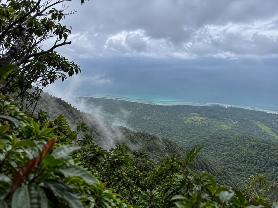 ChallengingMount Sorrow Ridge Trail7 km · 6 hr · 7.2 km awayA steep, rooty rainforest climb to a clear-day coastal lookout.
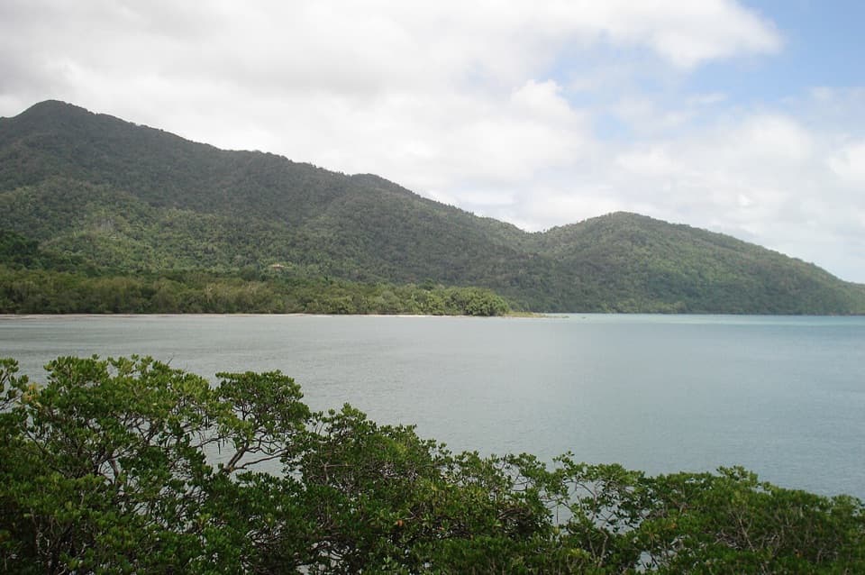 EasyKulki Boardwalk0.6 km · 15 min · 7.4 km awayA quick rainforest walk to Cape Tribulation’s coastal view.
 ModerateKulki Saddle Track to Myall Beach0.7 km · 30 min · 7.4 km awayA steep rainforest descent reaches Myall BeachModerateMyall Beach Walk1.5 km · 45 min · 7.4 km awayA sandy coastal traverse joins Kulki and Dubuji access areas.
 ModerateCape Tribulation to Emmagen Creek Walk10 km · 5 hr · 7.5 km awayA low-tide rainforest beach walk to Emmagen’s rocky shore.
 EasyEmmagen Creek Walk0.8 km · 24 min · 11 km awayA quick rainforest walk to the upstream fork at Emmagen Creek.
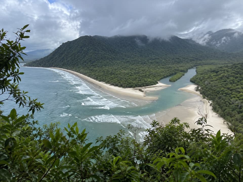 Beach · 1.3 km awayNoah BeachRainforest meets the beach, but leave swimming off your plan.
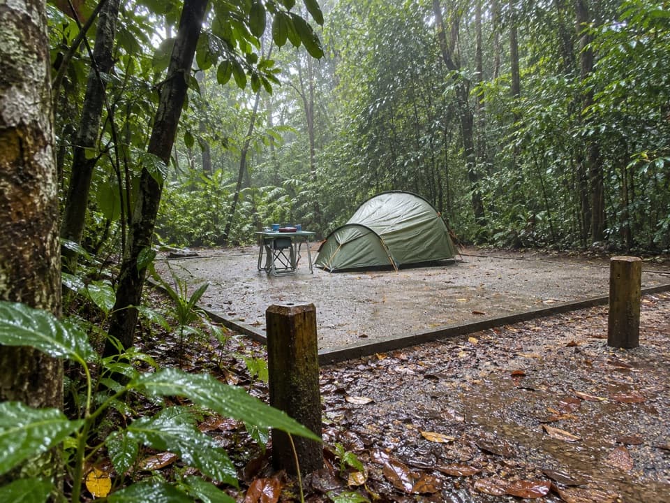 Campground · 1.3 km awayNoah Beach Camping AreaCamp under forest canopy, then reach the beach in 50m
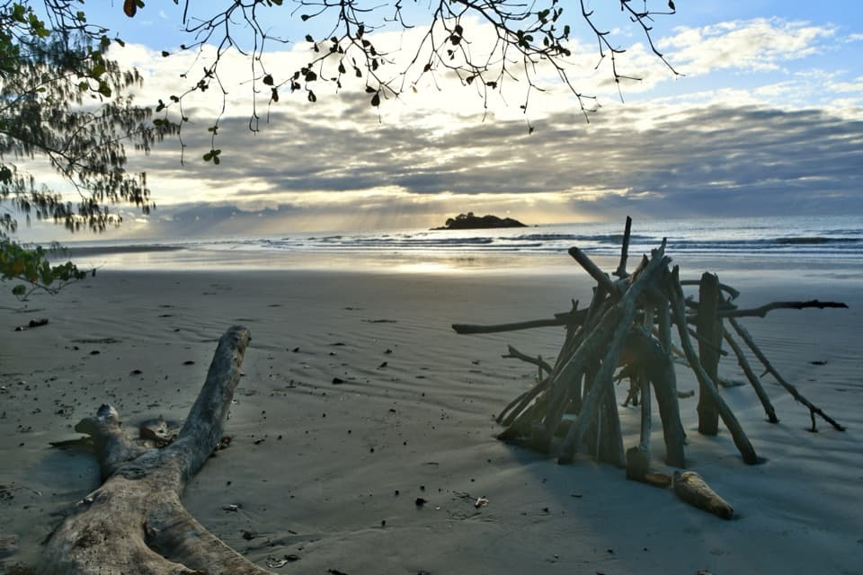 Beach · 3.9 km awayThornton BeachStruck Island makes an easy landmark on a quiet beach walk.
 Sight · 4.2 km awayCape Tribulation Wilderness CruisesSee Cooper Creek from a small boat, with crocodiles as a bonus.
 Sight · 4.8 km awayDaintree Entomological MuseumA lifetime of insect collecting, packed into one specialist museum.
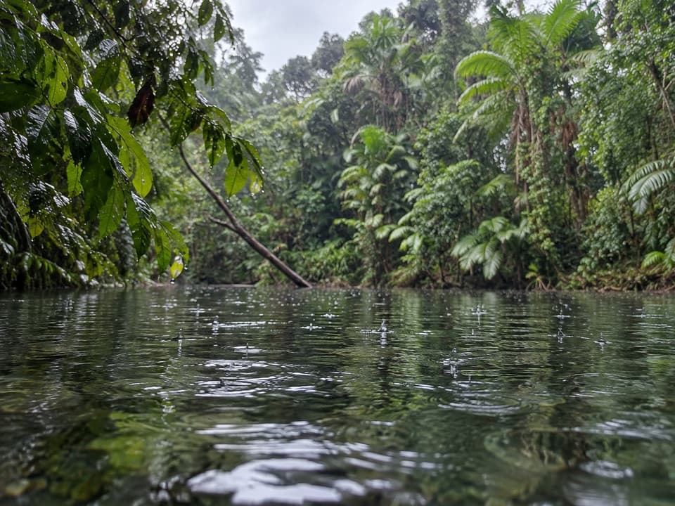 Restaurant · 4.9 km awayMason’s Café and WaterholeCrocodile or emu burgers, then a short walk to the waterhole.
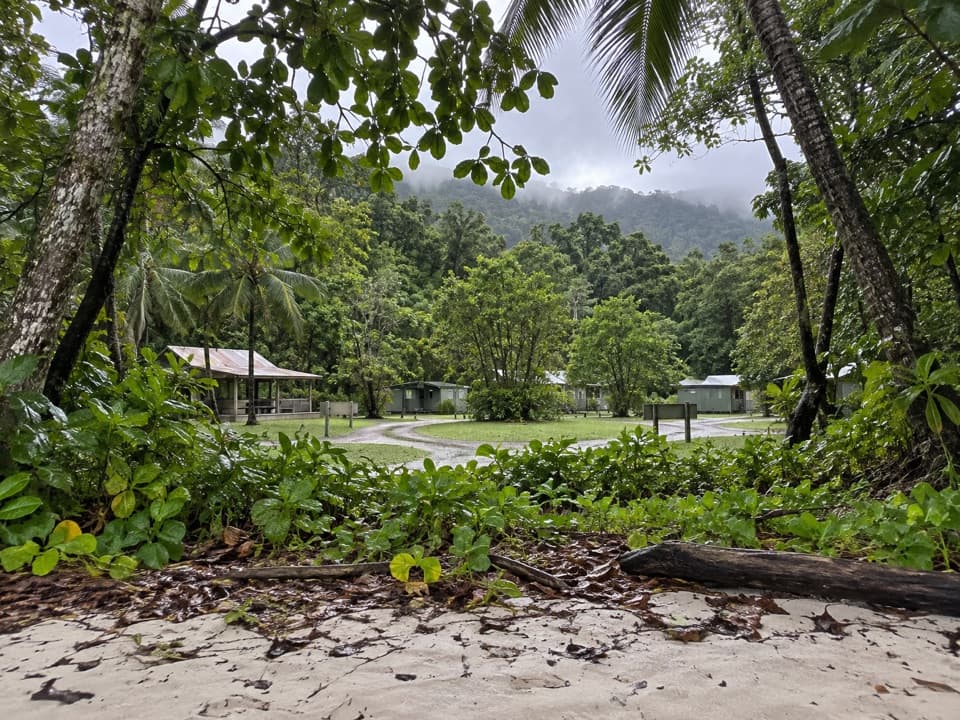 Campground · 5.3 km awayCape Tribulation CampingBeachcamp by Myall Beach, or unpowered sites in rainforest.
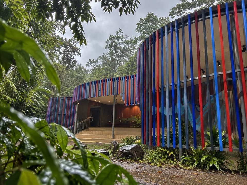 Visitor center · 5.9 km awayEastern Kuku Yalanji Bamanga Muruku Tourism HubA centre for Kuku Yalanji culture beside the Dubuji walk.
Parkwolf’s Daintree ranking

The audio tour guide for the drive, plus offline maps, trails, and wildlife heatmaps for when the signal drops.


