Parking
Roadside car park opposite the marked trailhead on Cape Tribulation–Bloomfield Road, about 150 m from Kulki day-use area. Toilets and picnic tables are at Kulki; there are no listed facilities on the route.
#6 of 22 trails in Daintree
Daintree National Park, QLD
A steep, rooty rainforest climb to a clear-day coastal lookout.
Overview
Mount Sorrow Ridge Trail is a 7 km (4.35 mi) return out-and-back from Cape Tribulation–Bloomfield Road to a natural lookout at 680 m. It climbs through lowland rainforest into wind-shaped upland forest before reaching the coast-facing view. QPWS grades it 4 and allows six hours. I’d choose it for a full, demanding rainforest hike, not a quick viewpoint stop. The 7 km includes the walk back to the same roadside start; the mapped line follows the track once. The marked route ends at the official lookout. Some walkers continue beyond it to rougher rocky viewpoints, but that informal extension isn’t included here.
 Parkwolf’s verdictIs this the hike for you?
Map & elevation
Plan your hike

The highest, rockiest slopes around here are a summer buffet for grizzly bears.
Daintree Tour Guide
Parkwolf is a GPS audio tour guide for Daintree National Park. As you drive, it chimes in with what’s ahead: hidden gems, upcoming stops, history, geology, and wildlife, right through your car’s speakers.
See the Daintree audio tourRecorded for this trailhead
Mount Sorrow Trailhead“You're approaching the Mount Sorrow trailhead, where a steep rainforest hike leads to coastal views on a clear day.”
Plays as you drive up to this trailhead in the Parkwolf Daintree Tour Guide.
More stories near here in the app
“Fantastic app with many points of information… It’s great to just turn on while you’re driving and it gives you an audio tour of the national Park. We love it!!!!”


Trail guide
The trail starts opposite the roadside car park, about 150 m from Kulki day-use area. Use Kulki’s toilets and picnic tables before you start; there are no listed facilities along the track. No water source or food outlet is listed at the trailhead, so carry enough water and food for a six-hour hike. Start early: this steep walk leaves little margin for a slow start. If you’re driving from the south, the Daintree River ferry is on the way to the trailhead, so factor that crossing into your road plan.
The first kilometre climbs quickly under fan palms and pandanus, then the trail rolls through short rises and dips. Roots and logs slow your pace more than the distance suggests. This is lowland rainforest at first, with buttressed trunks and vines climbing toward the canopy.
Between about 1 and 2 km, look at the trunks: Ryparosa kurrangii can flower straight from its trunk rather than only at the ends of branches. In Australia it grows naturally only in the Cape Tribulation–Daintree River area. Epiphytes and other cauliflorous trees make this a good stretch to slow down and notice details instead of racing for the lookout.
From about 2 to 3 km, the climb sharpens into narrow, very steep ground with rock, roots and log steps. Foot placement takes attention, and the descent is just as awkward. The trail is marked and kilometre posts help, but walkers do sometimes lose the line; pay attention at bends rather than following every faint side track.
As you gain height, lowland palms give way to cycads, bumpy satinash and orania palms. Near the ridge the canopy stays low under the wind, then opens into acacia before the lookout. Boyd’s forest dragons may sit on trunks along the way; drongos, topknot pigeons and butterflies are more likely near the top.
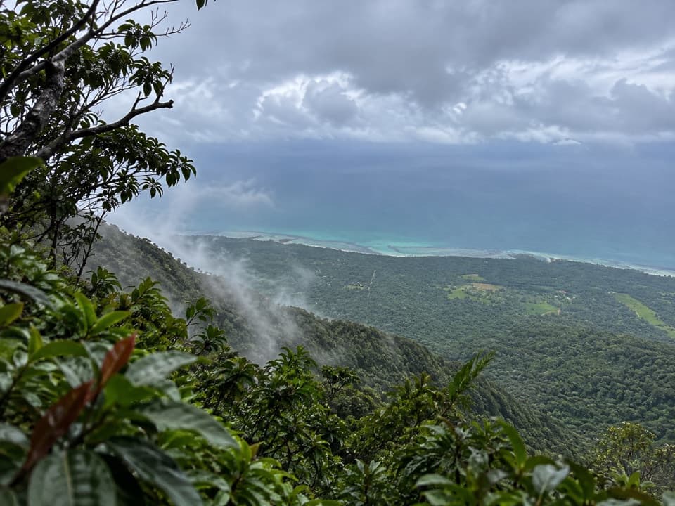
The official endpoint is a natural lookout, not a constructed platform. On a clear day, the view reaches over the Daintree coast and Cape Tribulation toward Snapper Island and reef shadows offshore. Cloud can hide the coast, and foliage can screen parts of the view, so the rainforest is the more reliable payoff. For a photo, keep a bit of rainforest foreground with the reef in view; it gives the scene more depth than a sea-only frame.
Stop at the official lookout and return the same way. The longer rocky continuation described by some walkers lies beyond the marked route, and its access and safety aren’t established. Don’t count it as part of the 7 km hike.
This is a Grade 4, six-hour day in humid tropical conditions, for fit, experienced walkers. Wet roots and rock make the steep sections slippery; hot, humid weather adds to the effort, and cloud can take away the view. Avoid setting out in wet or cloudy conditions or during oppressive heat. Carry all the water you need. Domestic pets aren’t allowed in Queensland national parks.
Wildlife
 688 sightingsSouthern CassowaryMost seen around 5 PMSighting map
 1,788 sightingsSaltwater CrocodileMost seen around 4 PMSighting map
 242 sightingsSpectacled Flying-foxMost seen around 6 PMSighting map
 332 sightingsBoyd's Forest DragonMost seen around 10 AMSighting map
 46 sightingsVictoria's RiflebirdMost seen around 7 AMSighting map
 188 sightingsLace MonitorMost seen around 10 AMSighting map
Sighting maps show where each species has been reported across Daintree. Wildlife moves, so no sighting is guaranteed.
Keep exploring
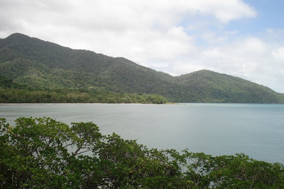 EasyKulki Boardwalk0.6 km · 15 min · 0.3 km awayA quick rainforest walk to Cape Tribulation’s coastal view.
 ModerateKulki Saddle Track to Myall Beach0.7 km · 30 min · 0.3 km awayA steep rainforest descent reaches Myall Beach
 ModerateMyall Beach Walk1.5 km · 45 min · 0.3 km awayA sandy coastal traverse joins Kulki and Dubuji access areas.
 ModerateCape Tribulation to Emmagen Creek Walk10 km · 5 hr · 0.5 km awayA low-tide rainforest beach walk to Emmagen’s rocky shore.
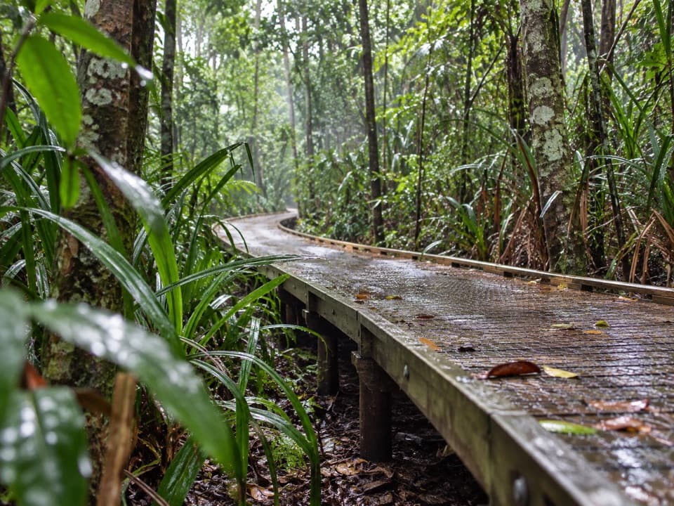 EasyDubuji Boardwalk1.5 km · 45 min · 1.3 km awayAn easy loop through palms, creeks and salty mangroves.EasyDubuji Myall Beach Track0.7 km · 20 min · 1.3 km awayA short rainforest-to-sand walk from the Dubuji hub.
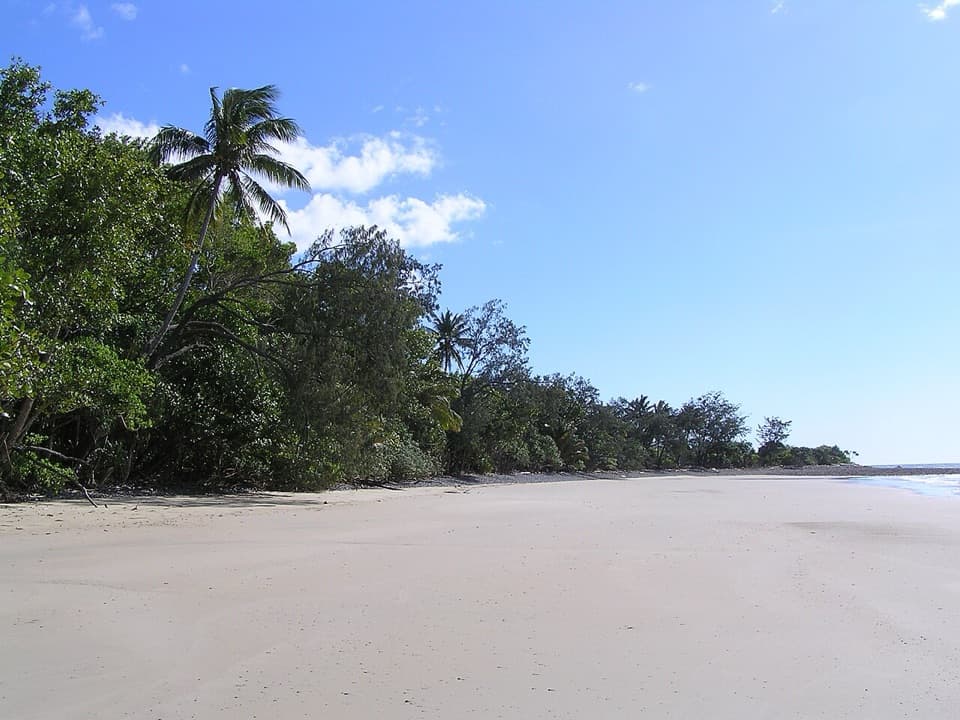 EasyEmmagen Beach Walk1.4 km · 45 min · 4.3 km awayA short marked track leads from rainforest to a sandy beach.
 EasyEmmagen Creek Walk0.8 km · 24 min · 4.4 km awayA quick rainforest walk to the upstream fork at Emmagen Creek.
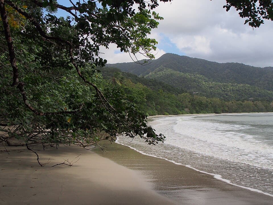 Beach · 0.3 km awayCape Tribulation Beach (Kulki)A short boardwalk opens onto a rainforest-framed beach and headland view.
 Sight · 0.8 km awayCape Trib FarmTry unfamiliar tropical fruit, then see how it grows.
 Sight · 1 km awayTreetops Adventure Cape TribulationNine ziplines take you 15 metres up into the rainforest canopy.
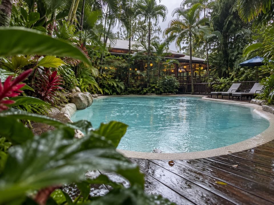 Lodging · 1 km awayPK’s Jungle VillageCabins, camping and a rainforest pool with a sociable bar.
 Visitor center · 1 km awayCape Tribulation Bat HouseA small rainforest stop focused on flying fox conservation.
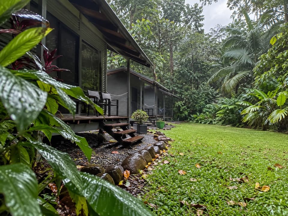 Campground · 1.1 km awaySafari Lodge and CampgroundAn overnight rainforest base with cabins, campsites and its own café.
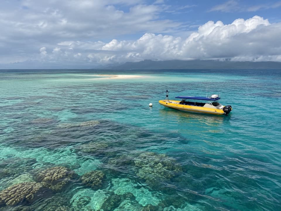 Sight · 1.1 km awayOcean SafariA half-day reef trip with guided snorkelling and rainforest views.
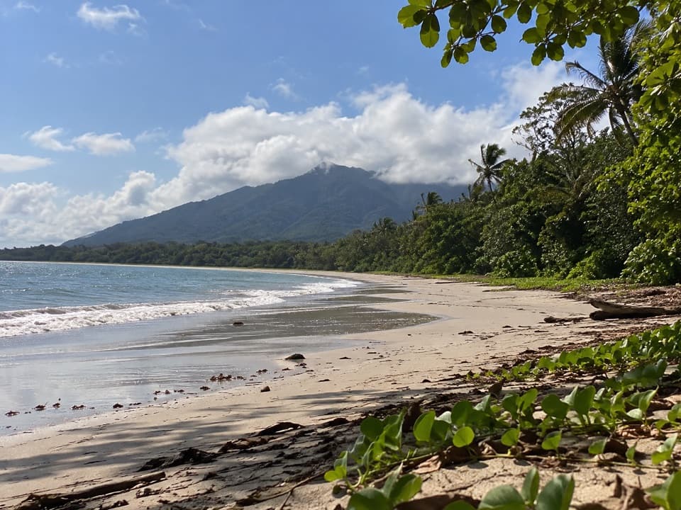 Beach · 1.2 km awayMyall BeachRainforest and palms meet the Coral Sea on open sand.
Parkwolf’s Daintree ranking
The audio tour guide for the drive, plus offline maps, trails, and wildlife heatmaps for when the signal drops.


