Parking
Start at the Tarka Trail connection in Sticklepath, just below the A30, and finish at Chagford Bridge. Dedicated trail parking was not verified at either end, so arrange a pickup or onward transport between the villages.
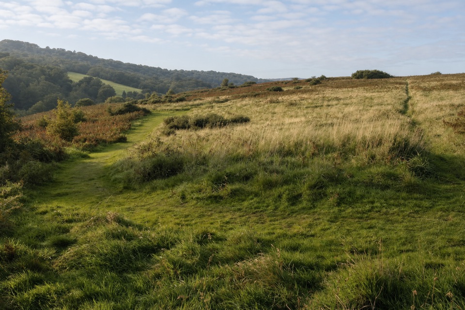
Dartmoor National Park
A village link with open moor views from Ramsley Hill.
Overview
Map & elevation
Plan your hike

The highest, rockiest slopes around here are a summer buffet for grizzly bears.
Dartmoor Tour Guide
Parkwolf is a GPS audio tour guide for Dartmoor National Park. As you drive, it chimes in with what’s ahead: hidden gems, upcoming stops, history, geology, and wildlife, right through your car’s speakers.
Recorded for this trailhead
Finch Foundry in Sticklepath“Finch Foundry is coming up in Sticklepath, where water from the River Taw drives three wheels that power the old hammers and shears.”
Plays as you drive up to this trailhead in the Parkwolf Dartmoor Tour Guide.
More stories near here in the app
“Fantastic app with many points of information… It’s great to just turn on while you’re driving and it gives you an audio tour of the national Park. We love it!!!!”


Trail guide
The Taw-Teign Link is a 6.2-mile one-way walk between the Tarka Trail at Sticklepath and the Two Moors Way at Chagford Bridge. It crosses Dartmoor’s northern fringe through village streets, lanes and footpaths, with an open view from Ramsley Hill and a wooded descent to the Teign. The name brings together two river-linked long-distance routes: the Taw through the Tarka Trail and the Teign through the Two Moors Way. This is a useful connector, not an all-moor outing. Allow about three to three and a half hours walking, and plan your return from Chagford before you set off.
From the Tarka Trail connection below the A30, the route heads through Sticklepath and into South Zeal. It passes the village centre, including the market cross and old inns, then climbs Ramsley Hill. This is the most open part of the walk: pause for the view across Dartmoor and toward South Tawton before following the path onward. The climb gives the route its main payoff, but most of the way between villages feels practical rather than remote.
Beyond Ramsley Hill, the route follows moorland lanes toward Throwleigh, crosses to Wonson, then passes through Blackaton Copse and heads toward Murchington. Near the end, it drops steeply down a field and through a small wood to Chagford Bridge. That’s where this link meets the Two Moors Way. Some mapped traces continue farther into Chagford, but this walk ends at the connection. The road and lane sections break up the footpaths, so expect a mixed, village-to-village rhythm rather than a continuous track across open moor.
The route is shown on Ordnance Survey mapping but isn’t waymarked, so keep an eye on junctions and carry map navigation you can follow offline. Watch for traffic on the lane sections, and take care on the steep descent to the bridge. Dogs can use Devon’s public rights of way; keep them on a lead or under close control. Start at the Tarka Trail access in Sticklepath and finish at Chagford Bridge, so arrange a pickup or onward travel between the ends. Dedicated parking, toilets and drinking water at either end weren’t verified.
Wildlife
 32 sightingsWestern Roe DeerMost seen around 7 AMSighting map
 10 sightingsRed FoxMost seen around 7 PMSighting map
 37 sightingsEuropean RabbitMost seen around 7 AMSighting map
 19 sightingsGrey HeronMost seen around 7 PMSighting map
 34 sightingsGreat Spotted WoodpeckerMost seen around 7 AMSighting map
 20 sightingsCommon RavenMost seen around 8 AMSighting map
Sighting maps show where each species has been reported across Dartmoor. Wildlife moves, so no sighting is guaranteed.
Keep exploring
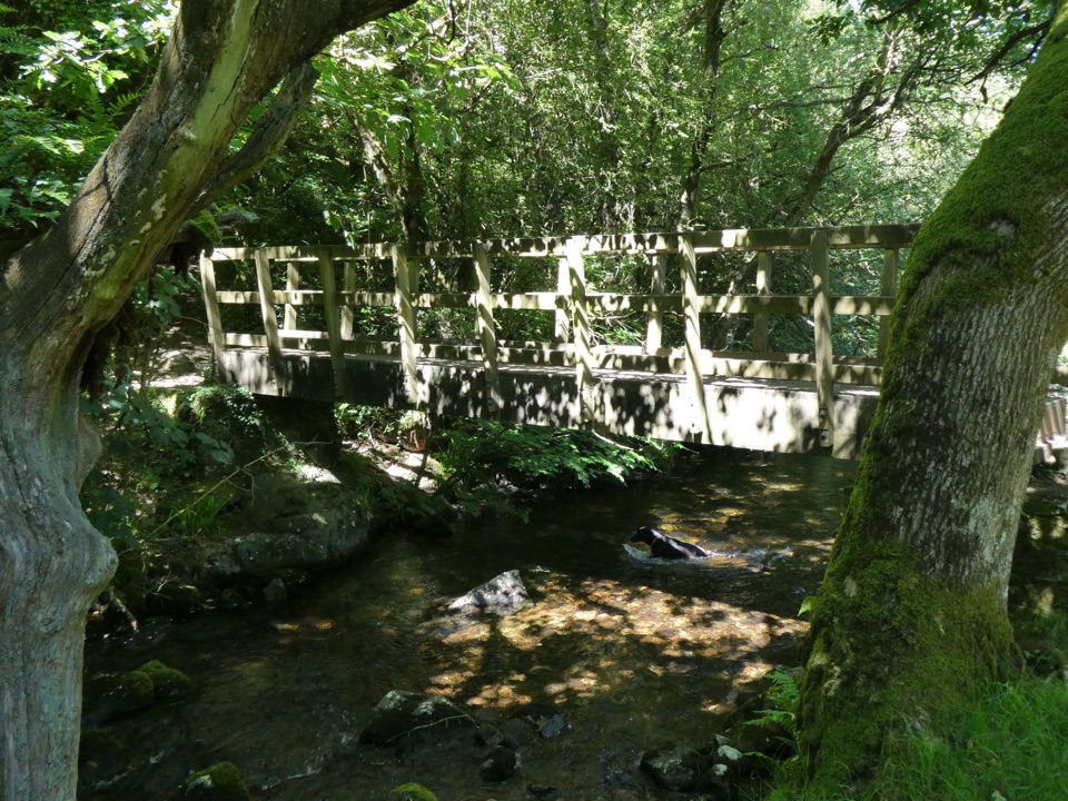 ModerateBelstone and Sticklepath Circular6.8 km · 2.5 hr · 0.2 km awayA river crossing and open moor views between two villages.
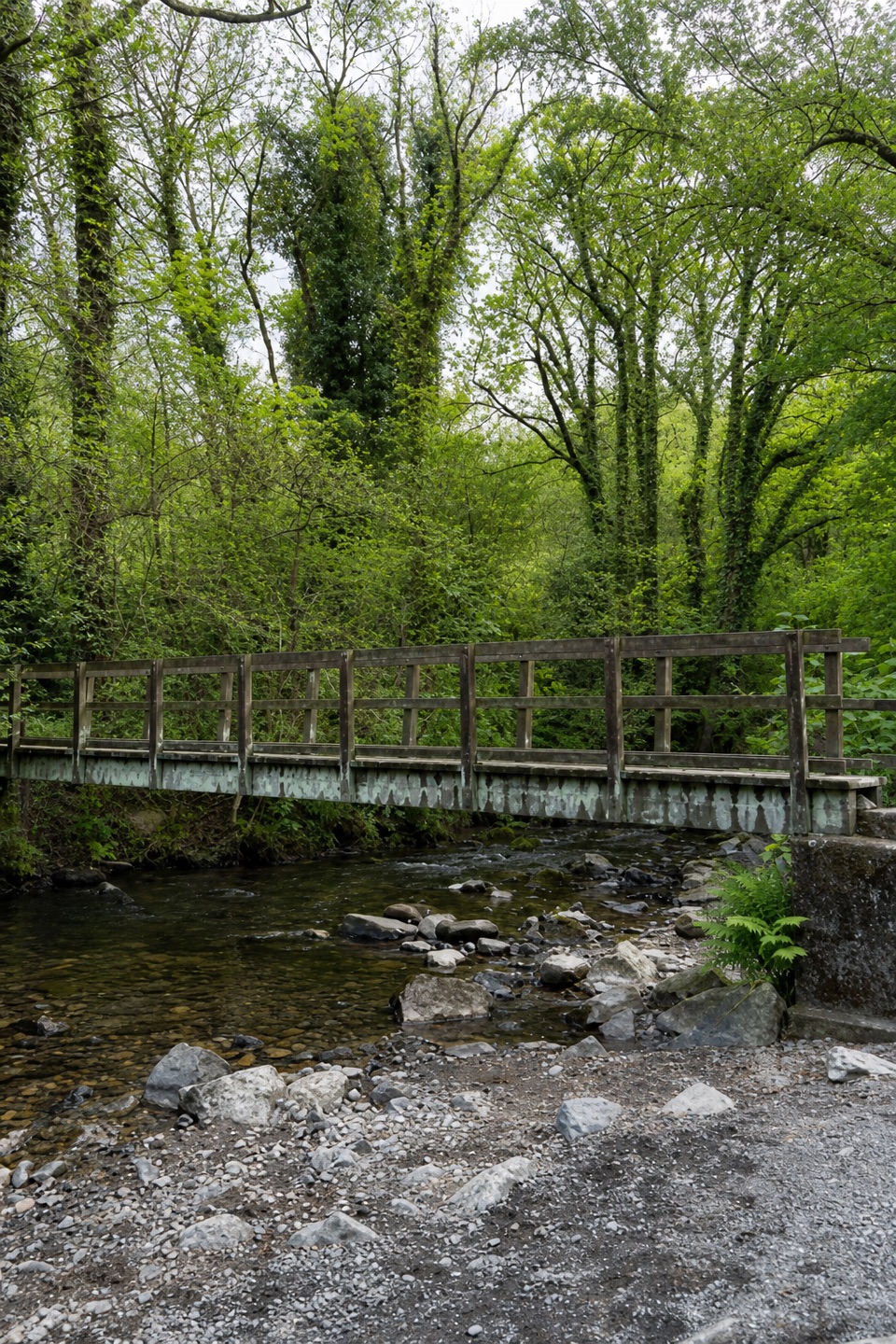 EasyWalk in the Footsteps of Tom Pearse2.7 km · 1 hr · 0.2 km awayA short riverside circuit past the leat, weir and Ladywell.
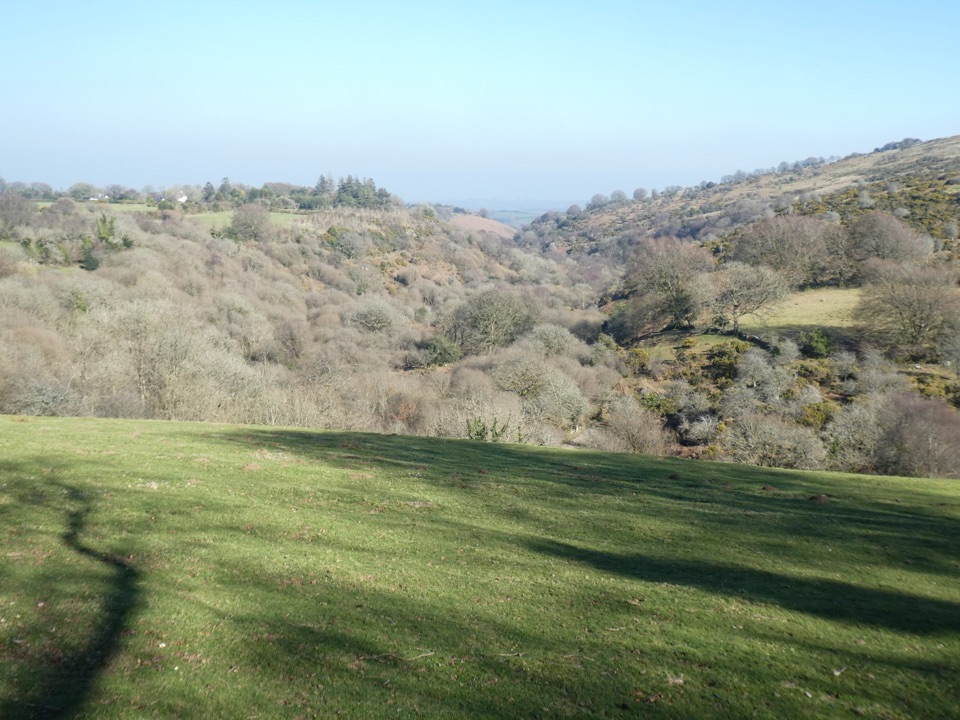 ModerateFour Villages Walk10.5 km · 3.8 hr · 1 km awayFour villages, a riverside cleave and a historic foundry
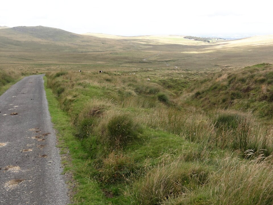 ModerateOkehampton Military Ring Road Walk10 km · 3 hr · 5 km awayA rough, open moorland circuit with a real ford crossing.
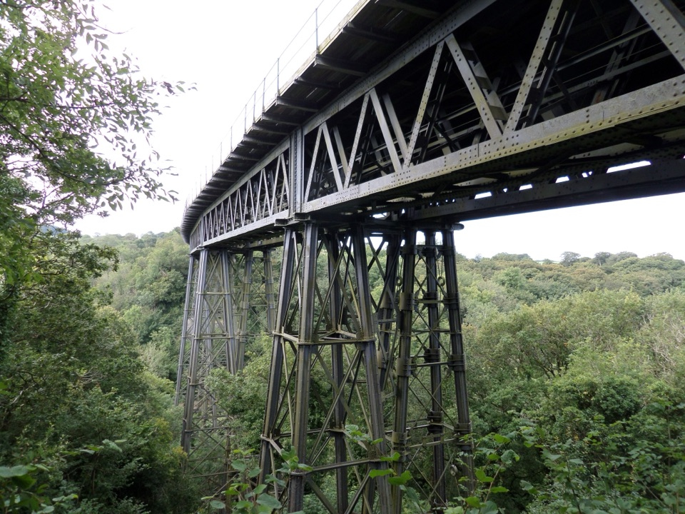 ModerateThe Granite Way17.7 km · 4.5 hr · 5.4 km awayA long rail trail to Lydford, crossing two Dartmoor viaducts.
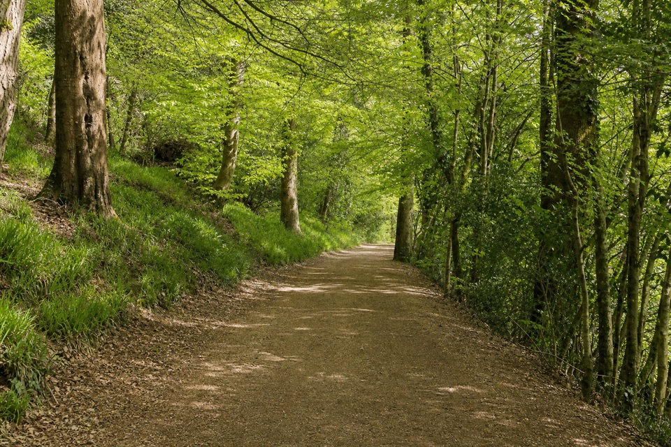 ChallengingWest Devon Way59.5 km · 15.5 hr · 5.7 km awayMoorland tors give way to river valleys on this 37-mile crossing.
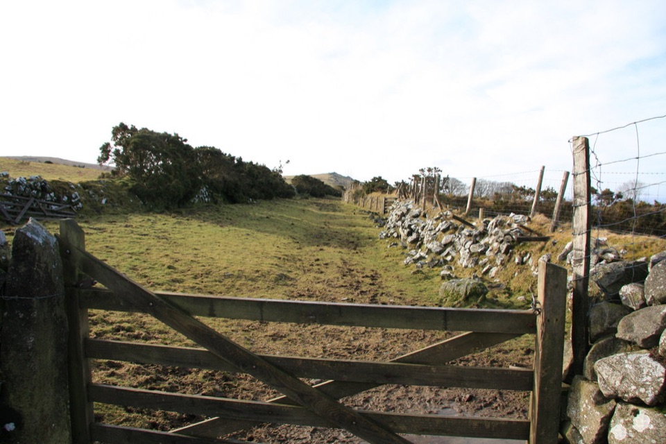 ChallengingTwo Castles Trail38.6 km · 10.5 hr · 5.7 km awayTwo castles linked by a long walk through changing country.
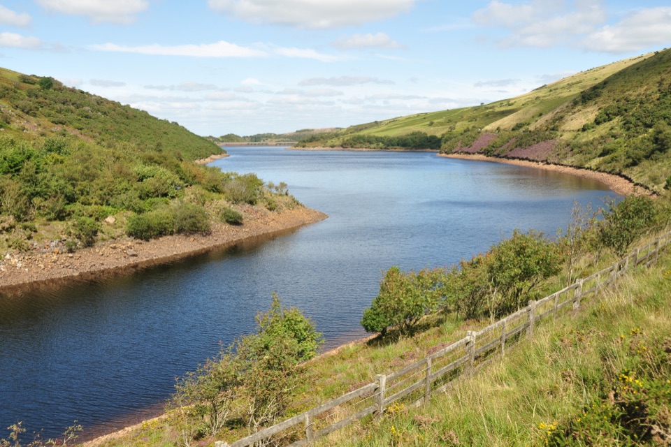 ModerateMeldon Reservoir and Black Tor Walk7.4 km · 3 hr · 8.5 km awayReservoir shores lead to a rough climb above the West Okement.
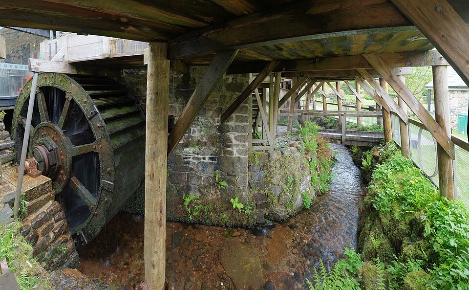 Sight · 0.2 km awayFinch FoundryHear the hammers as three waterwheels drive a working forge.
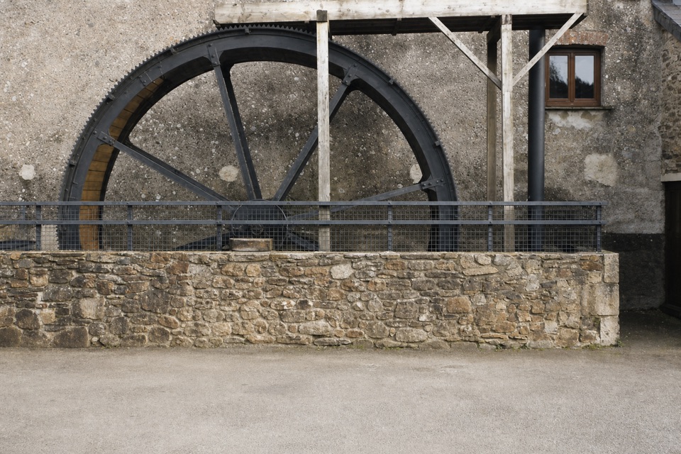 Sight · 5.7 km awayMuseum of Dartmoor LifeThree floors of Dartmoor stories, from prehistory to working life.
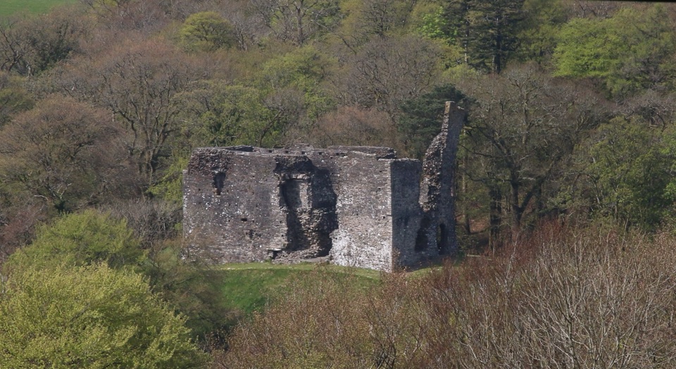 Sight · 6 km awayOkehampton CastleClimb a medieval keep for views over ruins, town and countryside.
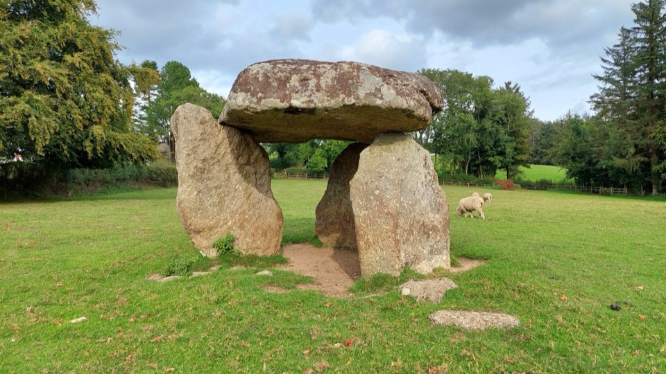 Sight · 6.6 km awaySpinster’s RockA massive capstone balanced above three Neolithic uprights.
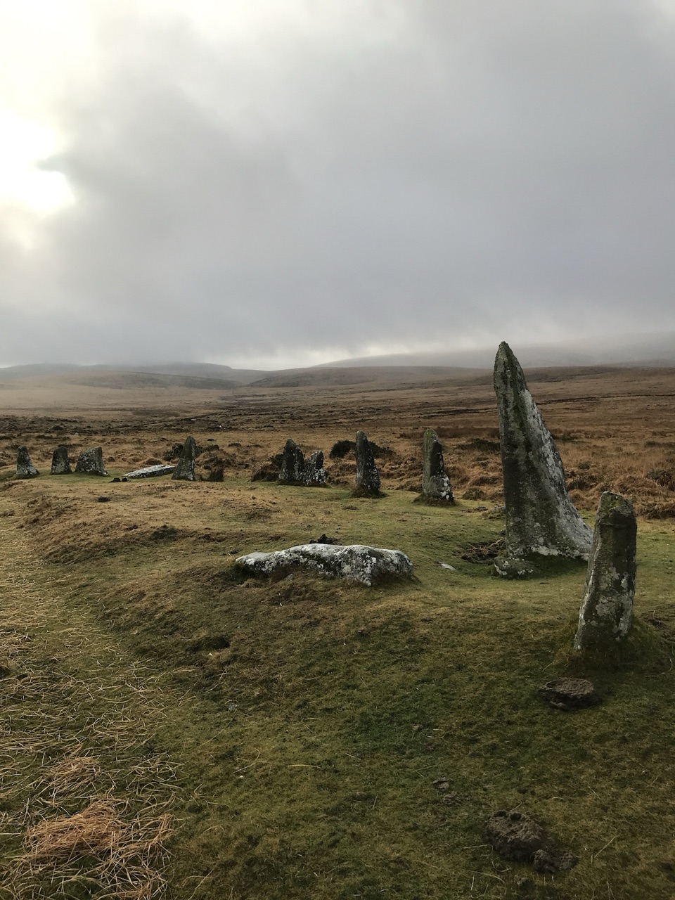 Sight · 6.7 km awayScorhill Stone CircleA wide, unrestored granite ring above the North Teign.
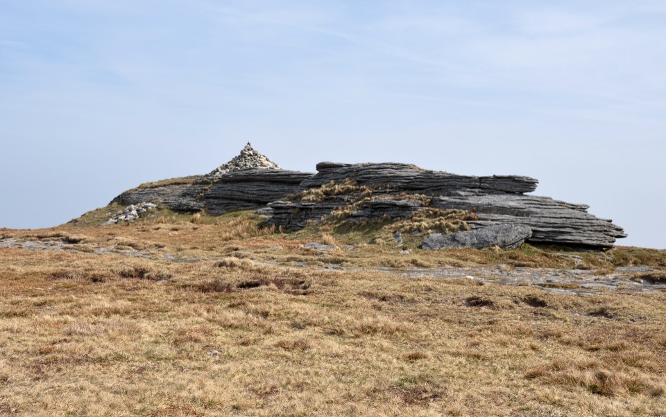 Sight · 7.9 km awayHigh WillhaysSouthern England’s highest point, with rugged views from an open summit.
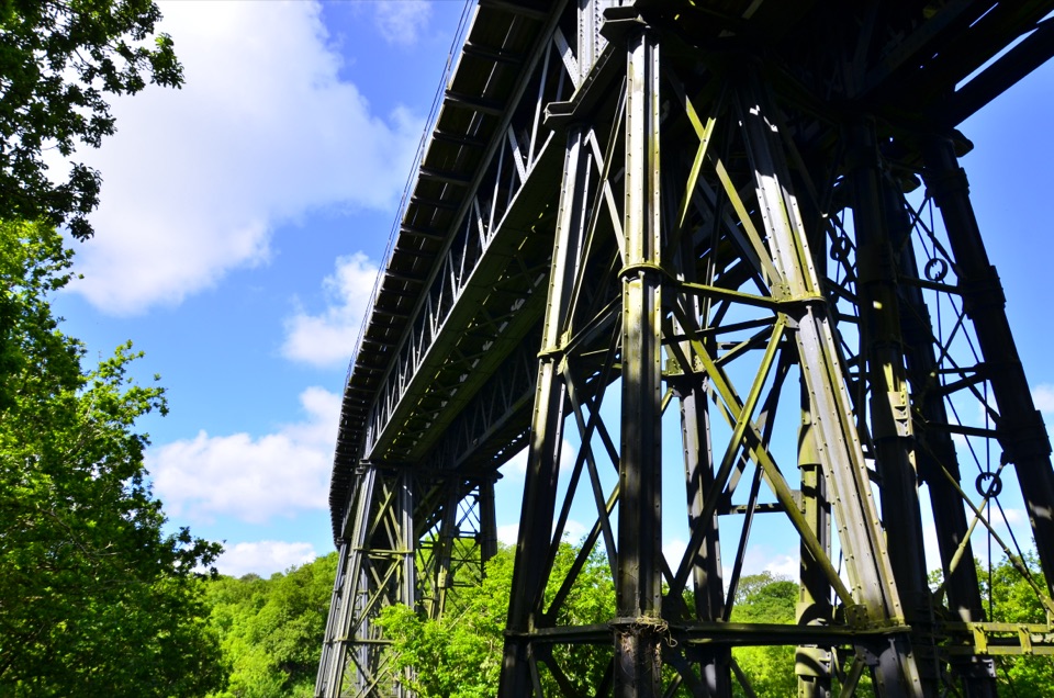 Sight · 8 km awayMeldon ViaductA Victorian iron crossing above the West Okement valleySight · 8.4 km awayMeldon ReservoirWalk the dam, then branch onto moorland and viaduct paths.
Parkwolf’s Dartmoor ranking

The audio tour guide for the drive, plus offline maps, trails, and wildlife heatmaps for when the signal drops.





