Best time to visit
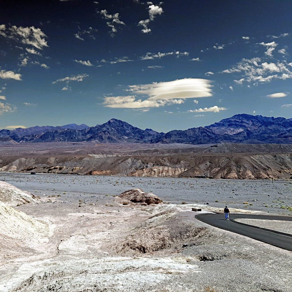
Go early in the morning for cooler temperatures and the best light on the canyon walls. You’ll also beat the heavier day-use traffic. Cooler seasons make the hike far more comfortable than summer.

Sight · Death Valley National Park
Polished marble narrows and mosaic walls with fun canyon scrambles
Overview
Mosaic Canyon is Death Valley’s geology museum on foot: a 4-mile out-and-back through polished marble narrows and colorful mosaic breccia that keeps the scenery changing. It’s rated moderate to difficult thanks to elevation gain (about 1,200 feet) and sections where you’ll use your hands.
Two signatures set this canyon apart: the glassy marble constrictions and the namesake mosaic breccia—angular rock fragments cemented together into eye-catching patterns. The density of photogenic geology in such a short hike is why this trail is consistently praised as a park favorite.
 Parkwolf’s verdictWhat makes it special
Map
Local know-how
Start at sunrise or early morning for cooler temps and the best light.
Bring plenty of water; there’s no shade or water on the route.
Drive slowly; the unpaved access road is rough and large RVs aren’t recommended.
Wear sticky-soled shoes—the polished marble can be slick.
If you hit an impassable dryfall, look for rock arrows marking a bypass.
Plan your stop

The highest, rockiest slopes around here are a summer buffet for grizzly bears.
Death Valley Tour Guide
Parkwolf is a GPS audio tour guide for Death Valley National Park. As you drive, it chimes in with what’s ahead: hidden gems, upcoming stops, history, geology, and wildlife, right through your car’s speakers.
See the Death Valley audio tourRecorded for this area
Mosaic Canyon: A Hike Through Polished Marble“The turnoff ahead leads to Mosaic Canyon. The canyon gets its name from 'mosaic breccia,' a type of rock that looks like colorful, broken fragments have been naturally cemented together.”
Plays on the road 0.5 mi from Mosaic Canyon in the Parkwolf Death Valley Tour Guide.
More stories near here in the app
“Fantastic app with many points of information… It’s great to just turn on while you’re driving and it gives you an audio tour of the national Park. We love it!!!!”


Guide
Right from the mouth of the canyon, the walls pinch into smooth, winding narrows sculpted by debris-laden floods. You’ll weave between broad sandy washes and tighter corridors, encounter boulder jams and dryfalls, and—unless you’re a confident scrambler—turn around at a roughly 25-foot impassable dryfall that ends the route for most hikers. Expect slick rock in the narrows and a few short, engaging scrambles.
This is a classic desert canyon—fully exposed, extremely hot in warm months, and subject to flash flooding. Do not enter if rain is forecast anywhere in the region. The polished marble can be slick; sturdy, grippy footwear is a must. Pets aren’t allowed on the trail (even if carried).
Wildlife isn’t a primary draw here; reports focus on the geology and hiking experience, with no consistent, notable sightings specific to this canyon.
Wildlife
 71 sightingsBighorn SheepMost seen around 6 PMSighting map
 101 sightingsDesert TortoiseMost seen around 8 AMSighting map
 458 sightingsCoyoteMost seen around 6 PMSighting map
 28 sightingsFeral BurroMost seen around 5 PMSighting map
 30 sightingsMule DeerMost seen around 7 PMSighting map
 62 sightingsKit FoxMost seen around 7 PMSighting map
Sighting maps show where each species has been reported across Death Valley. Wildlife moves, so no sighting is guaranteed.
Keep exploring
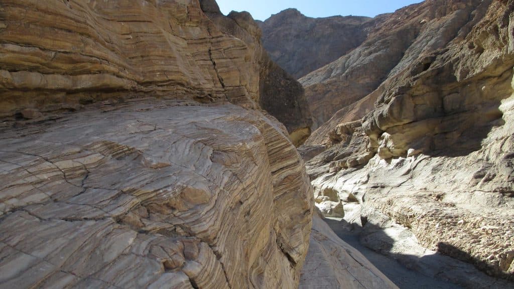 ModerateMosaic Canyon4 mi · 2.8 hr · 0.5 mi awayA full out-and-back through polished marble narrows, Mosaic Breccia, and dryfall terrain
 ChallengingTucki Mountain via Mosaic Canyon12.3 mi · 12 hr · 0.5 mi awayExpert cross-country summit route through Mosaic Canyon with 6,100 feet of gain and broad Death Valley views
 ChallengingGrotto Canyon3.4 mi · 4.5 hr · 2.2 mi awayUnmarked desert-canyon scramble through polished narrows to a high chokestone
 EasyMesquite Flat Sand Dunes2 mi · 1.5 hr · 2.9 mi awayCross-country dunes to Death Valley’s tallest dune, with wide-open sunrise and sunset views.
 Sight · 1.9 mi awayGrotto CanyonSculpted slot narrows and serious scrambles with big solitude
 Lodging · 2.6 mi awayStovepipe Wells HotelFull‑service desert base with rooms, pool, fuel, and dunes next door
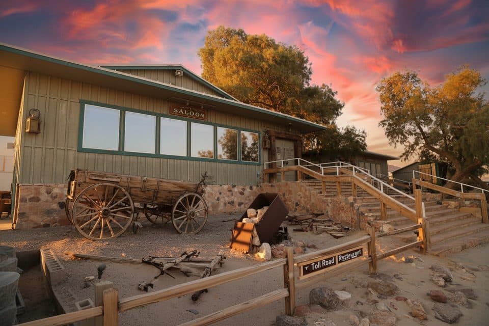 Restaurant · 2.7 mi awayToll Road RestaurantSit-down comfort food with a local twist at Stovepipe Wells
 Restaurant · 2.7 mi awayBadwater SaloonCold drinks and hearty bites at Stovepipe Wells desert saloon
 2.7 mi awayStovepipe WellsSmall desert hub steps from Mesquite Flat Sand Dunes
 Historic marker · 2.7 mi awayBurnt WagonsGold Rush story plaque in the heart of Stovepipe Wells
 Store · 2.7 mi awayStovepipe Wells General StoreDesert outpost for fuel, snacks, and supplies right by the dunes
 Gas station · 2.7 mi awayStovepipe Wells Gas Station24/7 fuel and supplies hub between dunes and mountains
Parkwolf’s Death Valley ranking
The audio tour guide for the drive, plus offline maps, trails, and wildlife heatmaps for when the signal drops.