Natural Bridge in Death Valley National Park

Sight · Death Valley National Park

Natural Bridge

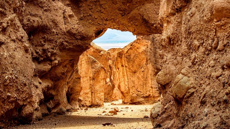
Walk beneath a jagged, 35-foot-high rock bridge.

Photo: NPS/Jason Gray

Type
Sight
Nearest trail
0.3 mi
Audio stories
3 nearby
  • Parking
  • Restrooms
  • Trailhead
  • Scenic viewpoint
  • #14 of 46 sights

Hear the audio tour

Natural Bridge: The Shorter Canyon Walk
Download Parkwolf on the App StoreGet Parkwolf on Google Play

4.7 from 8,600+ ratings

Overview

About Natural Bridge

Why stop

  • A short walk reaches an unusual alluvial rock bridge.
  • The canyon continues to a dry waterfall and chutes.

Heads up

  • Very rocky walking on a wash with no built trail.
  • The unpaved access road can develop deep ruts.

Map

Where it is

Loading the Death Valley map
Full map
SightNatural Bridge36.28486, -116.76576
Keep this map with you offline in the Parkwolf app

Plan your stop

Before you go

4 active Death Valley alerts

  • ClosureRoad closures and hazardous conditionsSeveral park roads are closed or hazardous; follow closures and vehicle restrictions.Official details
  • ClosureSaline Valley Lower Springs closed after wildfireLower Springs pools at Saline Valley Warm Springs remain closed because the September 15 wildfire left safety hazards, including potential hazardous chemicals; do not enter the closed area.Official details

See all 4 alerts
A park ranger sits on a dash-mounted phone, talking, as Parkwolf’s Tour Guide plays “Army Cutworm Moths: A Grizzly Bear Buffet” on Grand Loop Road below Dunraven Pass in Yellowstone
Parkwolf Tour GuideThe highest, rockiest slopes around here are a summer buffet for grizzly bears.

Death Valley Tour Guide

Your drive to Natural Bridge, narrated.

Parkwolf is a GPS audio tour guide for Death Valley National Park. As you drive, it chimes in with what’s ahead: hidden gems, upcoming stops, history, geology, and wildlife, right through your car’s speakers.

See the Death Valley audio tour

Recorded for this place

Natural Bridge: The Shorter Canyon Walk
0:00 / 0:23
“Natural Bridge's trailhead is ahead, with a rocky canyon walk to a thick stone span made of cemented pebbles.”

Plays as you drive up to Natural Bridge in the Parkwolf Death Valley Tour Guide.

More stories near here in the app

  • How Pebbles Lose Their Corners
  • The Baby Gauge Ore Trains
  • The Owl's Beetle Bait
  • The Kangaroo Rat's Midair Kick
  • 228 audio storiesacross Death Valley’s roads, triggered by GPS as you drive
  • Wildlife heatmapsfor Bighorn Sheep, Desert Tortoise, Coyote, and 13 more
  • Works offlinemaps, 57 trails, 81 places, and audio download before you lose signal
  • CarPlay readysimple controls built for the drive
★★★★★
“Fantastic app with many points of information… It’s great to just turn on while you’re driving and it gives you an audio tour of the national Park. We love it!!!!”
JMJamesApp Store review
Download Parkwolf on the App StoreGet Parkwolf on Google Play

4.7 from 8,600+ ratings

Guide

More about Natural Bridge

A short walk to a rough rock spanNatural Bridge is a jagged rock span in a narrow Death Valley canyon, about 35 feet high and 35…

Natural Bridge is a jagged rock span in a narrow Death Valley canyon, about 35 feet high and 35 feet thick. It’s a worthwhile short geology stop if you’re driving Badwater Road. The out-and-back is listed as one mile, about 45 minutes with 86 feet of climbing. There’s no built trail: follow the wash from the parking area and expect very rocky footing.

Keep going past the spanThe canyon continues a short way beyond the bridge to a dry waterfall, vertical chutes, and…

The canyon continues a short way beyond the bridge to a dry waterfall, vertical chutes, and hanging canyons. I’d walk past the arch if you want more than a quick look at the formation. From the wash below, frame the bridge against the canyon opening; the floor and walls help show the span’s size.

Plan the driveThe trailhead is at the end of unpaved Natural Bridge Road, 13.

The trailhead is at the end of unpaved Natural Bridge Road, 13.5 miles south of CA-190 off Badwater Road. The road is usually passable for most vehicles, but washouts and deep ruts can occur, so check with a ranger before driving in. In summer, the park advises against hiking after 10 a.m. There’s an open dirt lot and a vault toilet; no food or potable water is listed at the trailhead. Pets aren’t allowed on park trails, even when carried.

How floods made the bridgeThe span is an alluvial deposit: rock, gravel, and sediment washed down from an ancient…

The span is an alluvial deposit: rock, gravel, and sediment washed down from an ancient mountain and cemented together. It formed as infrequent flash floods cut the canyon over thousands of years. Water once ran just north of the bridge and lowered the canyon floor above it. When the flow returned to its straighter course, it wore a hole beneath the span and cut the floor lower, leaving the bridge high above the wash.

Wildlife

Wildlife in Death Valley

All Death Valley wildlife maps

Sighting maps show where each species has been reported across Death Valley. Wildlife moves, so no sighting is guaranteed.

Parkwolf’s Death Valley ranking

Top sights in Death Valley

All 81 places
  1. 1Badwater BasinSight
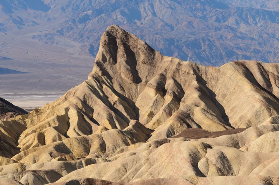
  2. 2Zabriskie PointSight
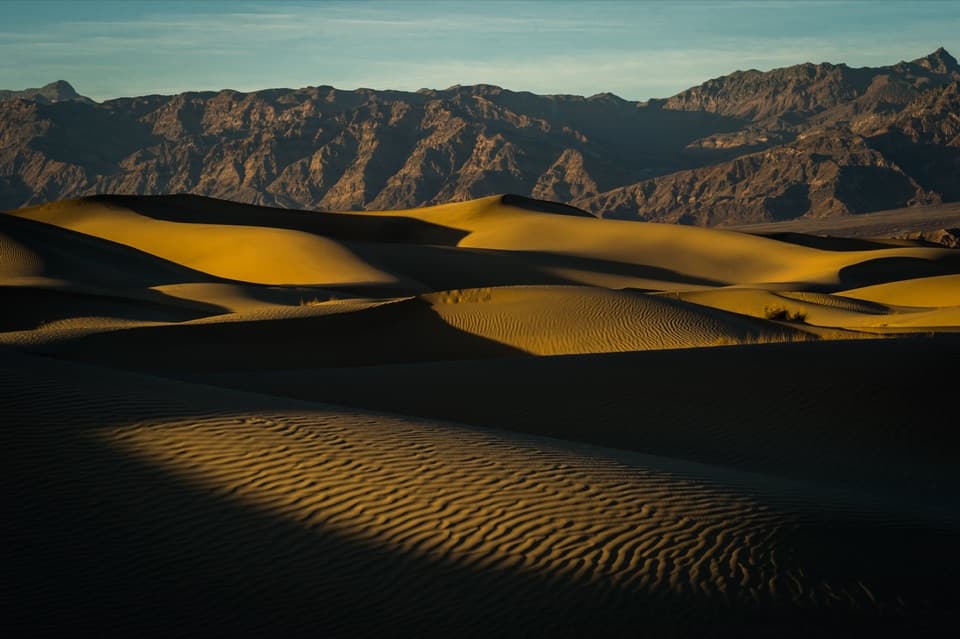
  3. 3Mesquite Flat Sand DunesSight
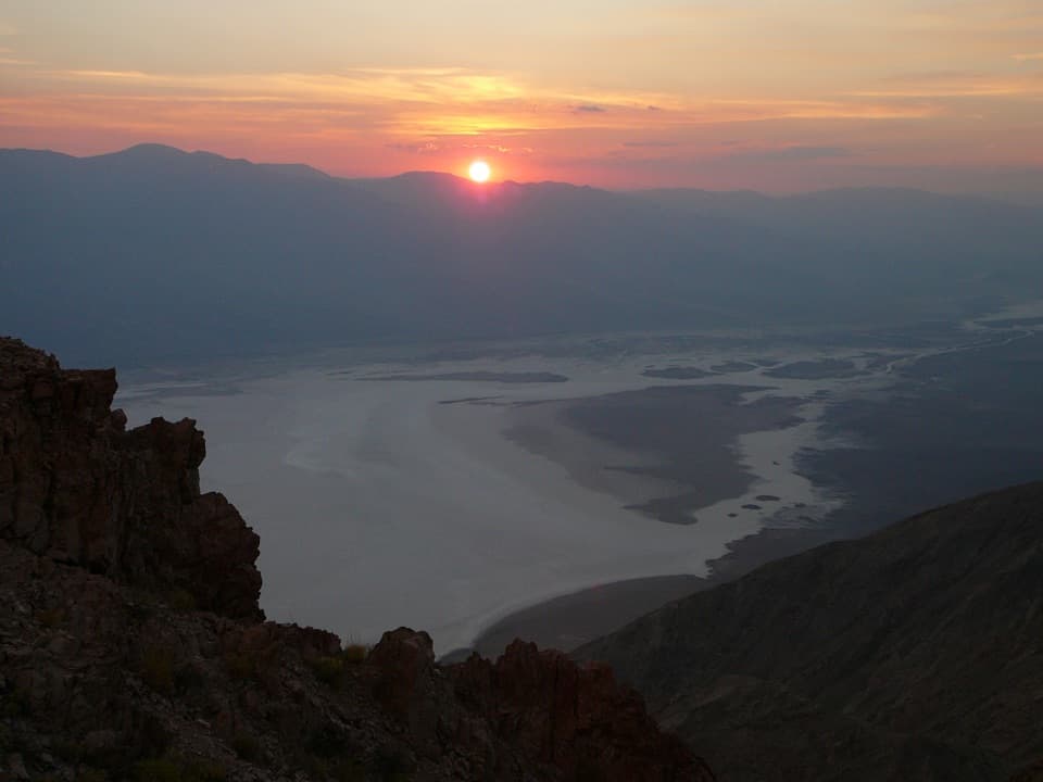
  4. 4Dantes ViewSight
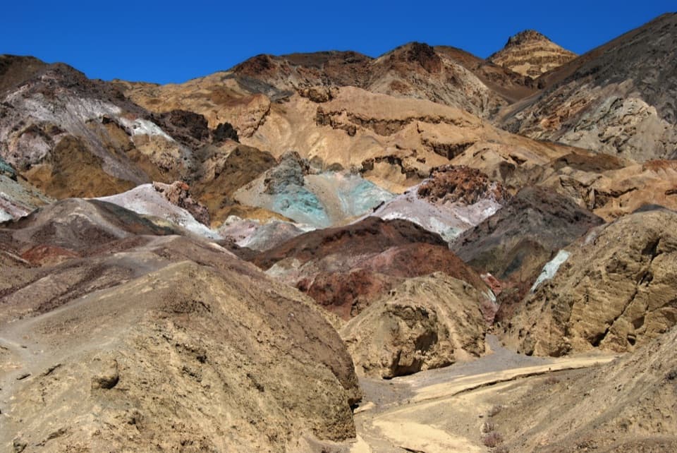
  5. 5Artists PaletteSight
  6. 6Ubehebe CraterSight

Take Parkwolf to Death Valley.

The audio tour guide for the drive, plus offline maps, trails, and wildlife heatmaps for when the signal drops.

4.7 from 8,600+ ratings

Download Parkwolf on the App StoreGet Parkwolf on Google Play