Parking
Start from the paved Dantes View parking lot at the end of Dantes View Road. A vault toilet is in a pullout shortly before the lot.
Death Valley National Park, CA · NV
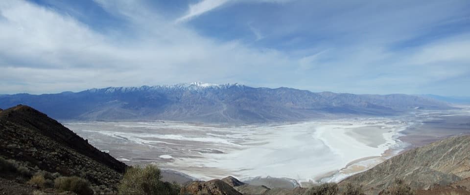
A rocky ridge walk to a quiet summit above Badwater.
Photo: Scott Catron / Wikimedia Commons, CC BY-SA 4.0. no other changes
Overview
Map & elevation
Plan your hike

The highest, rockiest slopes around here are a summer buffet for grizzly bears.
Death Valley Tour Guide
Parkwolf is a GPS audio tour guide for Death Valley National Park. As you drive, it chimes in with what’s ahead: hidden gems, upcoming stops, history, geology, and wildlife, right through your car’s speakers.
See the Death Valley audio tourRecorded for this trailhead
Dantes View: Above the Basin“Up ahead is Dantes View, where you can look down over Badwater's white salt flats and across to Telescope Peak. This is a stop for the whole valley's scale, and you don't need a summit hike to get the view.”
Plays as you drive up to this trailhead in the Parkwolf Death Valley Tour Guide.
More stories near here in the app
“Fantastic app with many points of information… It’s great to just turn on while you’re driving and it gives you an audio tour of the national Park. We love it!!!!”


Trail guide
Dante Peak is an unmarked out-and-back from Dantes View parking, about 0.9 mile round trip and roughly 45 minutes. It climbs a low ridge to two small summit knobs and a rocky rim above Badwater Basin. Published mileage varies: an overview gives 0.7 mile, while its GPS waypoint table totals 0.92 mile, so plan for the longer figure. This is the short peak walk, not the much longer Dante’s Ridge route to Mount Perry.
The route first follows the road edge, then climbs loose cobbles at the ridge toe. That opening pitch is the roughest footing; it soon eases into a traverse below pale-brown volcanic-ash cliffs dotted with coarse cobbles. At the fork, the western branch reaches a rocky promontory with a view; from there the track rises northeast to a saddle and follows the ridge’s east side to the peak. The other branch climbs more steeply. The path is unmarked, so use the promontory, saddle and summit knobs as landmarks and retrace the route back to the lot.
The top has two small knobs nearly level with each other. The western one carries the “Dante” benchmark and is slightly higher; the second marker points back toward it. Both knobs sit about 50 feet back from the cliff edge. Walk carefully to the rocky outcrop for the full view: Badwater and the parking lot lie below, with Telescope Peak and the Panamint Range beyond. The white basin and dark mountain ridges make a strong composition from the rim.
The pale cliffs are described as volcanic ash, possibly from a pyroclastic flow, with larger cobbles mixed through them. Near the summit, Nevada jointfir (Mormon tea) is especially noticeable among turpentine broom, California buckwheat, bunchgrasses, desert globemallow and cholla. The summit has denser, more varied vegetation than the lower slopes, and creosote is absent there.
The paved Dantes View lot is at the end of Dantes View Road. A vault toilet is in a roadside pullout shortly before the lot; food and water on the hike were not found. The trail starts around 5,385 feet and reaches about 5,645 feet. Pets are prohibited on park trails, including when carried.
Wildlife
 72 sightingsBighorn SheepMost seen around 6 PMSighting map
 101 sightingsDesert TortoiseMost seen around 8 AMSighting map
 466 sightingsCoyoteMost seen around 6 PMSighting map
 29 sightingsFeral BurroMost seen around 5 PMSighting map
 30 sightingsMule DeerMost seen around 7 PMSighting map
 65 sightingsKit FoxMost seen around 7 PMSighting map
Sighting maps show where each species has been reported across Death Valley. Wildlife moves, so no sighting is guaranteed.
Keep exploring
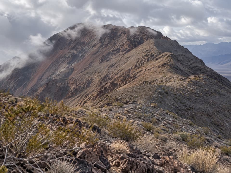 ChallengingDantes Ridge to Mount Perry9 mi · 5 hr · At the trailheadA long, exposed ridge walk to the peak above Badwater Basin.
 EasyBadwater Salt Flat1.9 mi · 1.3 hr · 2.4 mi awayWalk out to Badwater’s salt polygons below sea level.
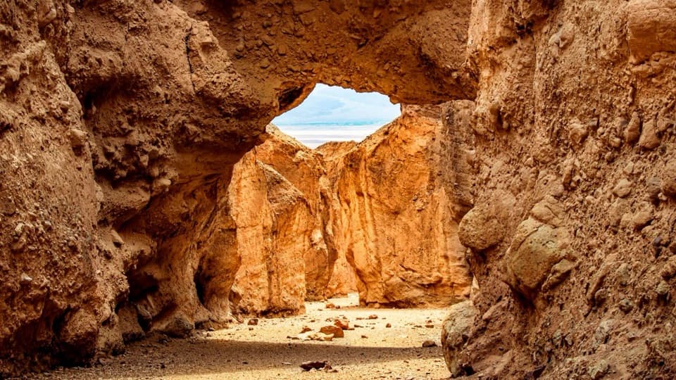 ModerateNatural Bridge Trail1.4 mi · 1.5 hr · 4.8 mi awayWalk under a natural bridge, then follow the canyon to its dryfall.
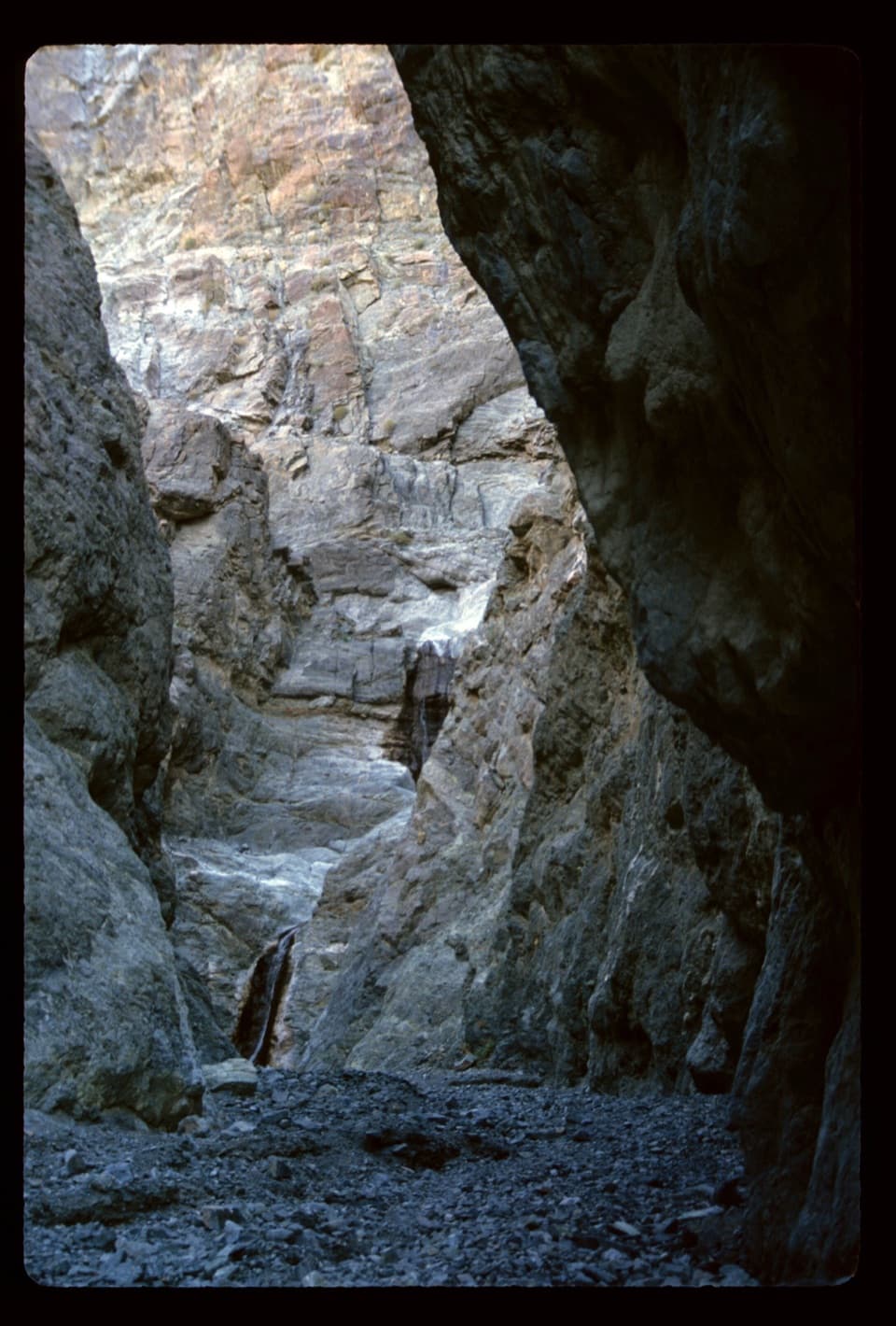 ModerateWillow Canyon4.2 mi · 2.5 hr · 10.8 mi awayAn unmarked cross-country walk to a seasonal waterfall
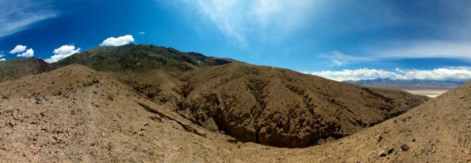 ChallengingSidewinder Canyon5 mi · 6 hr · 10.8 mi awayThree tight slots, rough scrambling, and no trail to follow.
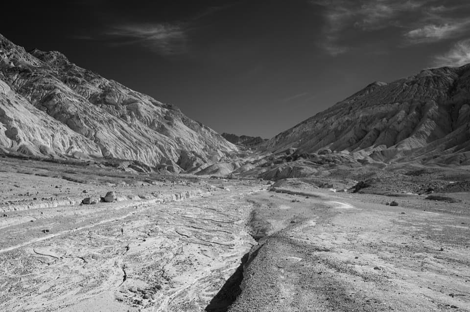 ChallengingDesolation Canyon3.6 mi · 2.5 hr · 13.6 mi awayCanyon narrows lead to a high view over Artist Drive.
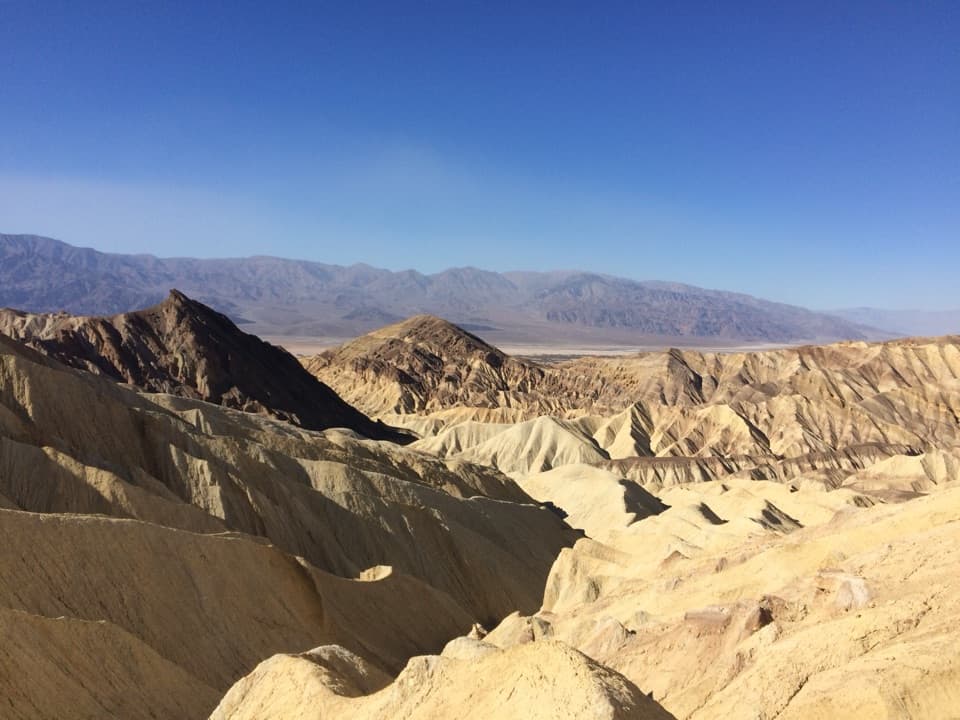 ModerateBadlands Loop2.7 mi · 1.8 hr · 14.6 mi awayA 2.7-mile loop through colorful badlands below Zabriskie Point.
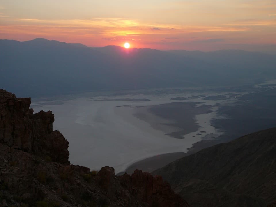 Sight · At the trailheadDantes ViewA high perch for salt flats and far-off mountain ranges.
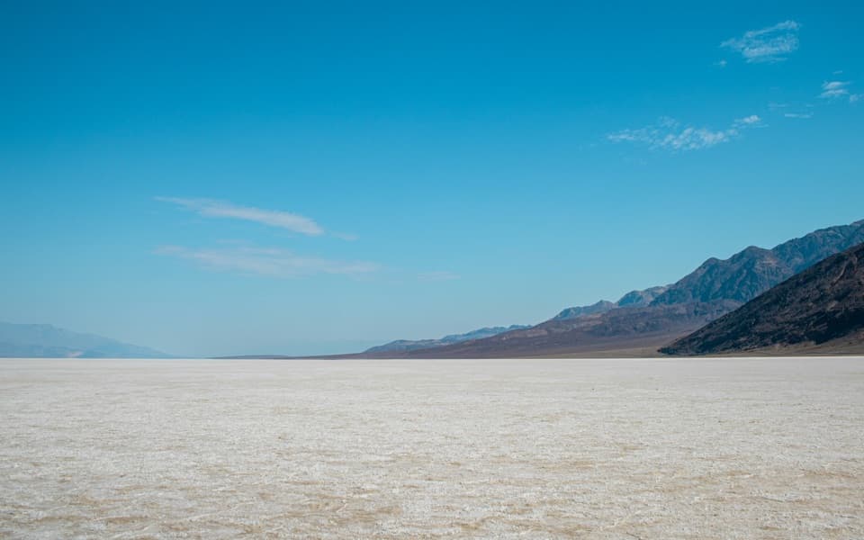 Sight · 2.4 mi awayBadwater BasinStep onto salt flats 282 feet below sea level.Sight · 4.9 mi awayNatural BridgeWalk beneath a jagged, 35-foot-high rock bridge.
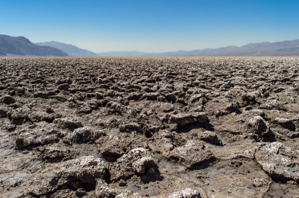 Sight · 7.2 mi awayDevils Golf CourseA vast salt pan sculpted into a field of jagged spires.
Parkwolf’s Death Valley ranking

The audio tour guide for the drive, plus offline maps, trails, and wildlife heatmaps for when the signal drops.



