Parking
Use the paved Dantes View lot and start at its north end. Vehicles over 25 feet are not allowed. The nearest vault toilet is at the pullout just before the lot; there are no restrooms along the route.
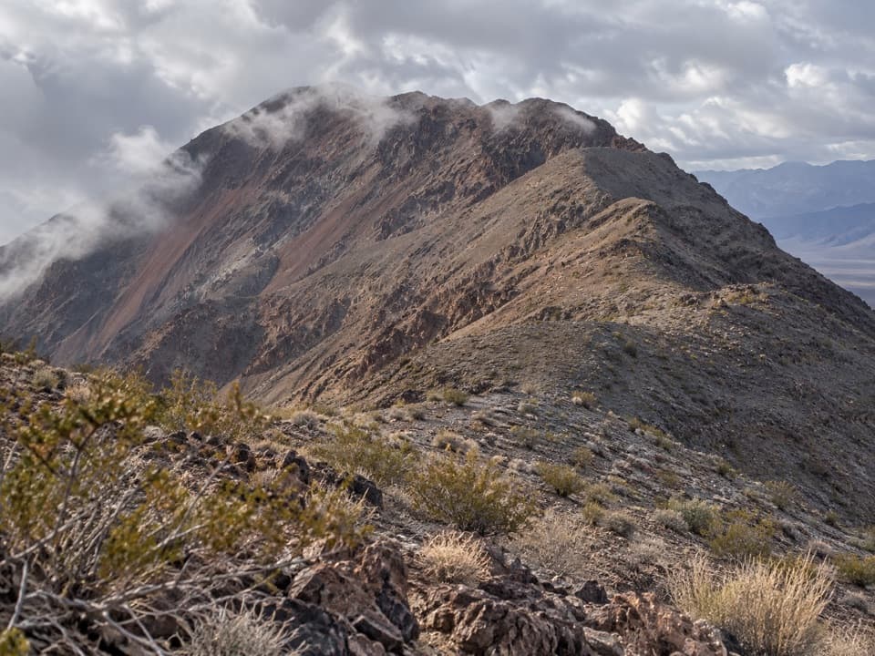
#7 of 57 trails in Death Valley
Death Valley National Park, CA · NV
A long, exposed ridge walk to the peak above Badwater Basin.
Overview
From a safe spot on the established ridge, include a stretch of crest in the foreground with Badwater Basin beyond it. The foreground gives a phone photo the drop and length that a frame of distant mountains alone misses.
 Parkwolf’s verdictA view worth framing
Map & elevation
Plan your hike

The highest, rockiest slopes around here are a summer buffet for grizzly bears.
Death Valley Tour Guide
Parkwolf is a GPS audio tour guide for Death Valley National Park. As you drive, it chimes in with what’s ahead: hidden gems, upcoming stops, history, geology, and wildlife, right through your car’s speakers.
See the Death Valley audio tourRecorded for this trailhead
Dantes View: Above the Basin“Up ahead is Dantes View, where you can look down over Badwater's white salt flats and across to Telescope Peak. This is a stop for the whole valley's scale, and you don't need a summit hike to get the view.”
Plays as you drive up to this trailhead in the Parkwolf Death Valley Tour Guide.
More stories near here in the app
“Fantastic app with many points of information… It’s great to just turn on while you’re driving and it gives you an audio tour of the national Park. We love it!!!!”


Trail guide
Dantes Ridge to Mount Perry is a difficult 9-mile out-and-back from the north end of the Dantes View parking lot to Mount Perry. Plan on 4–6 hours. The mapped corridor runs a little over four miles one way, then returns on the same crest. This is a full ridge hike, not a quick extension of the overlook stop: choose it for a long, open traverse above Death Valley and the summit, knowing that the dips bring more climbing on the way back.
The route starts with a climb over Dante’s View Peak, then heads north along the Black Mountains’ crest toward Mount Perry’s south ridge. The tread is often easy to follow, but in a few places it fades among jumbled rocks. This is an established but unofficial route, not a constructed trail. When the path breaks up, pause and pick out the next visible section of ridge before continuing. The crest stays open, with Badwater Basin below and views along Death Valley toward the Panamint Range and Telescope Peak.
Mount Perry is not the only climb. The ridge has many small rises and descents, and the return is as demanding as the hike out. Reported elevation-gain totals differ because some descriptions count the smaller rises separately; expect repeated climbing rather than one long ascent. Allow the full 4–6 hours, especially if the rocky sections slow your pace or you stop to take in the valley.
Mount Perry is a dark-red ridgeline peak around 5,700 feet above sea level. From it, look down over Badwater Basin and along Death Valley toward the Panamint Range, including Telescope Peak. The Black Mountains form the valley’s southeastern wall opposite the Panamints, so the route keeps both ranges in view. The peak is named for John S. Perry, the first foreman of Harmony Borax Works, who designed wagons used by Death Valley’s 20-mule borax teams.
Badwater Basin held Ice Age Lake Manly, which dried about 10,000 years ago. From the ridge, the basin’s broad floor makes that former lake’s scale easier to picture; after heavy rain, water can sometimes pool there again. It is a striking contrast with the high, dry crest you are walking.
The whole crest is treeless and unshaded; summer hiking after 10 a.m. is not recommended. In winter, Mount Perry is much colder than the valley floor, so bring extra layers. Start from the paved Dantes View lot; vehicles over 25 feet are not allowed. The nearest vault toilet is at the pullout immediately before the lot, with no restrooms along the hike. No water source is identified on the ridge, and pets are prohibited on park trails, even if carried.
Wildlife
 72 sightingsBighorn SheepMost seen around 6 PMSighting map
 101 sightingsDesert TortoiseMost seen around 8 AMSighting map
 466 sightingsCoyoteMost seen around 6 PMSighting map
 29 sightingsFeral BurroMost seen around 5 PMSighting map
 30 sightingsMule DeerMost seen around 7 PMSighting map
 65 sightingsKit FoxMost seen around 7 PMSighting map
Sighting maps show where each species has been reported across Death Valley. Wildlife moves, so no sighting is guaranteed.
Keep exploring
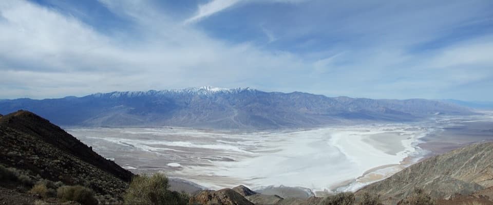 EasyDante Peak Trail0.9 mi · 45 min · At the trailheadA rocky ridge walk to a quiet summit above Badwater.
 EasyBadwater Salt Flat1.9 mi · 1.3 hr · 2.4 mi awayWalk out to Badwater’s salt polygons below sea level.
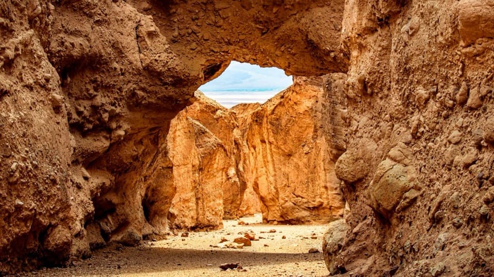 ModerateNatural Bridge Trail1.4 mi · 1.5 hr · 4.8 mi awayWalk under a natural bridge, then follow the canyon to its dryfall.
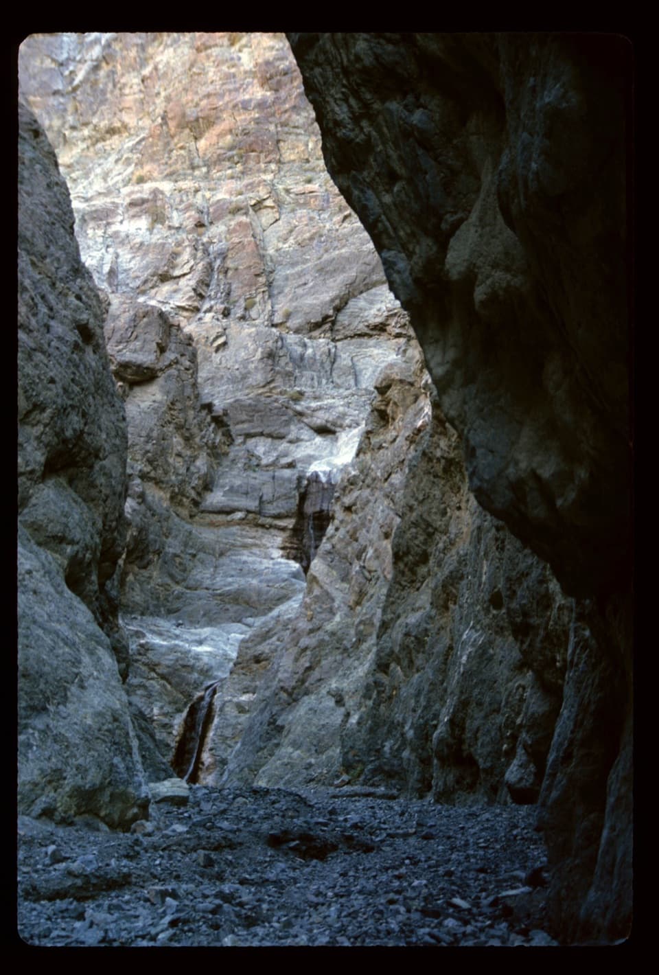 ModerateWillow Canyon4.2 mi · 2.5 hr · 10.8 mi awayAn unmarked cross-country walk to a seasonal waterfall
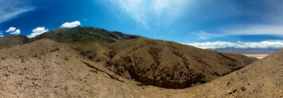 ChallengingSidewinder Canyon5 mi · 6 hr · 10.8 mi awayThree tight slots, rough scrambling, and no trail to follow.
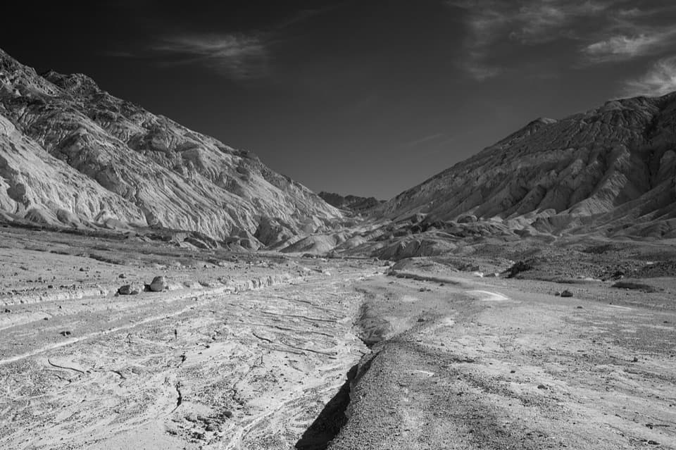 ChallengingDesolation Canyon3.6 mi · 2.5 hr · 13.6 mi awayCanyon narrows lead to a high view over Artist Drive.
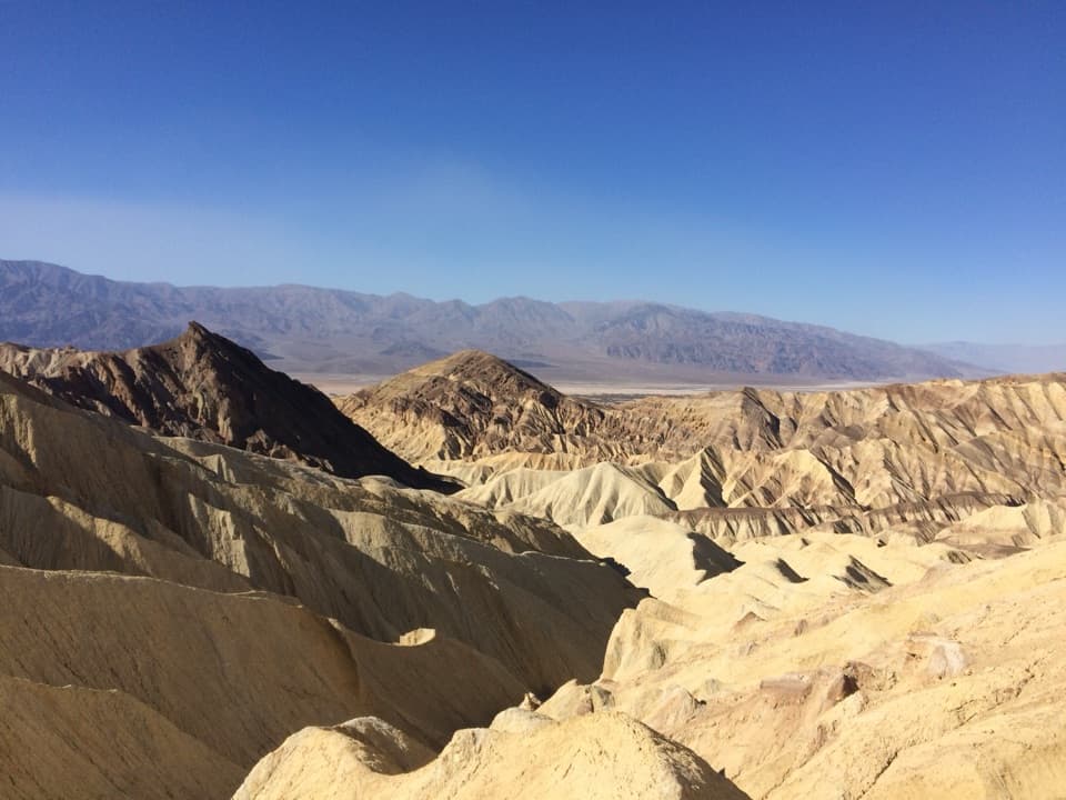 ModerateBadlands Loop2.7 mi · 1.8 hr · 14.6 mi awayA 2.7-mile loop through colorful badlands below Zabriskie Point.
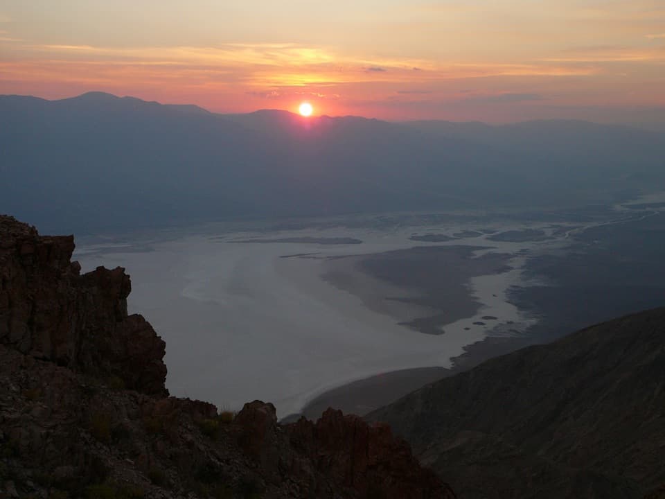 Sight · At the trailheadDantes ViewA high perch for salt flats and far-off mountain ranges.
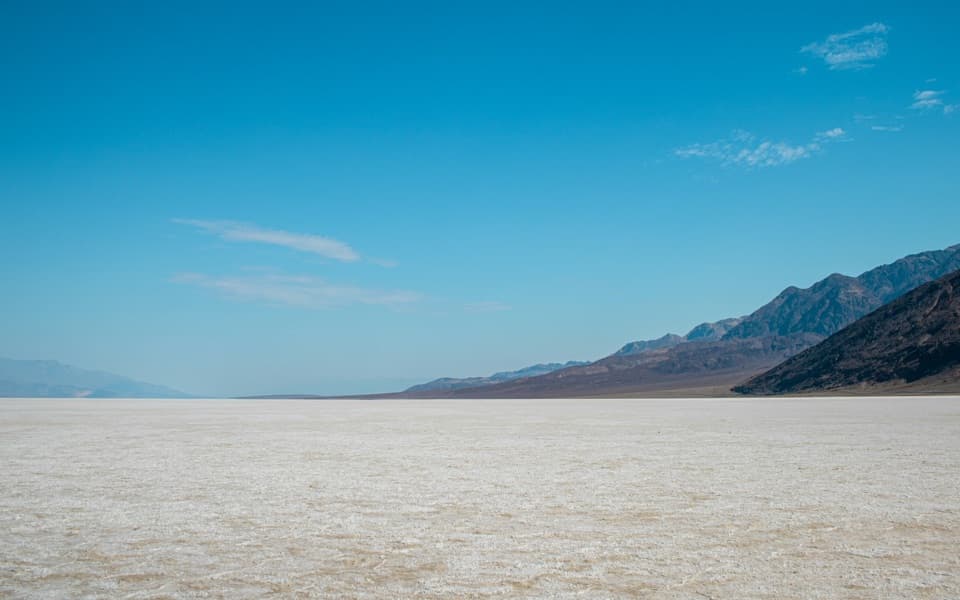 Sight · 2.4 mi awayBadwater BasinStep onto salt flats 282 feet below sea level.Sight · 4.9 mi awayNatural BridgeWalk beneath a jagged, 35-foot-high rock bridge.
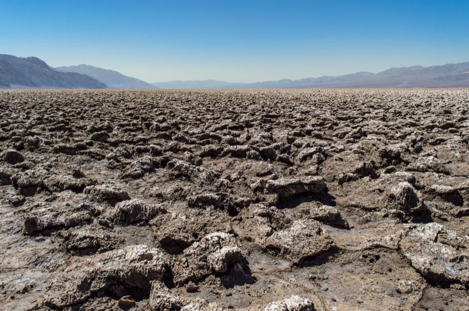 Sight · 7.2 mi awayDevils Golf CourseA vast salt pan sculpted into a field of jagged spires.
Parkwolf’s Death Valley ranking
The audio tour guide for the drive, plus offline maps, trails, and wildlife heatmaps for when the signal drops.



