Parking
Park at the open lot at the end of Natural Bridge Road, 13.5 miles south of CA-190 on Badwater Road. The unpaved road is typically passable to sedans but can be rough and washboarded. The lot fits buses and RVs and has a vault toilet.
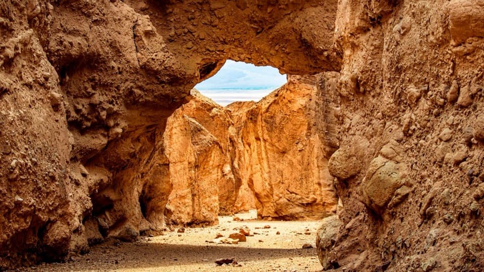
Death Valley National Park, CA · NV
Walk under a natural bridge, then follow the canyon to its dryfall.
Photo: NPS/Jason Gray
Overview
Map & elevation
Plan your hike

The highest, rockiest slopes around here are a summer buffet for grizzly bears.
Death Valley Tour Guide
Parkwolf is a GPS audio tour guide for Death Valley National Park. As you drive, it chimes in with what’s ahead: hidden gems, upcoming stops, history, geology, and wildlife, right through your car’s speakers.
See the Death Valley audio tourRecorded for this trailhead
Natural Bridge: The Shorter Canyon Walk“Natural Bridge's trailhead is ahead, with a rocky canyon walk to a thick stone span made of cemented pebbles.”
Plays as you drive up to this trailhead in the Parkwolf Death Valley Tour Guide.
More stories near here in the app
“Fantastic app with many points of information… It’s great to just turn on while you’re driving and it gives you an audio tour of the national Park. We love it!!!!”


Trail guide
Natural Bridge Trail follows the gravel wash of a side canyon, passes beneath a natural stone bridge, then continues to a dry waterfall at the upper end. The full out-and-back to that dryfall is about 1.4 miles round trip, with roughly 500 feet of vertical rise; allow about 1½ hours. The mapped line is about 0.7 mile one way, and you return through the same canyon. Turn around at the bridge for a shorter visit. The rocky floor makes this feel slower than the mileage suggests.
Official hiking information lists 1 mile, 45 minutes and 86 feet of gain. That figure does not match the full mapped line to the final dryfall. Detailed route descriptions also disagree, ranging from about 0.8 mile one way to that fall to 2 miles round trip. The saved route follows the connected canyon path to the dryfall; the bridge is an earlier turnaround if you want the shorter walk. Expect the full outing to take longer than the short listing suggests.
Start from the information sign and head up the wash. The path is easy to follow, but the surface is very rocky, with loose gravel and pebbles rather than a smooth built trail. The canyon gradually narrows until the natural bridge spans the route. Walk underneath it and look back toward the opening: the arch, canyon walls and pale valley beyond fit into one view.
Beyond the bridge, the route gets rougher. Two small dryfalls interrupt the wash, and a large boulder partly blocks it; there is room to pass beneath the boulder. The canyon ends at a much larger, roughly 20-foot dryfall, the normal turnaround for this hike. Return the same way. The upper part is a meaningful extension of the bridge walk, with more climbing and uneven footing.
The bridge is made of conglomerate, a rock formed from rounded pebbles cemented together, and deep cracks cut across it. Water draining from the side canyons has carved smooth chutes in the walls and the smaller dryfalls in the wash. You can see how quickly the narrow channels funnel runoff, even when the canyon floor is dry. The arch is the obvious landmark; the smaller erosion shapes and boulder passage make the walk beyond it worthwhile for anyone who likes looking closely at desert geology.
For a photo, stand on the canyon floor and frame the bridge opening with the gravel wash leading into it. That shows the span in context and leaves the canyon walls for scale.
Wildlife
 72 sightingsBighorn SheepMost seen around 6 PMSighting map
 101 sightingsDesert TortoiseMost seen around 8 AMSighting map
 466 sightingsCoyoteMost seen around 6 PMSighting map
 29 sightingsFeral BurroMost seen around 5 PMSighting map
 30 sightingsMule DeerMost seen around 7 PMSighting map
 65 sightingsKit FoxMost seen around 7 PMSighting map
Sighting maps show where each species has been reported across Death Valley. Wildlife moves, so no sighting is guaranteed.
Keep exploring
 EasyBadwater Salt Flat1.9 mi · 1.3 hr · 3.6 mi awayWalk out to Badwater’s salt polygons below sea level.
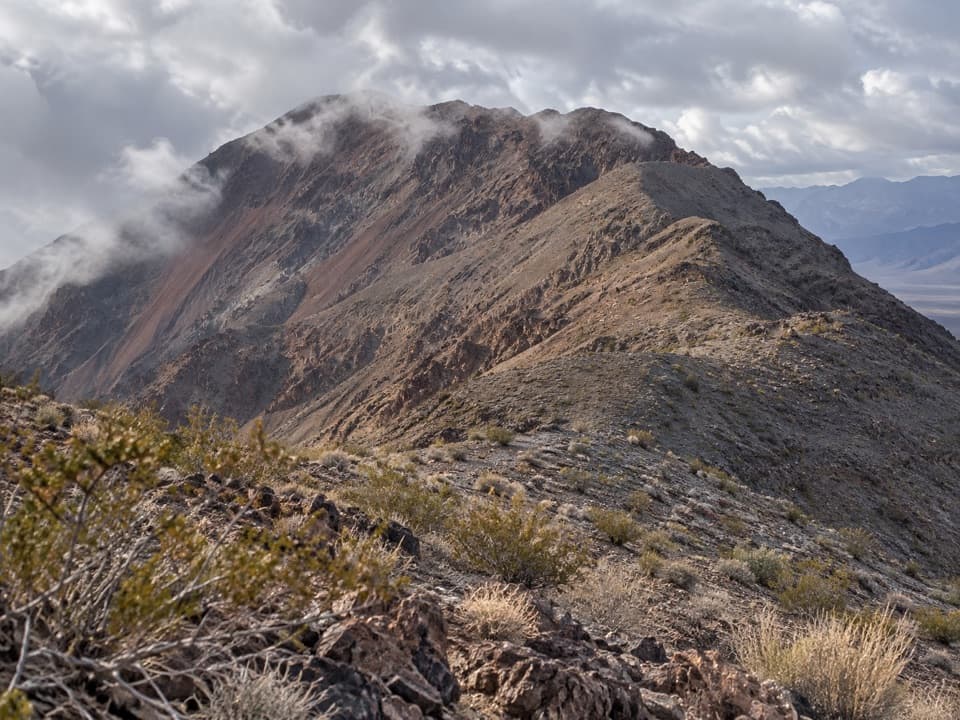 ChallengingDantes Ridge to Mount Perry9 mi · 5 hr · 4.8 mi awayA long, exposed ridge walk to the peak above Badwater Basin.
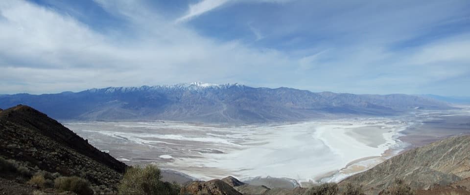 EasyDante Peak Trail0.9 mi · 45 min · 4.8 mi awayA rocky ridge walk to a quiet summit above Badwater.
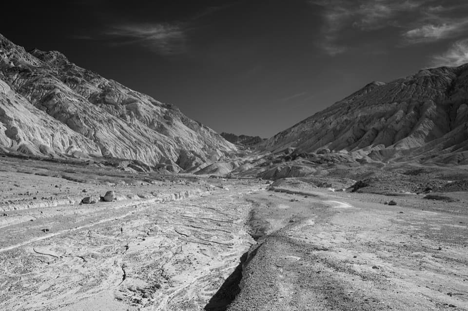 ChallengingDesolation Canyon3.6 mi · 2.5 hr · 8.8 mi awayCanyon narrows lead to a high view over Artist Drive.
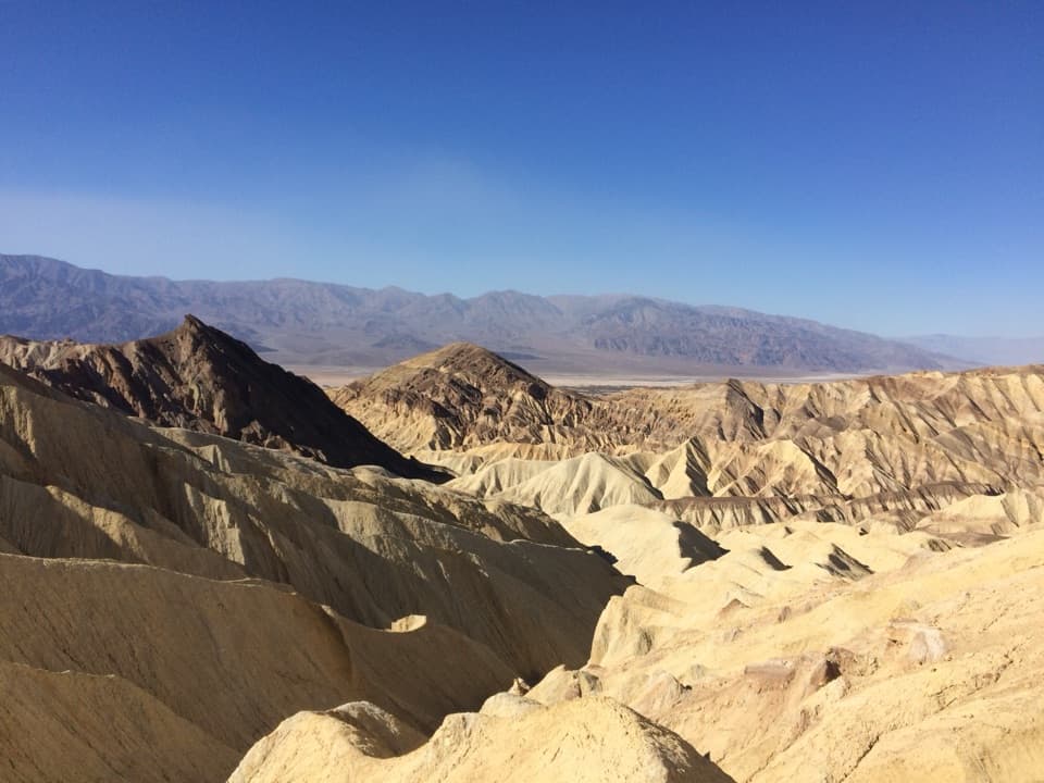 ModerateBadlands Loop2.7 mi · 1.8 hr · 9.9 mi awayA 2.7-mile loop through colorful badlands below Zabriskie Point.
 ModerateGolden Canyon to Red Cathedral3 mi · 1.8 hr · 10.6 mi awayA rocky canyon climb ends beneath Red Cathedral’s fluted red cliffs.ChallengingGolden Canyon Complete Circuit7.8 mi · 4.5 hr · 10.6 mi awayRed Cathedral, Zabriskie Point, and Gower Gulch on one long loop
 ModerateGower Gulch Loop4.3 mi · 2.5 hr · 10.6 mi awayGolden walls, an exposed climb, and a winding wash through Gower Gulch.Sight · 0.3 mi awayNatural BridgeWalk beneath a jagged, 35-foot-high rock bridge.
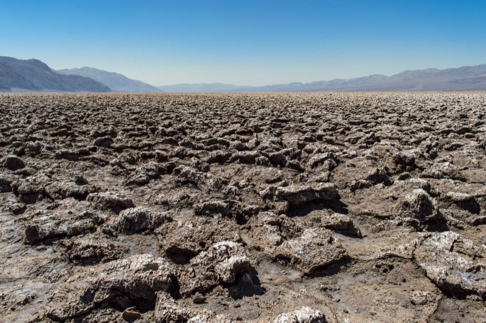 Sight · 3.2 mi awayDevils Golf CourseA vast salt pan sculpted into a field of jagged spires.
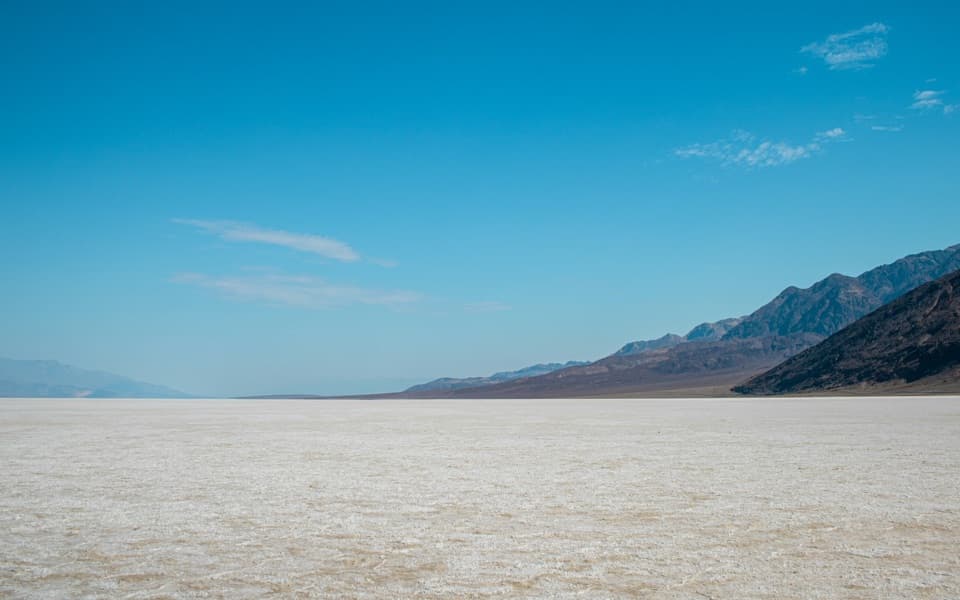 Sight · 3.6 mi awayBadwater BasinStep onto salt flats 282 feet below sea level.
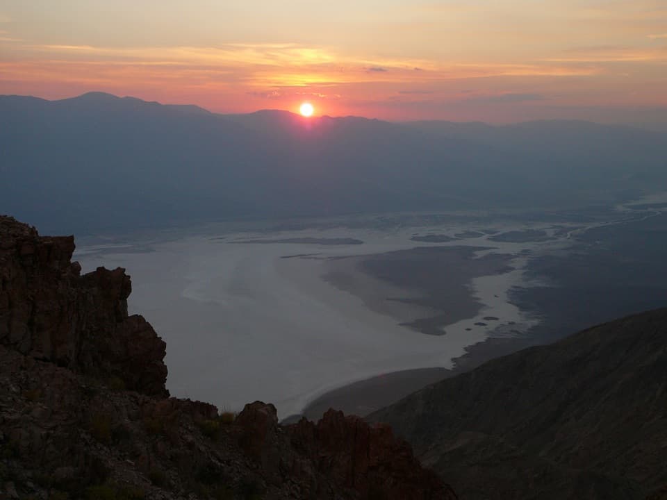 Sight · 4.8 mi awayDantes ViewA high perch for salt flats and far-off mountain ranges.
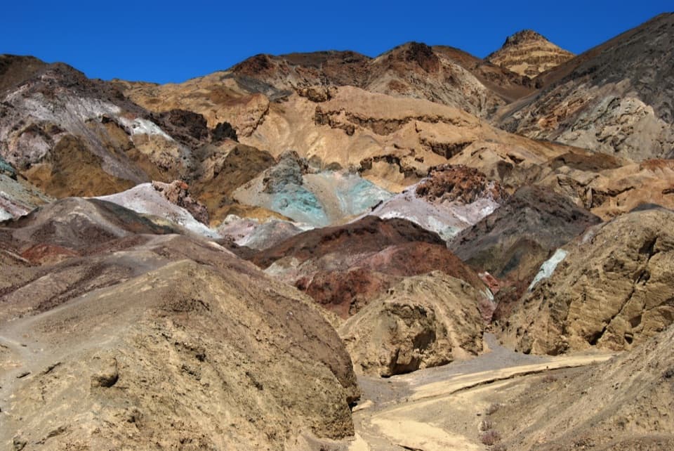 Sight · 6 mi awayArtists PaletteVolcanic hills shift from turquoise to ochre as the light changes.
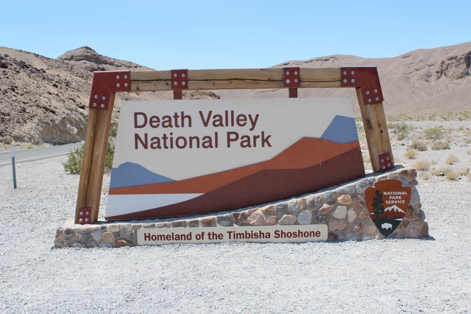 Scenic pullout · 8.1 mi awayDeath Valley National Park East Entrance SignA quick entrance photo before the drive into Death Valley.
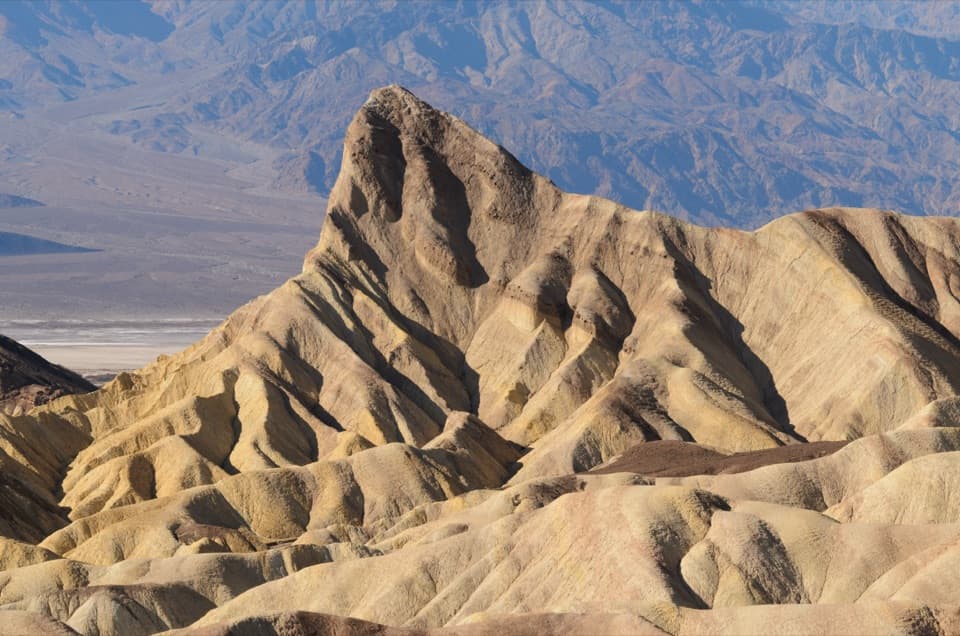 Sight · 9.9 mi awayZabriskie PointThe short uphill walk pays off in Manly Beacon and folded badlands
Parkwolf’s Death Valley ranking

The audio tour guide for the drive, plus offline maps, trails, and wildlife heatmaps for when the signal drops.

