Parking
Park in the open gravel area at the Wildrose Charcoal Kilns. Vehicles are limited to 25 feet. The final 2 miles of Emigrant Canyon Road are maintained gravel and typically passable in a sedan; a vault toilet is available at the parking area.

Death Valley National Park, CA · NV
Shorter path to big Death Valley views from a historic trailhead
Overview
Wildrose Peak is a strenuous out-and-back summit hike from the Wildrose Charcoal Kilns. The round trip is 8.4 miles with about 2,200 feet of elevation gain; allow roughly 6 hours for the full hike. The high-elevation route is a shorter alternative to Telescope Peak, but it remains a sustained climb.
Wildrose Peak combines a historic trailhead, a steady high-country climb, and expansive summit views. It is a demanding day hike, but the route is substantially shorter than Telescope Peak while still reaching a panoramic Panamint Range summit.
 Parkwolf’s verdictBottom Line
Map & elevation
Plan your hike

The highest, rockiest slopes around here are a summer buffet for grizzly bears.
Death Valley Tour Guide
Parkwolf is a GPS audio tour guide for Death Valley National Park. As you drive, it chimes in with what’s ahead: hidden gems, upcoming stops, history, geology, and wildlife, right through your car’s speakers.
See the Death Valley audio tourRecorded for this trailhead
Historic Charcoal Kilns in the Panamint Mountains“You're heading up into Wildrose Canyon, to a really unusual historic site, the Wildrose Charcoal Kilns.”
Plays as you drive up to this trailhead in the Parkwolf Death Valley Tour Guide.
More stories near here in the app
“Fantastic app with many points of information… It’s great to just turn on while you’re driving and it gives you an audio tour of the national Park. We love it!!!!”


Trail guide
The signed trailhead is just north of the historic charcoal kilns, built in 1877, and enters pinyon pine and juniper woodland in the Panamint Mountains. After about 1.7 miles, the trail reaches a saddle with the first views into Death Valley. The next 2.5 miles roll up and down the ridge before the route switchbacks steeply up the spine above tree line. The final 0.25 mile reaches the summit and its broad views across the Mojave Desert, Panamint Valley, Death Valley, and—on clear days—the Sierra Nevada.
The hike passes through pinyon-juniper woodland and higher, more open terrain. The charcoal kilns at the start are well-preserved historic structures and worth visiting before or after the hike. From the summit, Panamint Valley lies to the west and Death Valley lies more than 9,000 feet below to the east.
The trailhead is at the Wildrose Charcoal Kilns, around 6,800 feet. The final 2 miles of Emigrant Canyon Road to the kilns are maintained gravel and typically passable in a sedan; the approach and parking area have a 25-foot vehicle limit. Parking is an open gravel area with a vault toilet, but there is no restroom along the trail and no water. Carry a map and compass or GPS, even though the signed route is generally clear.
Wildlife
 71 sightingsBighorn SheepMost seen around 6 PMSighting map
 101 sightingsDesert TortoiseMost seen around 8 AMSighting map
 458 sightingsCoyoteMost seen around 6 PMSighting map
 28 sightingsFeral BurroMost seen around 5 PMSighting map
 30 sightingsMule DeerMost seen around 7 PMSighting map
 62 sightingsKit FoxMost seen around 7 PMSighting map
Sighting maps show where each species has been reported across Death Valley. Wildlife moves, so no sighting is guaranteed.
Keep exploring
 Sight · At the trailheadWildrose Charcoal KilnsBeehive kilns in the pines with history and killer acoustics
 Campground · 0.7 mi awayThorndike CampgroundTiny, cool, high-elevation hideout near Telescope Peak
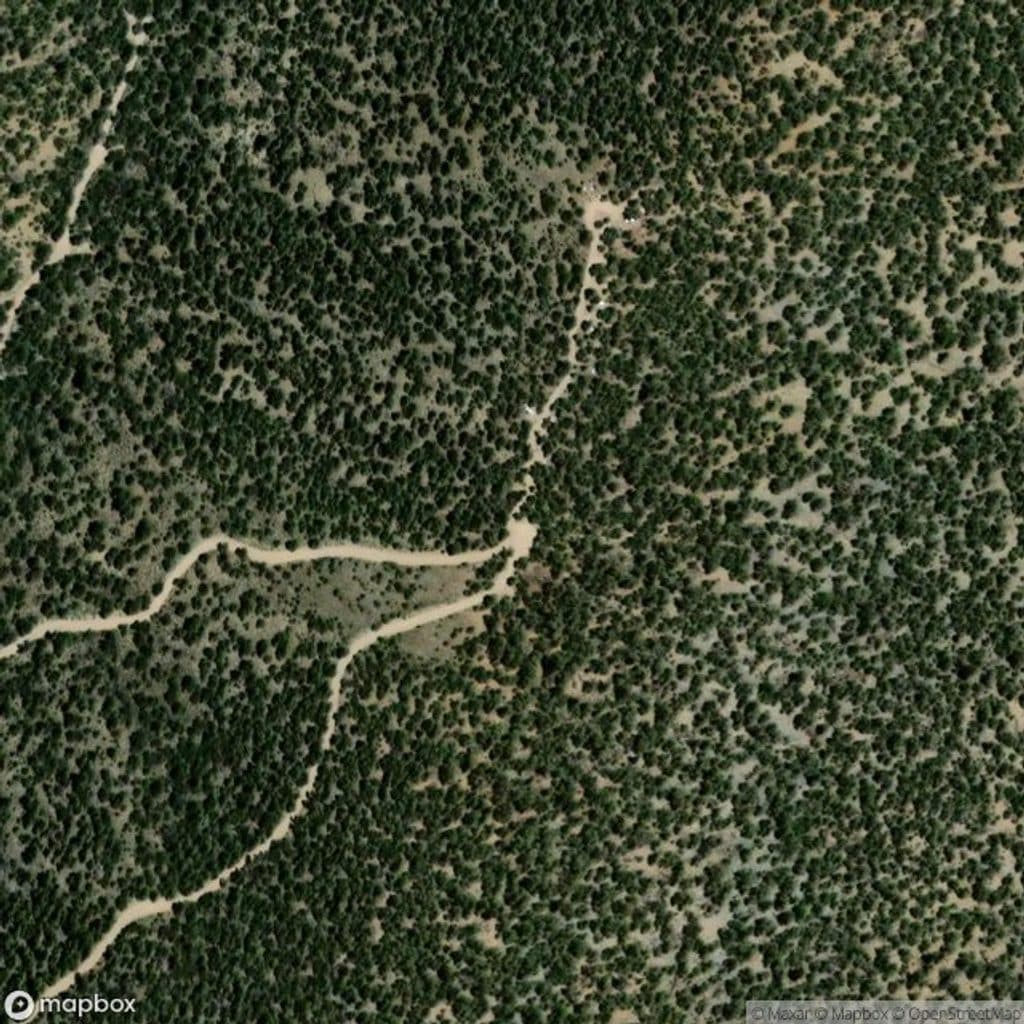 Trailhead · 1.2 mi awayTelescope Peak Trailhead ViewpointHigh-elevation trailhead with sweeping salt-to-Sierra views
 Campground · 1.2 mi awayMahogany Flat CampgroundHigh, free basecamp for Telescope Peak with big views
 Sight · 2 mi awayWildrose PeakBig views via a shorter, quieter climb from the charcoal kilns
 Sight · 5.2 mi awayHanaupah CanyonRemote backcountry canyon with a spring, mining relics, and big views
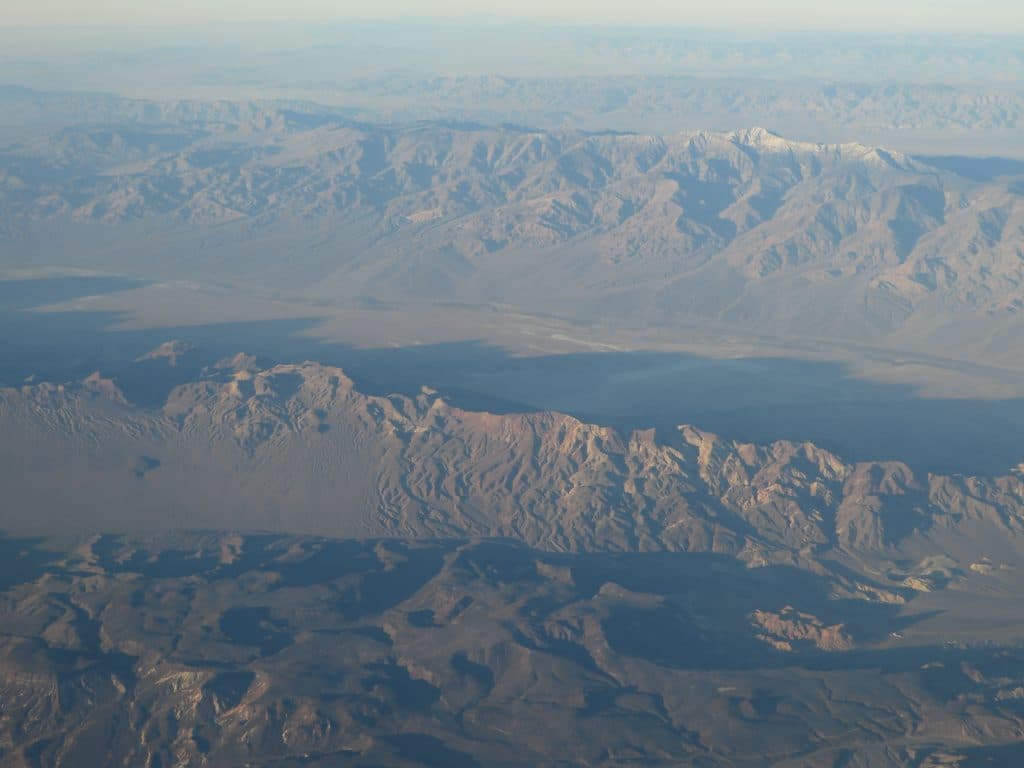 Sight · 5.3 mi awayTelescope PeakDesert high point with sweeping views from Badwater to Whitney
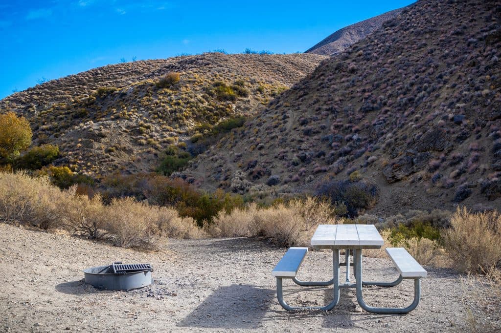 Campground · 6.4 mi awayWildrose CampgroundFree, cooler high‑desert campground near top Panamint hikes
Parkwolf’s Death Valley ranking
The audio tour guide for the drive, plus offline maps, trails, and wildlife heatmaps for when the signal drops.