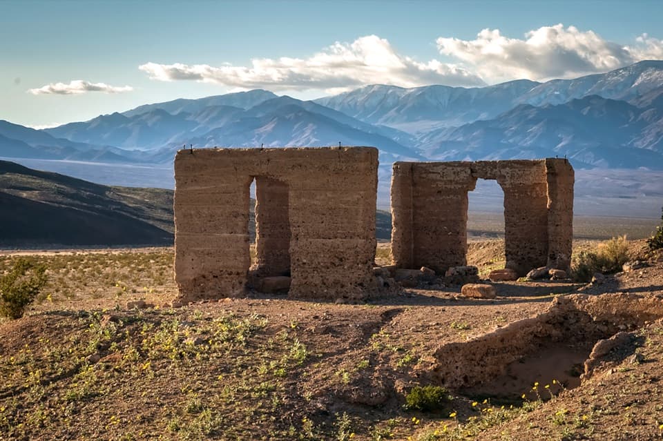
Parking
Unmarked roadside access on Harry Wade Road near Confidence Mill, about 6.6 miles from Ashford Junction. A high-clearance vehicle is required.
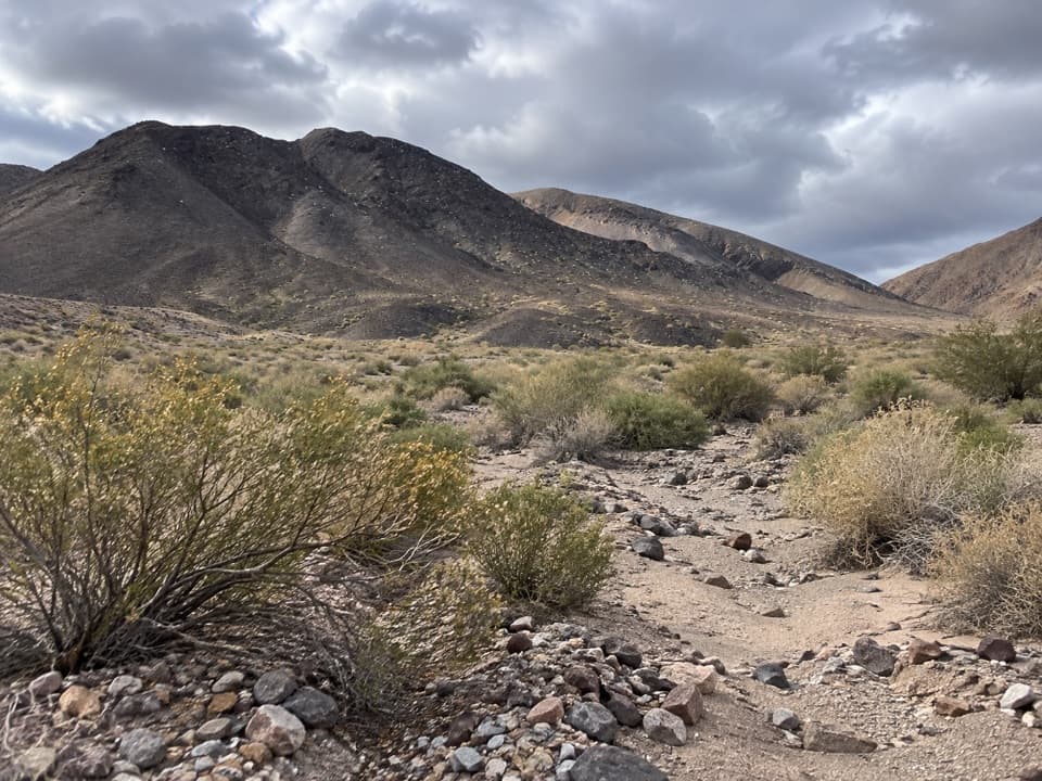
Death Valley National Park, CA · NV
A remote wash route into a hidden basin in the Owlsheads.
Overview
Map & elevation
Plan your hike

The highest, rockiest slopes around here are a summer buffet for grizzly bears.
Death Valley Tour Guide
Parkwolf is a GPS audio tour guide for Death Valley National Park. As you drive, it chimes in with what’s ahead: hidden gems, upcoming stops, history, geology, and wildlife, right through your car’s speakers.
See the Death Valley audio tourMore stories near here in the app
“Fantastic app with many points of information… It’s great to just turn on while you’re driving and it gives you an audio tour of the national Park. We love it!!!!”


Trail guide
Through Canyon–Granite Canyon is an unmarked, cross-country loop through the Owlshead Mountains, mostly on gravel washes. A detailed waypoint route estimates 14.9 miles; the park’s published figure is 16 miles, with about 1,900 feet of gain, so plan for a 15- to 16-mile trip. The hike is described as moderate, but the distance, rough route-finding and remoteness make this a hard day for most hikers. Allow about 12 to 14 hours on foot, or do it overnight; published directions say an overnight is the usual choice. The suggested direction is up Through Canyon and down Granite Canyon.
The unmarked start is on Harry Wade Road near Confidence Mill. From there, follow the old road south and west, cross the Amargosa River channel, then use a wash through the low Confidence Hills rather than climbing over them. Leave that wash and angle toward Through Canyon, just south of the wider Granite Canyon. The canyon is a broad gravel wash with rocks along its sides and a small stand of smoke trees; it reaches a hidden basin in the heart of the mountains.
At the split about 6.6 miles in, take the broad right-hand wash for the crossover toward Granite Canyon. Continuing farther up Through Canyon is a different out-and-back line; the separately described brow viewpoint over Owl Lake and the Quail Mountains is beyond this loop's turn.
The connector climbs toward a low divide, then drops steeply into upper Granite Canyon. From there, follow the canyon down past boulders and caves, then cross the desert fan back to Harry Wade Road. These are unmarked cross-country directions, not a maintained tread: use the canyon and wash features to stay oriented, and expect the stored line to be approximate.
There is no water on the route. The river channel is often dry, but the crossing can carry dangerous flow after rain or snowmelt. The start is an unmarked roadside access near Confidence Mill; a high-clearance vehicle is required. A backcountry permit is recommended here, but not required. Pets are not allowed on trails or in wilderness, and backcountry campfires are prohibited. Overnight groups are limited to 12 people and four vehicles.
Wildlife
 72 sightingsBighorn SheepMost seen around 6 PMSighting map
 101 sightingsDesert TortoiseMost seen around 8 AMSighting map
 466 sightingsCoyoteMost seen around 6 PMSighting map
 29 sightingsFeral BurroMost seen around 5 PMSighting map
 30 sightingsMule DeerMost seen around 7 PMSighting map
 65 sightingsKit FoxMost seen around 7 PMSighting map
Sighting maps show where each species has been reported across Death Valley. Wildlife moves, so no sighting is guaranteed.
Keep exploring
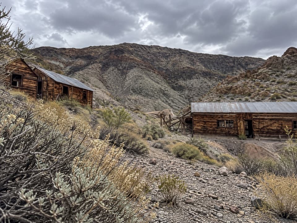 ModerateAshford Canyon to Ashford Mine Camp3.9 mi · 4 hr · 9.6 mi awayA remote gold camp rewards a rough canyon wash and uphill climb.
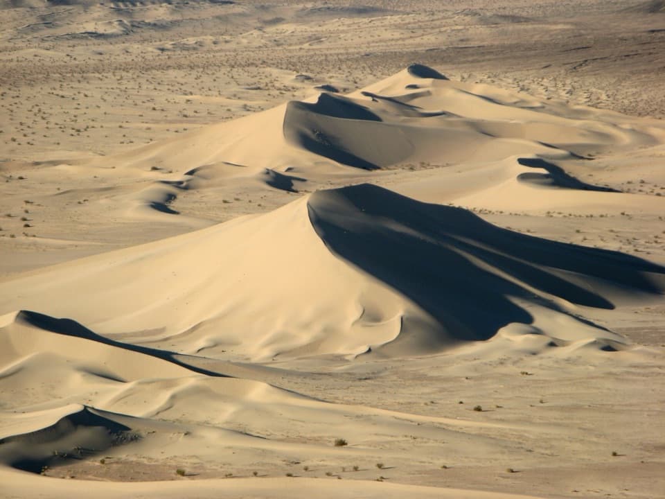 ModerateIbex Sand Dunes Walk3.1 mi · 3 hr · 13.9 mi awayCross open desert to a high, wind-shaped dune crest.
Parkwolf’s Death Valley ranking

The audio tour guide for the drive, plus offline maps, trails, and wildlife heatmaps for when the signal drops.