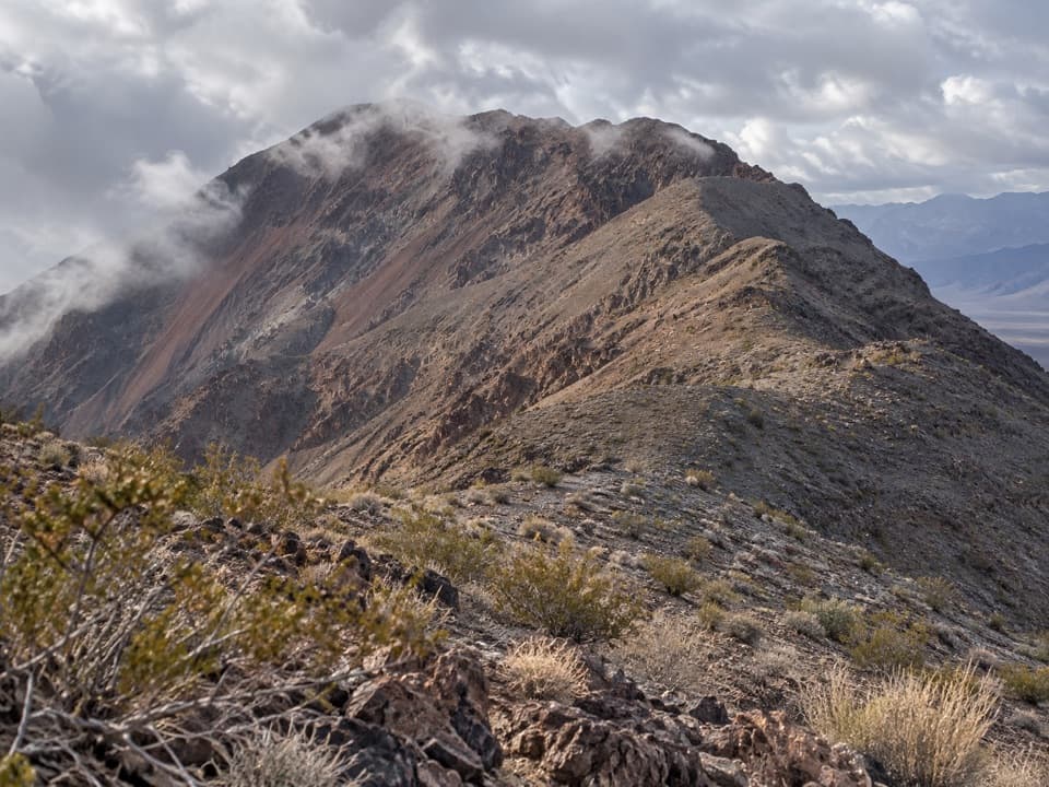
Parking
Use the paved Golden Canyon Trailhead lot on Badwater Road, about 2 miles south of CA-190. The lot accommodates buses and RVs; a vault toilet is there.

#6 of 57 trails in Death Valley
Death Valley National Park, CA · NV
Golden walls, an exposed climb, and a winding wash through Gower Gulch.
Photo: Greg Willis from Denver, CO, usa, CC BY-SA 2.0, via Wikimedia Commons
Overview
Map & elevation
Plan your hike

The highest, rockiest slopes around here are a summer buffet for grizzly bears.
Death Valley Tour Guide
Parkwolf is a GPS audio tour guide for Death Valley National Park. As you drive, it chimes in with what’s ahead: hidden gems, upcoming stops, history, geology, and wildlife, right through your car’s speakers.
See the Death Valley audio tourRecorded for this trailhead
Golden Canyon: Walk to Red Cathedral“Up ahead is Golden Canyon trailhead, where I'd choose the walk to Red Cathedral for golden walls ending beneath fluted red cliffs.”
Plays as you drive up to this trailhead in the Parkwolf Death Valley Tour Guide.
More stories near here in the app
“Fantastic app with many points of information… It’s great to just turn on while you’re driving and it gives you an audio tour of the national Park. We love it!!!!”


Trail guide
The Gower Gulch Loop is a 4.3-mile circuit from Golden Canyon Trailhead through Golden Canyon, across open badlands below Manly Beacon, and down Gower Gulch before returning to the same lot. Allow about 2.5 hours, the park's estimate; the route gains about 850 feet. It is listed as moderate, but the steep, exposed climb and short ledge scrambles make it a demanding choice for anyone uneasy on rough ground.
The first stretch climbs gradually up Golden Canyon. Small signs mark the main junctions, so carry the park route map and check it before choosing a branch. The optional Red Cathedral spur adds 1 mile round trip. Later, the uphill east branch heads toward Zabriskie Point and the longer Complete Circuit; for this loop, take the signed downhill southwest route toward Gower Gulch.
The route starts on a rocky wash between tall golden walls. The canyon narrows and bends, with low overhangs and short ledges that require hands-on scrambling in places. The walls open as you climb, and the trail leaves the canyon for bare slopes. Take time to look back down the wash: the canyon's layered walls make a stronger view from inside the route than from the parking area.
Beyond the junction, the route climbs steeply over eroded mud hills and traverses below Manly Beacon's west face to a saddle. This is the most exposed part of the circuit, with little shade and loose footing on the narrow track. From the saddle, badlands and mesquite flats spread north; south, the view runs over the colored hills toward the surrounding mountains. Frame Manly Beacon with the trail and lower canyon in view, rather than climbing away from the route for a photo.
The descent drops through pale hills into a gray gravel wash. It is a different feel from Golden Canyon's gold walls: the wash cuts through layered sediment, then into darker conglomerate and greenish canyon walls. Look for ripple marks in the red rock and sparse desert holly and prickly penstemon along the drainage. Several old borax mine openings are cut into the canyon sides; no mining structures remain visible.
Lower Gower Gulch has several short scrambles, including a slick, gravel-covered pour-over where careful footing matters. Near the mouth, a 25-foot dryfall blocks the wash. The route skirts it on ledges to the north (right), then crosses open alluvial fans back toward the trailhead. At the exit, look west through the rocky opening toward the valley floor and Panamint Range; the canyon walls give the view a natural frame.
Golden Canyon parking is paved and has a vault toilet; there is no water or food service on the route or at the trailhead identified here. Water is available in Furnace Creek, a separate stop. This low-elevation loop has little shade, and summer heat can make hiking dangerous; choose a cool period and start early. Do not enter the canyons or washes during an active rainstorm or when heavy rain is likely, because flash floods can rise quickly. Pets are not allowed on park trails, though leashed pets may use developed areas such as the lot.
For a shorter outing from the same lot, Golden Canyon to Red Cathedral is a 3-mile out-and-back. It still has minor ledge scrambling, but skips the exposed traverse below Manly Beacon and the Gower Gulch descent. It is a separate route, not a short version of the loop.
Wildlife
 72 sightingsBighorn SheepMost seen around 6 PMSighting map
 101 sightingsDesert TortoiseMost seen around 8 AMSighting map
 466 sightingsCoyoteMost seen around 6 PMSighting map
 29 sightingsFeral BurroMost seen around 5 PMSighting map
 30 sightingsMule DeerMost seen around 7 PMSighting map
 65 sightingsKit FoxMost seen around 7 PMSighting map
Sighting maps show where each species has been reported across Death Valley. Wildlife moves, so no sighting is guaranteed.
Keep exploring
 ModerateGolden Canyon to Red Cathedral3 mi · 1.8 hr · At the trailheadA rocky canyon climb ends beneath Red Cathedral’s fluted red cliffs.ChallengingGolden Canyon Complete Circuit7.8 mi · 4.5 hr · At the trailheadRed Cathedral, Zabriskie Point, and Gower Gulch on one long loop
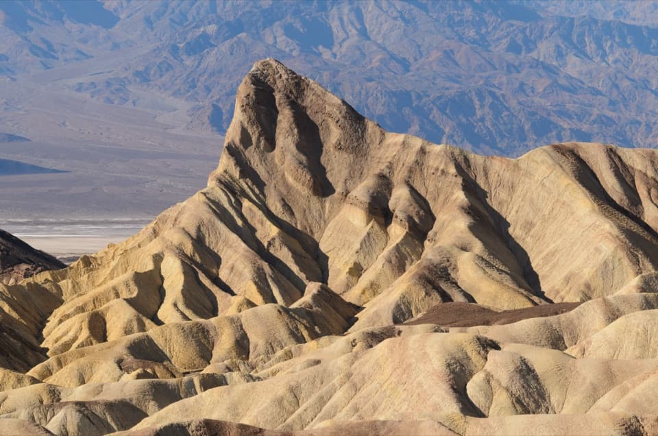 ModerateGolden Canyon to Zabriskie Point Trail2.9 mi · 2 hr · At the trailheadA signed badlands traverse beneath Manly Beacon to Zabriskie Point.
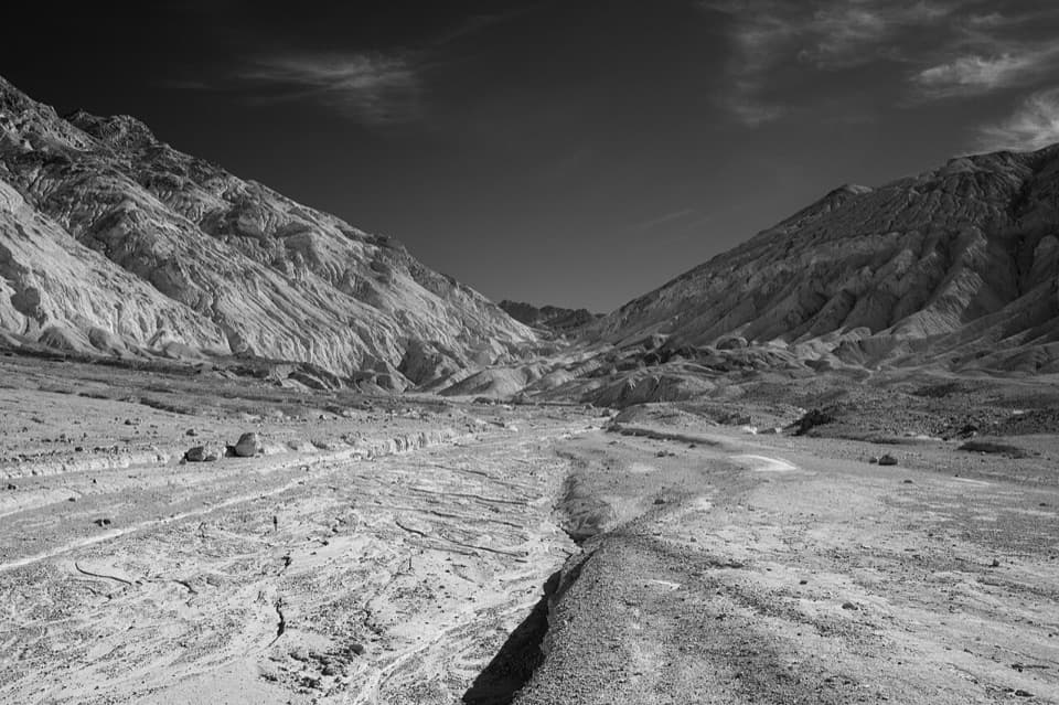 ChallengingDesolation Canyon3.6 mi · 2.5 hr · 1.8 mi awayCanyon narrows lead to a high view over Artist Drive.
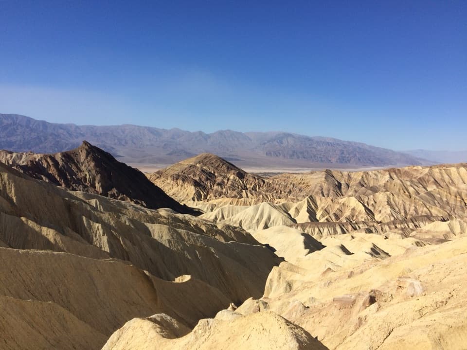 ModerateBadlands Loop2.7 mi · 1.8 hr · 1.9 mi awayA 2.7-mile loop through colorful badlands below Zabriskie Point.
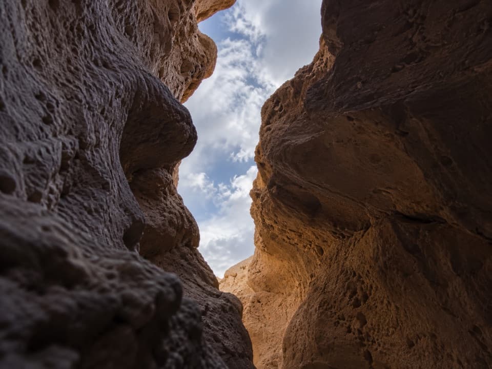 ChallengingFuneral Slot Canyon6.9 mi · 4.5 hr · 2.8 mi awayA colorful wash narrows into a sculpted slot canyon.
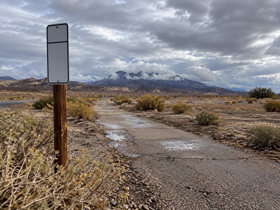 EasyFurnace Creek Bike Path2.6 mi · 1.3 hr · 3.1 mi awayA flat paved walk from Furnace Creek to the old borax works.
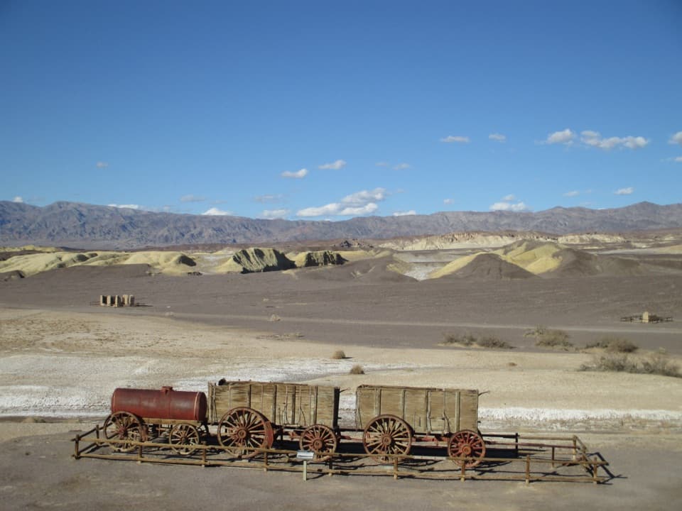 EasyHarmony Borax Works Interpretive Trail0.4 mi · 30 min · 4.4 mi awayWalk among borax ruins and the original twenty-mule wagons.Sight · 1.9 mi awayZabriskie PointThe short uphill walk pays off in Manly Beacon and folded badlands
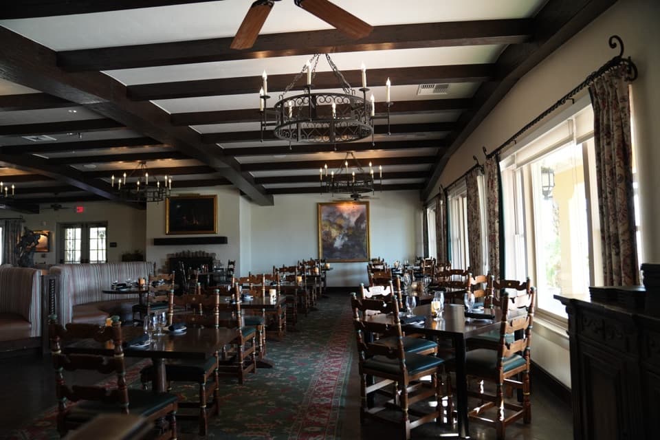 Restaurant · 2.1 mi awayThe Inn Dining RoomAn upscale meal with salt-pan views from the Inn Terrace.
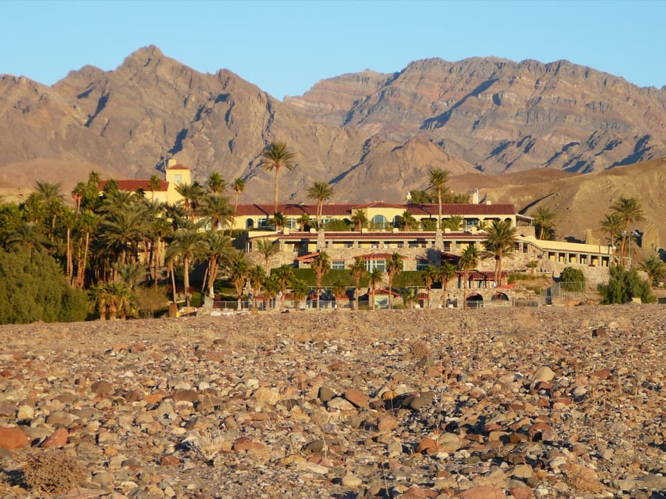 Lodging · 2.1 mi awayThe Inn at Death ValleyA spring-fed pool and palm garden in a historic desert hotel.
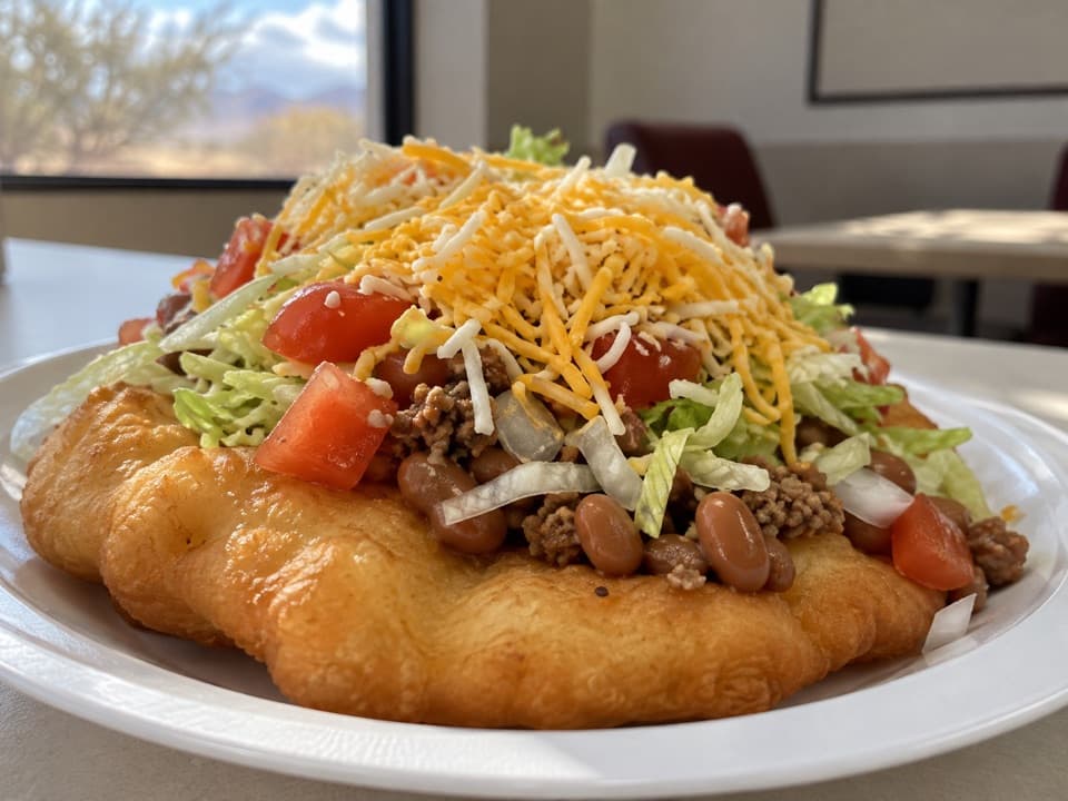 Restaurant · 2.6 mi awayTimbisha TacosA Furnace Creek food stop known for fry-bread tacos and shaved ice.
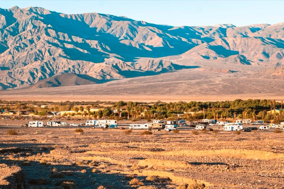 Campground · 2.7 mi awaySunset CampgroundA practical gravel base for RVs and Furnace Creek park days.
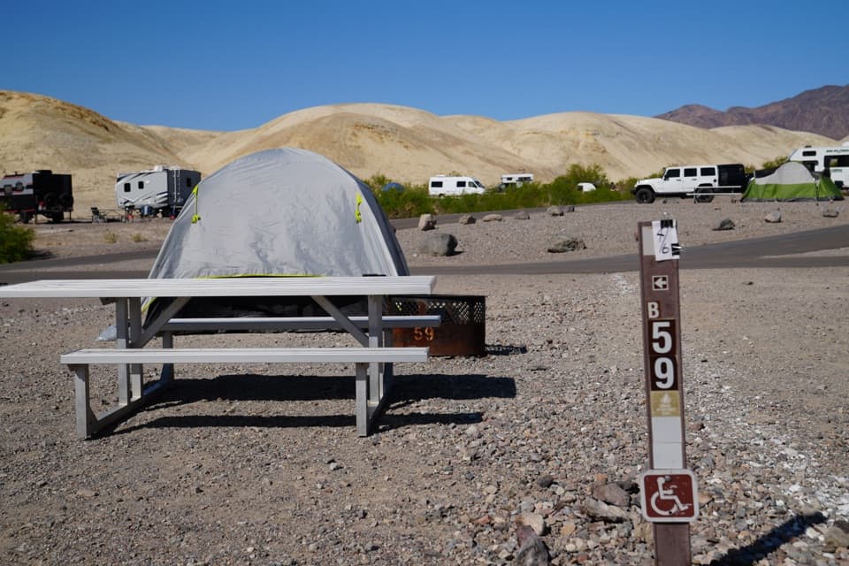 Campground · 2.7 mi awayTexas Springs CampgroundCamp above Furnace Creek for valley views and desert stargazing.
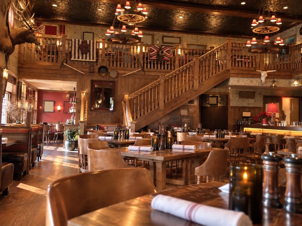 Restaurant · 2.7 mi awayThe Last Kind Words SaloonA two-level saloon dining room gives dinner a distinctly western feel.
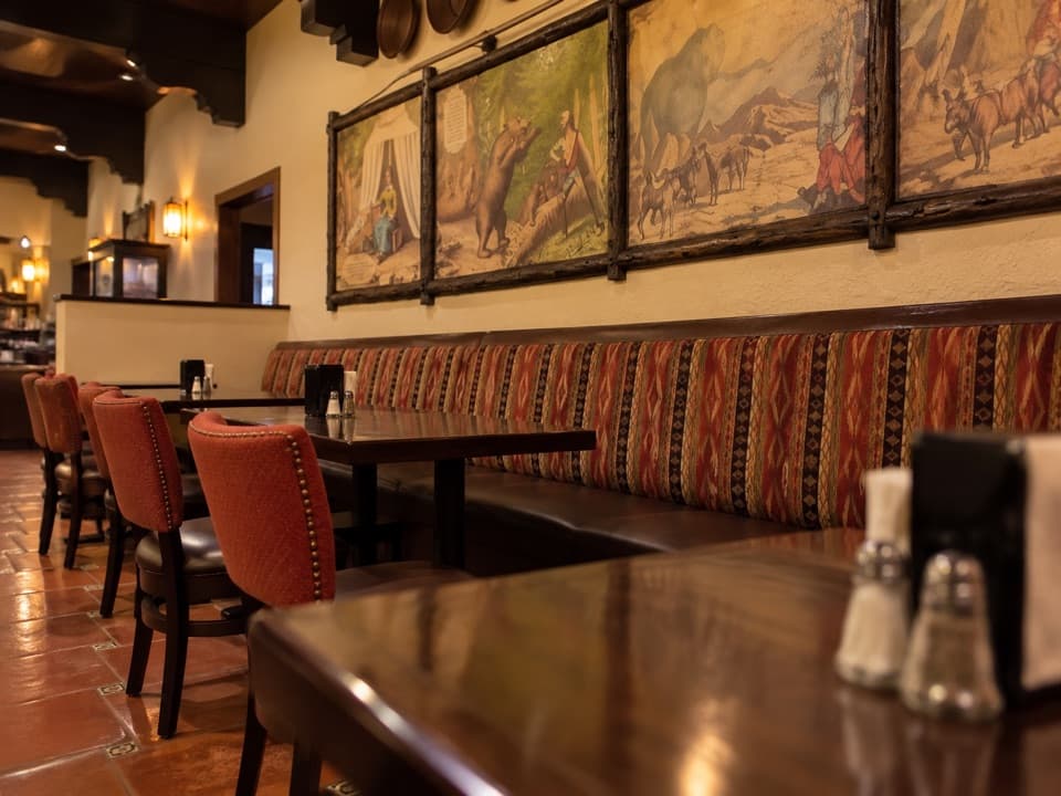 Restaurant · 2.7 mi away1849 RestaurantAn easy buffet stop in Furnace Creek
Parkwolf’s Death Valley ranking

The audio tour guide for the drive, plus offline maps, trails, and wildlife heatmaps for when the signal drops.