Parking
Start at Golden Canyon Trailhead, two miles south of CA-190 on Badwater Road. The paved lot has spaces for buses and RVs and a vault toilet. Zabriskie Point is the other NPS-listed start, with its own paved lot and vault toilet.

#5 of 57 trails in Death Valley
Death Valley National Park, CA · NV
Red Cathedral, Zabriskie Point, and Gower Gulch on one long loop
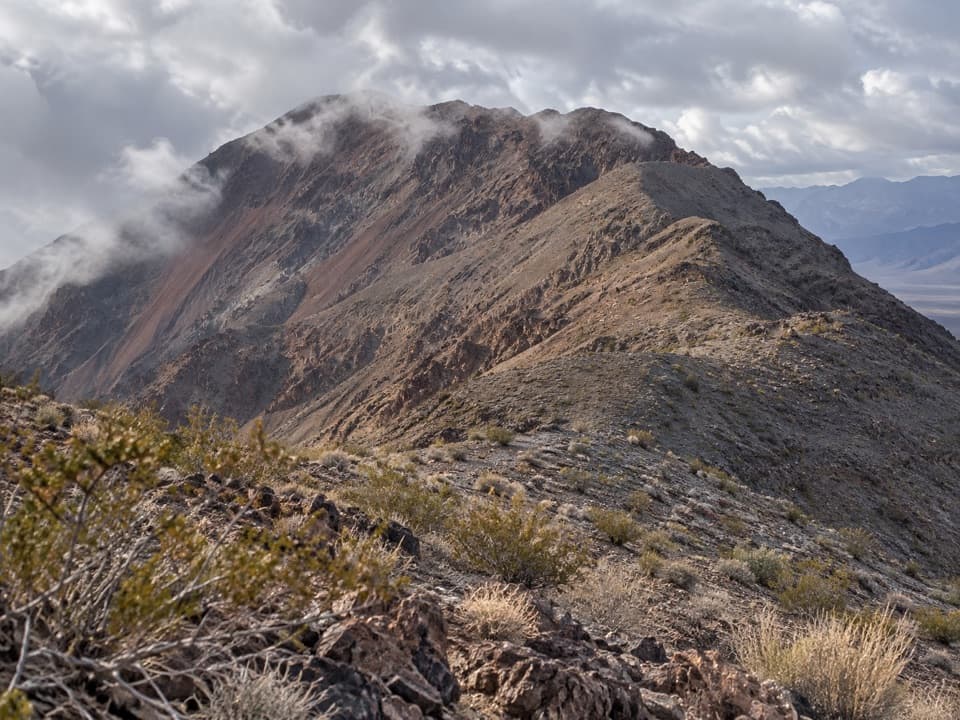
Photo: Pierre Camateros, CC BY-SA 3.0, via Wikimedia Commons
Overview
Map & elevation
Plan your hike

The highest, rockiest slopes around here are a summer buffet for grizzly bears.
Death Valley Tour Guide
Parkwolf is a GPS audio tour guide for Death Valley National Park. As you drive, it chimes in with what’s ahead: hidden gems, upcoming stops, history, geology, and wildlife, right through your car’s speakers.
See the Death Valley audio tourRecorded for this trailhead
Golden Canyon: Walk to Red Cathedral“Up ahead is Golden Canyon trailhead, where I'd choose the walk to Red Cathedral for golden walls ending beneath fluted red cliffs.”
Plays as you drive up to this trailhead in the Parkwolf Death Valley Tour Guide.
More stories near here in the app
“Fantastic app with many points of information… It’s great to just turn on while you’re driving and it gives you an audio tour of the national Park. We love it!!!!”


Trail guide
Golden Canyon Complete Circuit is a 7.8-mile loop from Golden Canyon Trailhead up Golden Canyon, out to Red Cathedral, across the Badlands to Zabriskie Point, and down Gower Gulch back to the valley. The park calls it strenuous and estimates 4.5 hours; plan a half day with time to stop at the viewpoints. This is a strong choice if you want narrow canyons, open badlands and a landmark overlook in one outing. It is too much if you are after an easy stroll.
The paved Golden Canyon lot is two miles south of CA-190 on Badwater Road, and has a vault toilet. The canyon climbs gradually between tall golden walls, but the tread is rocky rather than smooth. You will step over ledges up to four feet high and duck under low overhangs; minor scrambling is part of completing the route.
The side route reaches Red Cathedral’s fluted red walls, a close-up payoff after the canyon’s gold and tan rock. Leave room in a photo for the pale slope below the cliff so the height of the red face reads clearly. Retrace the spur to rejoin the circuit.
The route weaves through colorful badlands and narrow drainages on its way to Zabriskie Point. At junctions, small signs mark the main turns, but the maze can be confusing if you follow a wash without checking where it leads. Carry the park map and route description, and stop to confirm the route at each marked intersection.
The circuit reaches the park’s best-known overlook, with a broad view across folded badlands and Manly Beacon. It is a good place to stop for lunch before the return leg. The Zabriskie Point lot is an alternate start for the loop and has a vault toilet; the route saved here begins at Golden Canyon.
From the overlook, the circuit drops through Gower Gulch toward the valley. Near the canyon mouth, tight narrows gather around a 25-foot dryfall; the hiking route bypasses it on the north side. Expect more ledges to step over, so the downhill finish still needs careful footing.
The Badlands Loop crosses deposits from an ancient lakebed, now cut into colorful hills and narrow gullies. The change from the close walls of Golden Canyon to the folded, open slopes is a big part of what makes the full circuit feel varied rather than like one long canyon walk.
Golden Canyon to Red Cathedral is a 3-mile round trip, rated moderate, with a 1.5-to-2-hour estimate. The Gower Gulch Loop is 4.3 miles; its Red Cathedral spur adds about a mile round trip. Either is a better fit for a shorter visit, but neither covers the complete Badlands and Zabriskie Point circuit.
This is an exposed desert hike, and visitors on the Golden Canyon and Gower Gulch segments repeatedly warn that warm weather makes it much harder. Choose cooler conditions and start early enough to give the full route time. Pets are limited to developed areas and roads in the park, so they cannot accompany you on this hiking route.
Wildlife
 72 sightingsBighorn SheepMost seen around 6 PMSighting map
 101 sightingsDesert TortoiseMost seen around 8 AMSighting map
 466 sightingsCoyoteMost seen around 6 PMSighting map
 29 sightingsFeral BurroMost seen around 5 PMSighting map
 30 sightingsMule DeerMost seen around 7 PMSighting map
 65 sightingsKit FoxMost seen around 7 PMSighting map
Sighting maps show where each species has been reported across Death Valley. Wildlife moves, so no sighting is guaranteed.
Keep exploring
ModerateGolden Canyon to Red Cathedral3 mi · 1.8 hr · At the trailheadA rocky canyon climb ends beneath Red Cathedral’s fluted red cliffs. ModerateGower Gulch Loop4.3 mi · 2.5 hr · At the trailheadGolden walls, an exposed climb, and a winding wash through Gower Gulch.
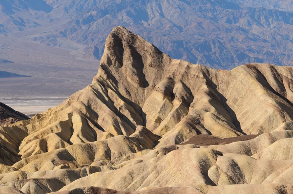 ModerateGolden Canyon to Zabriskie Point Trail2.9 mi · 2 hr · At the trailheadA signed badlands traverse beneath Manly Beacon to Zabriskie Point.
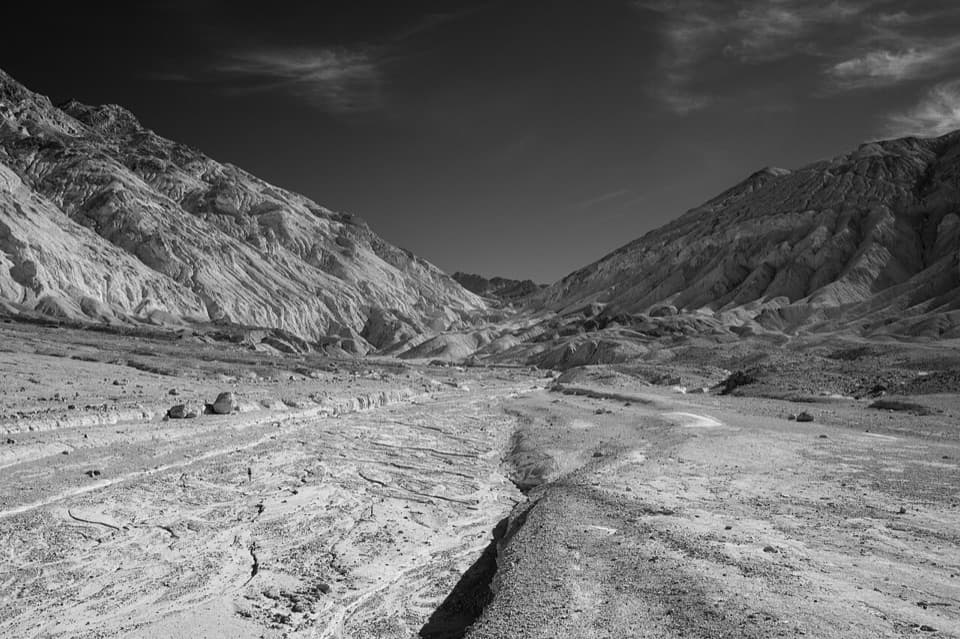 ChallengingDesolation Canyon3.6 mi · 2.5 hr · 1.8 mi awayCanyon narrows lead to a high view over Artist Drive.
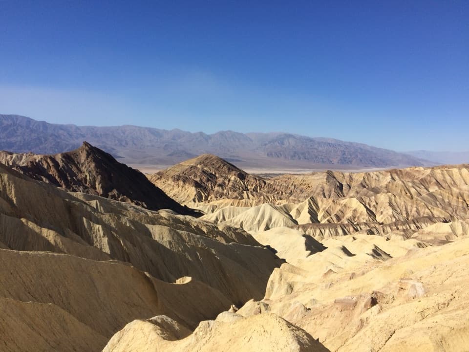 ModerateBadlands Loop2.7 mi · 1.8 hr · 1.9 mi awayA 2.7-mile loop through colorful badlands below Zabriskie Point.
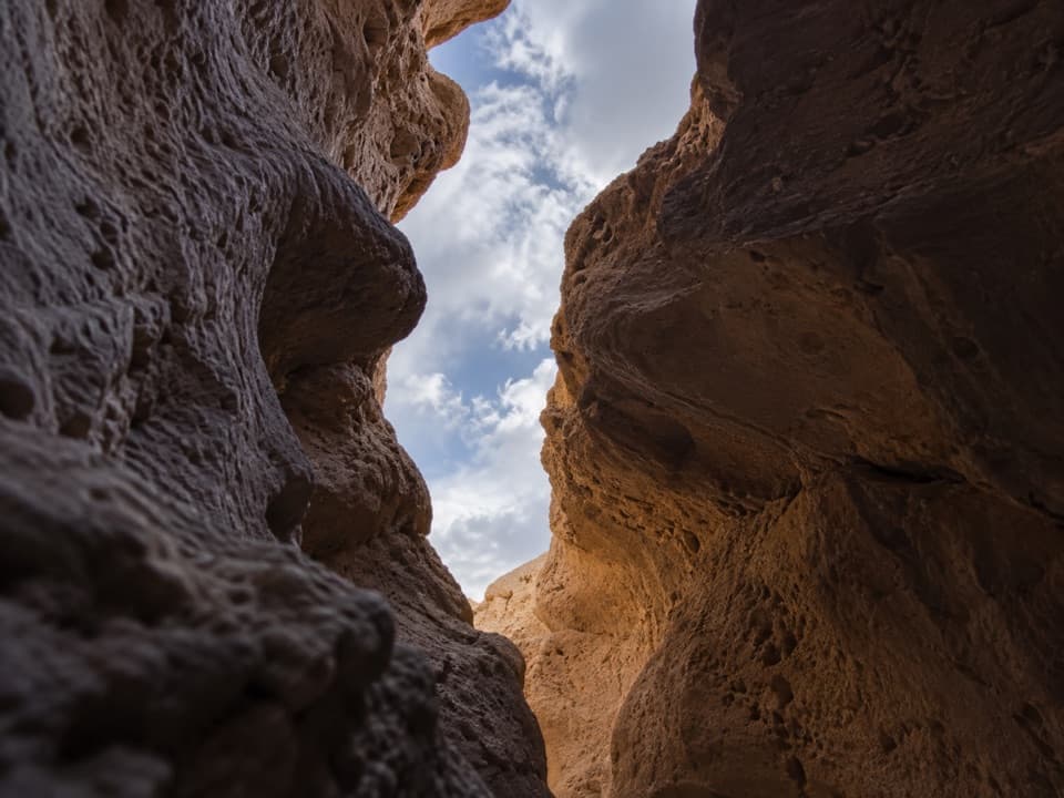 ChallengingFuneral Slot Canyon6.9 mi · 4.5 hr · 2.8 mi awayA colorful wash narrows into a sculpted slot canyon.
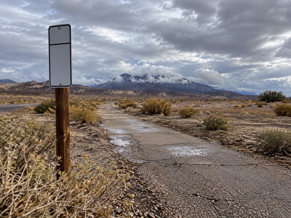 EasyFurnace Creek Bike Path2.6 mi · 1.3 hr · 3.1 mi awayA flat paved walk from Furnace Creek to the old borax works.
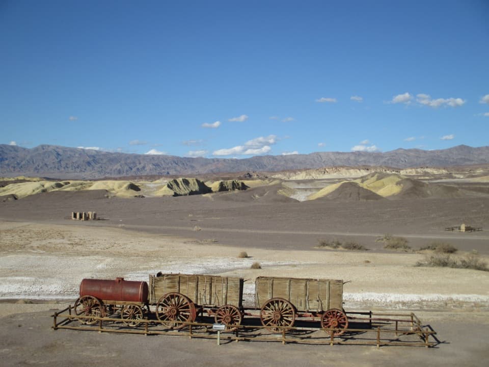 EasyHarmony Borax Works Interpretive Trail0.4 mi · 30 min · 4.4 mi awayWalk among borax ruins and the original twenty-mule wagons.Sight · 1.9 mi awayZabriskie PointThe short uphill walk pays off in Manly Beacon and folded badlands
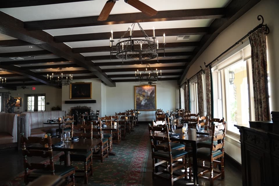 Restaurant · 2.1 mi awayThe Inn Dining RoomAn upscale meal with salt-pan views from the Inn Terrace.
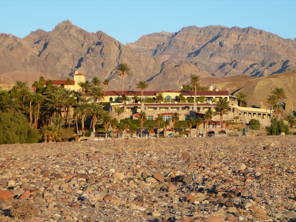 Lodging · 2.1 mi awayThe Inn at Death ValleyA spring-fed pool and palm garden in a historic desert hotel.
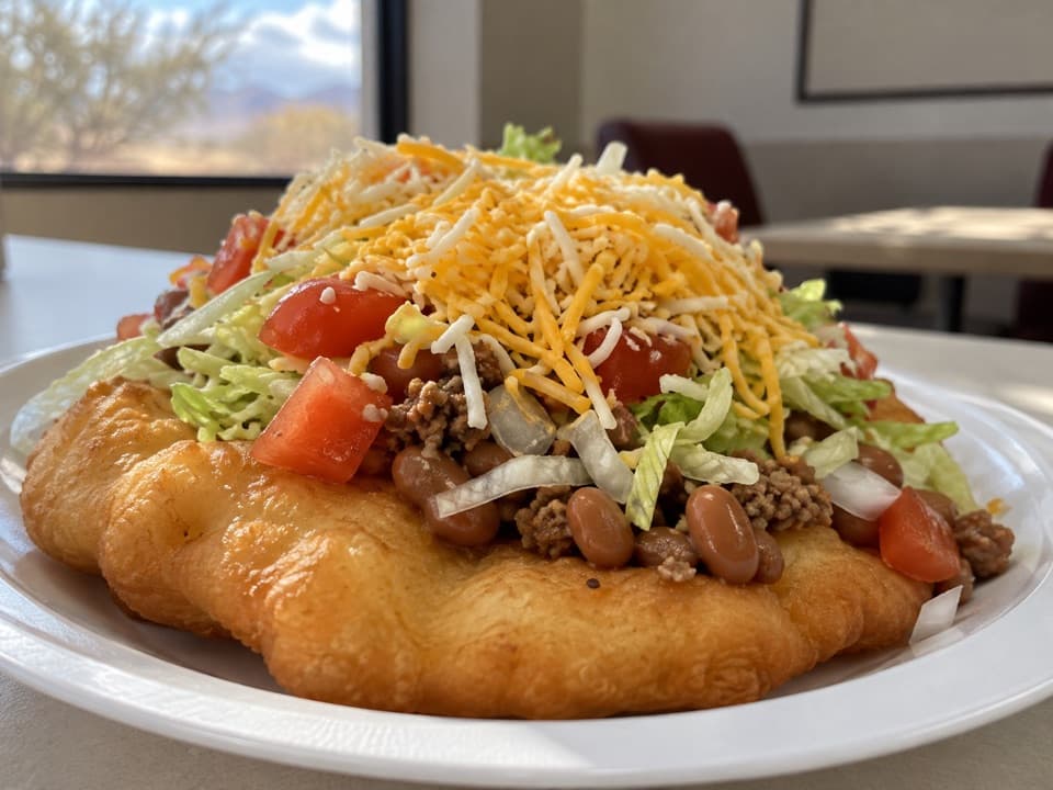 Restaurant · 2.6 mi awayTimbisha TacosA Furnace Creek food stop known for fry-bread tacos and shaved ice.
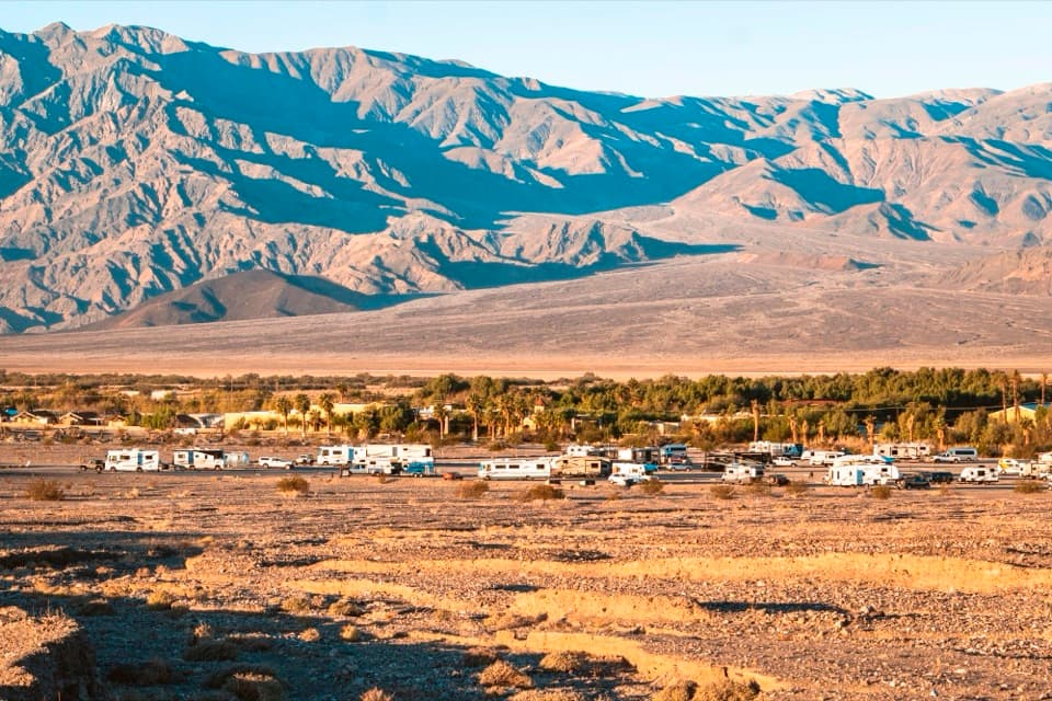 Campground · 2.7 mi awaySunset CampgroundA practical gravel base for RVs and Furnace Creek park days.
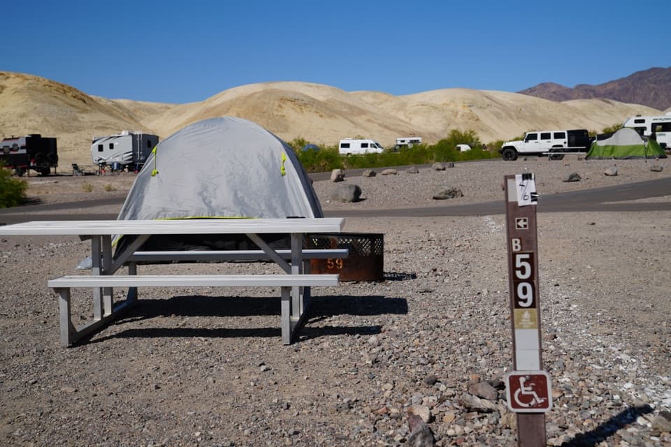 Campground · 2.7 mi awayTexas Springs CampgroundCamp above Furnace Creek for valley views and desert stargazing.
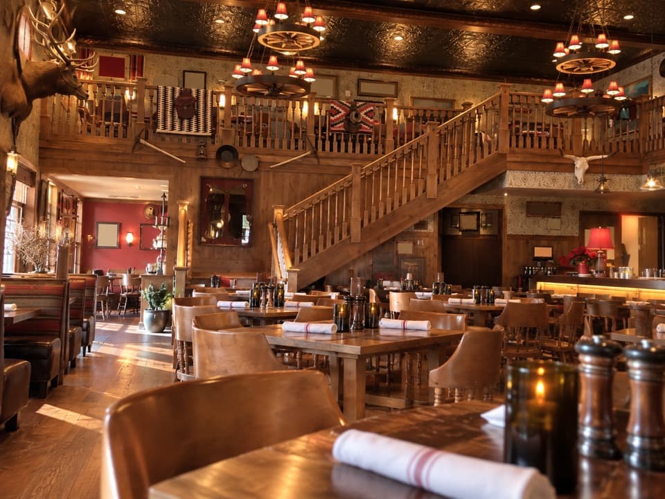 Restaurant · 2.7 mi awayThe Last Kind Words SaloonA two-level saloon dining room gives dinner a distinctly western feel.
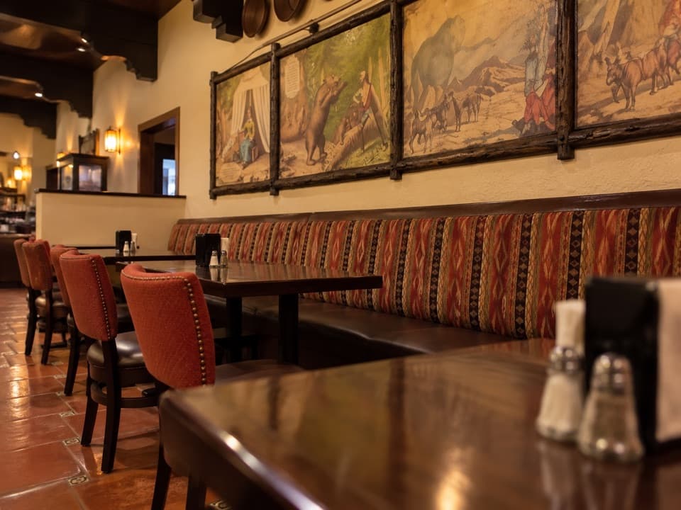 Restaurant · 2.7 mi away1849 RestaurantAn easy buffet stop in Furnace Creek
Parkwolf’s Death Valley ranking

The audio tour guide for the drive, plus offline maps, trails, and wildlife heatmaps for when the signal drops.