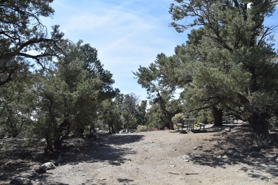
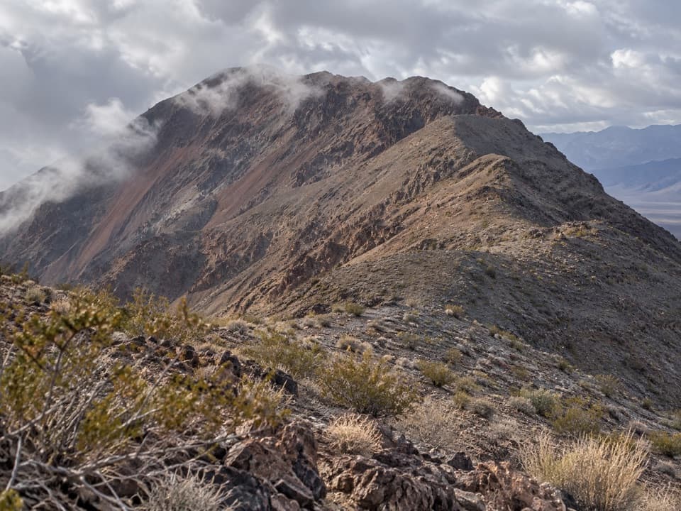
Beyond the meadow, the route follows a narrow, relatively gentle ridge with occasional limber pines. The climb steepens again in switchbacks among bristlecone pines, some of the oldest trees on Earth. The final short approach is a narrow ridge that can feel exposed, ending on a broad patch of rock and dirt at the summit. Stay on the path near the edges and turn around if the drop-offs make you uneasy.
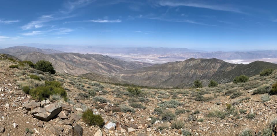
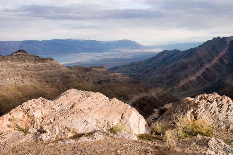
From the top, Badwater Basin lies far below to the east, while Panamint Valley opens to the west. On a clear day, the Sierra Nevada and Mount Whitney appear on the western horizon. For a photo, frame the summit with a bristlecone or the rocky tread in the foreground and the valley below; that gives the view a sense of scale.