

All Death Valley trails
36 trails
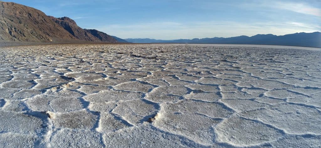 1Badwater Basin Salt FlatsWalk from Badwater Basin onto the otherworldly salt polygons at North America’s lowest point
 2Zabriskie Point Overlook TrailA short paved out-and-back from the Zabriskie Point parking area to Death Valley's iconic badlands overlook.
 3Mesquite Flat Sand DunesCross-country dunes to Death Valley’s tallest dune, with wide-open sunrise and sunset views.
 4Telescope PeakHigh-elevation summit day through alpine meadows and ancient bristlecones
 5Titus Canyon NarrowsEasy desert walk into Titus Canyon’s narrowest limestone walls.
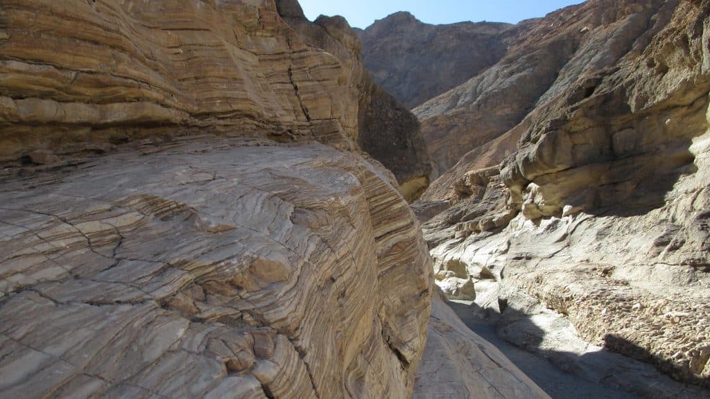 6Mosaic CanyonA full out-and-back through polished marble narrows, Mosaic Breccia, and dryfall terrain
 7Artist's Palette WashExplore a short, unmaintained loop through Death Valley's rainbow badlands.
 8Badwater Basin BoardwalkEasy, accessible stroll from Badwater Basin’s boardwalk to the edge of Death Valley’s salt flats
 9Racetrack PlayaRemote, flat walk to Death Valley's sailing-stone tracks
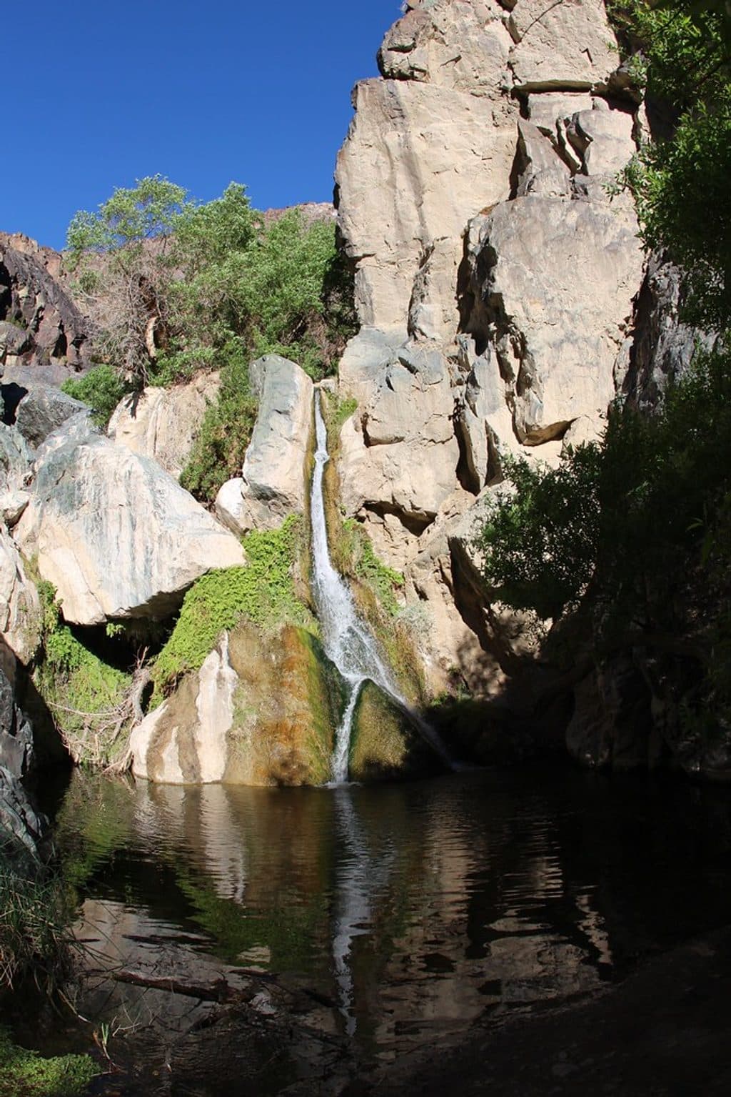 10Darwin Falls TrailA shady, year-round desert oasis with a real waterfall.
 11Golden Canyon to Red CathedralA 3-mile Golden Canyon out-and-back to the red walls of Red Cathedral.
 12Golden Canyon and Gower Gulch LoopModerate badlands loop linking Golden Canyon and Gower Gulch
 13Zabriskie Point to Golden CanyonStrenuous 7.8-mile loop from Zabriskie Point through Gower Gulch and Golden Canyon
 14Wildrose Peak TrailShorter path to big Death Valley views from a historic trailhead
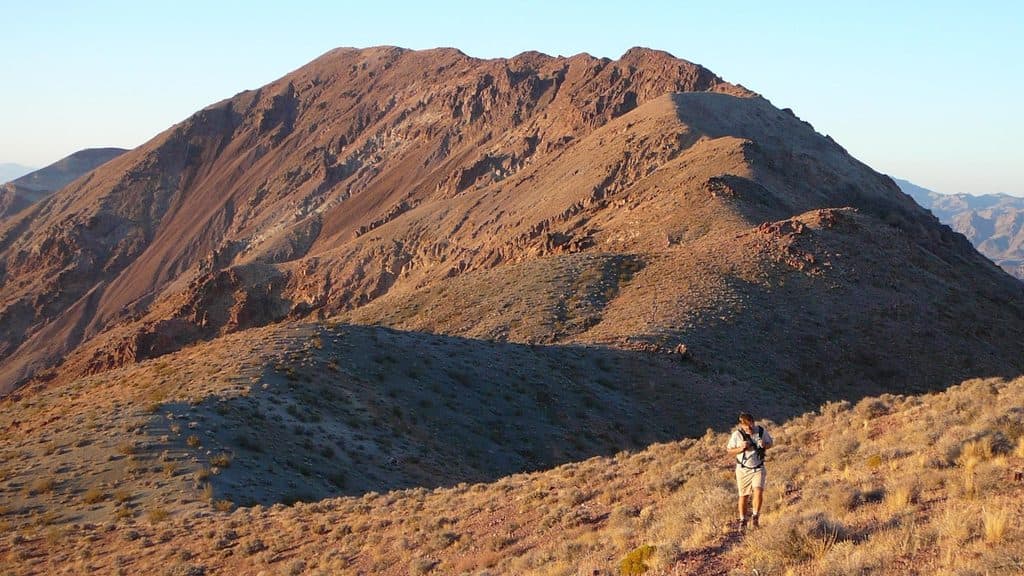 15Dante's Ridge to Mount PerryDifficult, exposed unofficial ridge route from Dantes View to Mount Perry
 16Badlands Loop (Zabriskie Point)A 2.7-mile moderate loop through colorful badlands below Zabriskie Point.
 17Eureka DunesA remote cross-country circuit over California’s tallest dunes
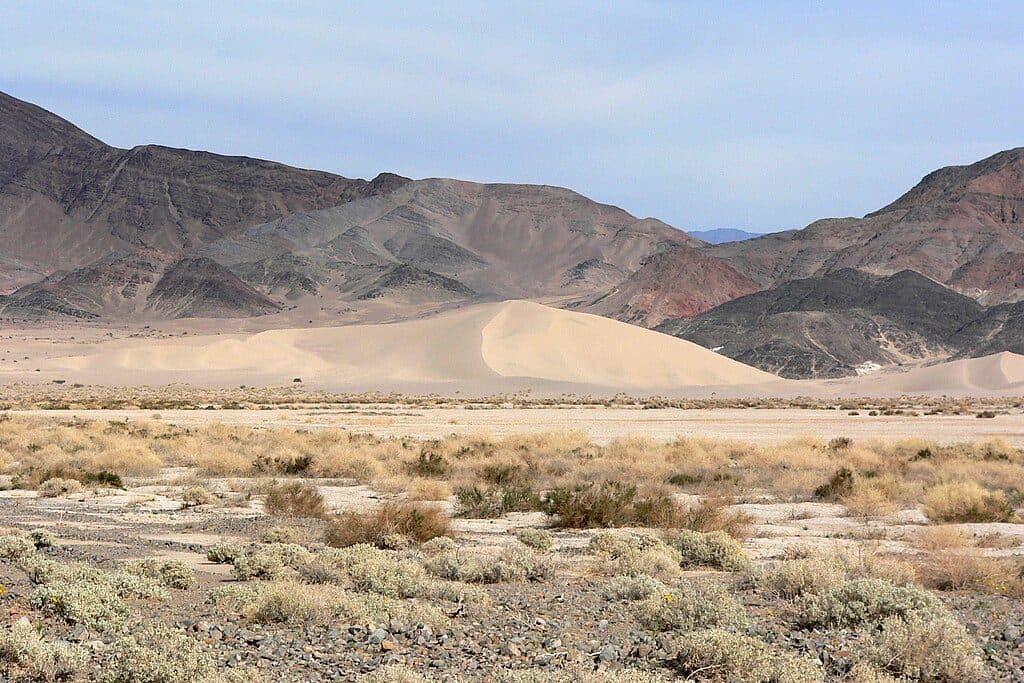 18Ibex DunesRemote, unsigned cross-country dunes reached by a rough backcountry road
 19Sidewinder CanyonA demanding cross-country hike to three rugged slot canyons.
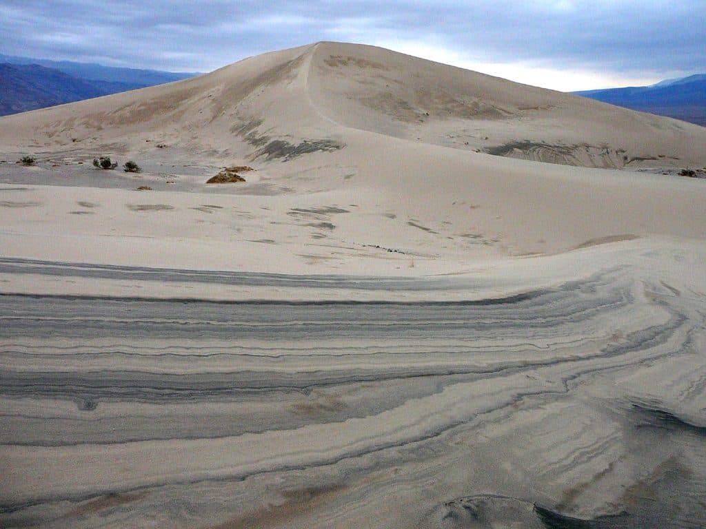 20Panamint DunesAn exposed cross-country trek to Panamint Valley’s remote high dunes
 21Marble CanyonRemote, unmarked 8.4-mile out-and-back through Marble Canyon narrows; 4WD access and route-finding required.
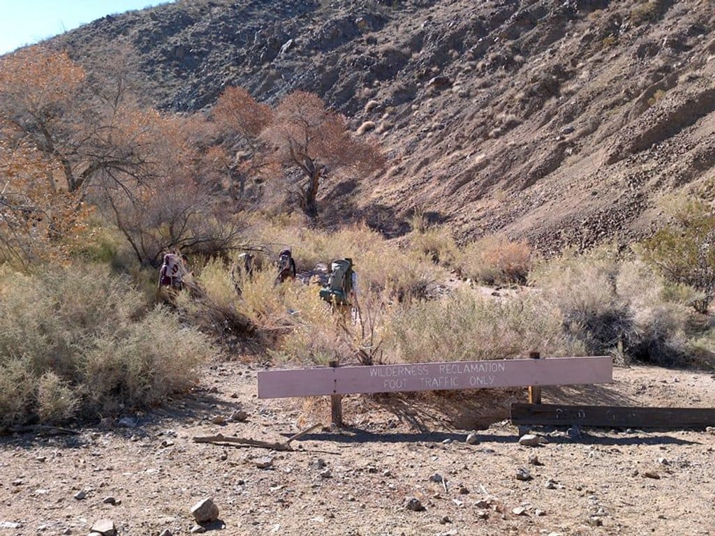 22Cottonwood-Marble Canyon LoopA demanding backcountry loop through Cottonwood, Deadhorse, and Marble Canyons
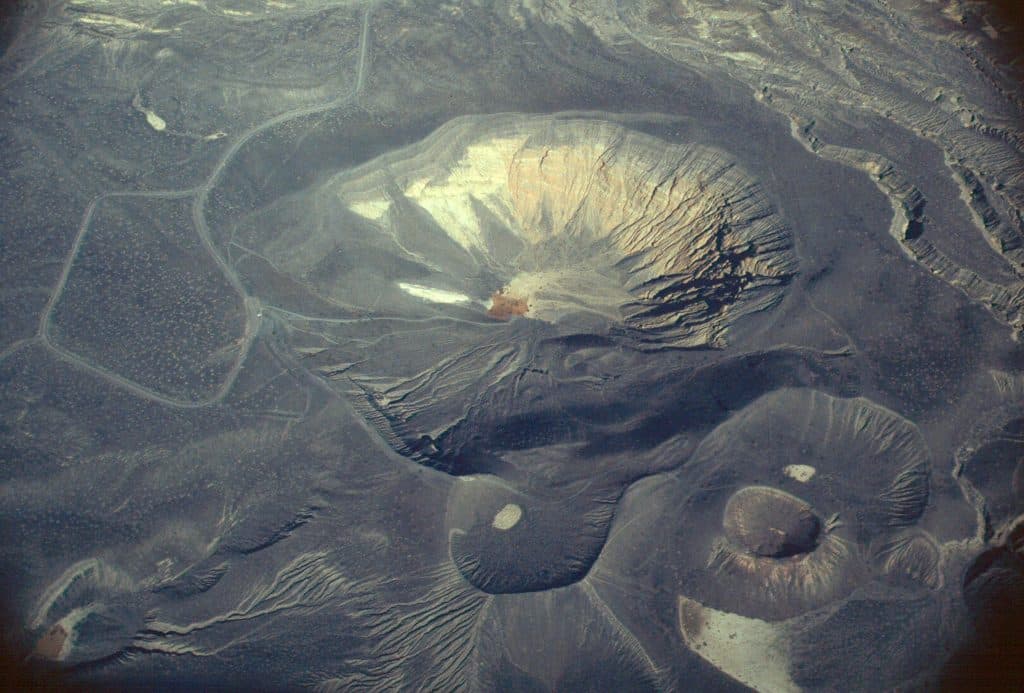 23Little Hebe Crater LoopModerate exposed crater-rim loop linking Ubehebe Crater with views of Little Hebe
 24Fall Canyon TrailRemote, unmaintained out-and-back into colorful Fall Canyon narrows from the Titus Canyon trailhead.
 25Corkscrew Peak TrailUnmarked 7.2-mile desert summit route with loose scrambling and wide-open views
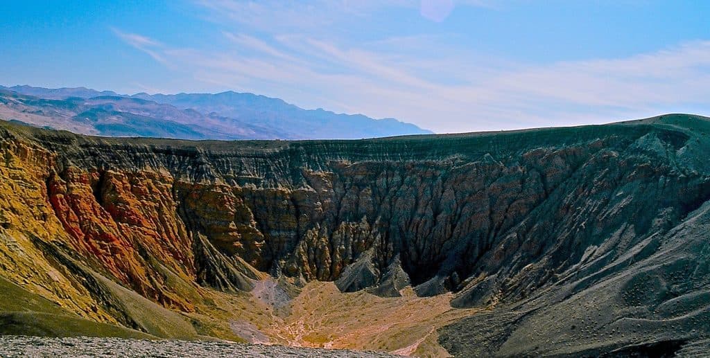 26Ubehebe Crater Rim TrailModerate crater-rim loop with panoramic Ubehebe views
 27Desolation Canyon TrailColor-drenched badlands and a quiet canyon with easy scrambles
 28Keane Wonder Mine TrailSteep climb through mining relics to huge Death Valley views
 29Grotto CanyonUnmarked desert-canyon scramble through polished narrows to a high chokestone
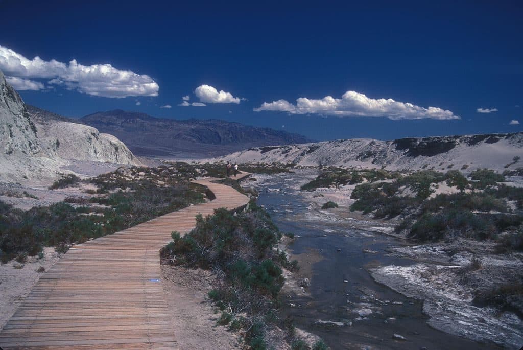 30Salt Creek Interpretive TrailAn easy, flat boardwalk loop through Salt Creek’s rare desert wetland and pupfish habitat.
 31Death Valley ButtesUnmarked ridge scramble to wide Death Valley views and an exposed high summit.
 32Willow Canyon TrailQuiet desert canyon to a rare seasonal waterfall and narrows.
 33Tucki Mountain via Mosaic CanyonExpert cross-country summit route through Mosaic Canyon with 6,100 feet of gain and broad Death Valley views
 34Natural Bridge Canyon TrailRocky out-and-back to a natural bridge and dry falls
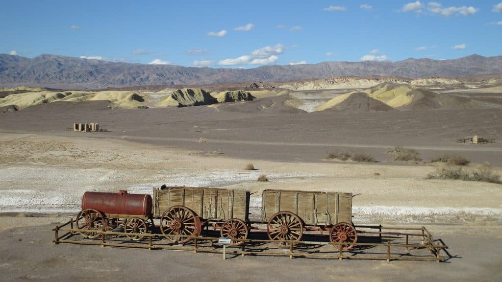 35Harmony Borax Works Interpretive TrailA short paved loop through the ruins and stories of Death Valley’s Harmony Borax Works.
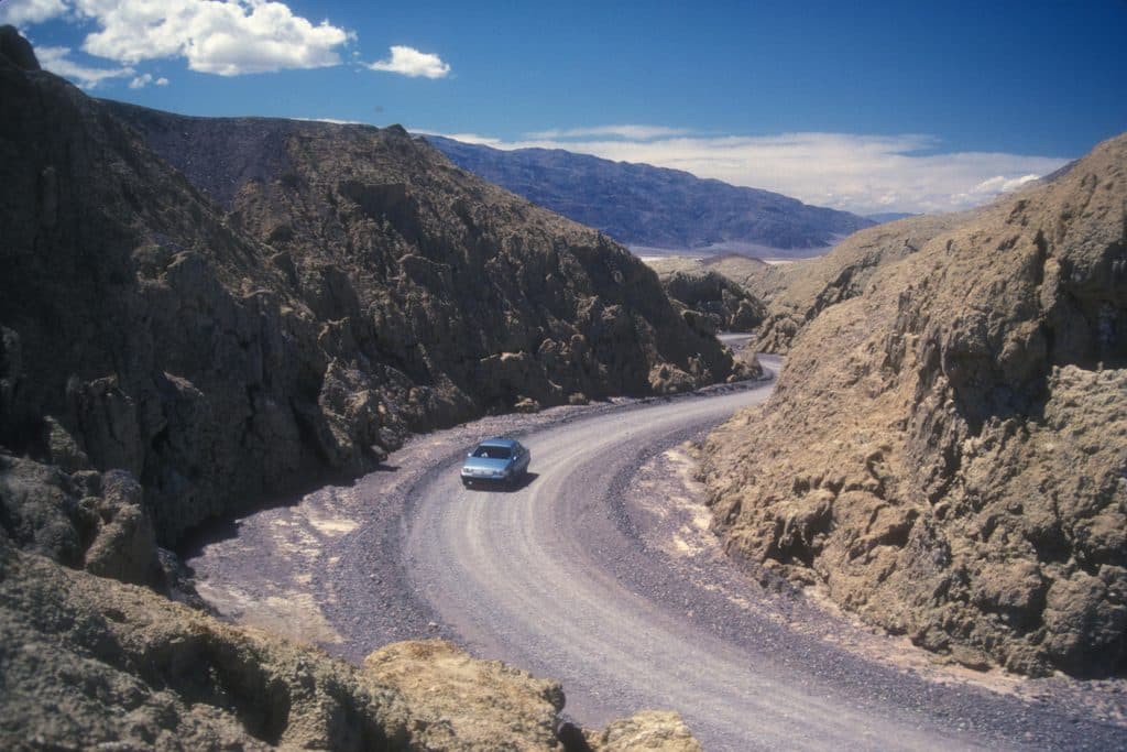 36Mustard Canyon LoopOne-way drive through mustard-colored badlands from Harmony Borax Works to CA-190

The highest, rockiest slopes around here are a summer buffet for grizzly bears.
Death Valley Tour Guide
Death Valley, narrated.
Parkwolf is a GPS audio tour guide for Death Valley National Park. As you drive, it chimes in with what’s ahead: hidden gems, upcoming stops, history, geology, and wildlife, right through your car’s speakers.
See the Death Valley audio tourRecorded for this place
Dante's View: The Best Panorama in the ParkListen
“The road you're on climbs to Dante's View, perched in the Black Mountains over a mile above the valley floor. It's famous for having one of the best panoramic viewpoints in the park.”
Plays as you drive up to Dante's View in the Parkwolf Death Valley Tour Guide.
More stories near here in the app
- Badwater's Salt Polygons
- Walking on Salt at Badwater Basin
- Greenwater’s Vanished Copper Boom
- 130 audio storiesacross Death Valley’s roads, triggered by GPS as you drive
- Wildlife heatmapsfor Bighorn Sheep, Desert Tortoise, Coyote, and 13 more
- Works offlinemaps, 36 trails, 114 places, and audio download before you lose signal
- CarPlay readysimple controls built for the drive
“Fantastic app with many points of information… It’s great to just turn on while you’re driving and it gives you an audio tour of the national Park. We love it!!!!”

