Parking
Start at the paved Ubehebe Crater rim lot, which overlooks the crater. There is no restroom at the lot; the nearest is Grapevine Ranger Station, 5 miles east.
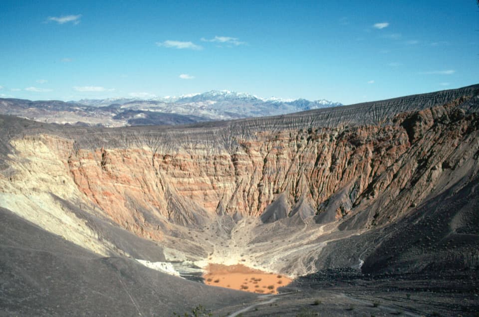
Death Valley National Park, CA · NV
A short, steep cinder descent to Ubehebe’s crater floor.
Photo: NPS
Overview
Map & elevation
Plan your hike

The highest, rockiest slopes around here are a summer buffet for grizzly bears.
Death Valley Tour Guide
Parkwolf is a GPS audio tour guide for Death Valley National Park. As you drive, it chimes in with what’s ahead: hidden gems, upcoming stops, history, geology, and wildlife, right through your car’s speakers.
See the Death Valley audio tourRecorded for this trailhead
Ubehebe Crater: A Steam-Blasted Bowl“Ubehebe Crater is coming up, and the paved parking area gives you a view straight into this half-mile-wide bowl. You don't need to hike to appreciate it.”
Plays as you drive up to this trailhead in the Parkwolf Death Valley Tour Guide.
More stories near here in the app
“Fantastic app with many points of information… It’s great to just turn on while you’re driving and it gives you an audio tour of the national Park. We love it!!!!”


Trail guide
Ubehebe Crater Floor Trail is a roughly 0.8-mile out-and-back from the rim lot: a short walk north along the rim, a steep descent to the main crater floor, then the same climb back. It is a quick way to stand inside the bowl, but it is much harder than the distance suggests. Expect about 450 feet of climbing on the return over loose cinders; budget around an hour, more if the footing slows you.
Follow the rim path north for about a tenth of a mile to the descent, then drop roughly 0.3 mile through deep volcanic cinder to the floor. Going down is easier; the loose surface makes the return tiring and slow. Stay on the tread because the rim and nearby gullies are unstable.
At the bottom, a pink-brown mud flat sits beneath steep, banded walls; short-lived lakes form here at times. Maar craters form when rising magma meets groundwater and steam explosions blast out a crater. Ubehebe is the largest of about a dozen in this field and may have formed as recently as about 2,100 years ago. The area is important to the Timbisha Shoshone people.
Wildlife
 72 sightingsBighorn SheepMost seen around 6 PMSighting map
 101 sightingsDesert TortoiseMost seen around 8 AMSighting map
 466 sightingsCoyoteMost seen around 6 PMSighting map
 29 sightingsFeral BurroMost seen around 5 PMSighting map
 30 sightingsMule DeerMost seen around 7 PMSighting map
 65 sightingsKit FoxMost seen around 7 PMSighting map
Sighting maps show where each species has been reported across Death Valley. Wildlife moves, so no sighting is guaranteed.
Keep exploring
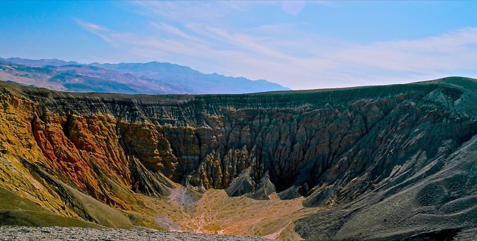 ModerateUbehebe Crater Loop1.5 mi · 1.3 hr · At the trailheadCircle a 600-foot-deep crater on an exposed volcanic rim.
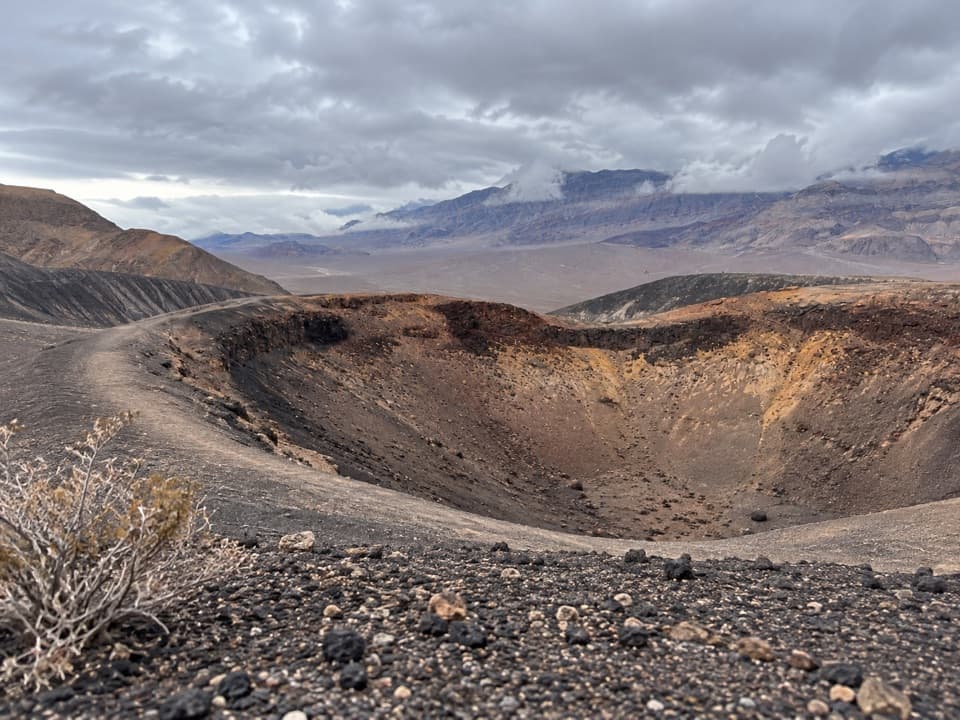 EasyLittle Hebe Crater Trail1.1 mi · 45 min · At the trailheadA short rim walk to a small crater overlooking Ubehebe.
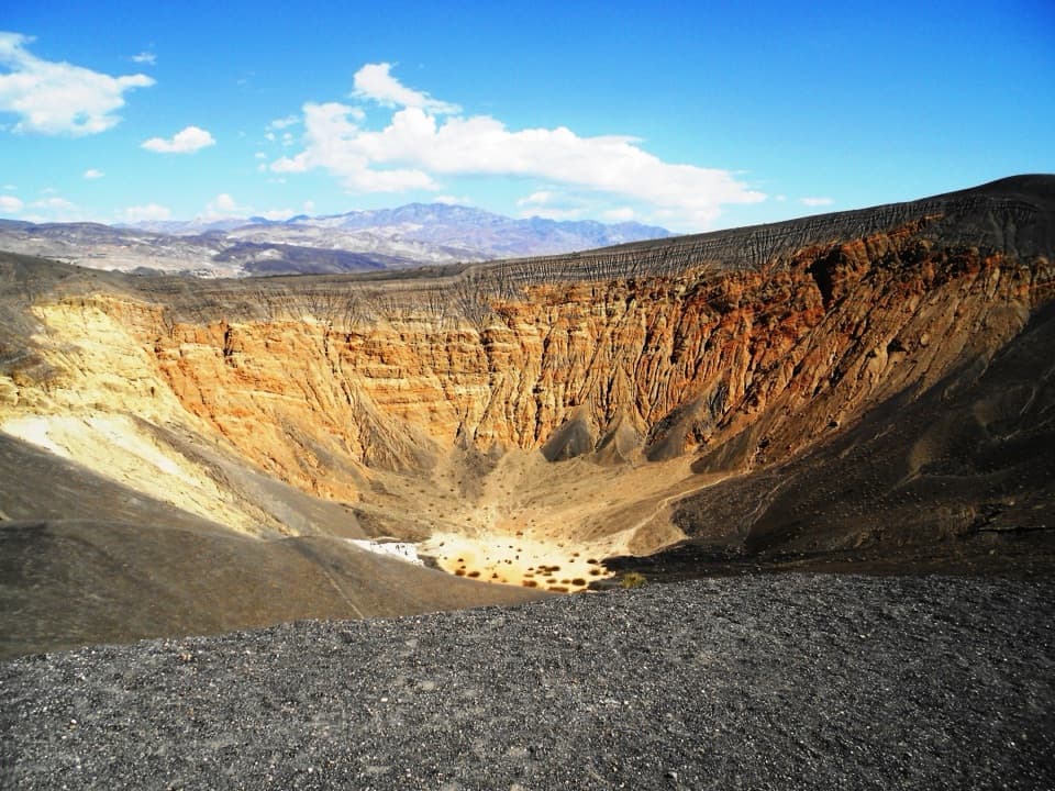 Sight · 0.2 mi awayUbehebe CraterA half-mile crater blasted open by underground steam.
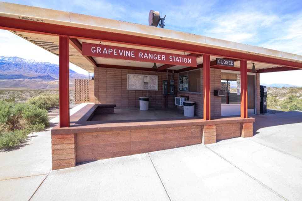 Ranger station · 5 mi awayGrapevine Ranger StationA quick park-guide stop before Ubehebe Crater.
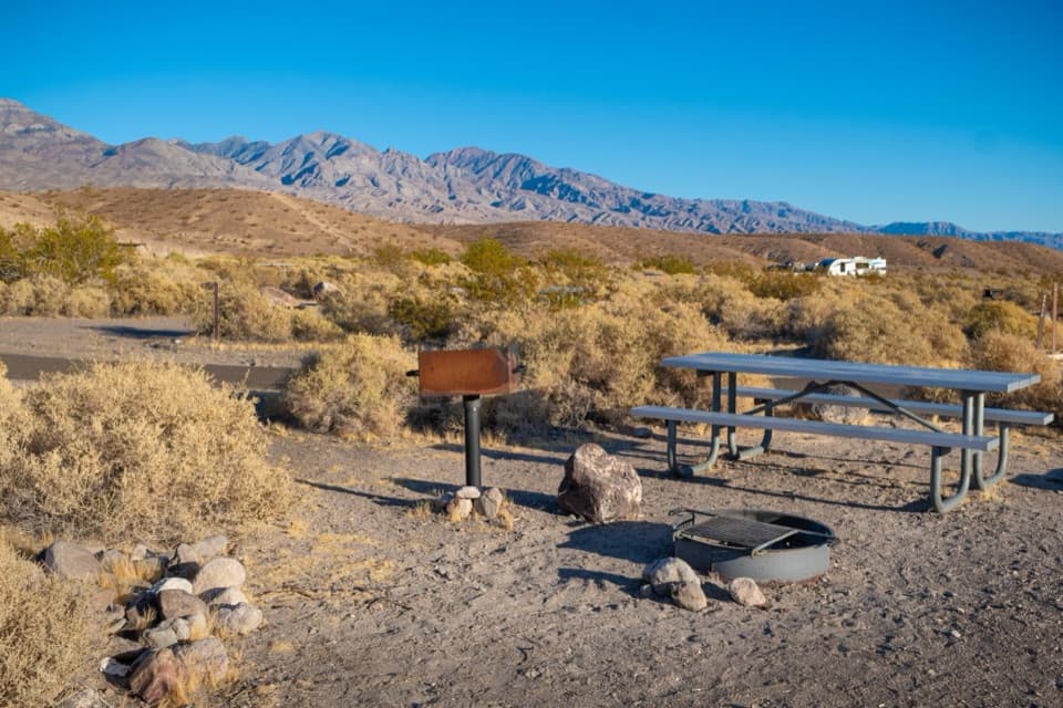 Campground · 5.8 mi awayMesquite Spring CampgroundA quiet northern base for dark skies and Ubehebe Crater.
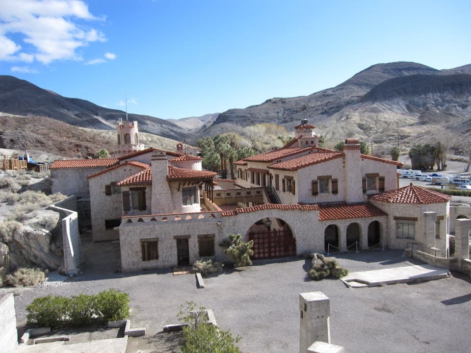 Sight · 6.4 mi awayScotty’s CastleA desert mansion built on a gold-mine story that wasn't true.
Parkwolf’s Death Valley ranking

The audio tour guide for the drive, plus offline maps, trails, and wildlife heatmaps for when the signal drops.




